© Naheland-Touristik GmbH - P. Bender

© Naheland Touristik GmbH - P. Bender
© Naheland-Touristik GmbH - P. Bender

© 3x3 Salinental - Michael Vesper

© 3x3 Salinental - H. Hartusch

© 3x3 Salinental - H. Hartusch
- Descrizione rapida
-
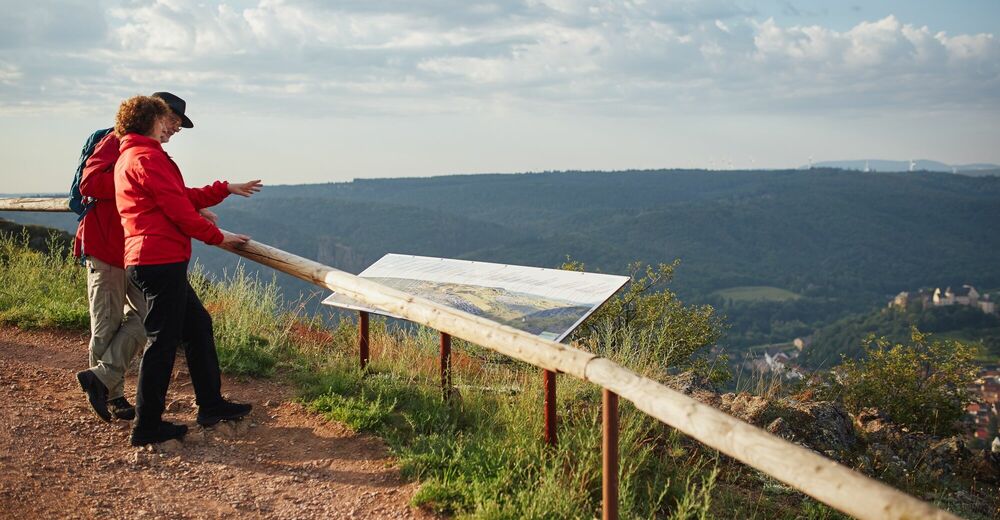
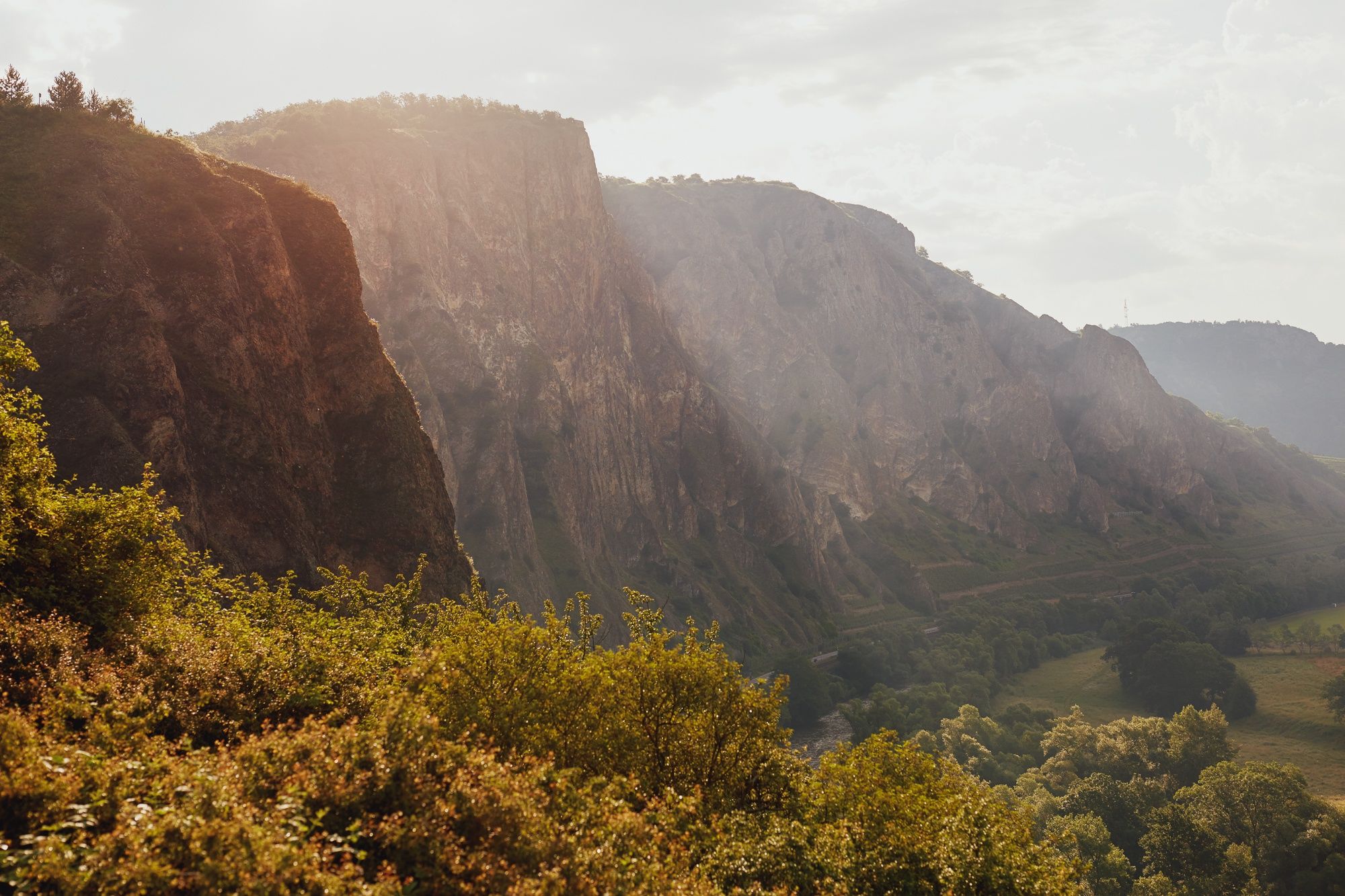
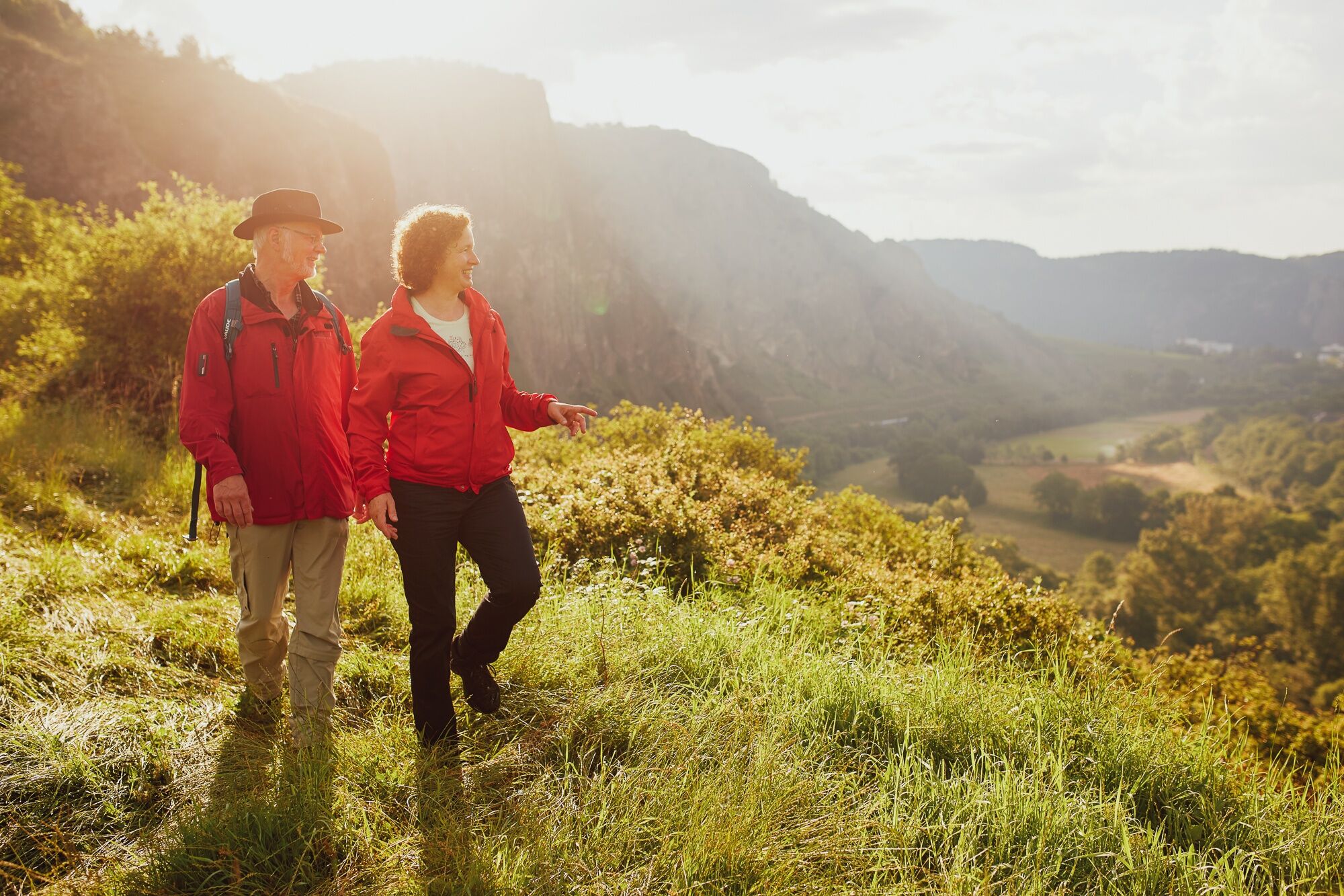
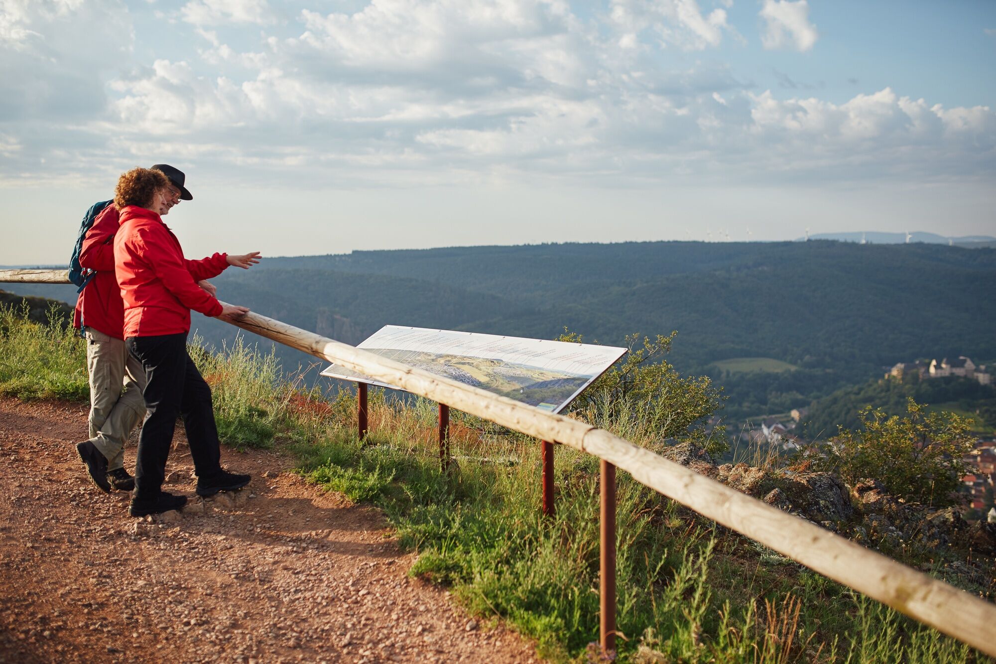
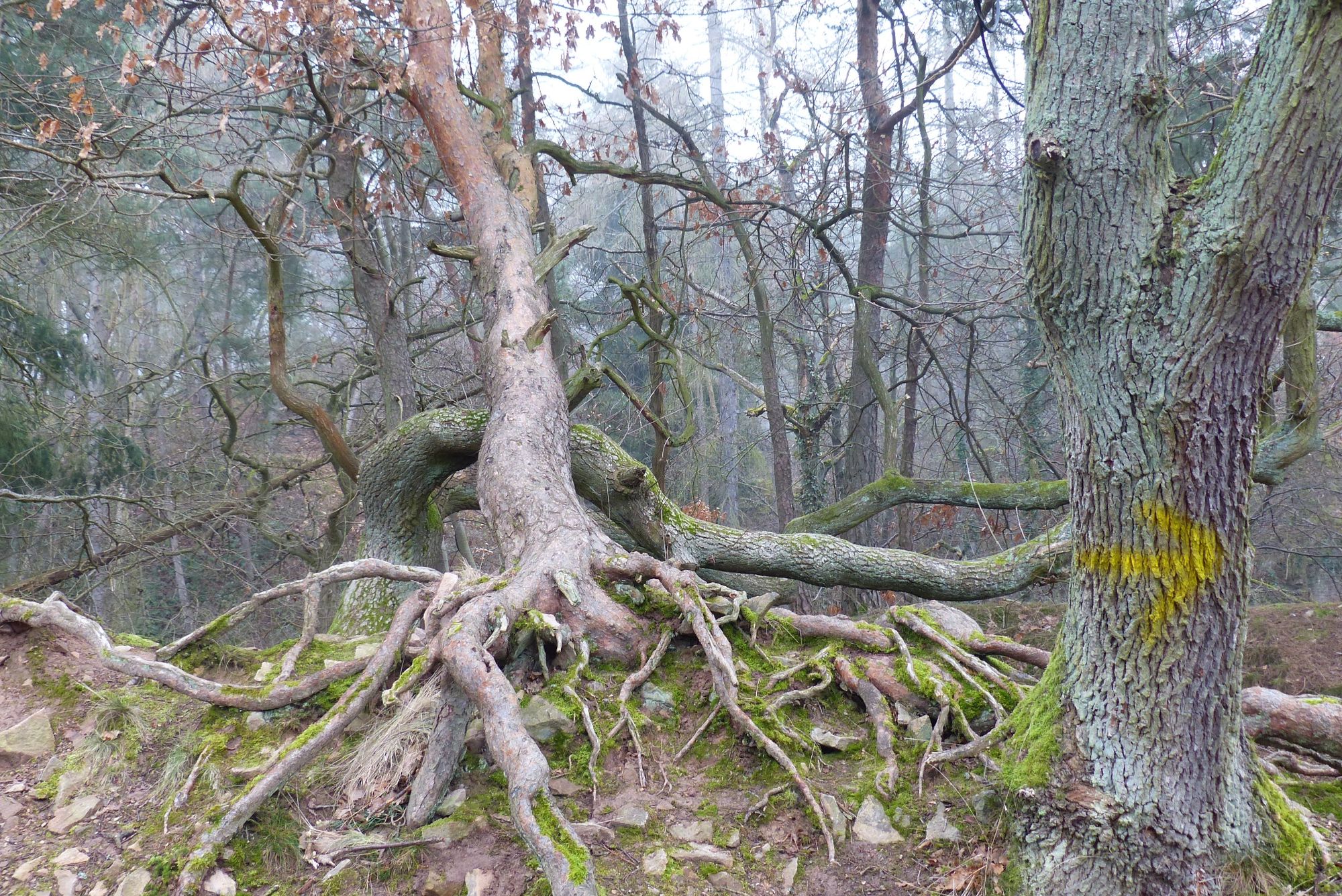
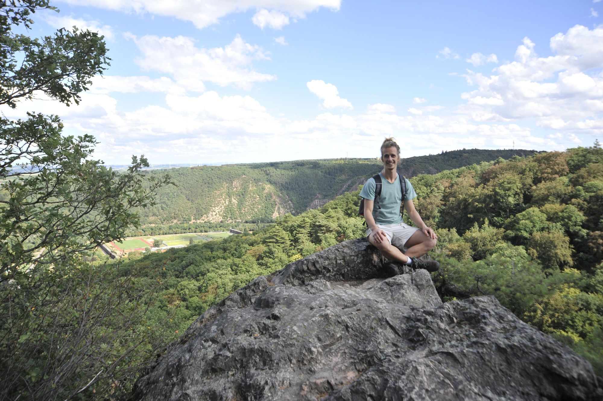
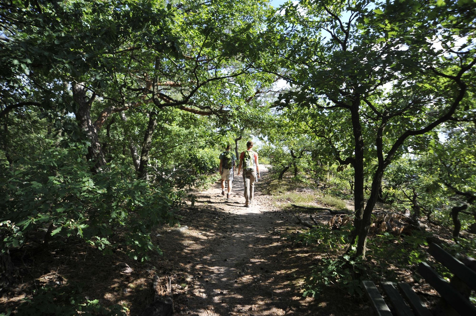
The tour takes us from the Rotenfels rock face to Bad Kreuznach. Long-distance views, paths along the edge of the forest, serpentine paths with views of the Salinental Valley and deciduous forests characterise the hike.
- Difficoltà
-
intermedio
- Valutazione
-
- Percorso
-
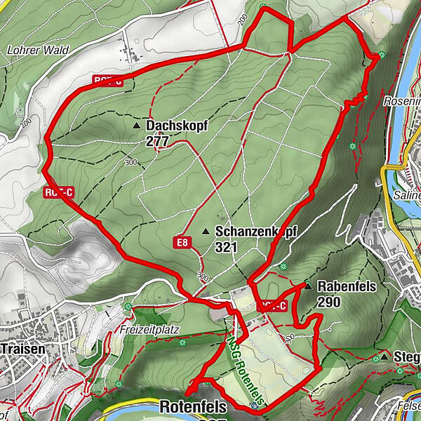
Zur Bastei0,1 kmBad Kreuznach (104 m)4,6 kmvan Recums Blick5,0 kmUhukopf (309 m)6,1 kmRabenfels (290 m)6,7 kmHeinrichskopf (293 m)7,3 kmRotenfels (327 m)8,0 kmPanoramatafel8,1 kmBastei (300 m)8,6 km
- La stagione migliore
-
genfebmaraprmaggiulugagosetottnovdic
- Punto più alto
- 317 m
- Destinazione
-
Car park Bastei, Traisen
- Profilo altimetrico
-
 © outdooractive.com
- Autore
-
Il tour 3x3Salinental ClassicTour Rotenfels è utilizzato da outdooractive.com fornito.
GPS Downloads


Info generali
Punto di ristoro
Clima curativo
Flora
Promettente
Altri tour nelle regioni