© Südpfalz-Tourismus Verbandsgemeinde Rülzheim e.V. - Gerhard Heil

© Zum Wohl. Die Pfalz. - Tobias Kauf

© Zum Wohl. Die Pfalz. - Tobias Kauf

© Zum Wohl. Die Pfalz. - Tobias Kauf

© Zum Wohl. Die Pfalz. - Tobias Kauf

© Zum Wohl. Die Pfalz. - Tobias Kauf

© Pfalz.Touristik e.V. - Dominik Ketz

© Zum Wohl. Die Pfalz. - Petra Becker

© Zum Wohl. Die Pfalz. - Petra Becker

- Descrizione rapida
-
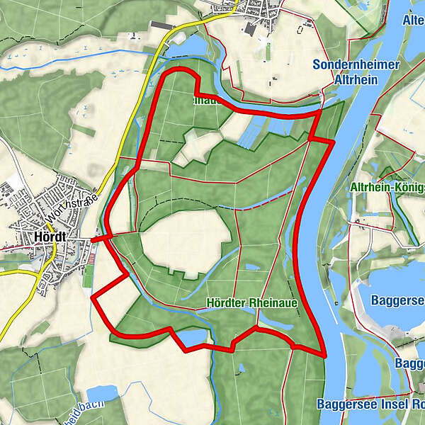
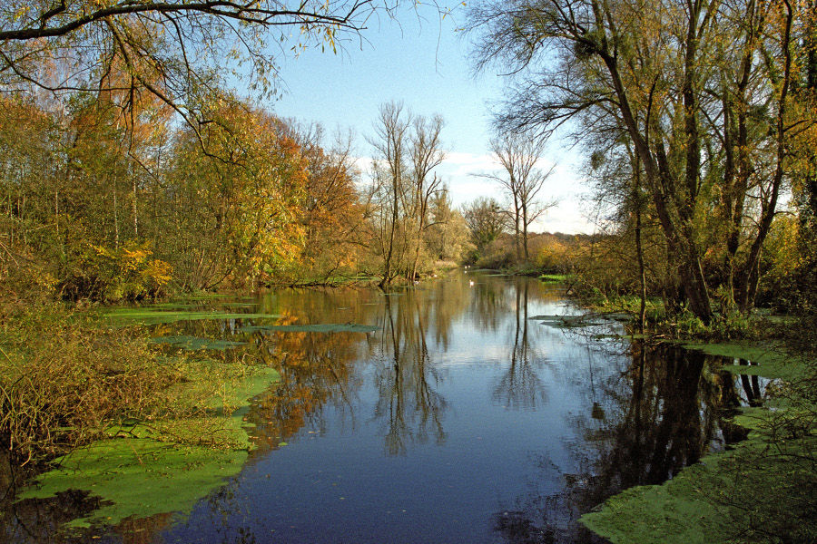
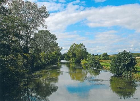
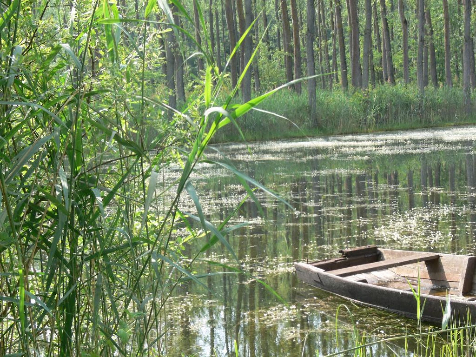
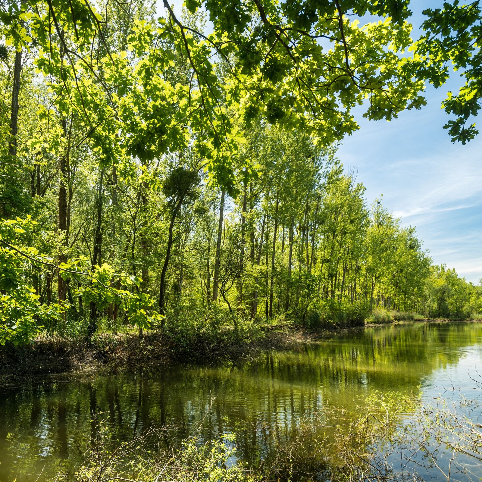
On the footsteps of the Treidler (workers who used to lead horse carriages) you can discover one of the few internationally-protected and ecologically intact meadowy countrysides.
- Difficoltà
-
facile
- Valutazione
-
- Percorso
-
Krappenkopf6,6 km
- La stagione migliore
-
genfebmaraprmaggiulugagosetottnovdic
- Punto più alto
- 100 m
- Destinazione
-
Wanderparkplatz, Rheinstraße in Hördt
- Profilo altimetrico
-
 © outdooractive.com


- Autore
-
Il tour Treidlerweg è utilizzato da outdooractive.com fornito.
GPS Downloads


Info generali
Suggerimento
Flora
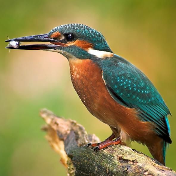
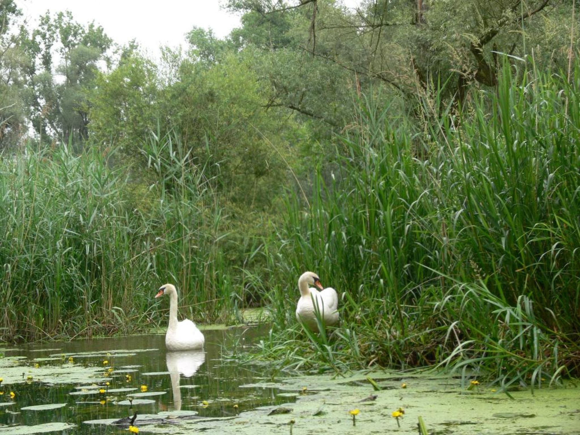
Fauna
Promettente