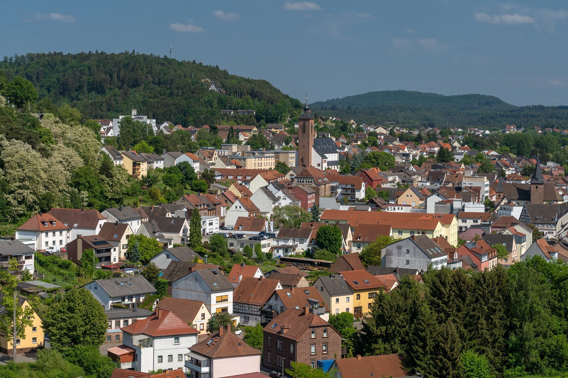
© Gräfensteiner Land Tourismus - Dirk Weber

© Pfalz.Touristik

© Gräfensteiner Land Tourismus - Harald Kröher

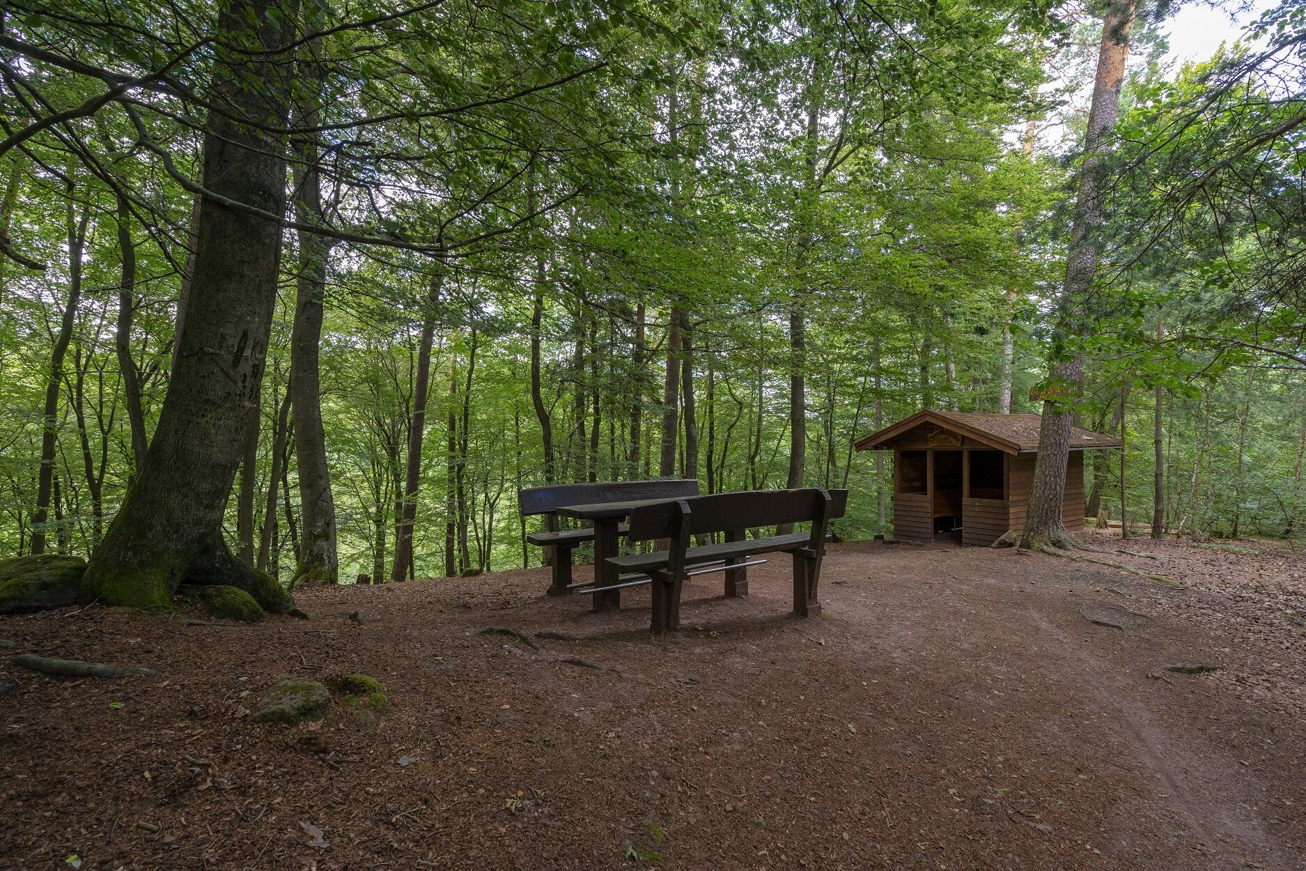
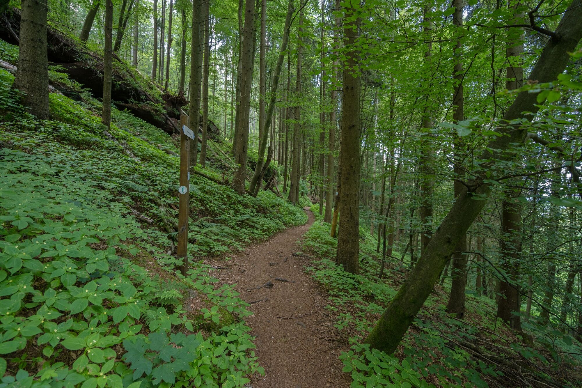
© Gräfensteiner Land Tourismus - Dirk Weber

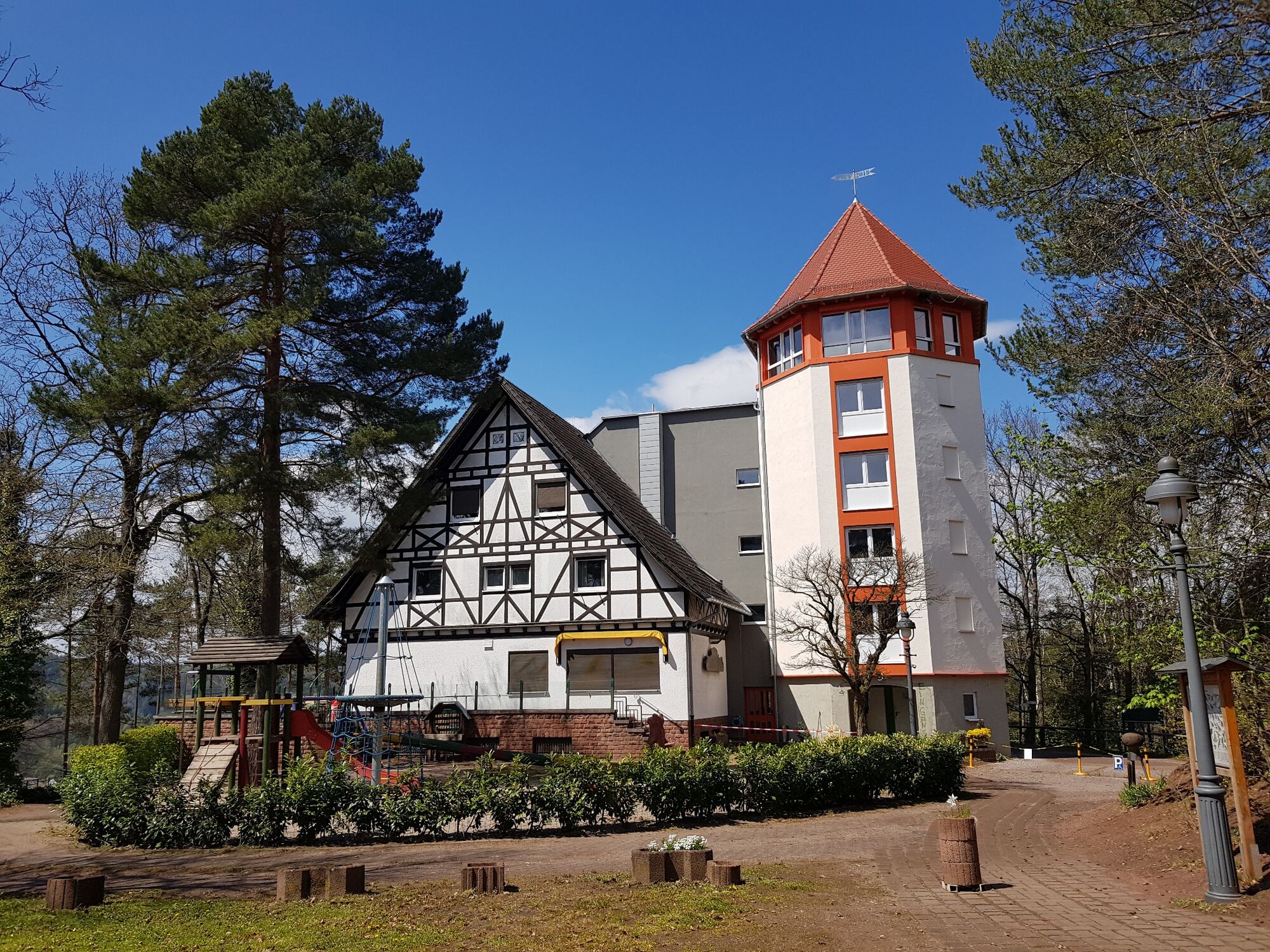
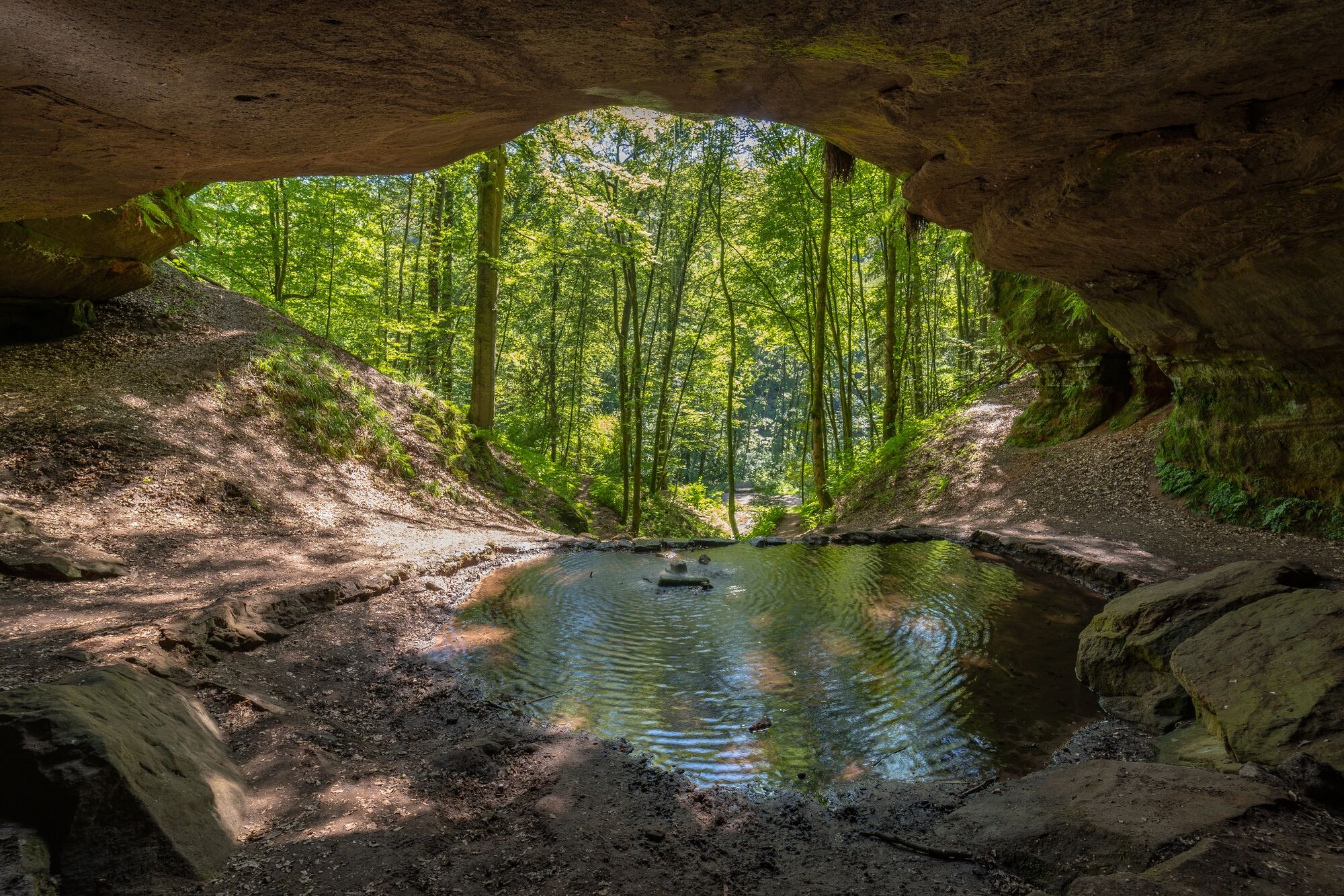
© Gräfensteiner Land Tourismus - Dirk Weber

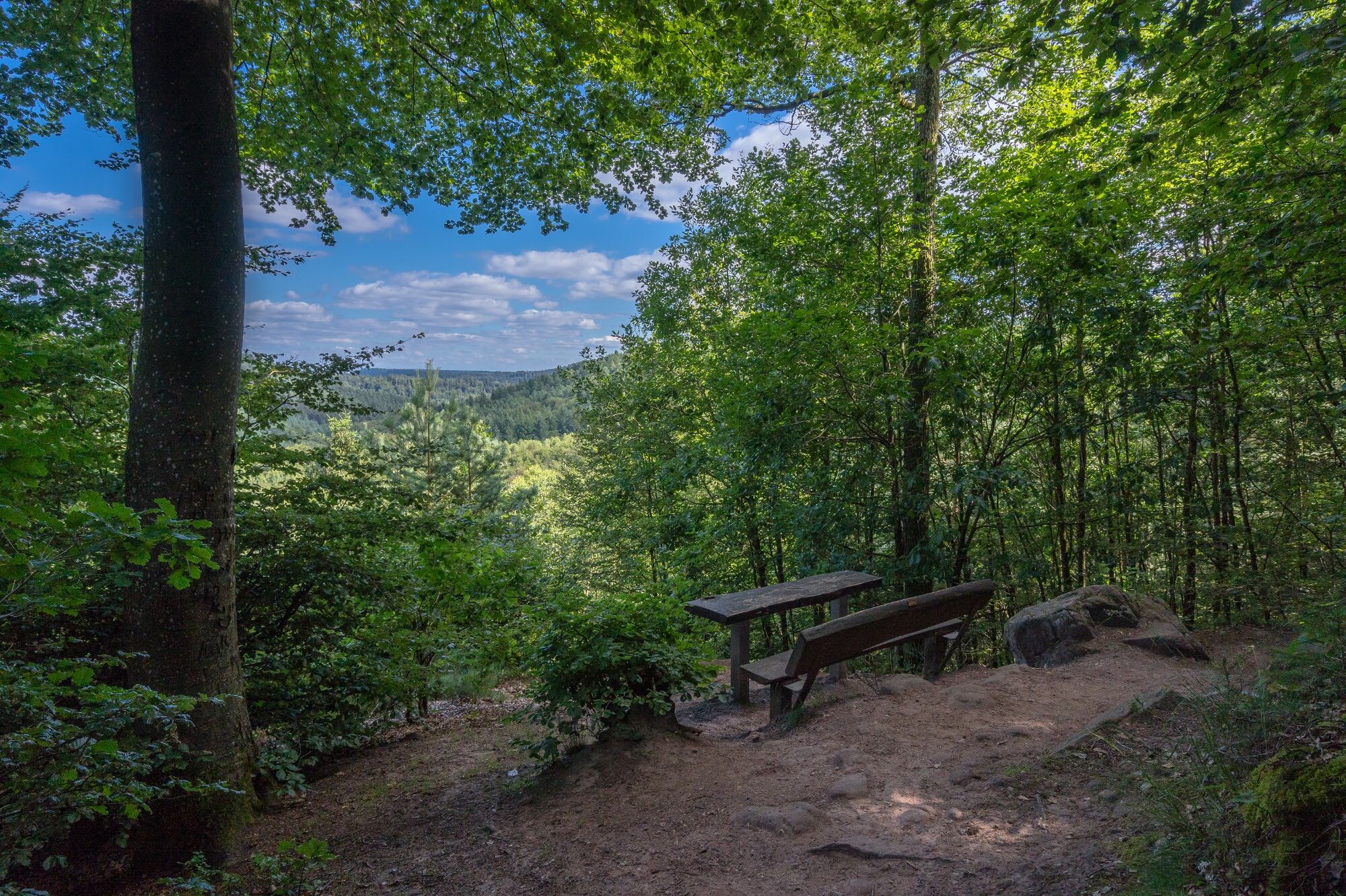
© Gräfensteiner Land Tourismus - Dirk Weber

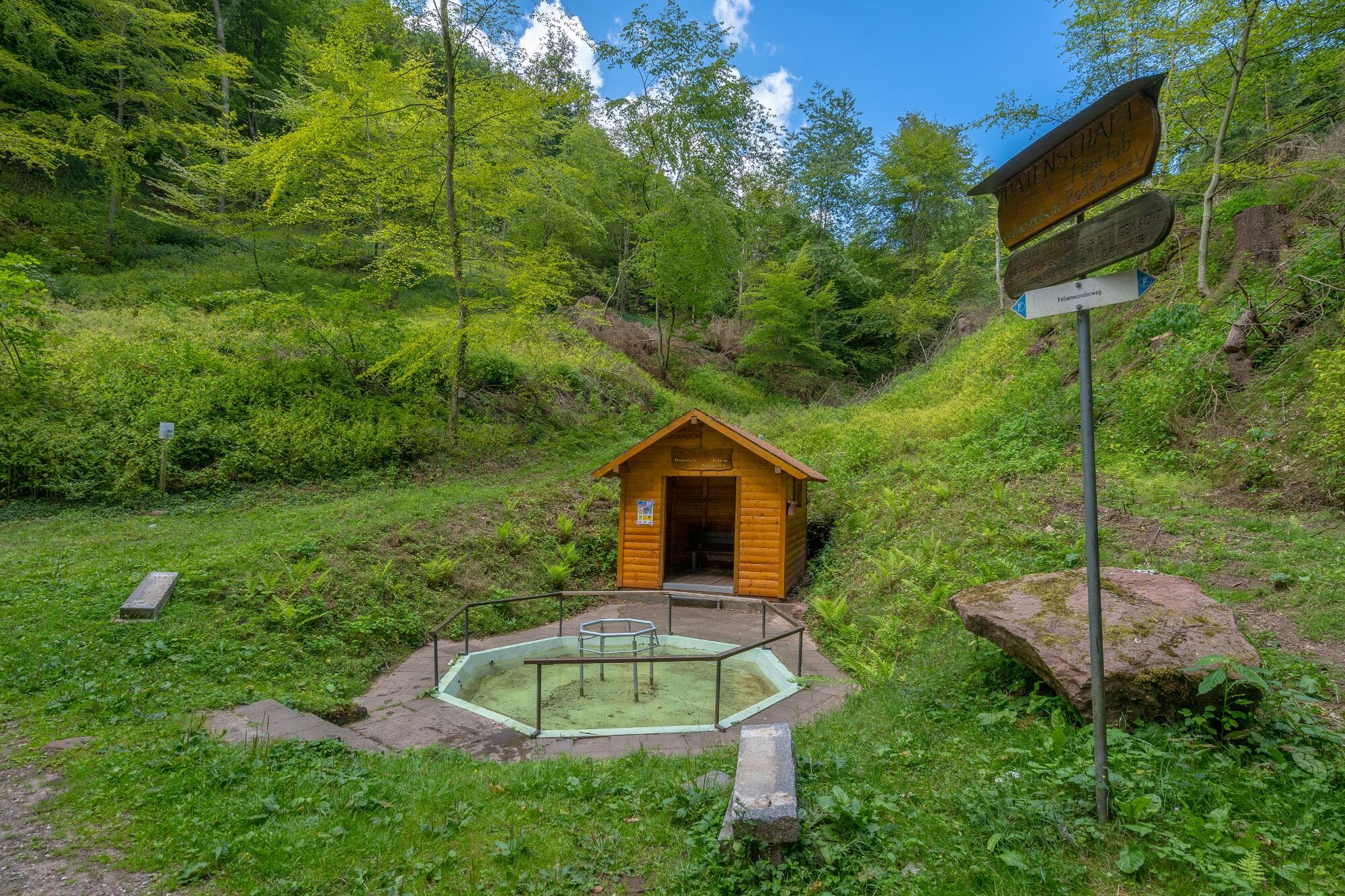
© Gräfensteiner Land Tourismus - Thomas Russold

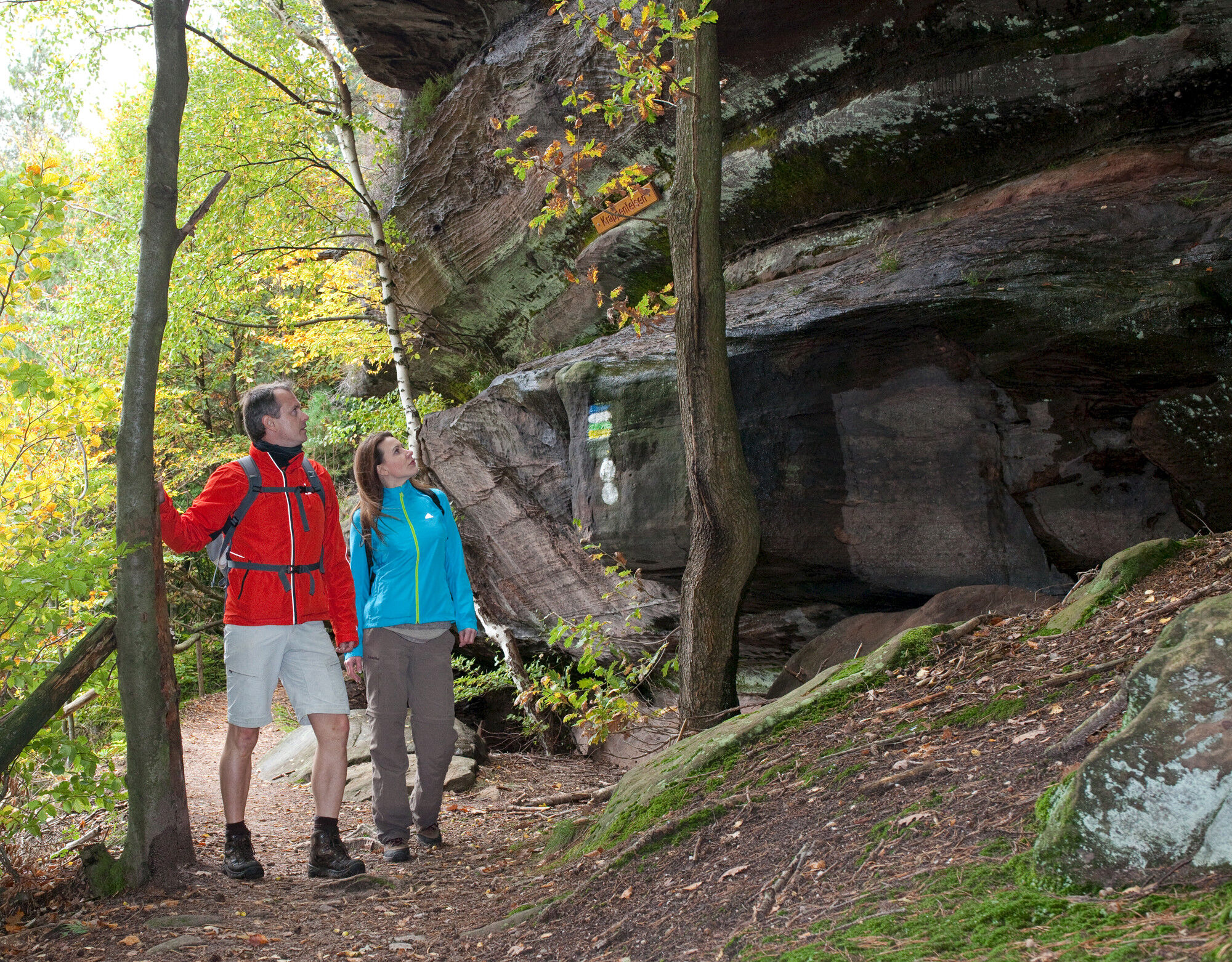
© Gräfensteiner Land Tourismus - Harald Kröher

© Gräfensteiner Land Tourismus - Dirk Weber

© Gräfensteiner Land Tourismus - Dirk Weber

- Descrizione rapida
-
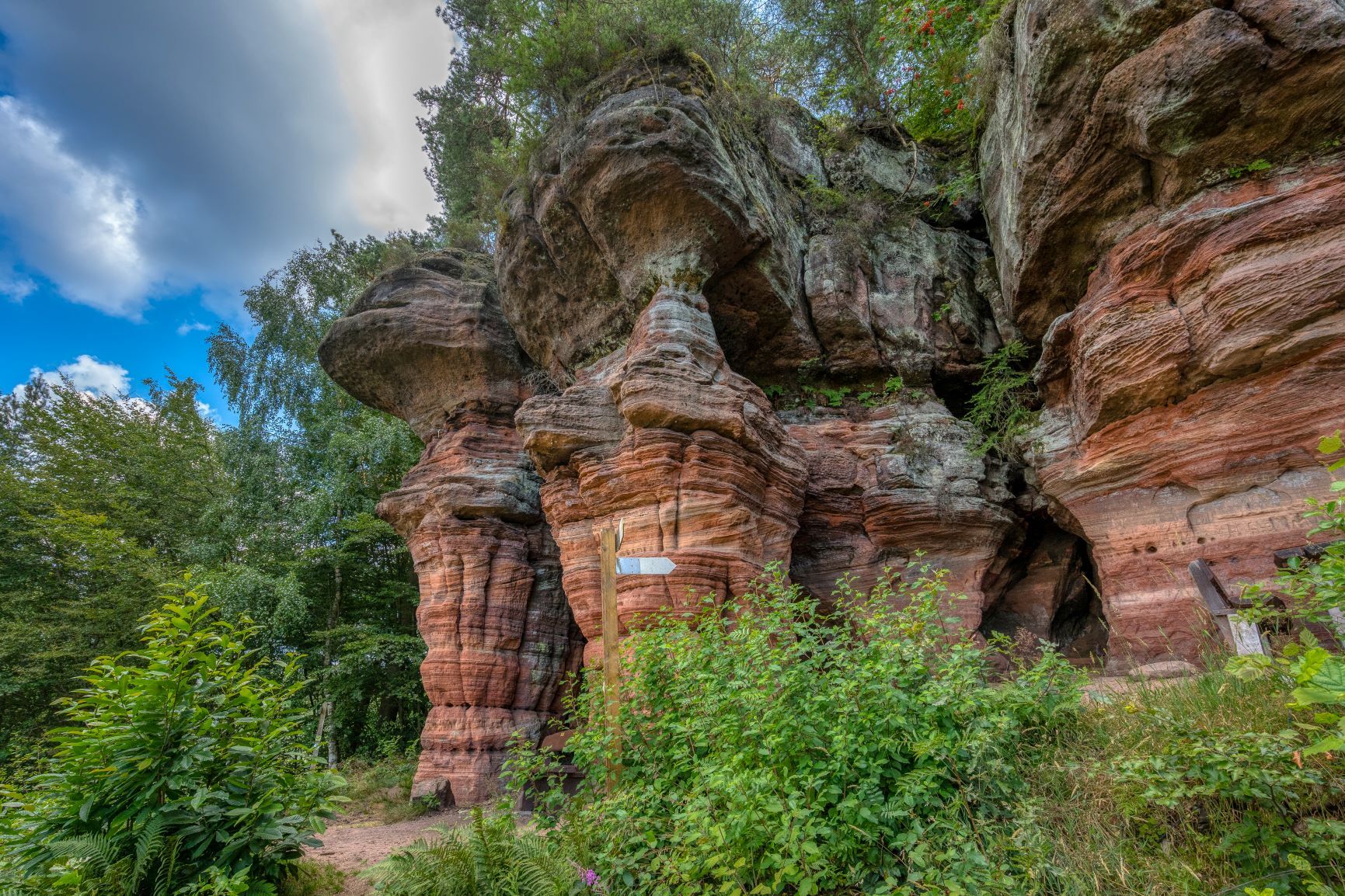
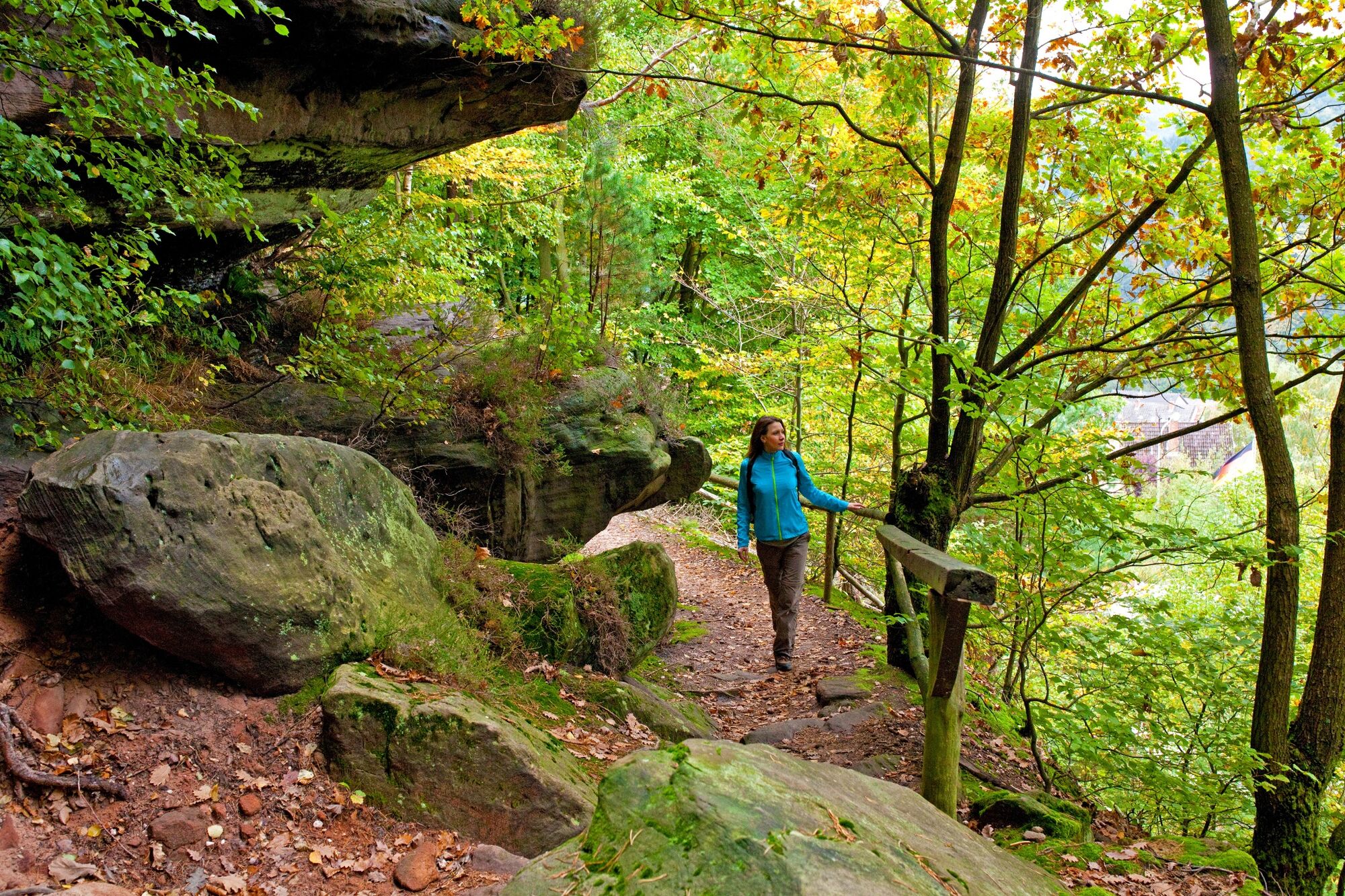
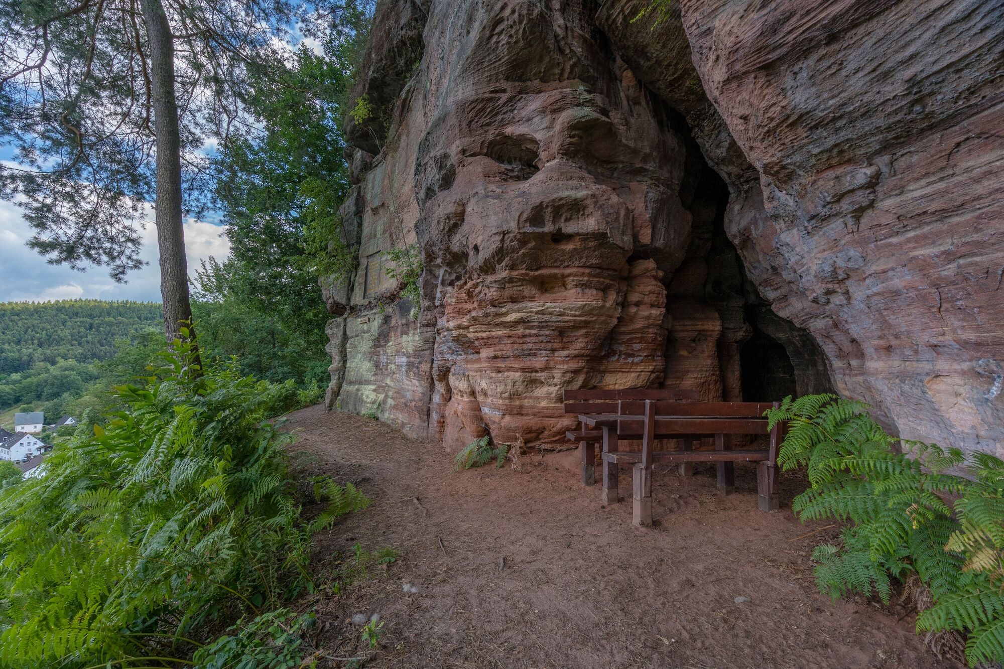
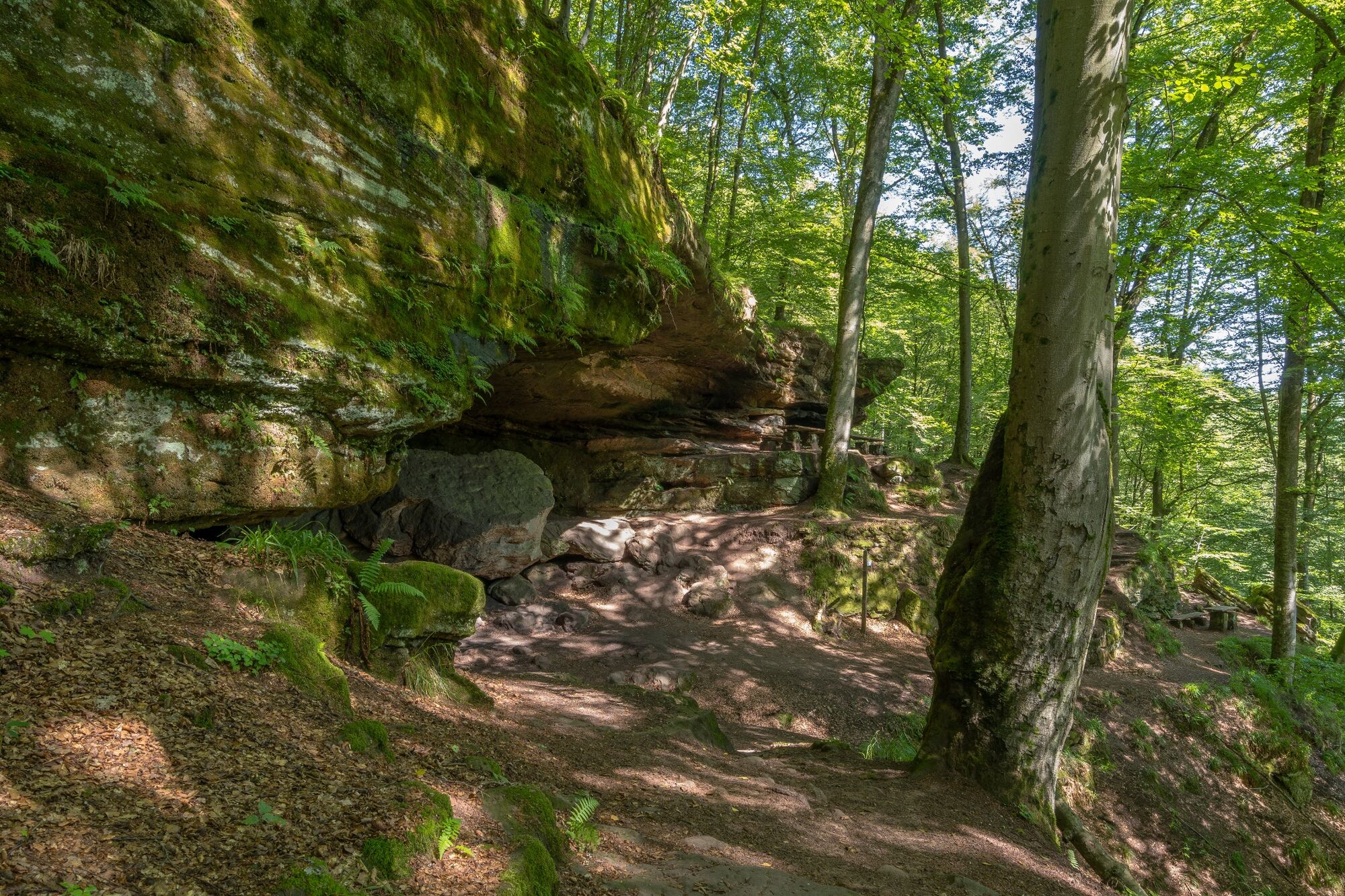
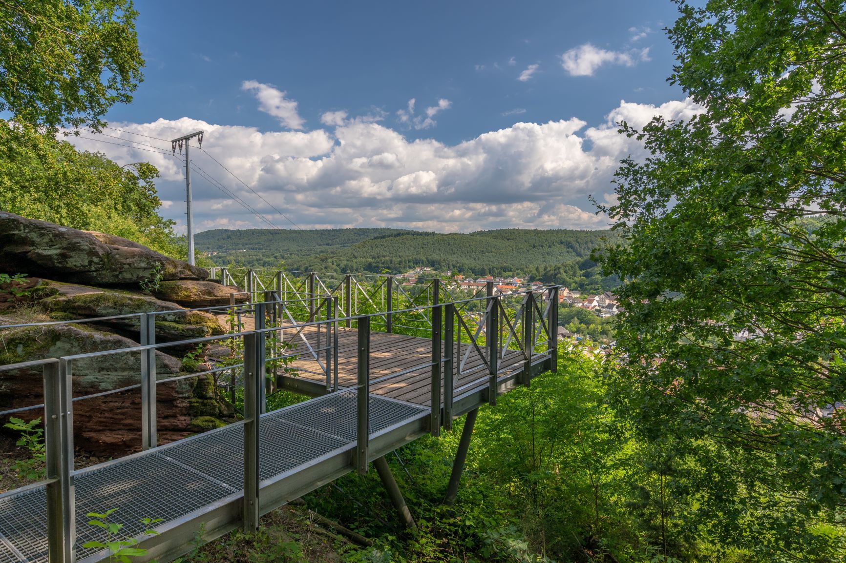
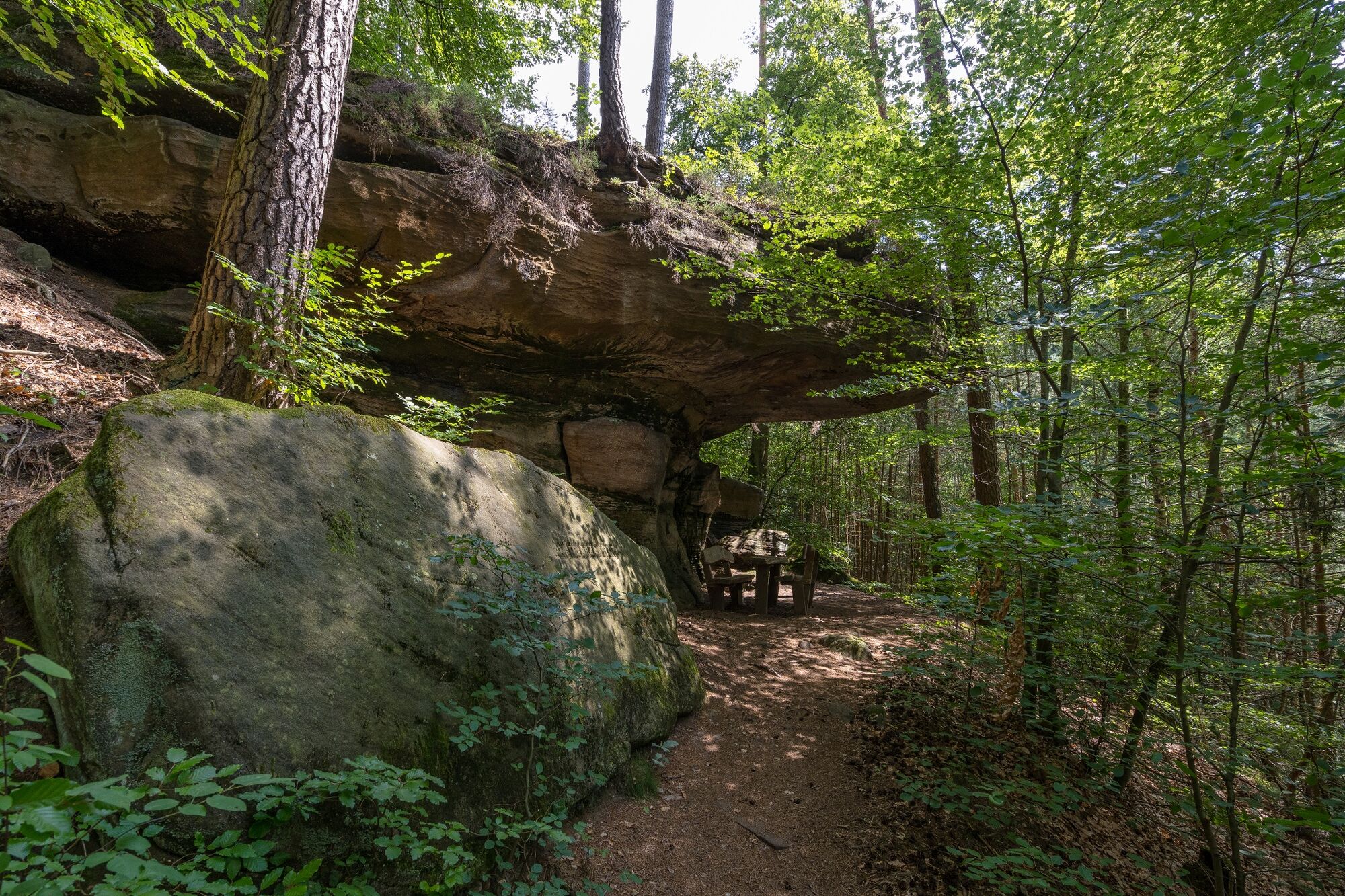
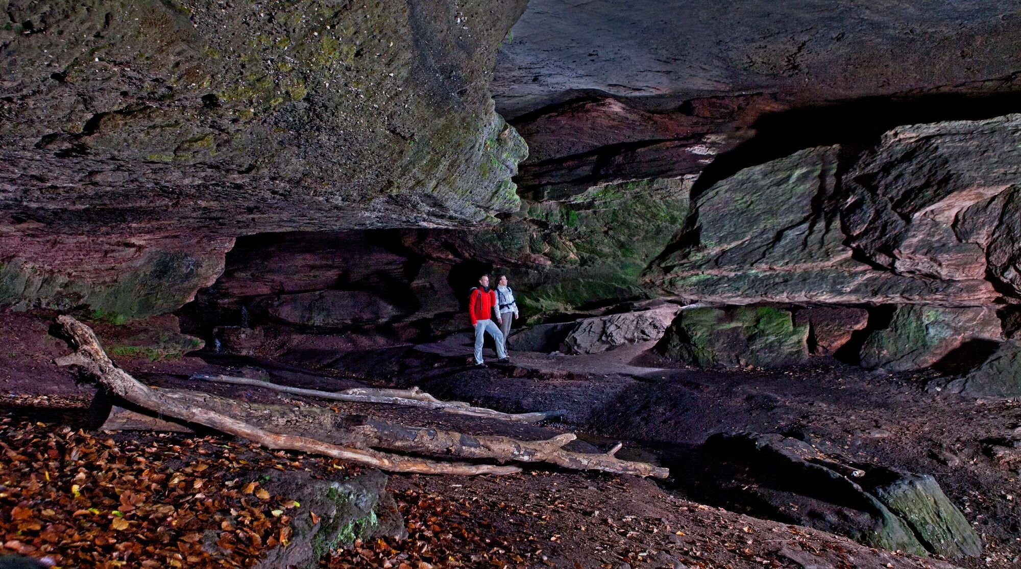
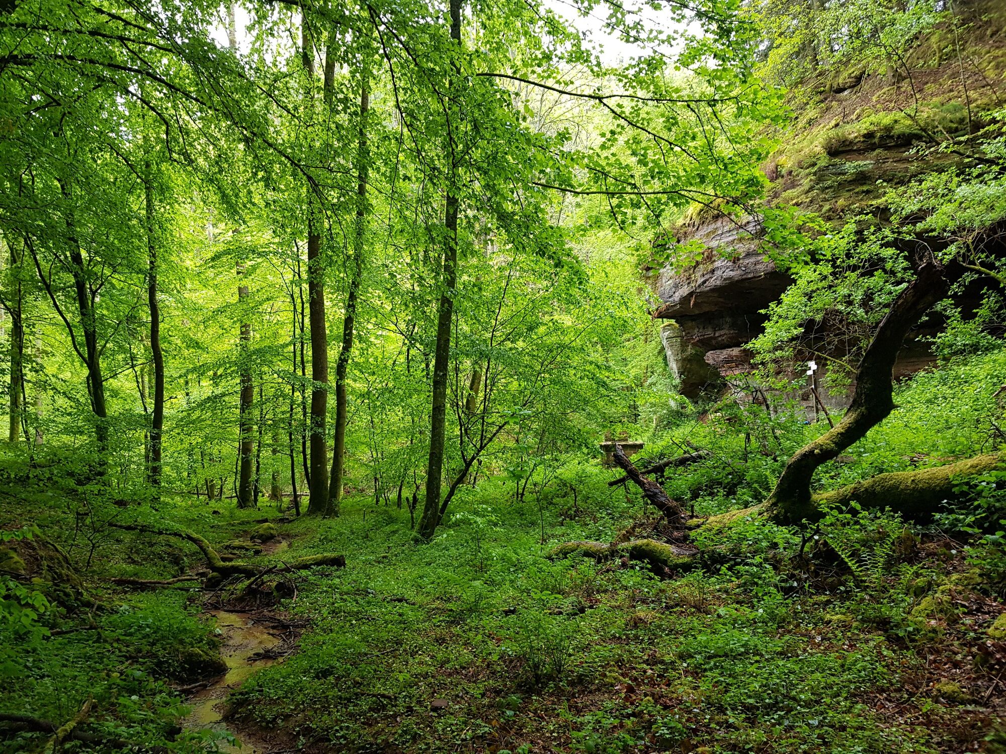
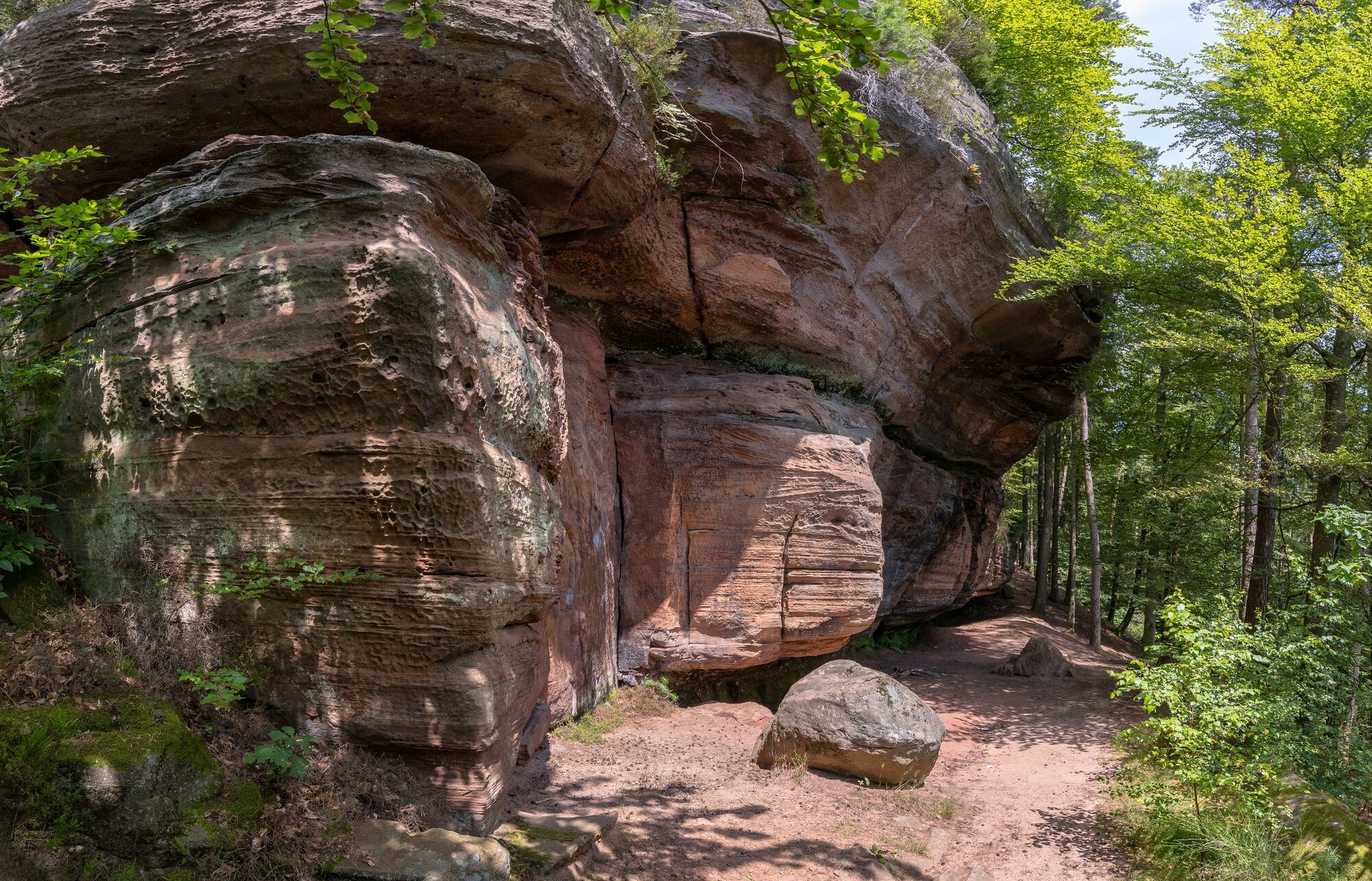
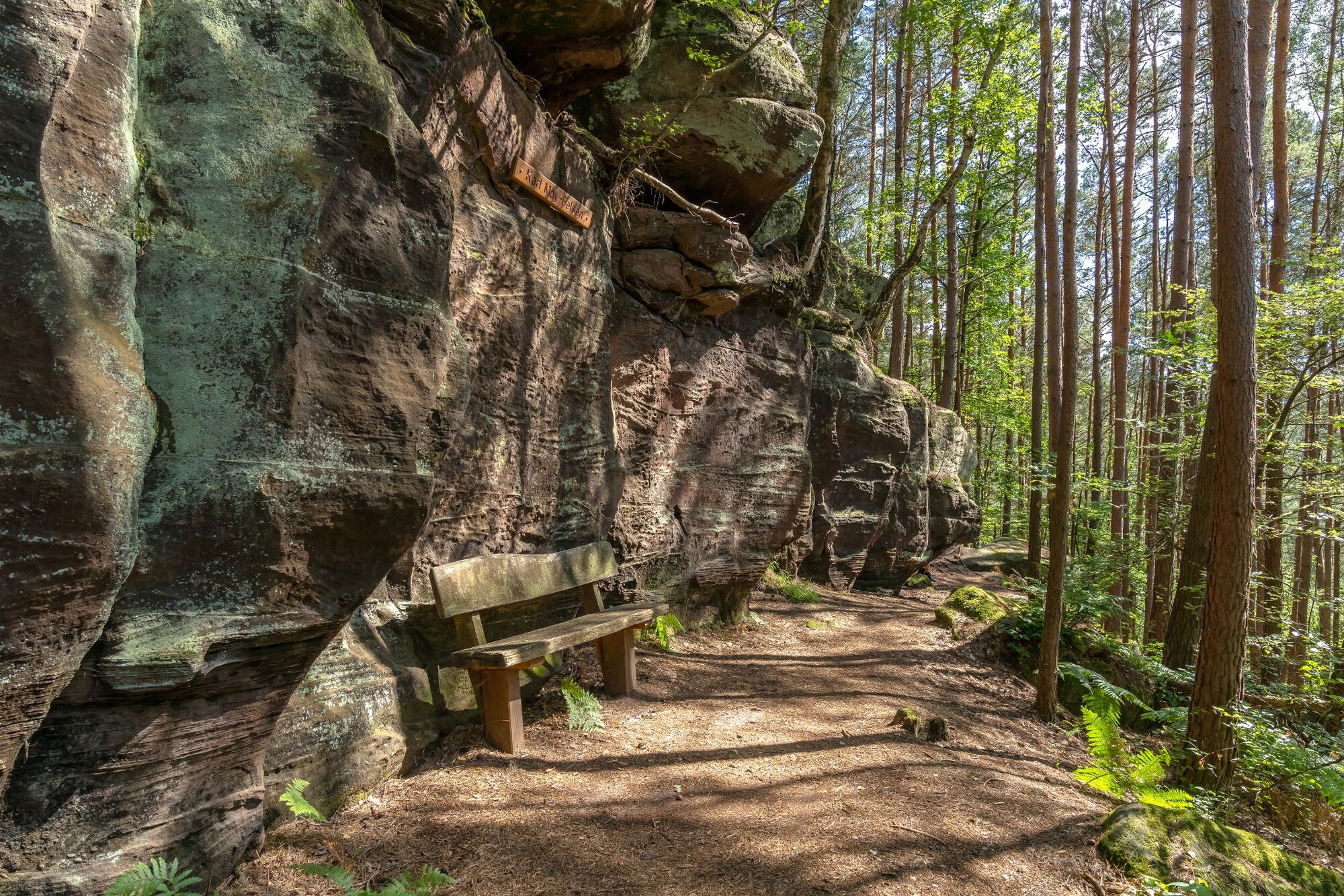
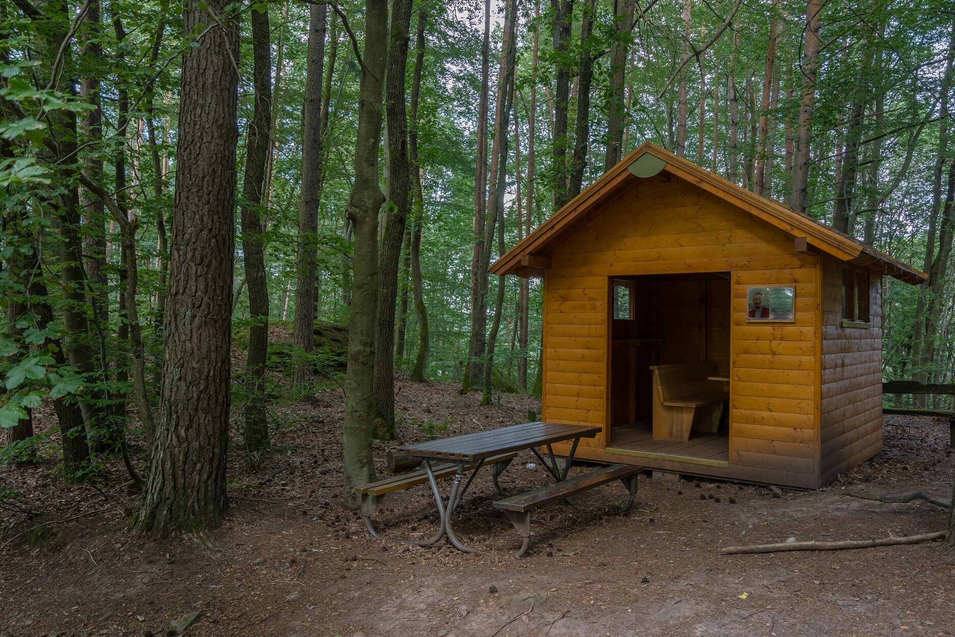
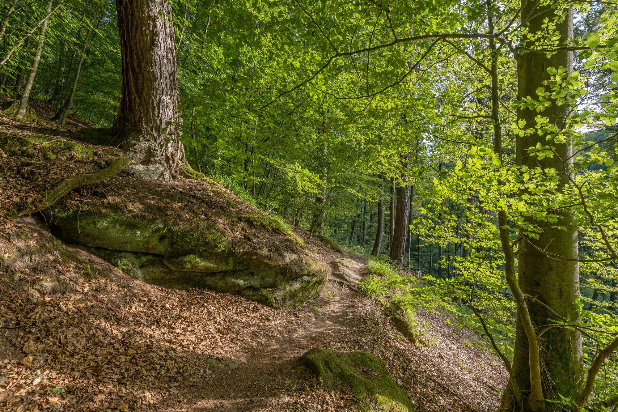
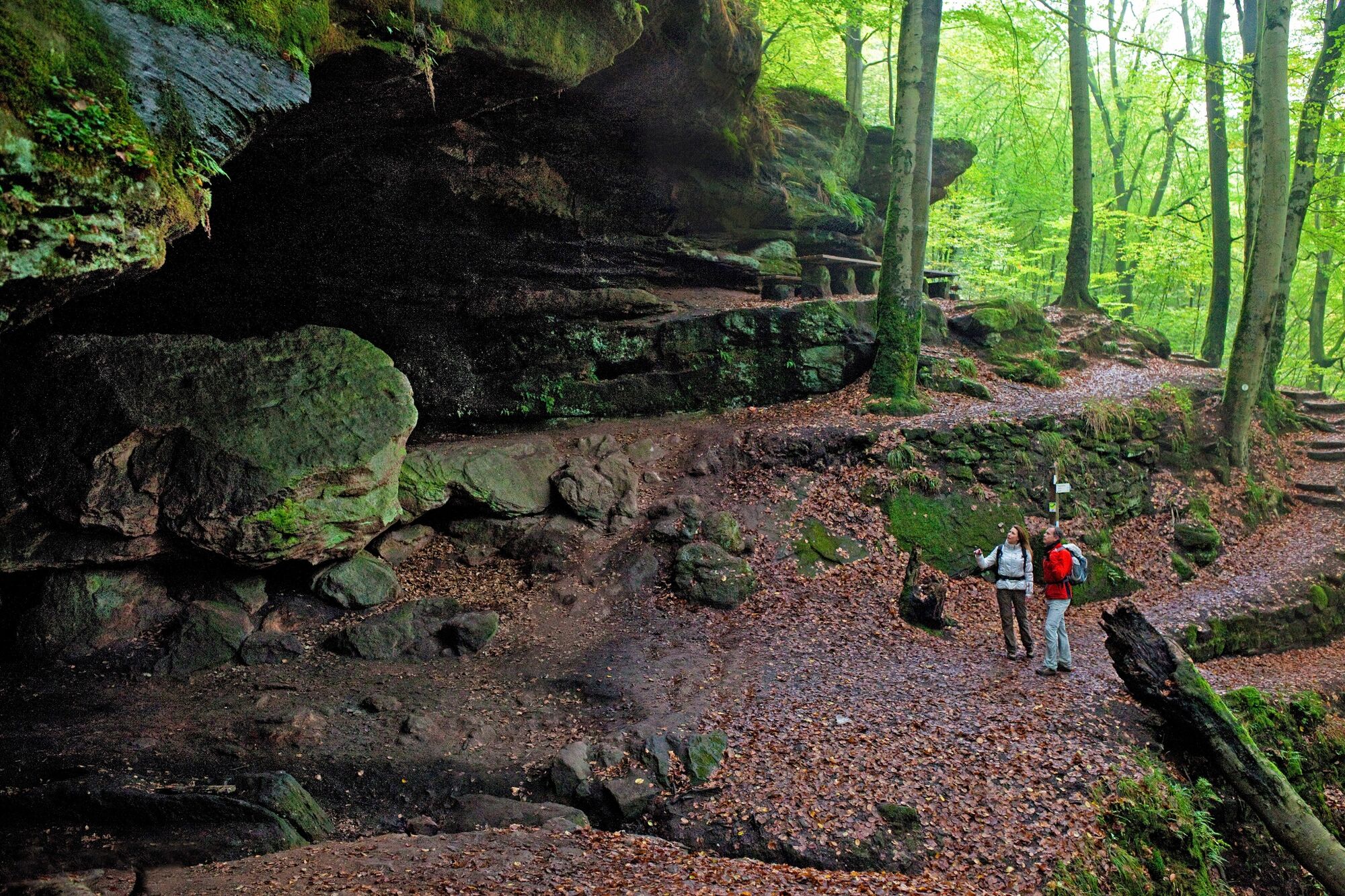
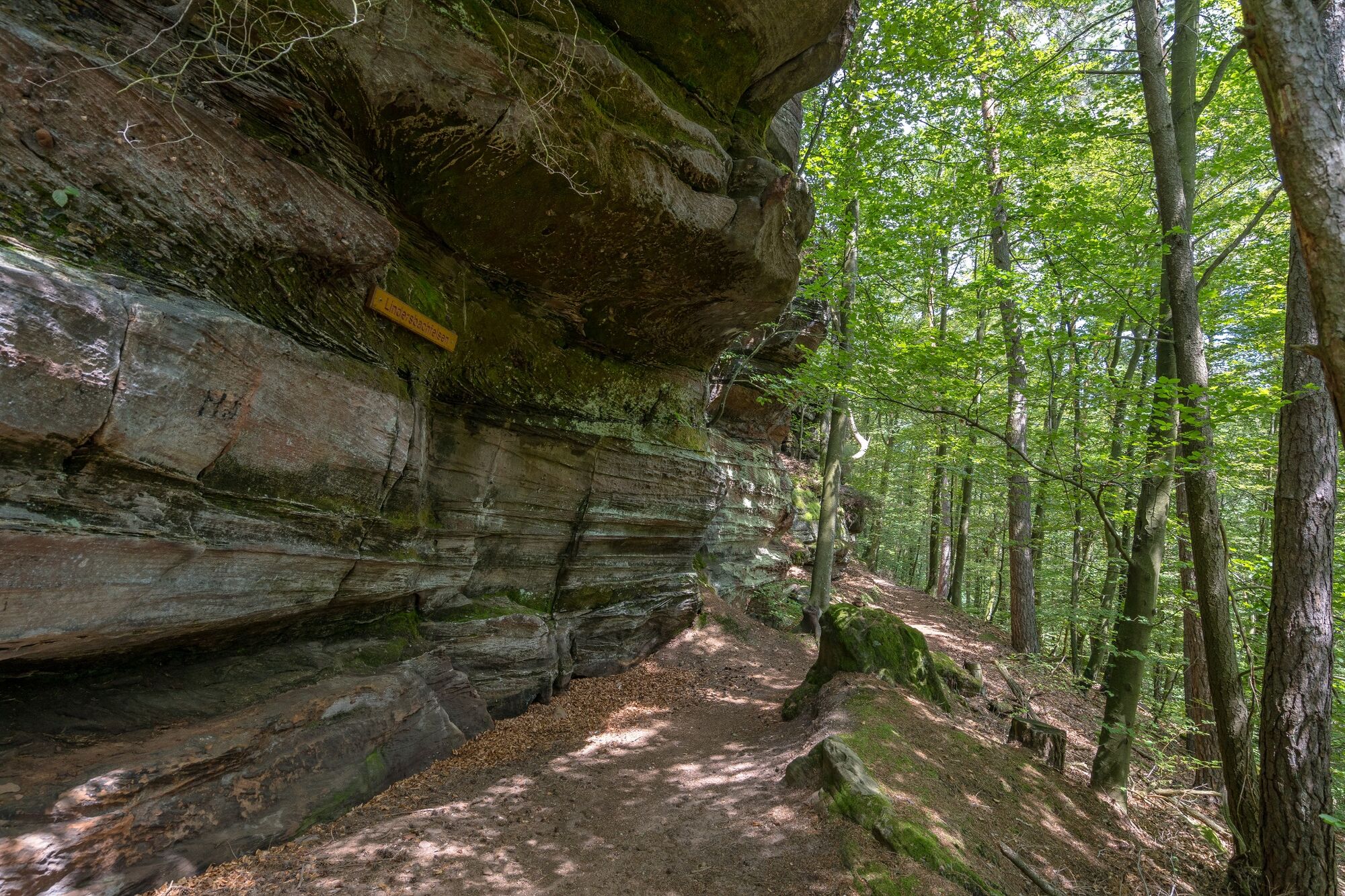
Experience the magic of the forest and rock formations on the first certified ‘Wanderbares Deutschland’ premium hiking trail, the Rodalber Felsenwanderweg. An outstanding encounter with nature!
- Difficoltà
-
difficile
- Valutazione
-
- Percorso
-
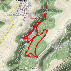
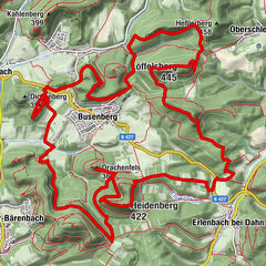
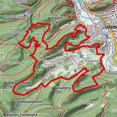
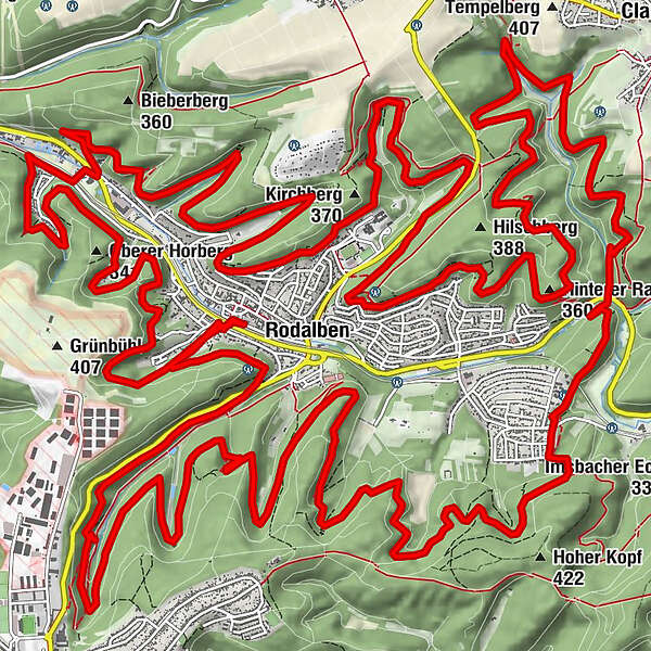
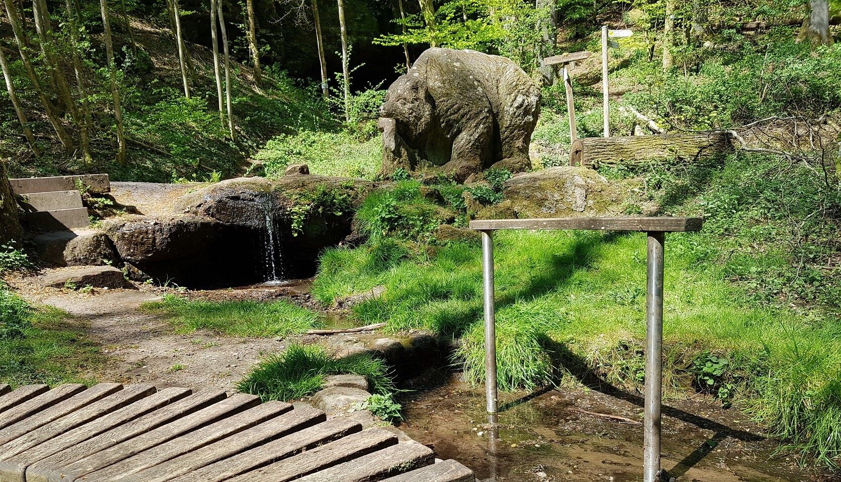
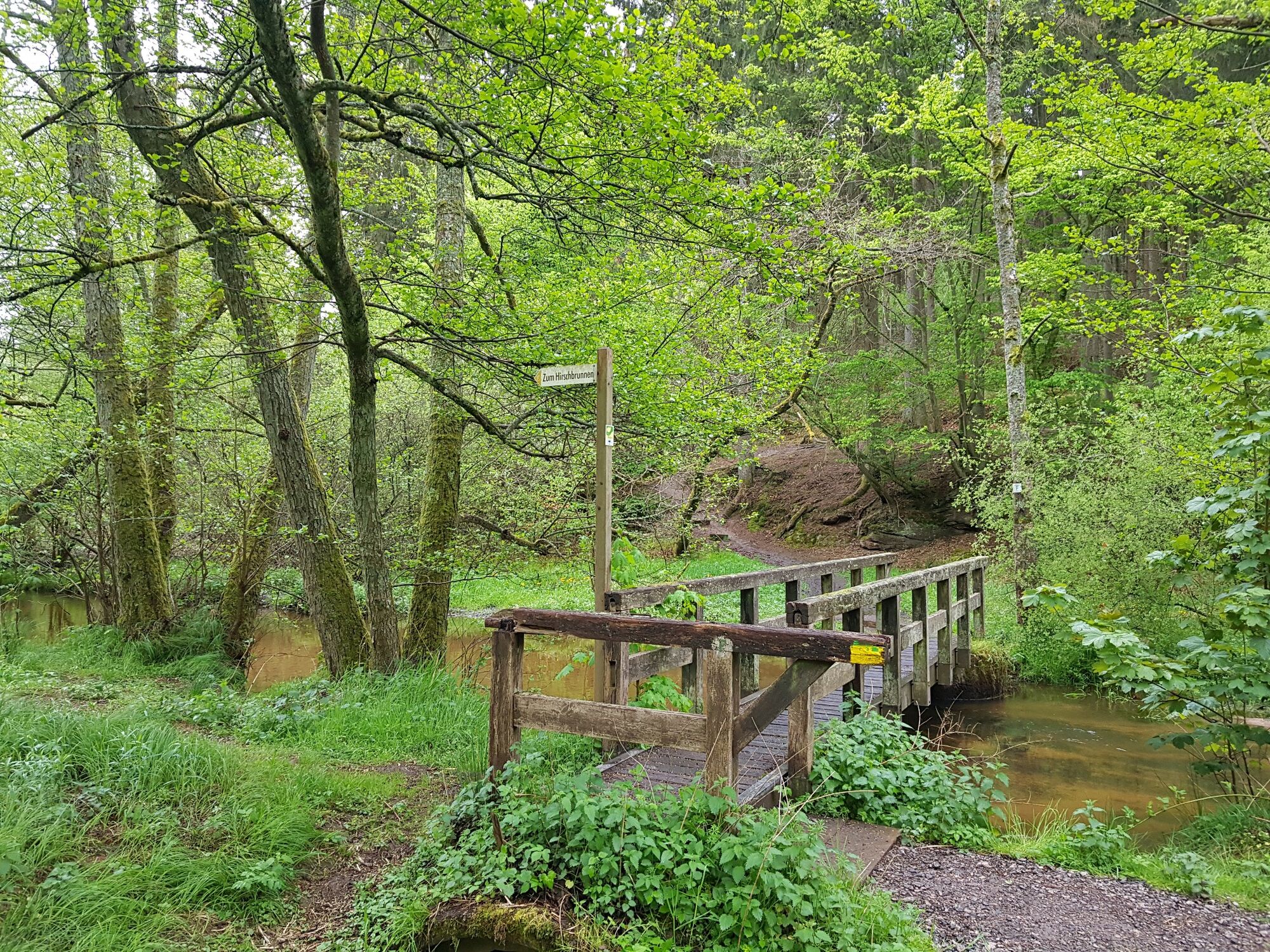
RodalbenSchlangenbrunnen0,9 kmMühlkopf (341 m)7,4 kmOsterbrunnen9,4 kmHodental9,6 kmKlosterbrunnen10,9 kmSt. Pirminius12,1 kmRodalben12,6 kmGeißendelle14,2 kmAbbrunnen15,7 kmAm Haweracker16,0 kmHilschberghaus17,0 kmRodalben17,1 kmSaufelsen18,3 kmZigeunerbrunnen21,9 kmIm Hessel22,3 kmWiesentalquelle23,7 kmEisenbörnchen24,1 kmWiesental,Wldgehege24,3 kmHirschbrunnen26,9 kmHanauisches Eck (313 m)27,6 kmHungerpfuhlquelle30,9 kmGermersbrunnen32,6 kmRodalben33,9 kmSommerwaldquelle38,5 kmPirmasens39,2 kmBärenhöhle39,7 kmObere Bärenhöhle39,8 kmBärenhöhle39,8 kmUntere Bärenhöhle39,9 kmBärenhalde40,7 kmRodalben42,0 kmBaumbusch42,4 km
- La stagione migliore
-
genfebmaraprmaggiulugagosetottnovdic
- Punto più alto
- 382 m
- Destinazione
-
Starting point (see above).
- Profilo altimetrico
-
 © outdooractive.com


- Autore
-
Il tour Rodalber Felsenwanderweg è utilizzato da outdooractive.com fornito.
GPS Downloads


Info generali
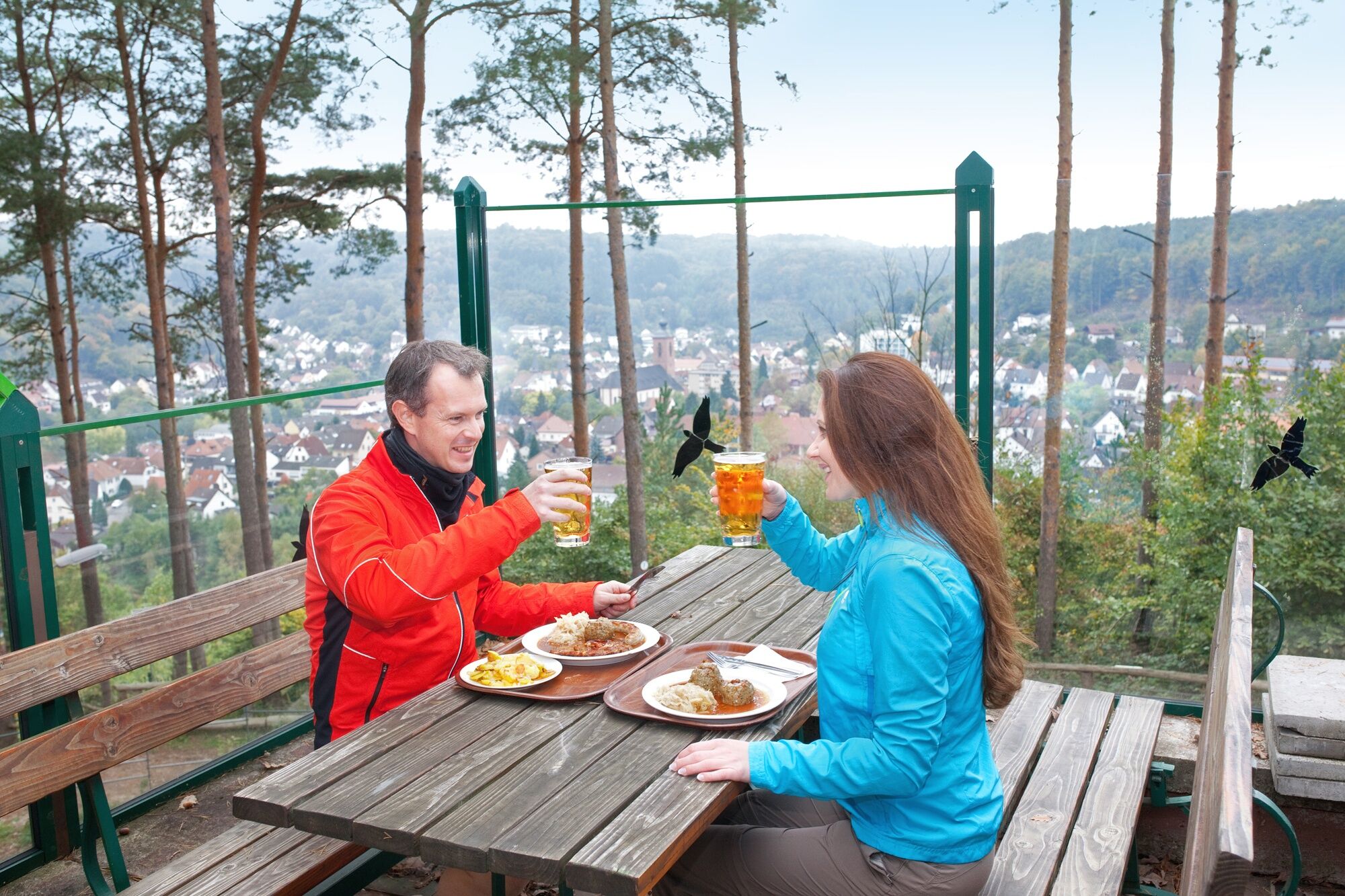
Punto di ristoro
Culturale/Storico
Suggerimento
Flora
Fauna
Promettente
Altri tour nelle regioni
-
Pfalz
1512
-
Pfälzerwald
1046