© Rheinhessen-Touristik GmbH - DAV Sektion Mainz

© Rheinhessen-Touristik GmbH - DAV Mainz

© Rheinhessen-Touristik GmbH - DAV Mainz

© Rheinhessen-Touristik GmbH - Alfons Kalteier, DAV Sektion Mainz

© Rheinhessen-Touristik GmbH - Alfons Kalteier, DAV Sektion Mainz

© Rheinhessen-Touristik GmbH - Alfons Kalteier, DAV Sektion Mainz

© Rheinhessen-Touristik GmbH - Daniel Schmidt

© Rheinhessen-Touristik GmbH - Alfons Kalteier, DAV Sektion Mainz

© Rheinhessen-Touristik GmbH - Alfons Kalteier, DAV Sektion Mainz

- Descrizione rapida
-
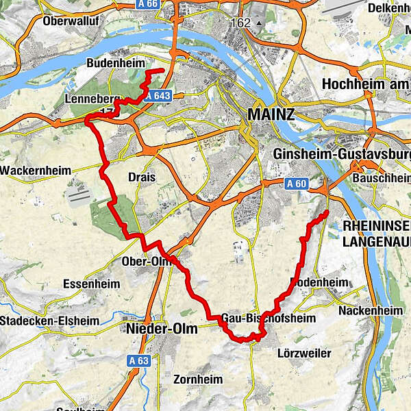
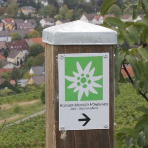
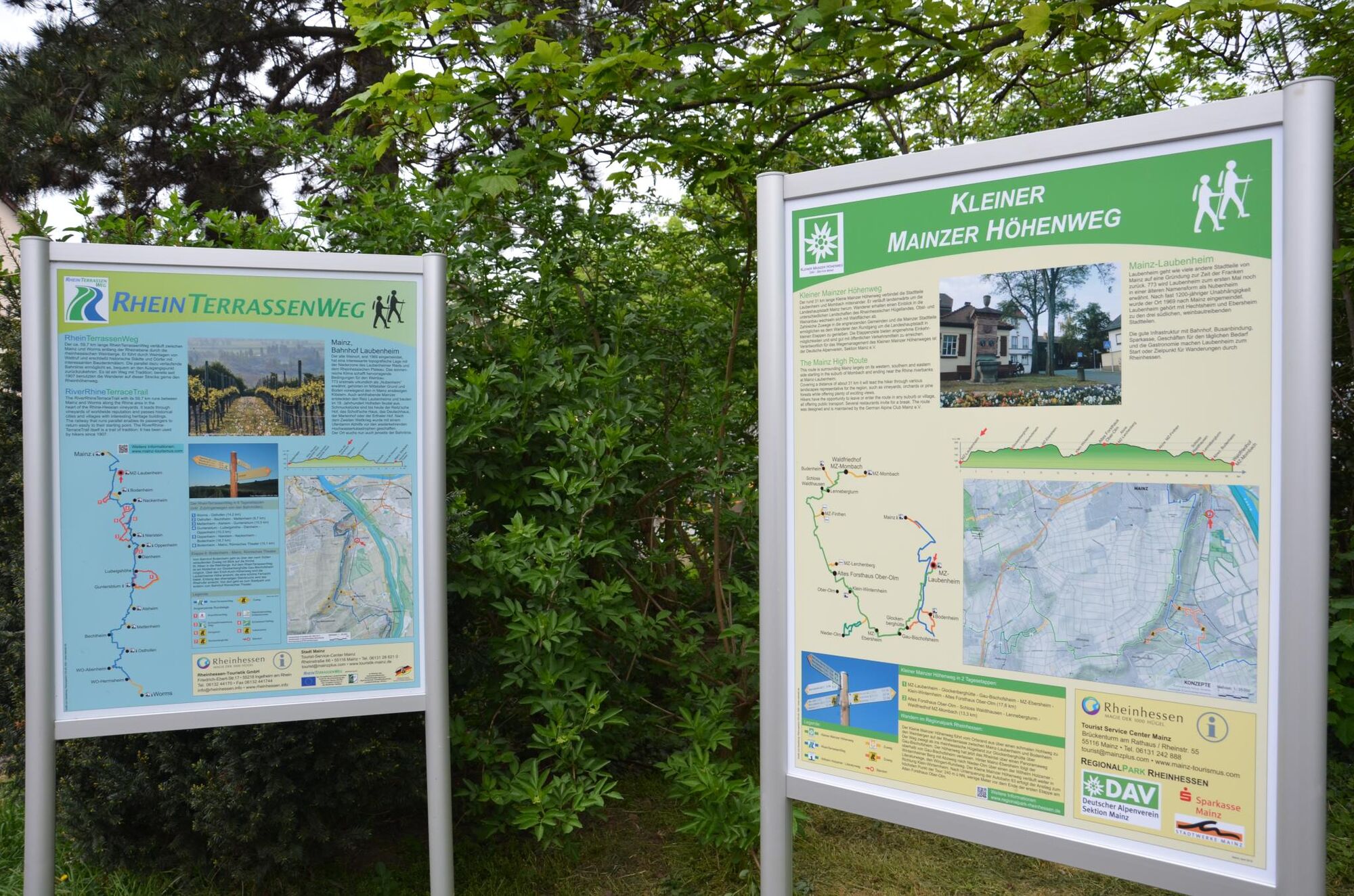
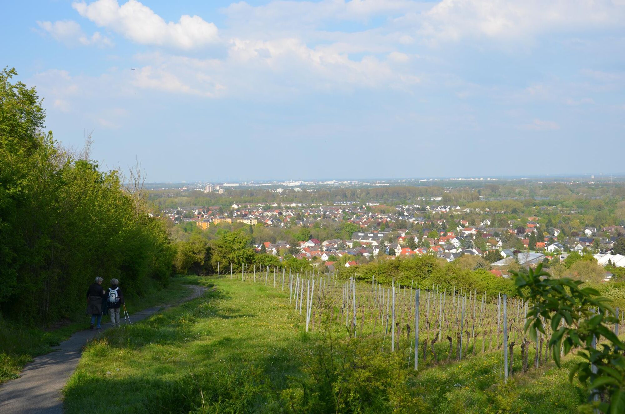
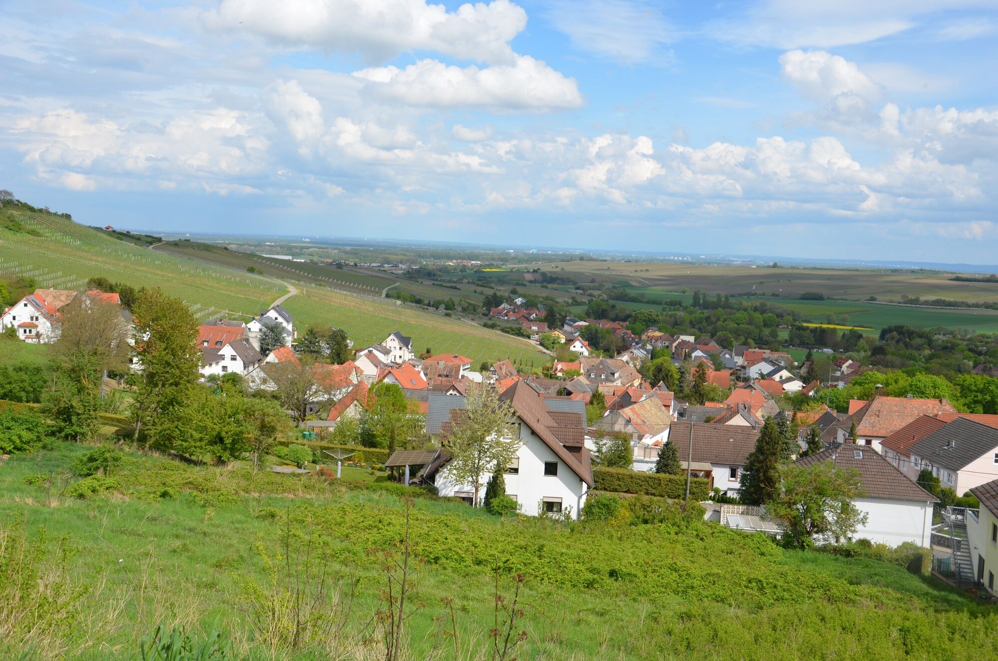
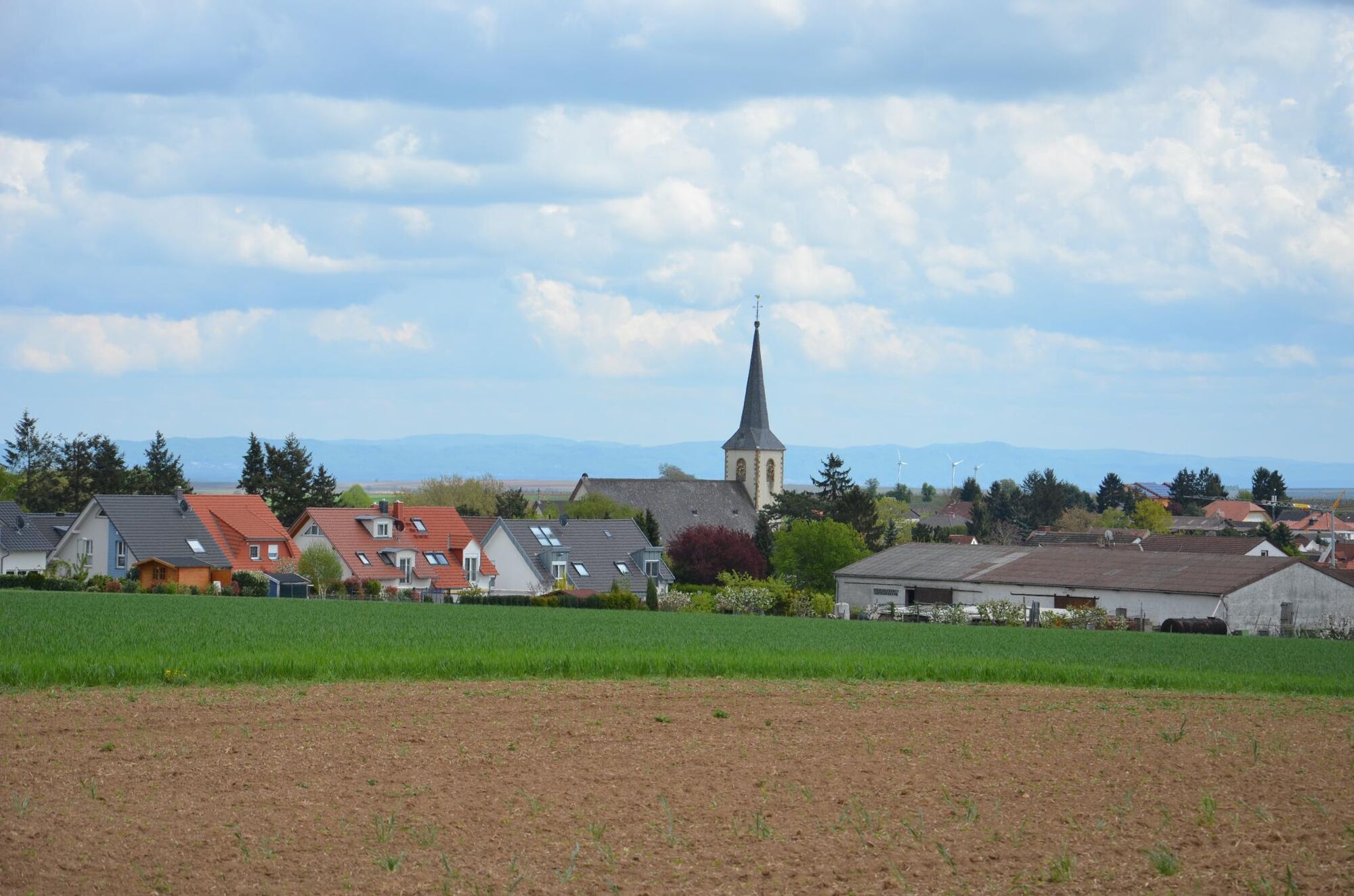
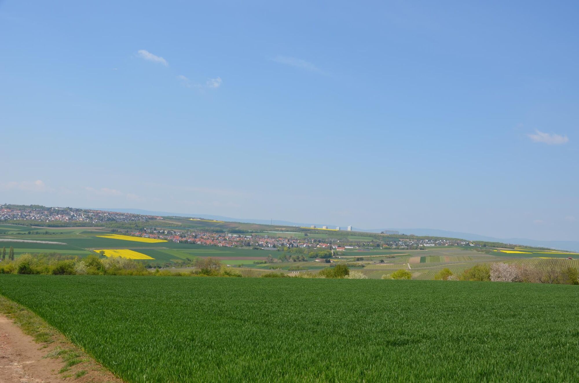
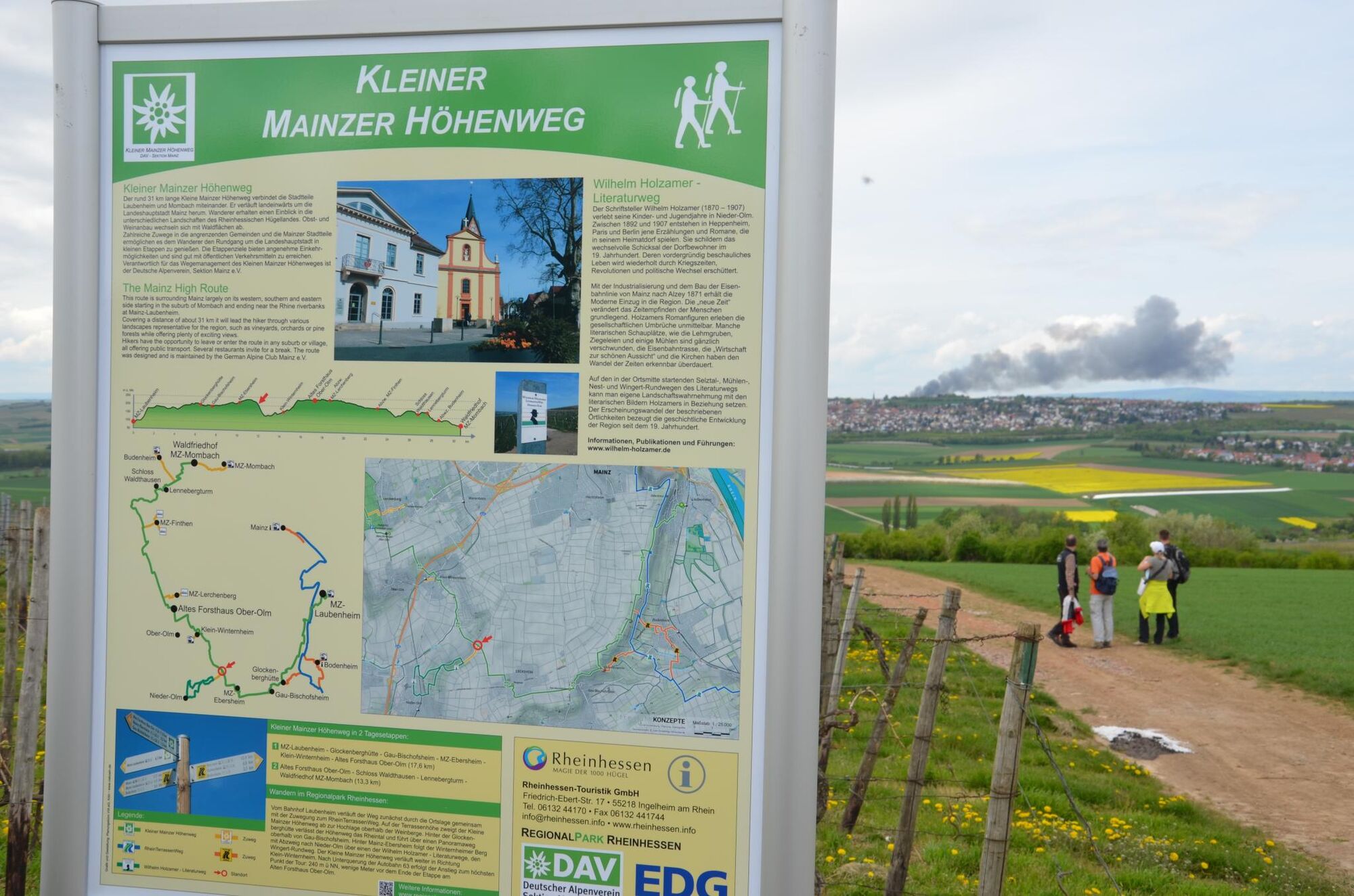
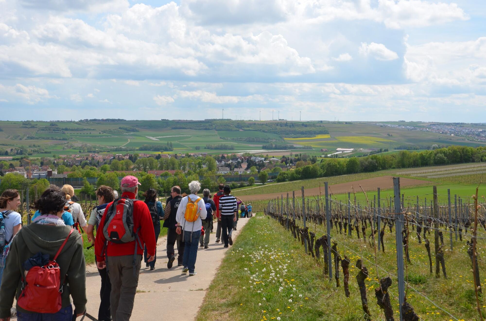
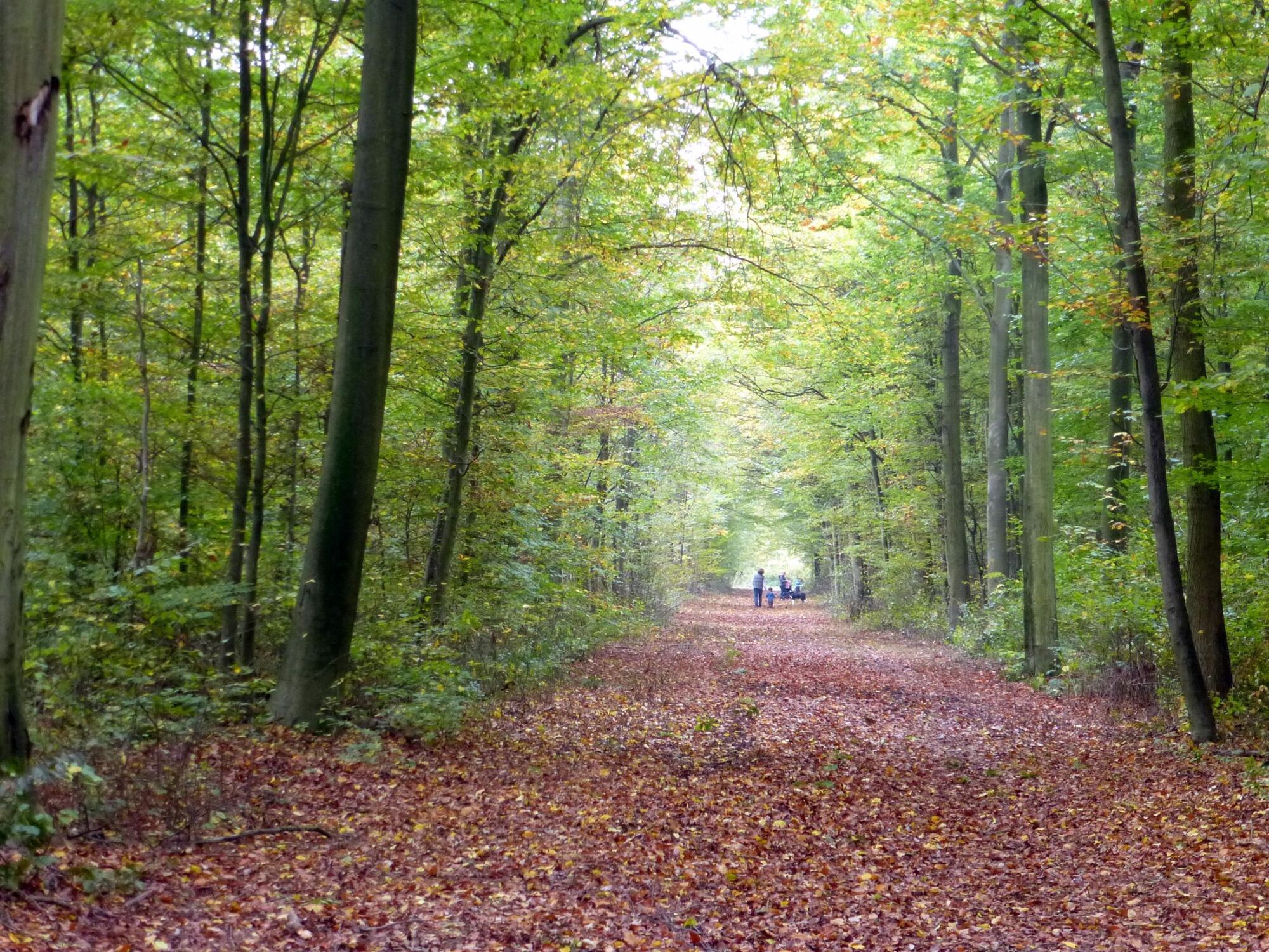
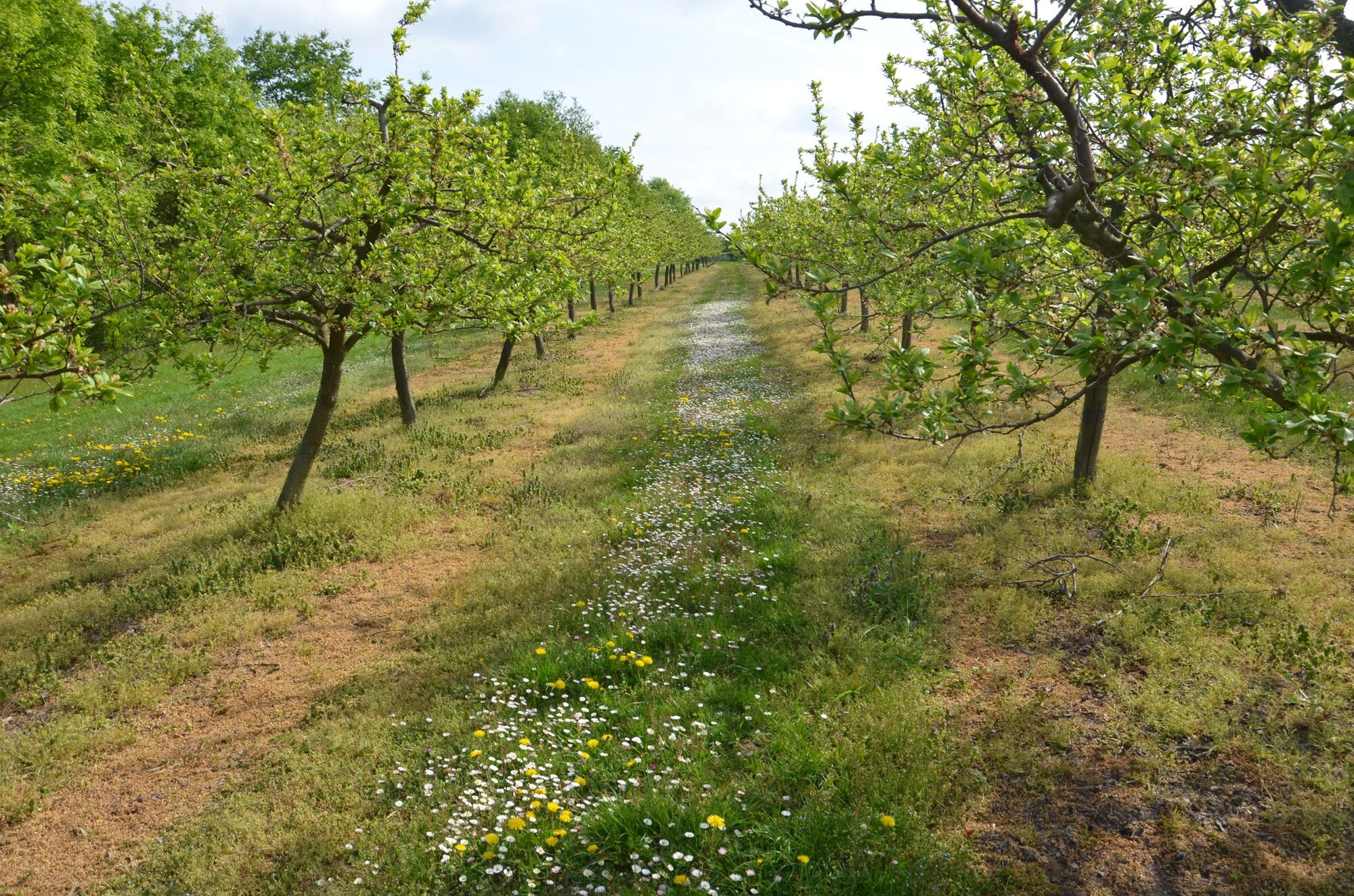
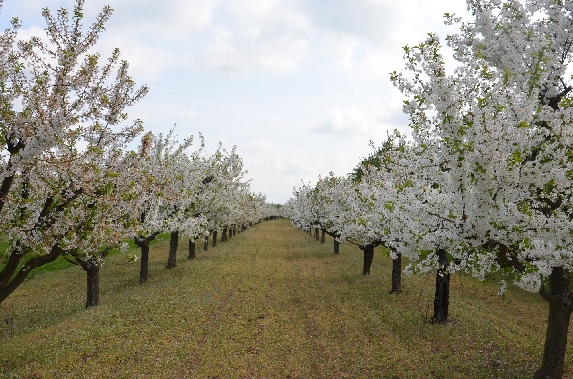
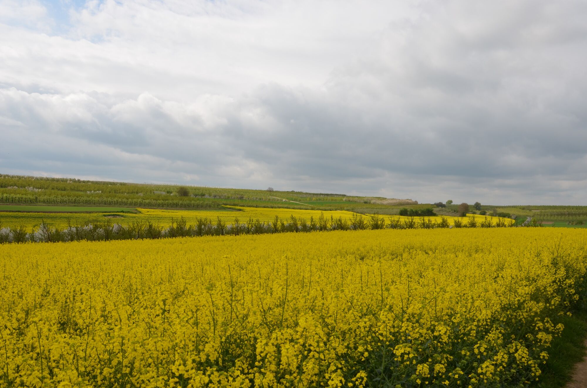
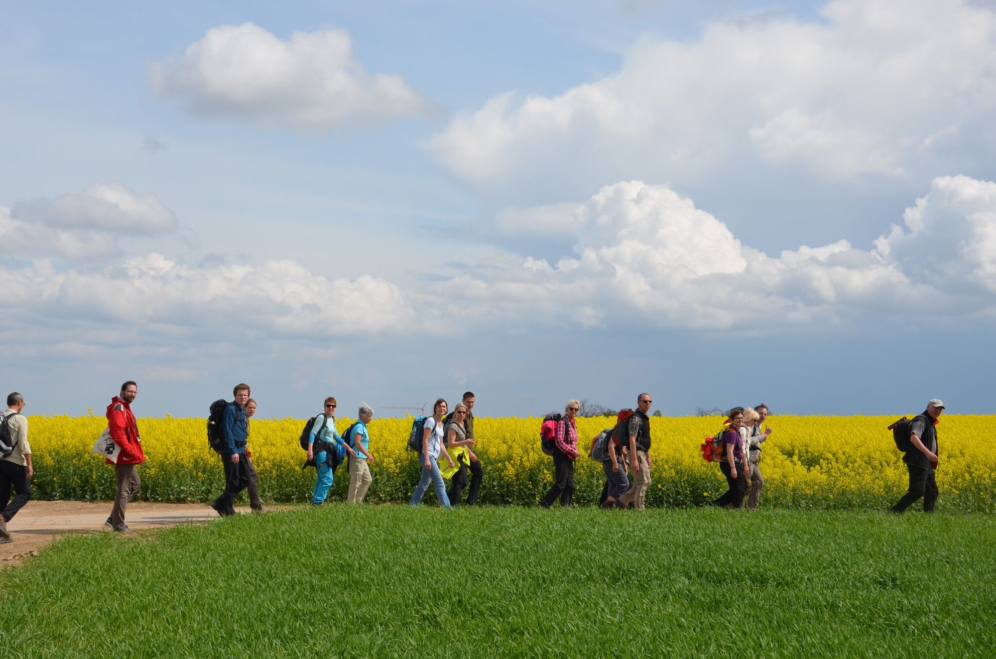
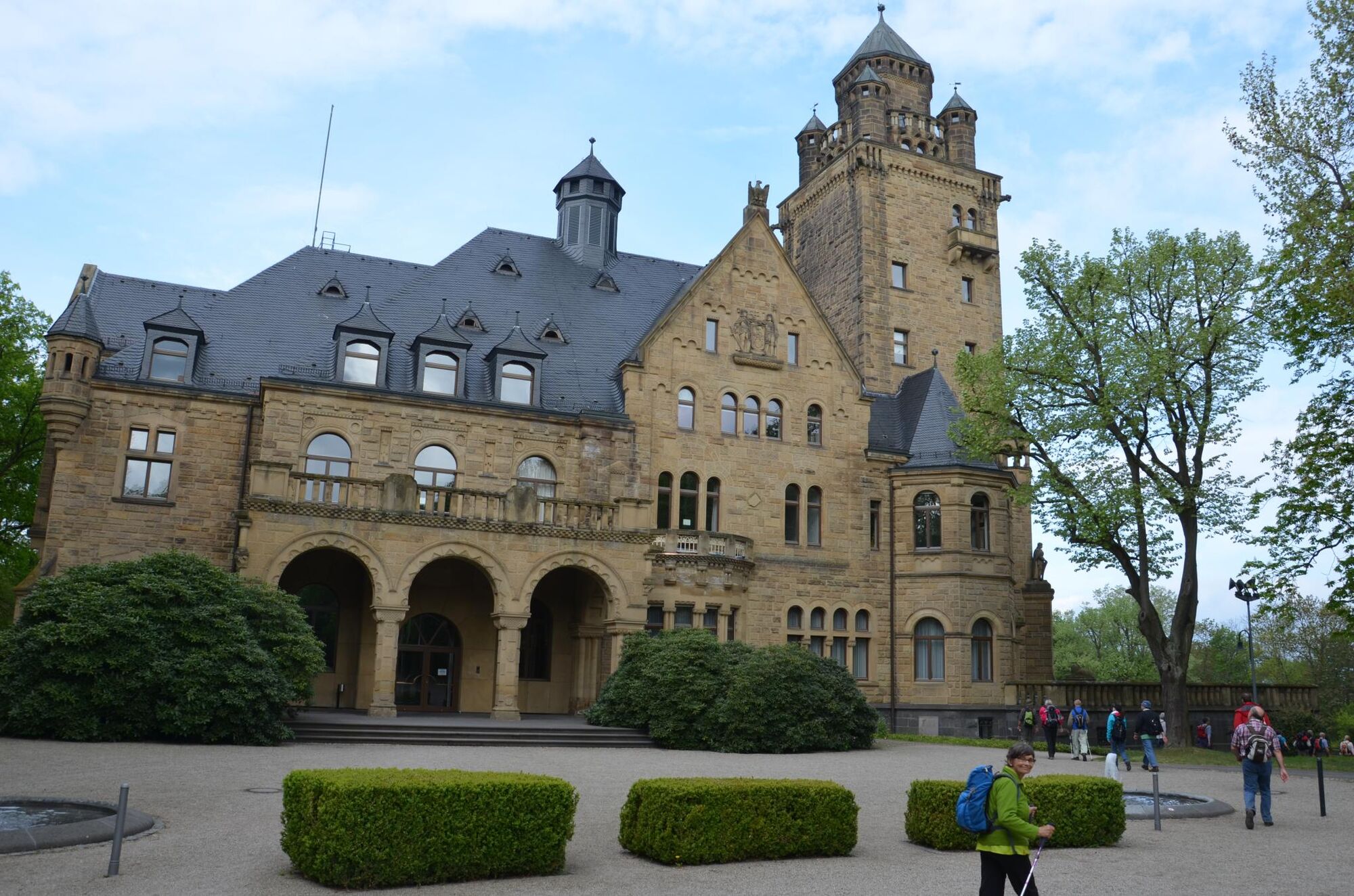
On this tour you will get to know the city Mainz and the region "Rheinhessen" with its fantastic views. There are a lot of information boards along the hiking route to find further information about the region, tour stages and sections as well as sights.
- Difficoltà
-
intermedio
- Valutazione
-
- Percorso
-
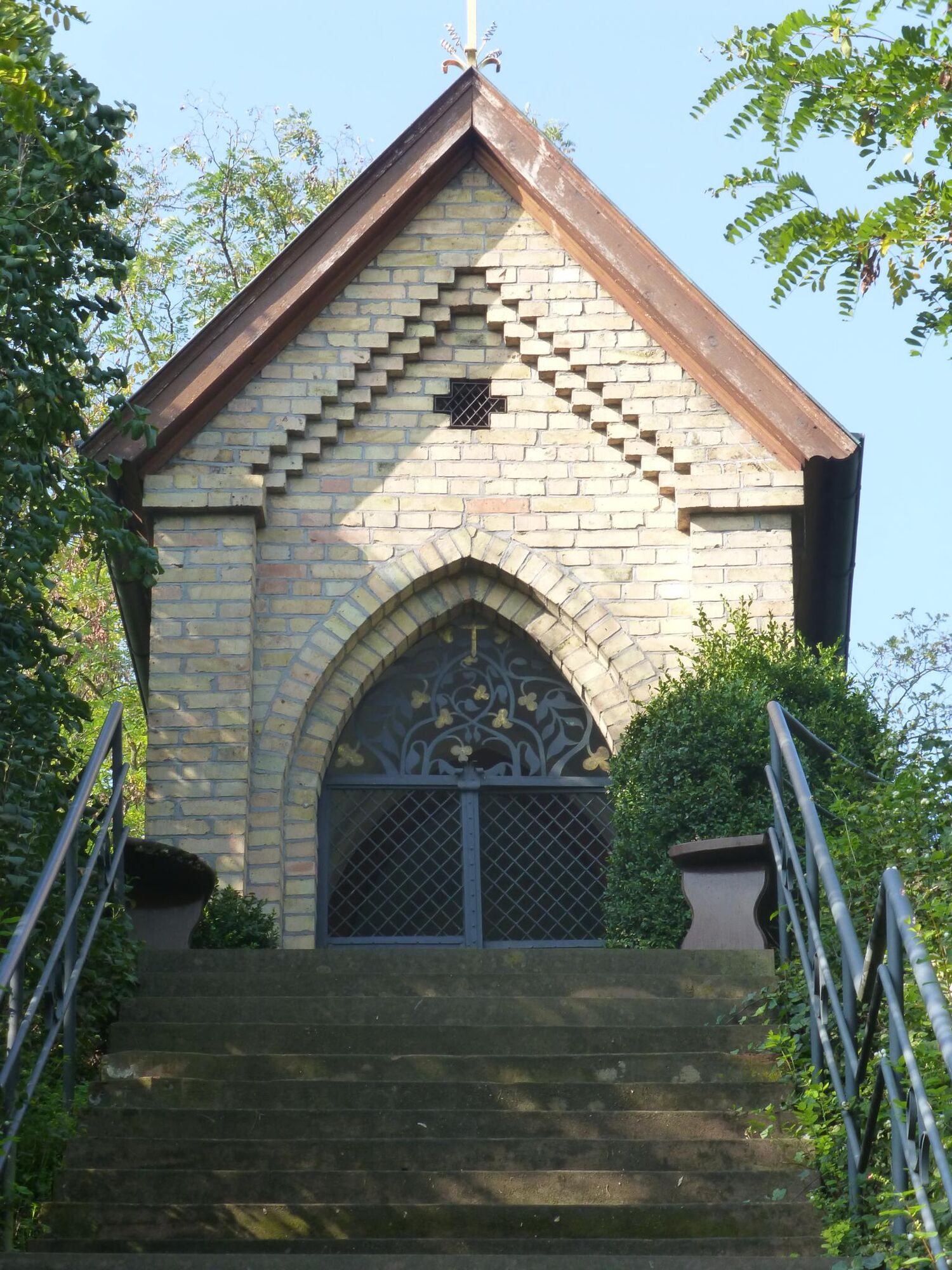
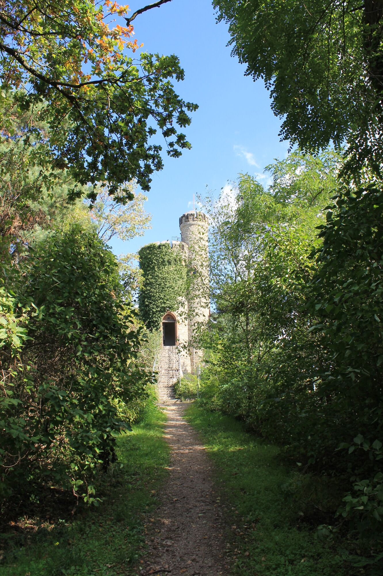
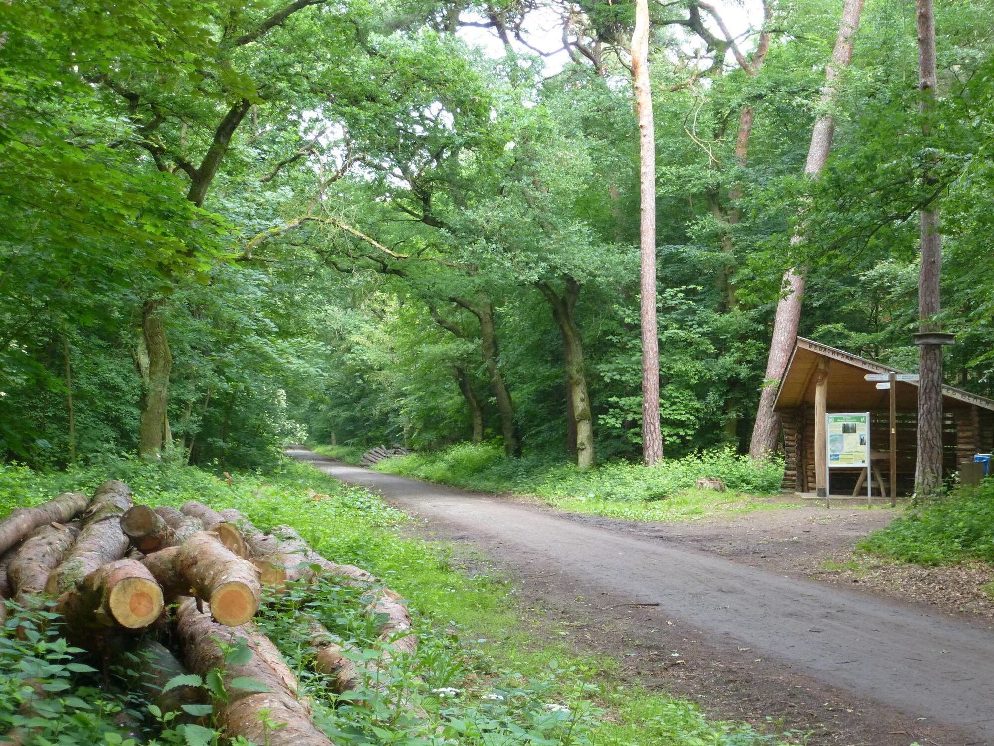
LaubenheimBodenheimer Hoch4,0 kmGauberg (212 m)5,9 kmGau-Bischofsheimer Fenster6,9 kmGau-Bischofsheim7,8 kmMarienkapelle7,8 kmWeinbergskapelle8,3 kmHarxheim8,6 kmSchlossbergturm9,3 kmEbersheim11,8 kmPizzeria Trattoria Da Rocco11,8 kmSankt Laurentius11,9 kmEvangelische Kirche16,3 kmKlein-Winternheim16,3 kmSt. Andreas16,3 kmPizzeria Bella Vista16,5 kmWaldgaststätte Ober-Olm18,7 kmDer Münchwald27,4 kmHinter dem Münchwald27,7 kmBernhardsborn28,6 kmCafé & Restaurant Am Turm30,1 kmLenneberg (176 m)30,3 km
- La stagione migliore
-
genfebmaraprmaggiulugagosetottnovdic
- Punto più alto
- 239 m
- Destinazione
-
End: Bus station Mombach Waldfriedhof
- Profilo altimetrico
-
 © outdooractive.com
-

-
AutoreIl tour Hiking Tour "Kleiner Mainzer Höhenweg" è utilizzato da outdooractive.com fornito.
GPS Downloads


Info generali
Punto di ristoro
Culturale/Storico
Promettente
Altri tour nelle regioni
-
Rheinhessen
866
-
Mainz
319
-
Walluf
142