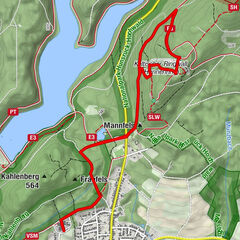
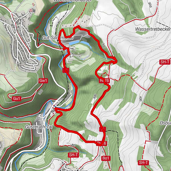
RuT6 near Sommerau - History of use in the Ruwer Valley

Sentiero tematico

© Tourist-Information Ruwer - Eike Bock

© Tourist-Information Ruwer - Eike Bock

© Tourist-Information Ruwer - Eike Bock

© Unbekannt

© Mosel. Faszination Urlaub - Touristinformation Ruwer
- Descrizione rapida
-
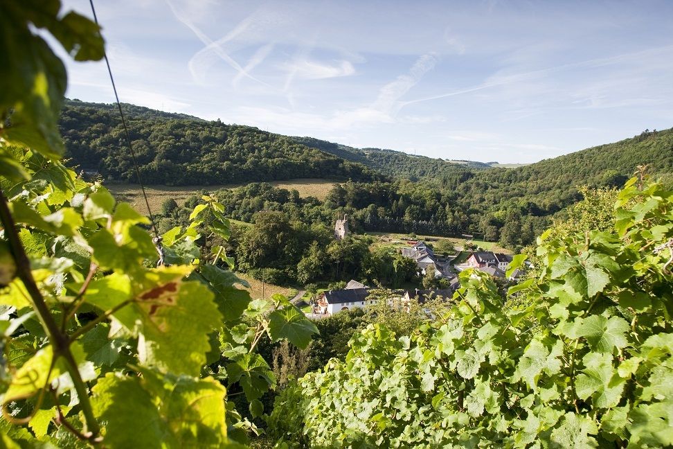
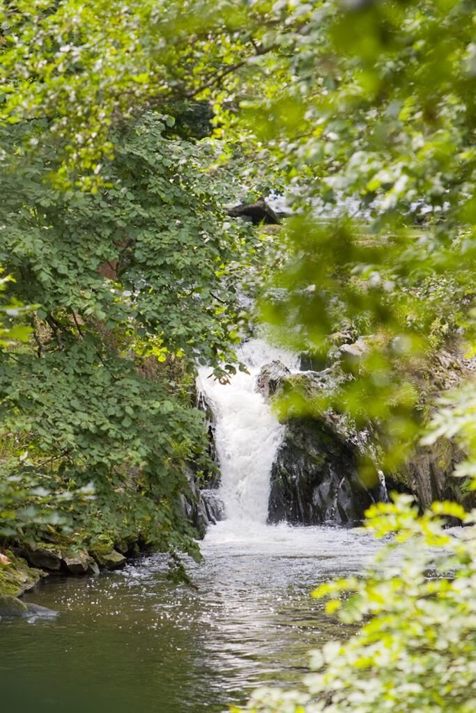
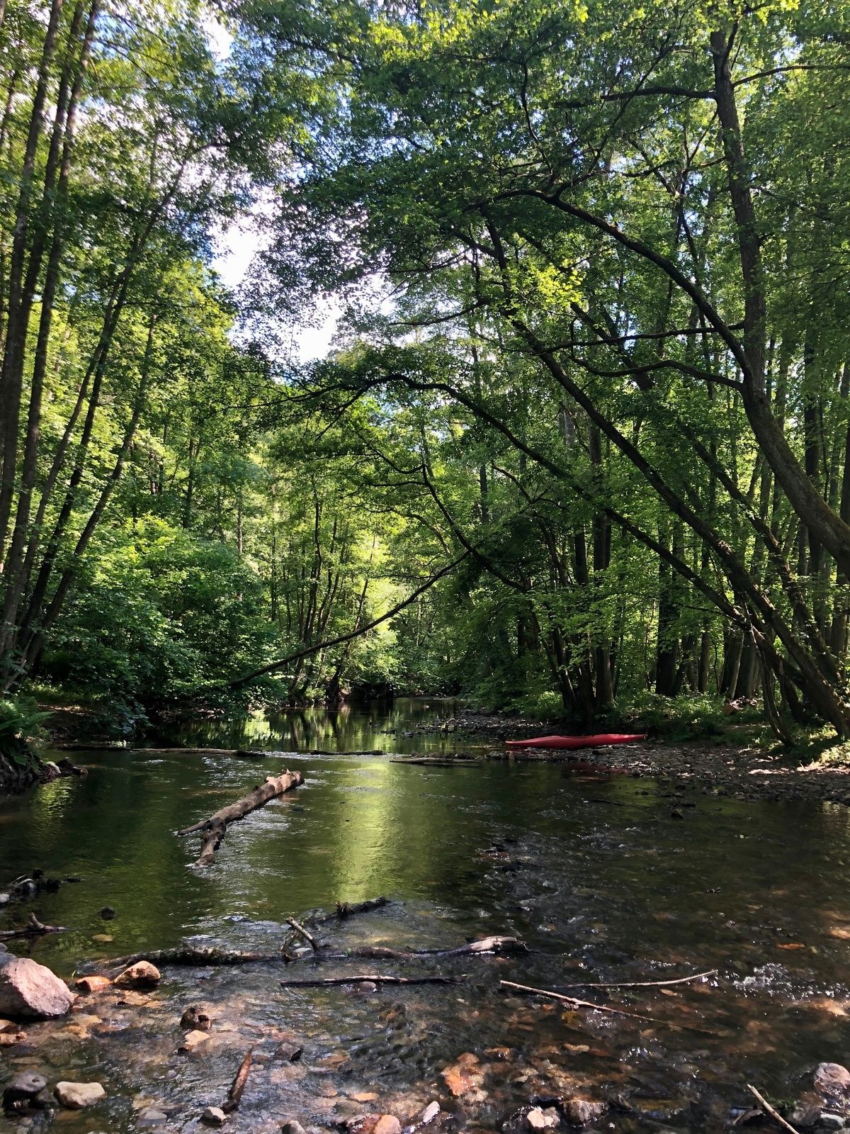
This varied theme trail near Sommerau deals with the history of use in the Ruwer valley and was realised as part of the Ruwer Water Project.
- Difficoltà
-
facile
- Valutazione
-
- Percorso
-
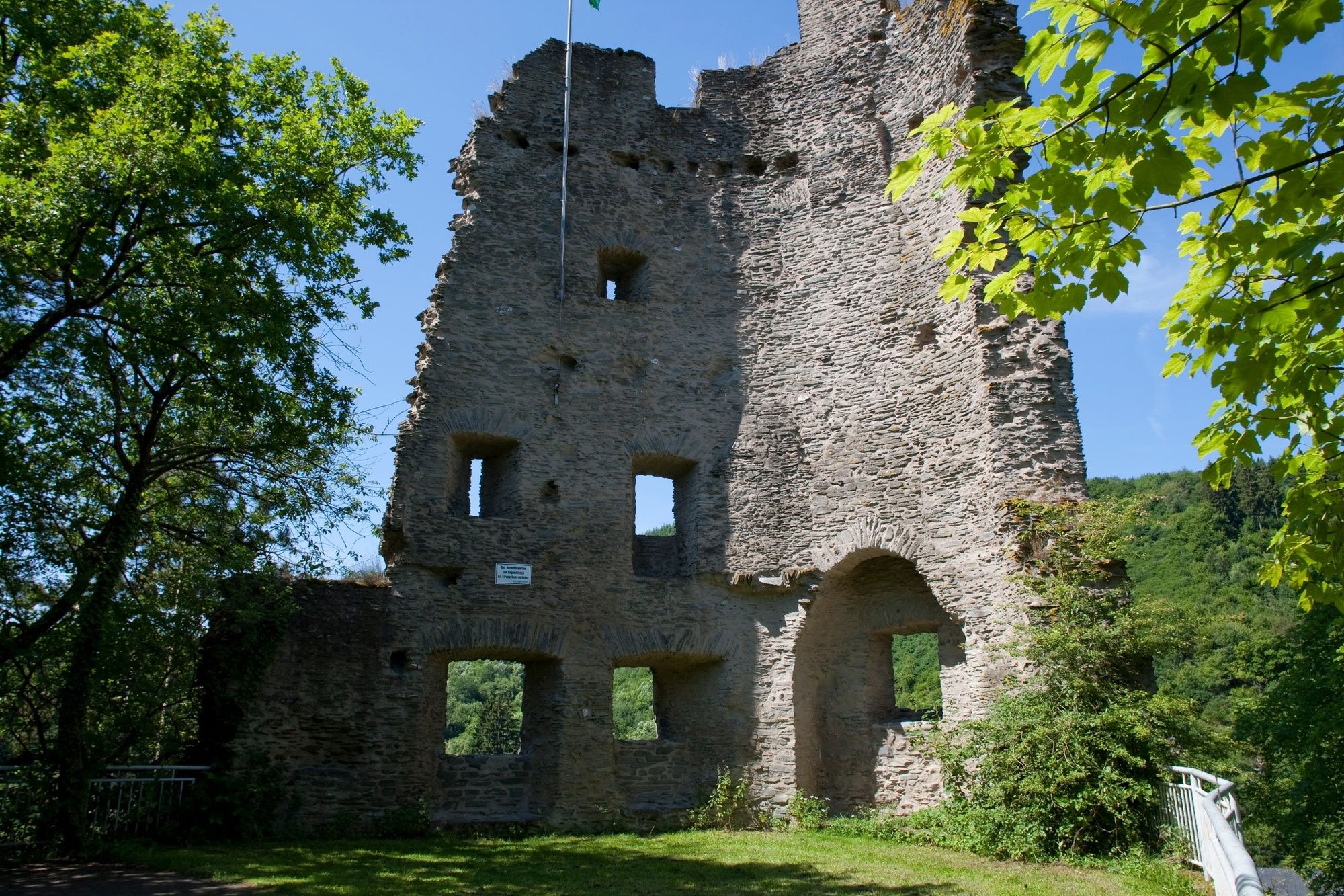
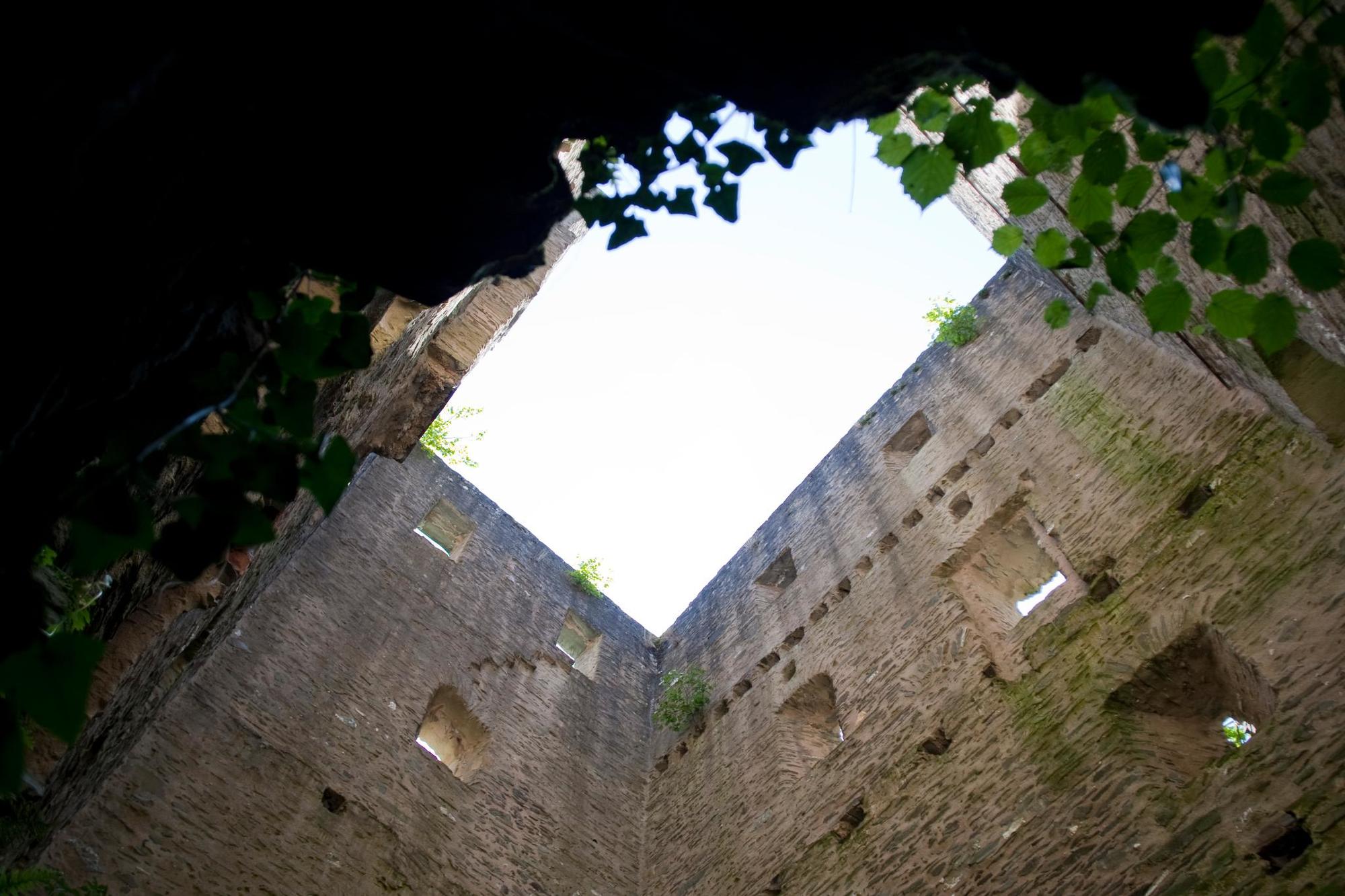
Sommerau0,0 kmRistorante Italiano im Gut Sommerau0,1 kmLonzenburg3,6 kmGasthaus Reh4,5 kmWasserfälle der Ruwer5,6 kmSommerau5,8 km
- La stagione migliore
-
genfebmaraprmaggiulugagosetottnovdic
- Punto più alto
- 341 m
- Destinazione
-
Sommerau, car park at the end of the village on the right. GPS: N 49° 42.960' E 6° 44.125'
- Profilo altimetrico
-
 © outdooractive.com
-

-
AutoreIl tour RuT6 near Sommerau - History of use in the Ruwer Valley è utilizzato da outdooractive.com fornito.
GPS Downloads


Info generali
Punto di ristoro
Culturale/Storico
Flora
Fauna
Promettente
Altri tour nelle regioni
-
Mosel-Saar
1078
-
Ruwertal & Hochwald
477
-
Waldrach
130