© Verein Südliche Weinstrasse Annweiler am Trifels e.V. - Wohlrabe Quadronet

© Verein SÜW Annweiler e.V., Dominik Ketz - Dominik Ketz


© Verein SÜW Annweiler e.V., Dominik Ketz - Dominik Ketz

© Verein Südliche Weinstrasse Annweiler am Trifels e.V. - Dominik Ketz

© Verein Südliche Weinstrasse Annweiler am Trifels e.V. - Wohlrabe Quadronet

© Verein Südliche Weinstrasse Annweiler am Trifels e.V. - Christina Abele Verein Südliche Weinstrasse Annweiler am Trifels e.V.

© Verein Südliche Weinstrasse Annweiler am Trifels e.V. - Christina Abele Verein Südliche Weinstrasse Annweiler am Trifels e.V.

© Verein Südliche Weinstrasse Annweiler am Trifels e.V. - Christina Abele Verein Südliche Weinstrasse Annweiler am Trifels e.V.

© Verein Südliche Weinstrasse Annweiler am Trifels e.V. - Christina Abele

- Descrizione rapida
-
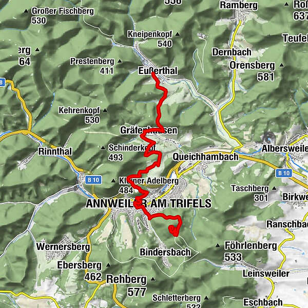
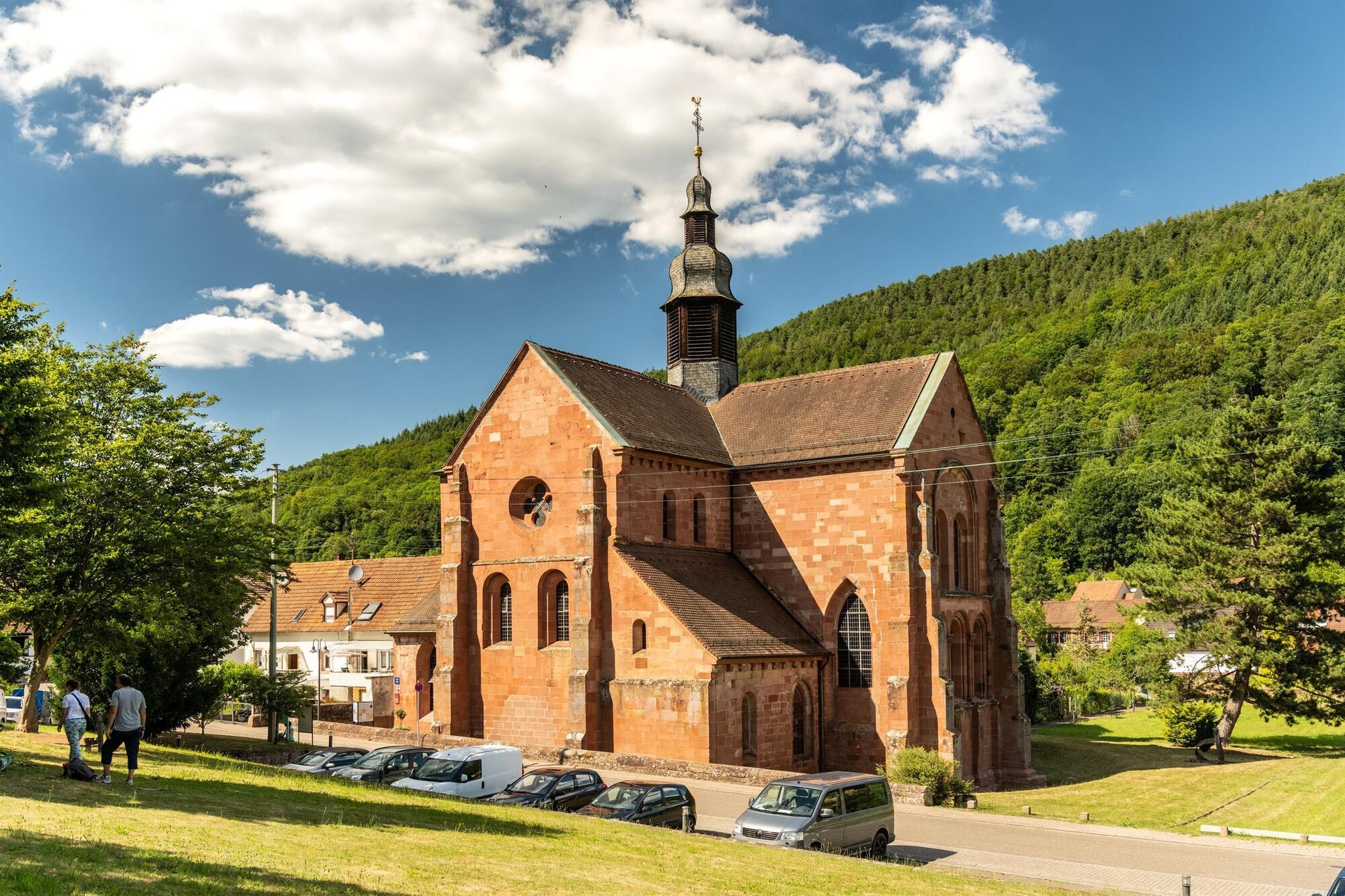
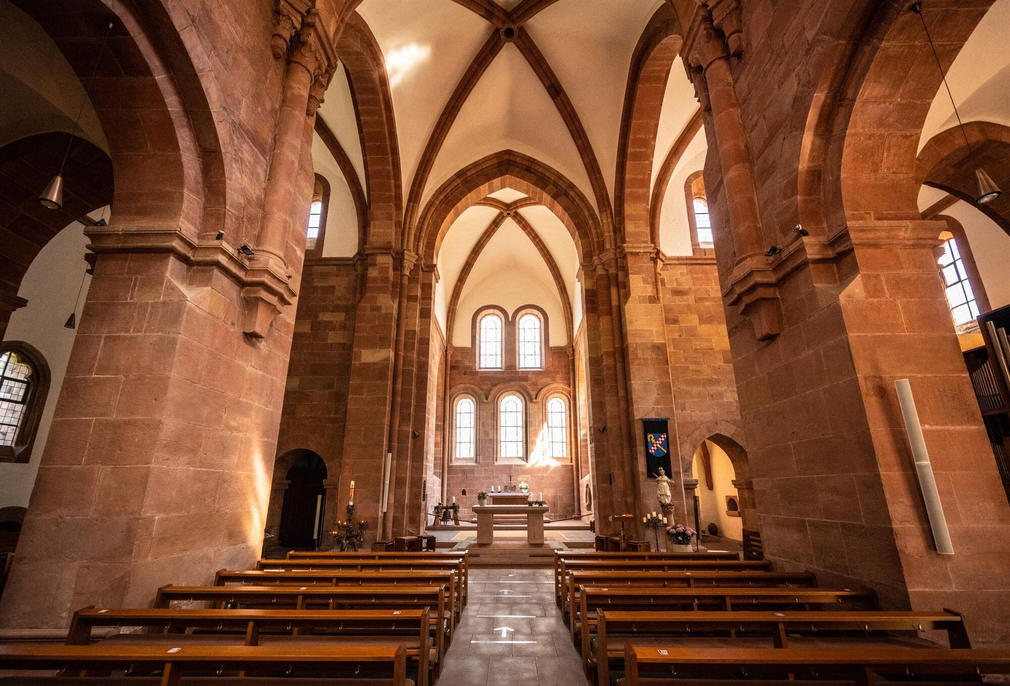
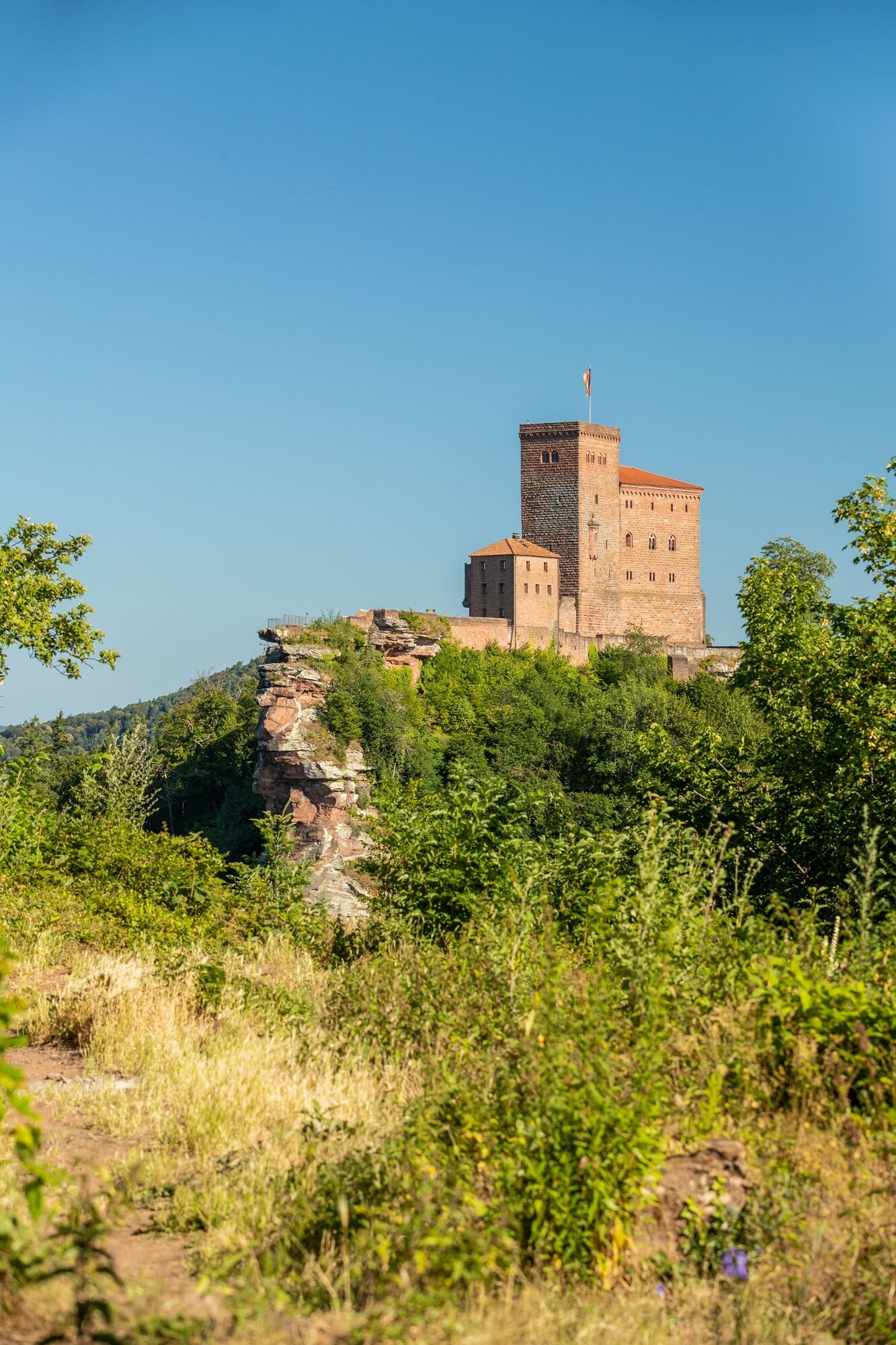
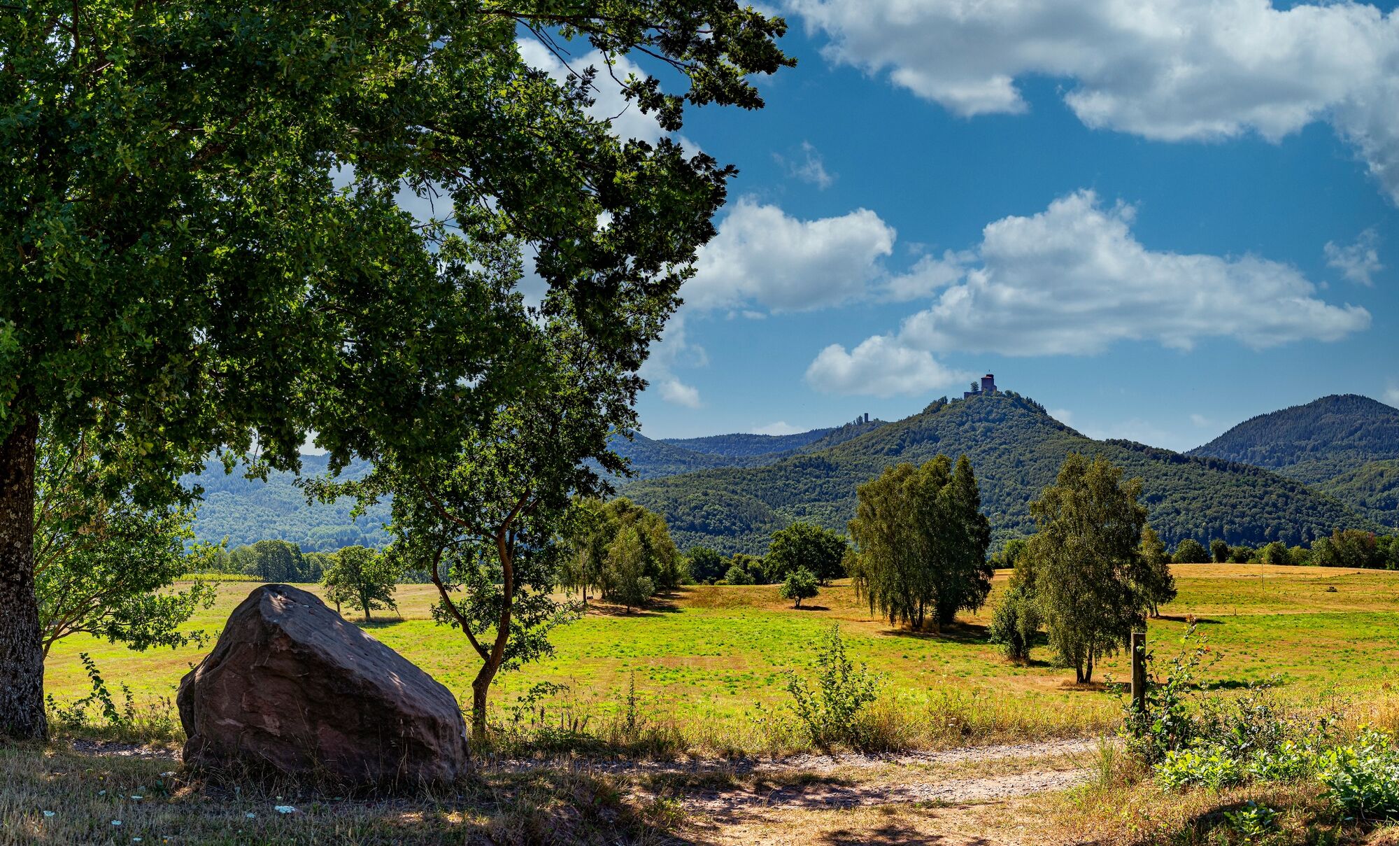
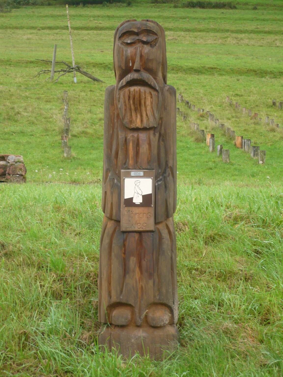
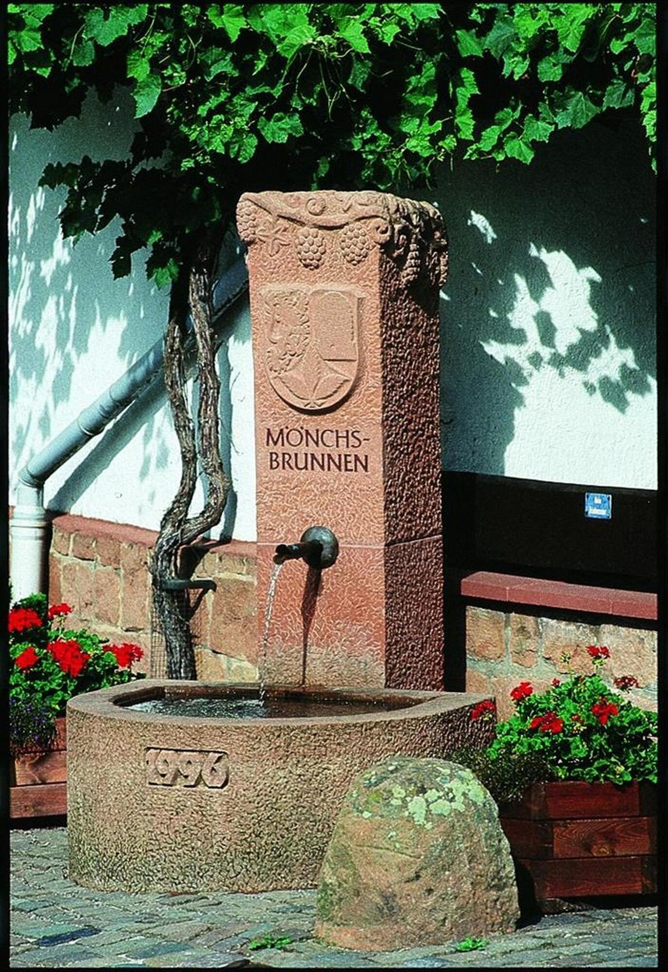
The historic hiking trail follows in the footsteps of the monks between the Cistercian monastery in Eußerthal, the town church in Annweiler am Trifels and Trifels Castle.
- Difficoltà
-
difficile
- Valutazione
-
- Percorso
-
Cistercian Monastery Church of St. Bernhard EußerthalEußerthal0,0 kmGräfenhausen2,7 kmDanziger Brunnen6,2 kmSt. Josef7,9 kmStadtkirche8,3 kmAnnweiler am Trifels (179 m)8,7 kmBarbarossa10,8 kmSonnenberg (Wasgau) (497 m)11,6 km
- La stagione migliore
-
genfebmaraprmaggiulugagosetottnovdic
- Punto più alto
- 441 m
- Destinazione
-
Trifels Castle (Trifelsstraße, 76855 Annweiler am Trifels)
- Profilo altimetrico
-
 © outdooractive.com


-

-
AutoreIl tour Mönchsweg è utilizzato da outdooractive.com fornito.
GPS Downloads


Info generali
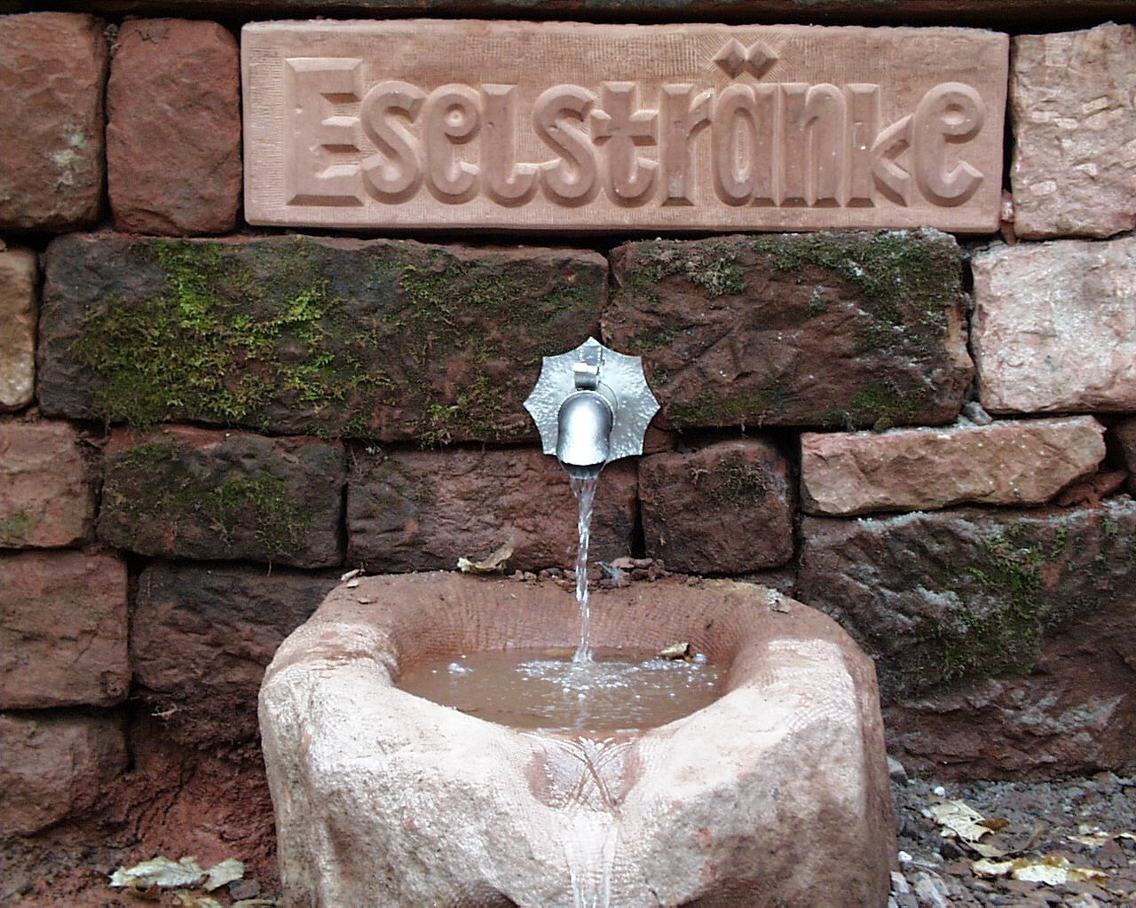
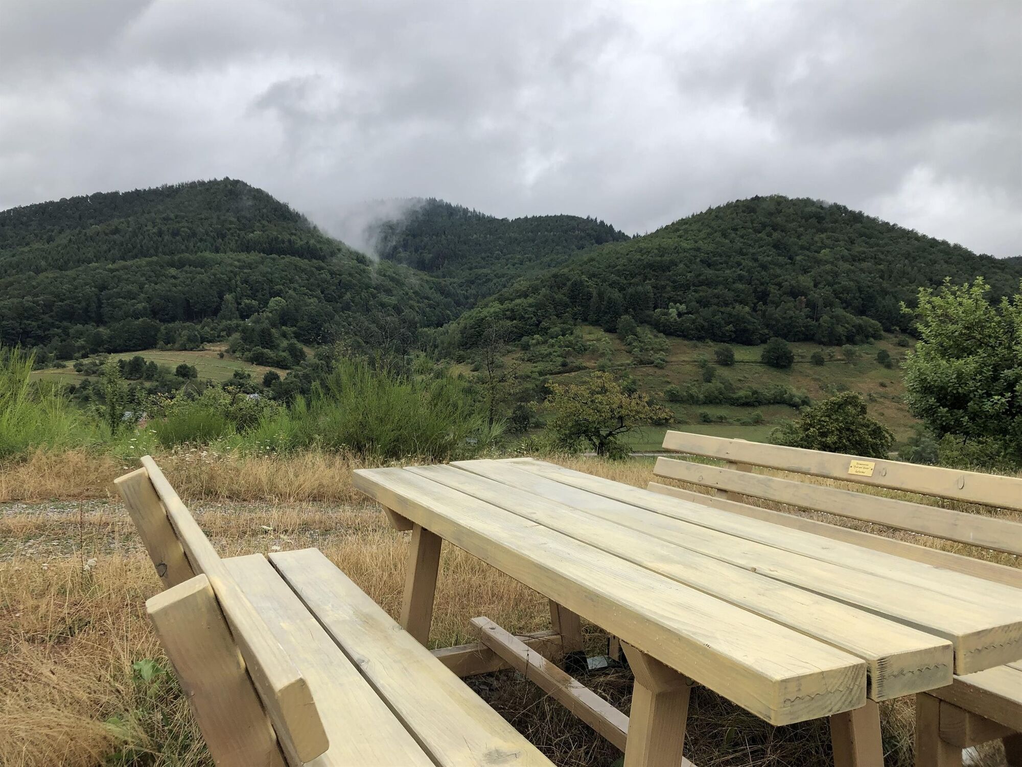
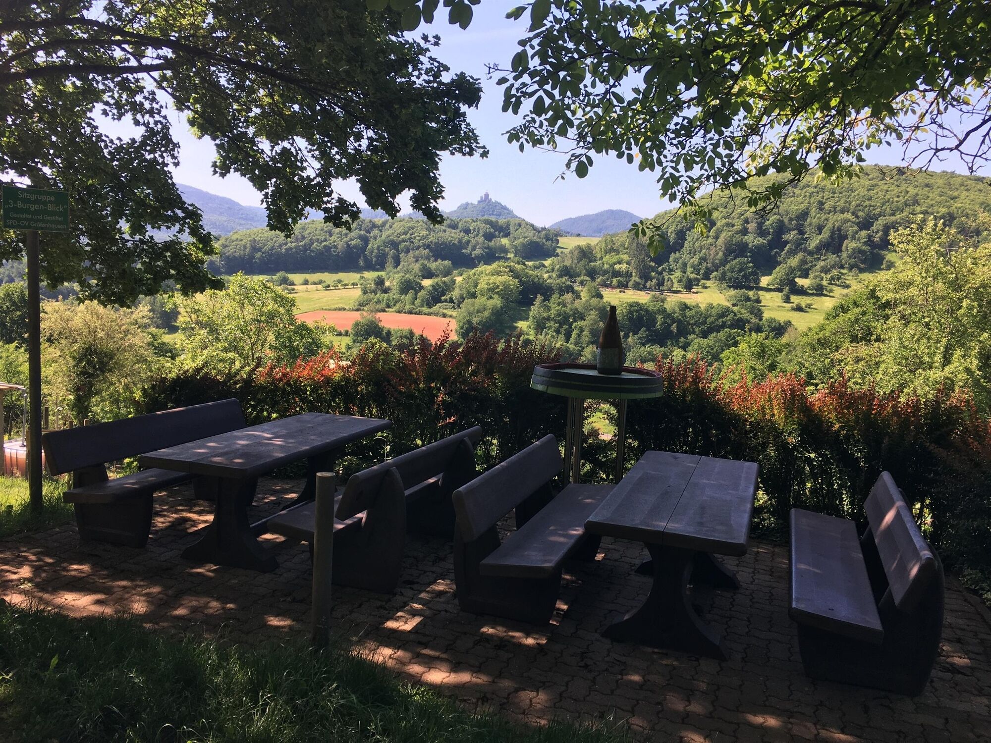
Punto di ristoro
Culturale/Storico
Promettente
Altri tour nelle regioni
-
Pfalz
1512
-
Trifelsland
1061
-
Landau in der Pfalz
391