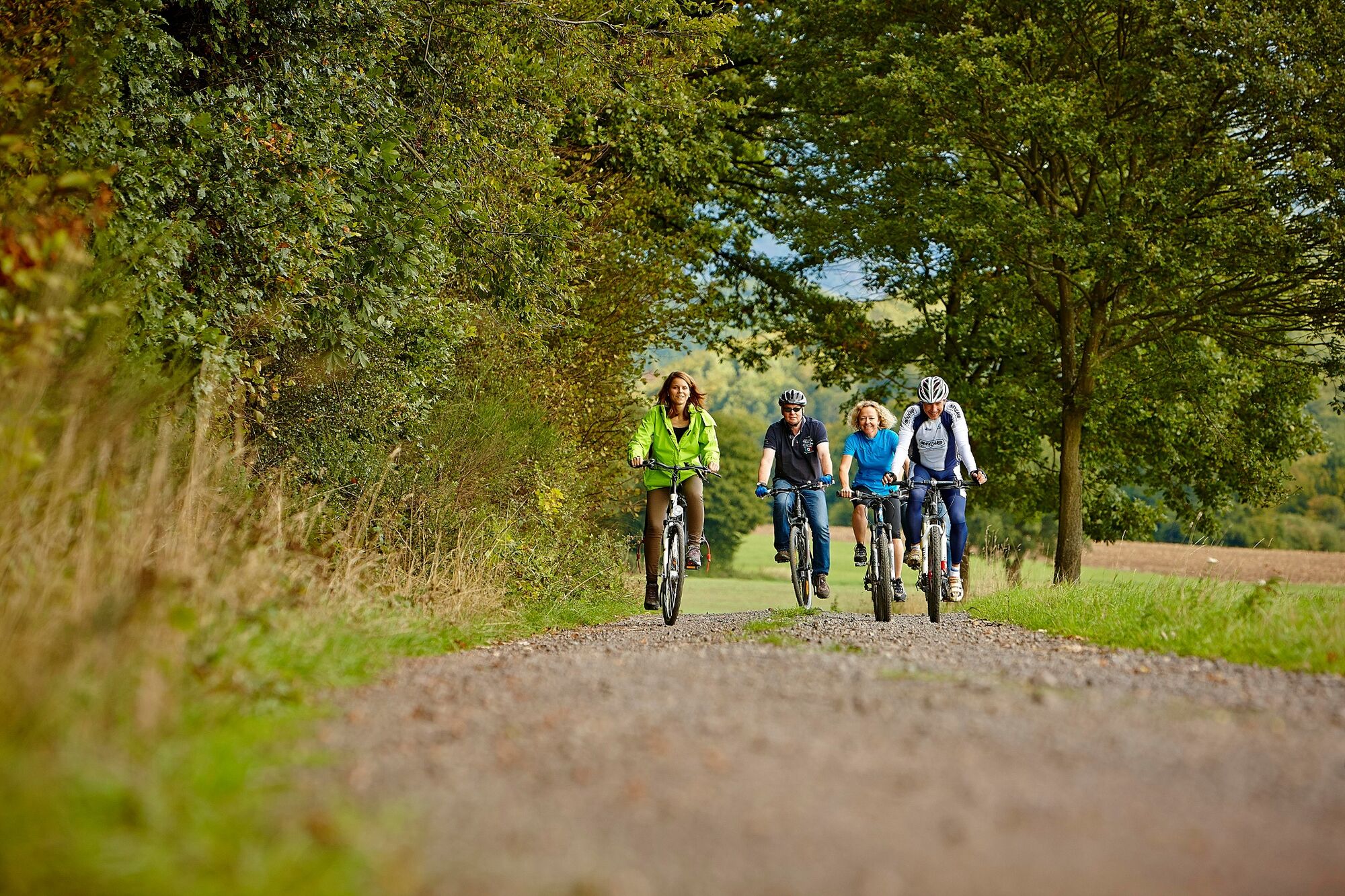
© Verbandsgemeinde Rhein-Mosel / Tourismus - Marco Rothbrust
Dati percorsi
10,92km
70
- 429m
287hm
21hm
03:01h

- Descrizione rapida
-
The Aspelbach Valley is a real nature experience for both cyclists and hikers and is one of the ten Stoppomat routes.
The route is suitable for families and includes beautiful and well-maintained hiking trails. It is asphalted throughout and well signposted.
- Percorso
-
Niederfell0,0 kmLinkemühle0,5 kmPfaffenheck10,3 kmSt. Nikolaus10,7 km
- Punto più alto
- 429 m
- Destinazione
-
Pfaffenheck
- Profilo altimetrico
-
 © outdooractive.com
-

-
AutoreVerbandsgemeinde Rhein-Mosel / TourismusIl tour Aspelbachtal è utilizzato da outdooractive.com fornito.
GPS Downloads


Altri tour nelle regioni
-
Romantischer Rhein
1041
-
Sonnige Untermosel
618
-
Rhein-Mosel
156