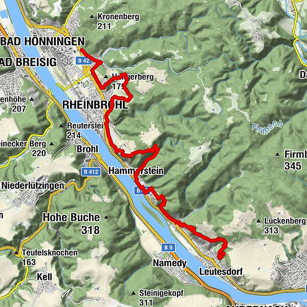
Rheinsteig Stage 17: Leutesdorf - Bad Hönningen (South - North)


© Romantischer Rhein Tourismus GmbH - Henry Tornow

© Romantischer Rhein Tourismus GmbH - Frank Gallas

© Romantischer Rhein Tourismus GmbH - Andreas Pacek

© Romantischer Rhein Tourismus GmbH - Andreas Pacek, fototour-deutschland.de

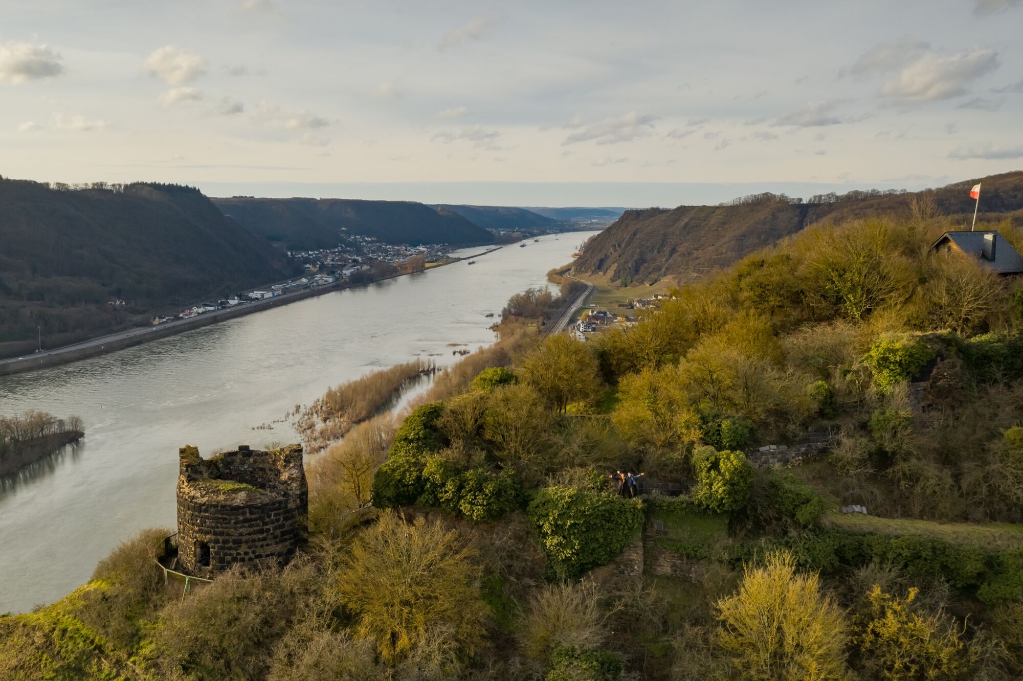
© Romantischer Rhein Tourismus GmbH - Andreas Pacek

© Romantischer Rhein Tourismus GmbH - Andreas Pacek

© Romantischer Rhein Tourismus GmbH - Henry Tornow

© Romantischer Rhein Tourismus GmbH - Henry Tornow

- Descrizione rapida
-
Time travel to Romans and knights
- Difficoltà
-
intermedio
- Valutazione
-
- Percorso
-
Andernach0,2 kmForstberg2,7 kmFilialkirche St. Katharina6,5 kmHammerstein6,6 kmRheinbrohler Ley (198 m)9,8 kmWittemhof11,2 kmRheinbrohl11,2 kmAm Grämer13,7 kmIm Erdberg14,1 kmAm Erdbergspfad14,3 kmVorn am Köpfelchen14,4 kmHinten am Köpfelchen14,5 kmArienheller15,3 km
- La stagione migliore
-
genfebmaraprmaggiulugagosetottnovdic
- Punto più alto
- 248 m
- Destinazione
-
Bad Hönningen train station
- Profilo altimetrico
-
 © outdooractive.com


- Autore
-
Il tour Rheinsteig Stage 17: Leutesdorf - Bad Hönningen (South - North) è utilizzato da outdooractive.com fornito.
Tutte le recensioni
Daniel Schulze
18. Apr. 2024
Rheinsteig Etappe 17. Leutesdorf - Bad Hönningen
Trovi utile questa recensione
Tu e 1 persona ha trovato questa recensione utile
Tu e Le persone trovano questa recensione utile
1 persona ha trovato questa recensione utile
Le persone trovano questa recensione utile
|
GPS Downloads


Info generali
Punto di ristoro
Flora
Promettente
Altri tour nelle regioni
-
Ahrtal
1260
-
Siebengebirge
708
-
Rheinbrohl
244