© Romantischer Rhein Tourismus GmbH - Marco Rothbrust

© Romantischer Rhein Tourismus GmbH - Marco Rothbrust

© Romantischer Rhein Tourismus GmbH - Marco Rothbrust

© Romantischer Rhein Tourismus GmbH - Marco Rothbrust

© Romantischer Rhein Tourismus GmbH - Marco Rothbrust

© Romantischer Rhein Tourismus GmbH - Frank Gallas

© Romantischer Rhein Tourismus GmbH - Frank Gallas

© Romantischer Rhein Tourismus GmbH - Frank Gallas

© Romantischer Rhein Tourismus GmbH - Frank Gallas

- Descrizione rapida
-
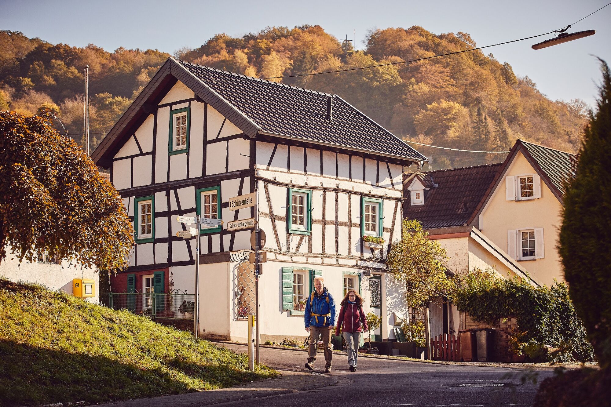
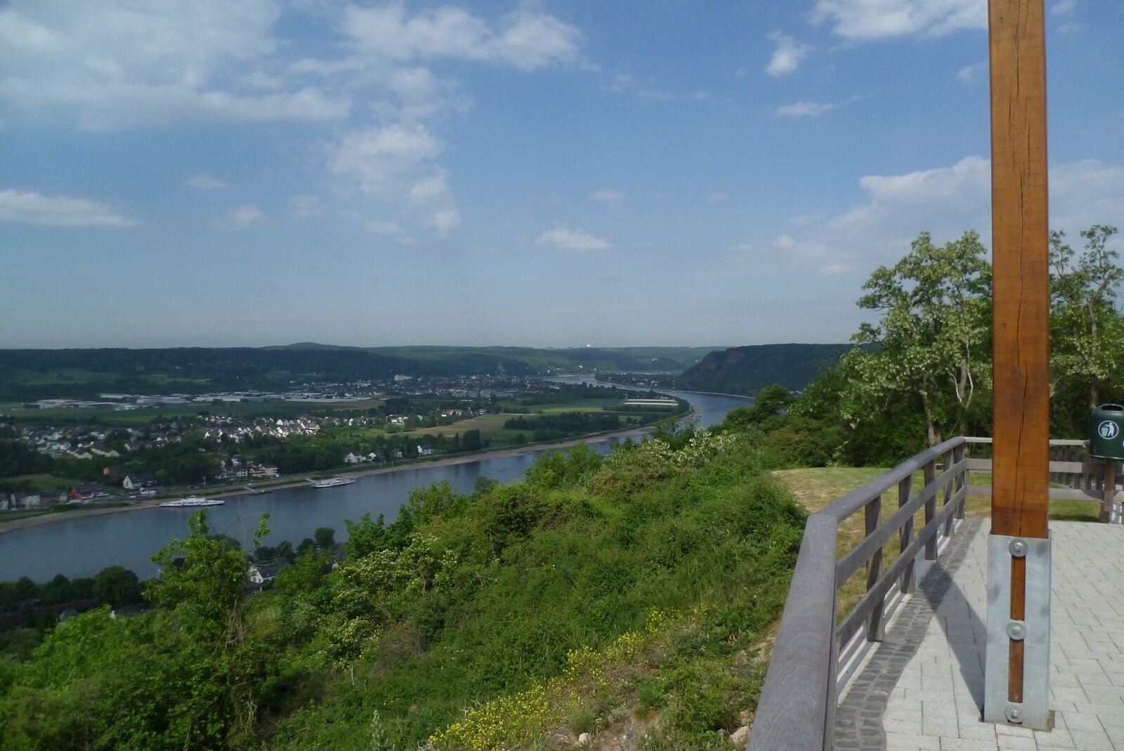
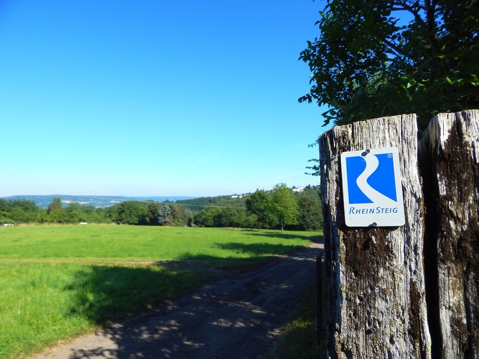
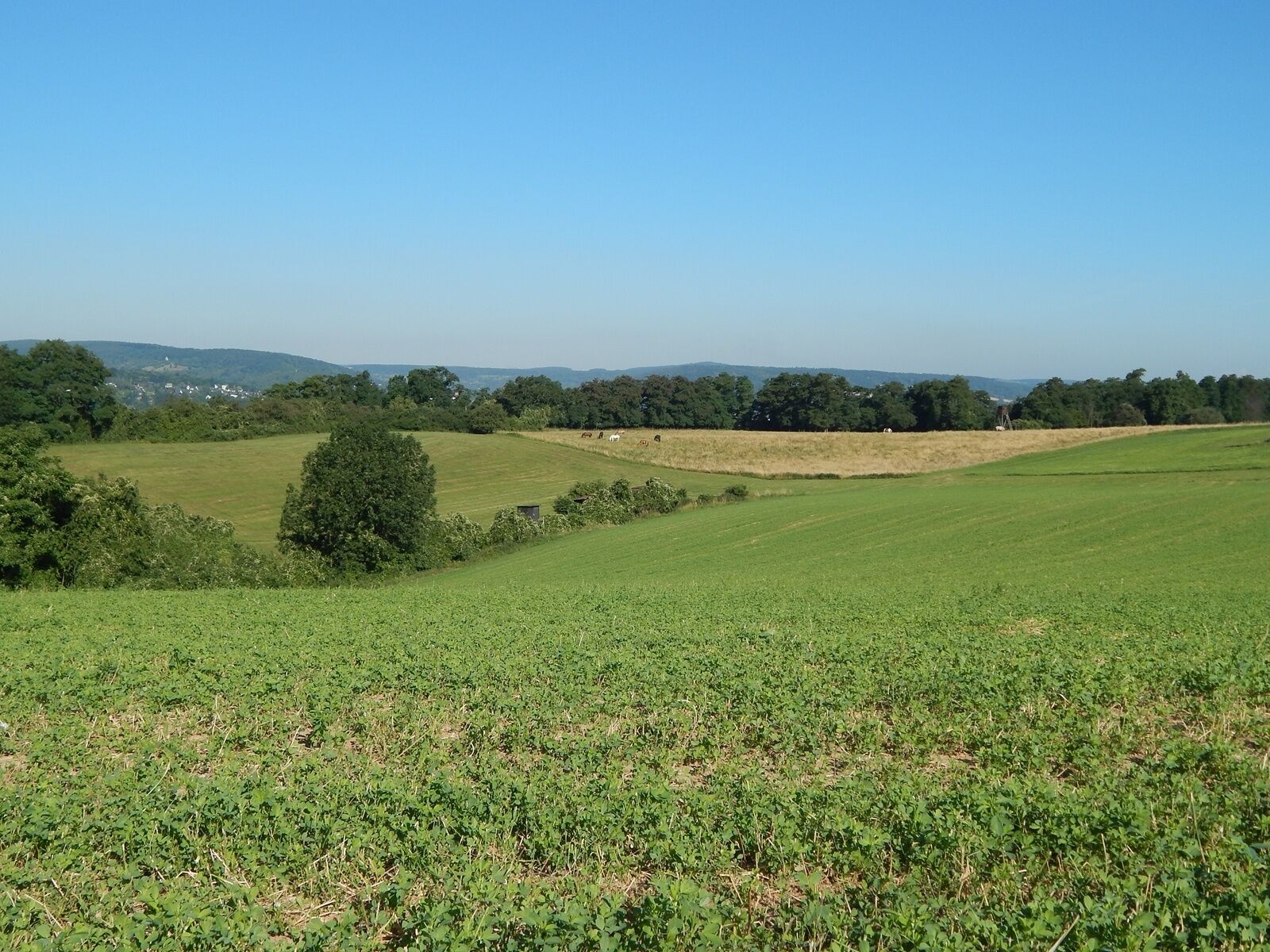
With its mixture of woodland, meadows, vineyards, fields and little villages, this section of the Rheinsteig is rich in variety. There are a number of short but steep ascents.
- Difficoltà
-
intermedio
- Valutazione
-
- Percorso
-
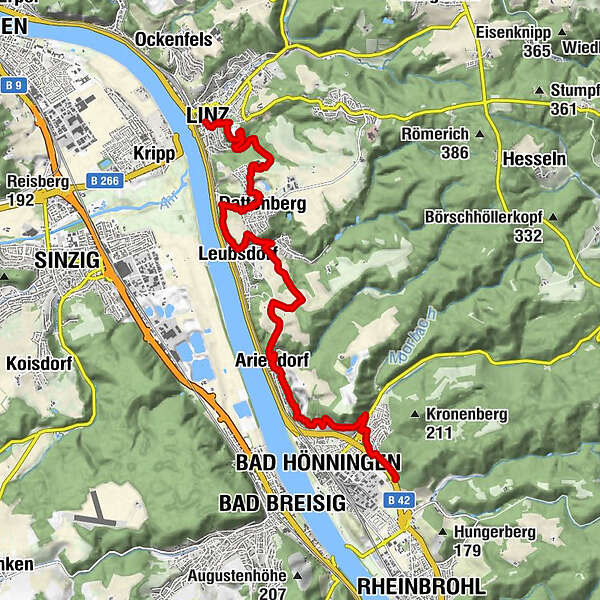
Linz0,0 kmSt. Martin0,2 kmDonatus Kapelle0,8 kmKaiserberg (174 m)0,9 kmAntoniusquelle3,6 kmDattenberg3,8 kmNaturpark-Weitblick Dattenburg4,8 kmLeubsdorf5,4 kmAriendorf9,3 kmBad Hönningen11,0 km
- La stagione migliore
-
genfebmaraprmaggiulugagosetottnovdic
- Punto più alto
- 184 m
- Destinazione
-
Bad Hönningen
- Profilo altimetrico
-
 © outdooractive.com


- Autore
-
Il tour Rheinsteig Stage 4: Linz–Bad Hönningen (north–south) è utilizzato da outdooractive.com fornito.
GPS Downloads


Info generali
Culturale/Storico
Flora
Promettente
Altri tour nelle regioni
-
Ahrtal
1259
-
Siebengebirge
707
-
Linz am Rhein
279