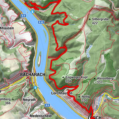
RheinBurgenWeg Stage 11: Oberwesel–Bacharach (north–south)


© Romantischer Rhein Tourismus GmbH - Friedrich Gier

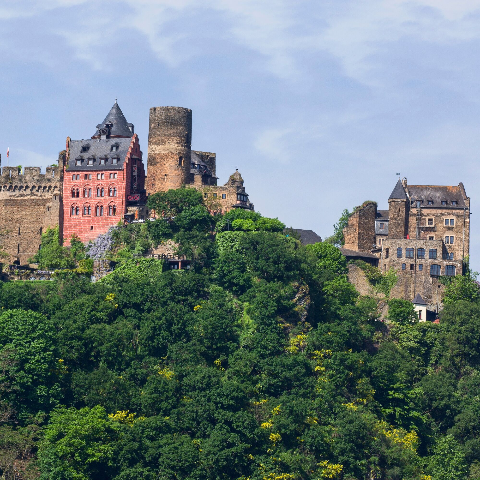
© Romantischer Rhein Tourismus GmbH - Henry Tornow

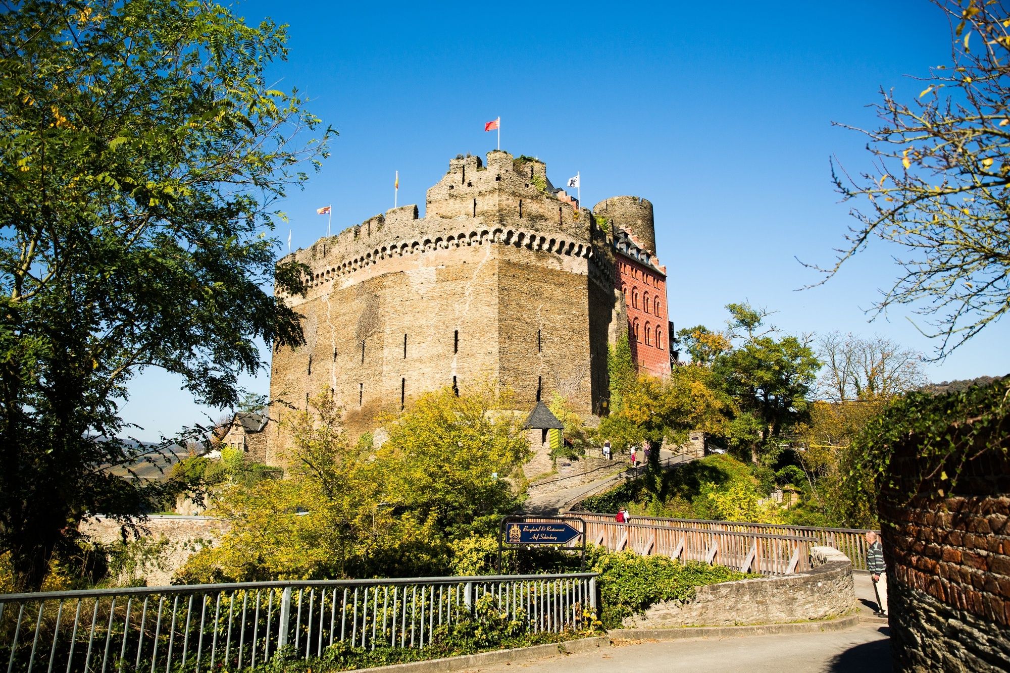
© Romantischer Rhein Tourismus GmbH - Henry Tornow

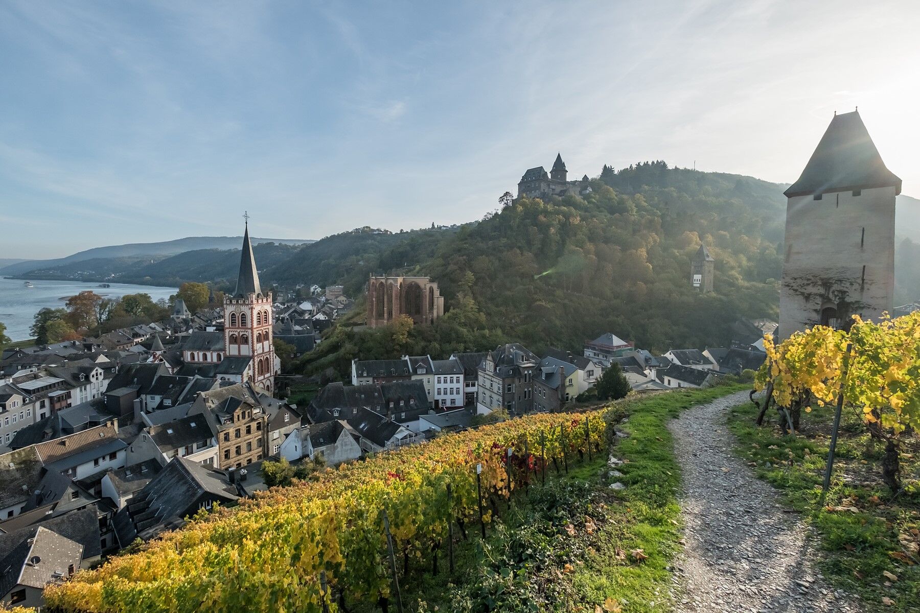
© Romantischer Rhein Tourismus GmbH - Andreas Pacek, fototour-deutschland.de

© Romantischer Rhein Tourismus GmbH - Andreas Pacek, fototour-deutschland.de

- Descrizione rapida
-
Between the vines and the edge of the slope
- Difficoltà
-
intermedio
- Valutazione
-
- Percorso
-
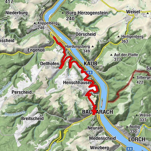
OberweselMichaelskapelle0,1 kmSchloßnack (155 m)0,3 kmKaub6,3 kmHenschhausen7,5 kmBacharach13,1 km
- La stagione migliore
-
genfebmaraprmaggiulugagosetottnovdic
- Punto più alto
- 235 m
- Destinazione
-
Bacharach
- Profilo altimetrico
-
 © outdooractive.com


- Autore
-
Il tour RheinBurgenWeg Stage 11: Oberwesel–Bacharach (north–south) è utilizzato da outdooractive.com fornito.
GPS Downloads


Info generali
Punto di ristoro
Culturale/Storico
Promettente
Altri tour nelle regioni
-
Romantischer Rhein
1052
-
Loreley
587
-
Kaub
170