© Zum Wohl. Die Pfalz. - Fachenbach Medien

© Zum Wohl. Die Pfalz. - Julian Völk


© Zum Wohl. Die Pfalz. - Michael Werner


- Descrizione rapida
-
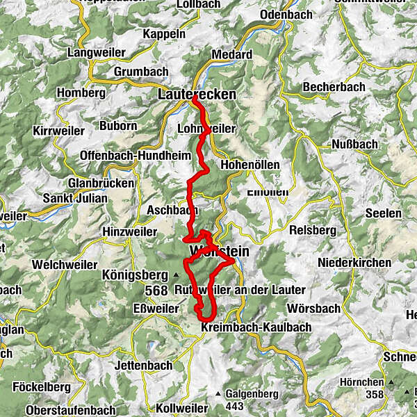
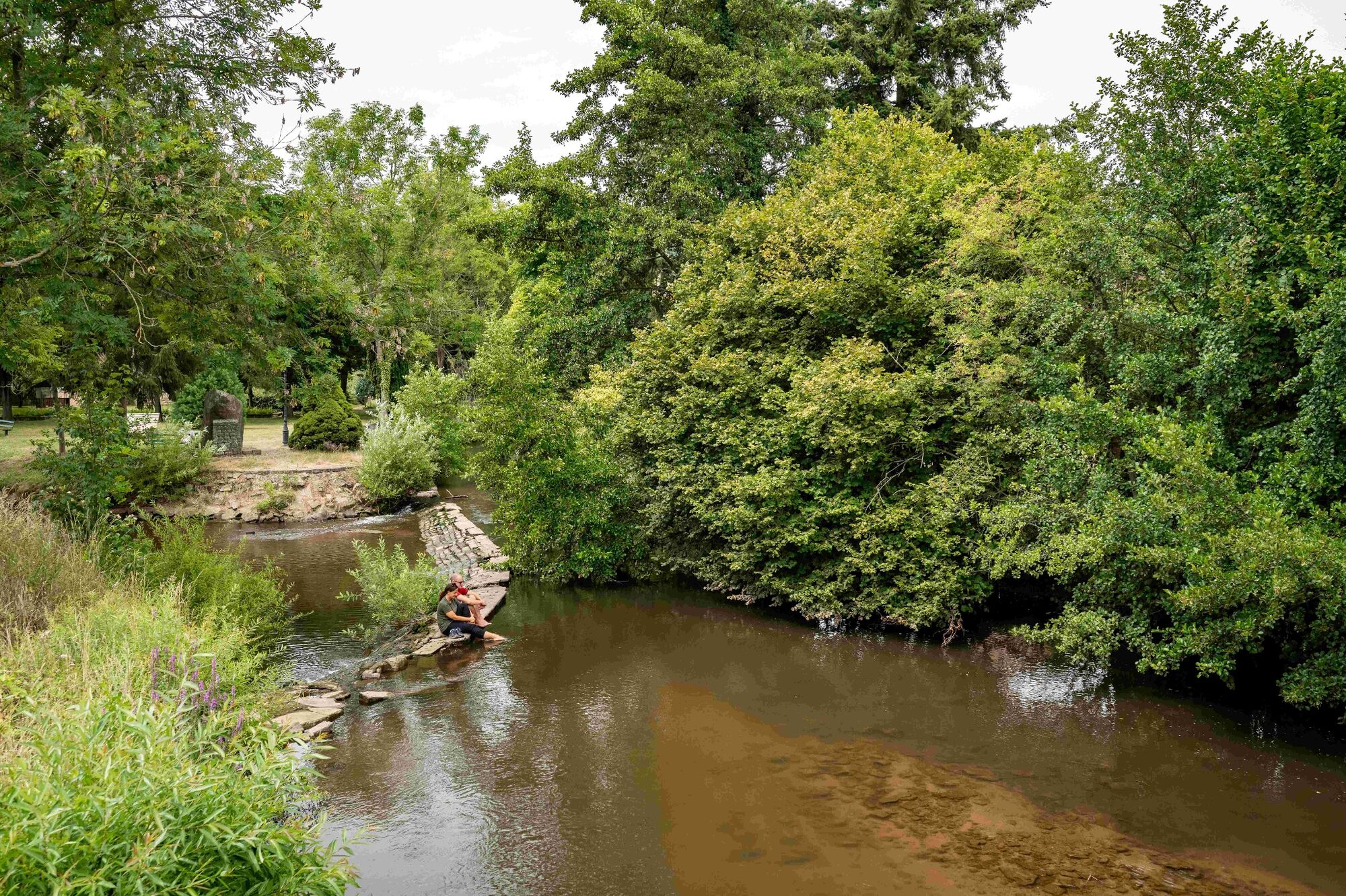
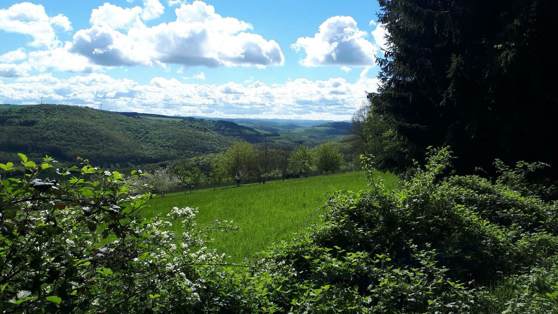
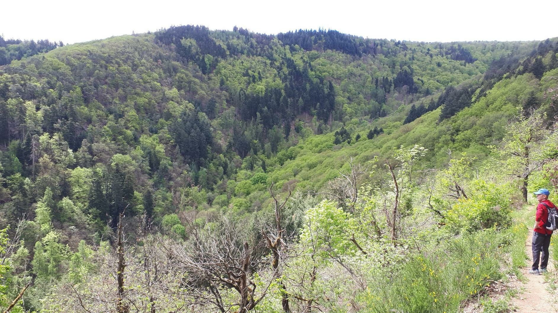
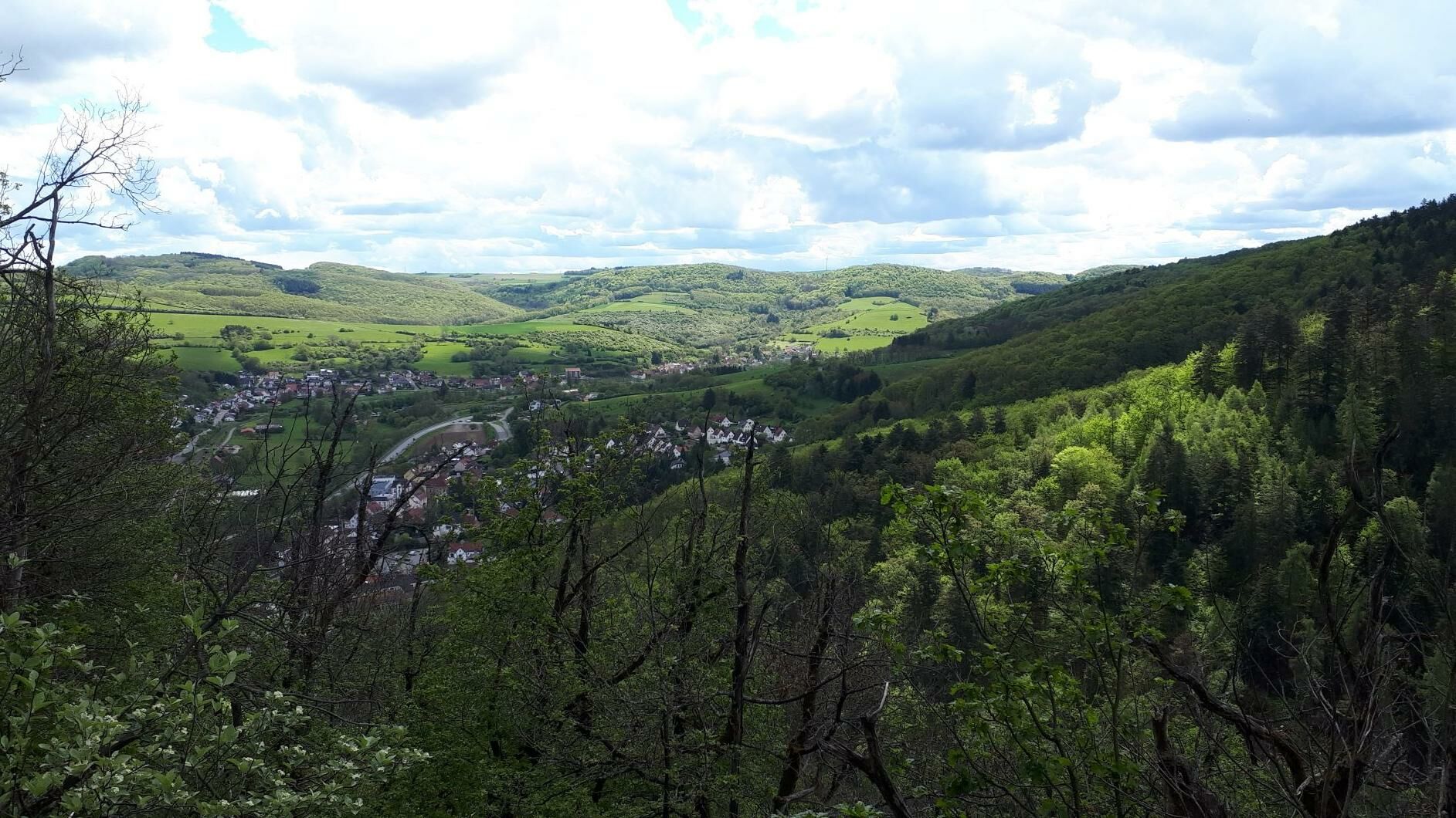
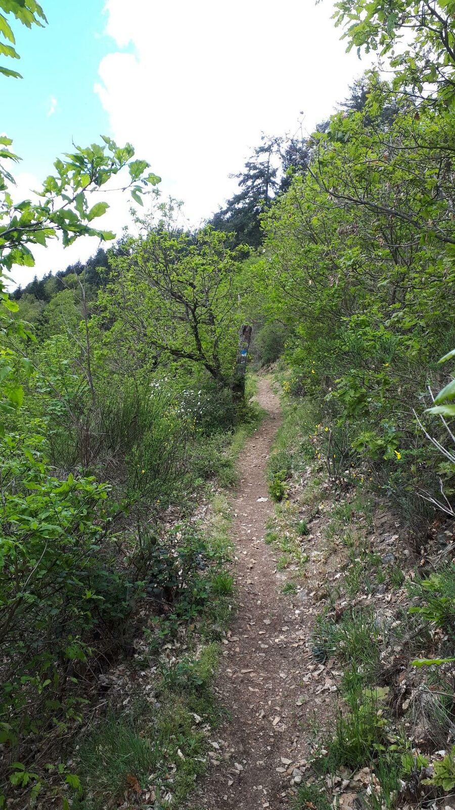
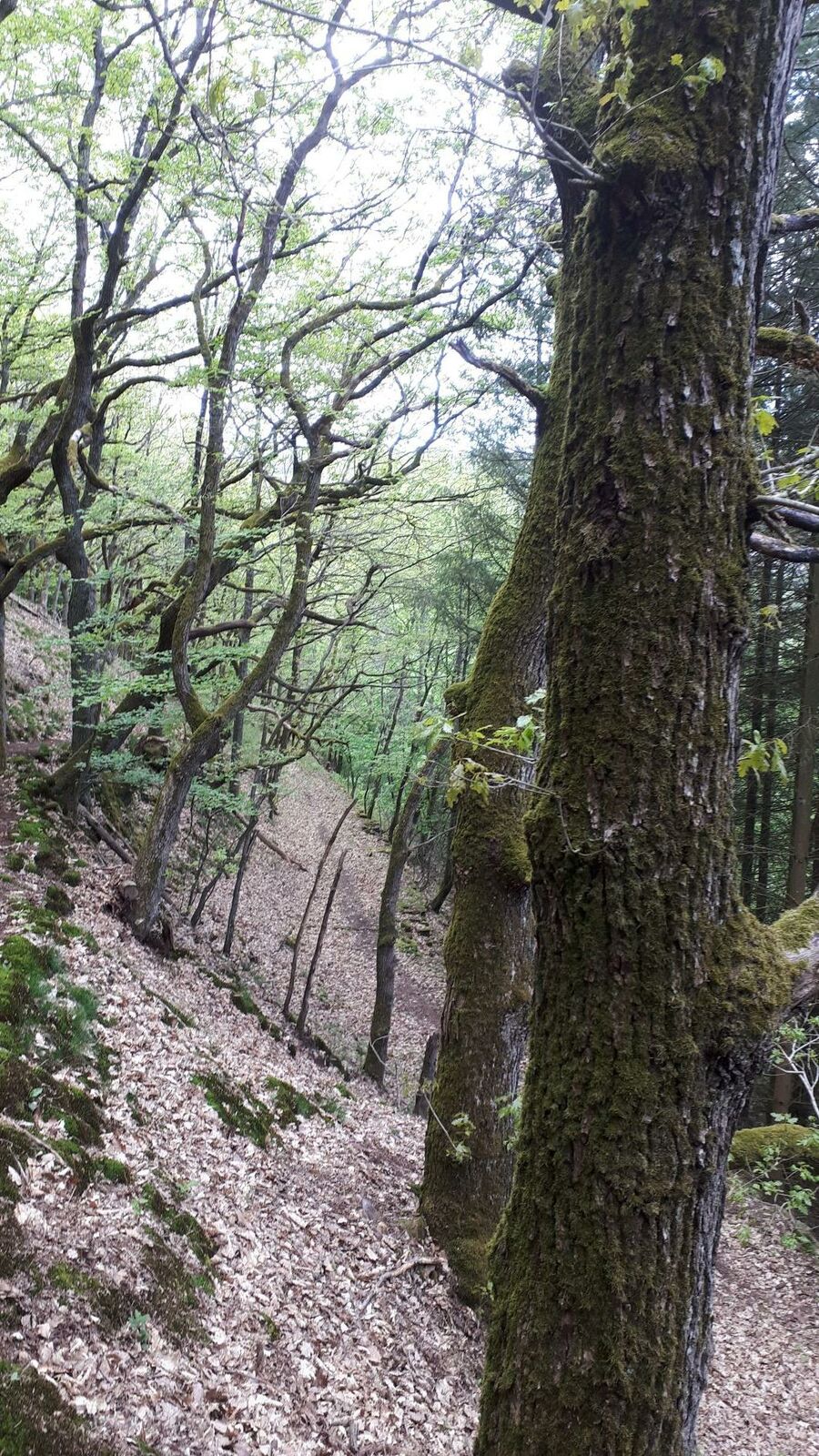
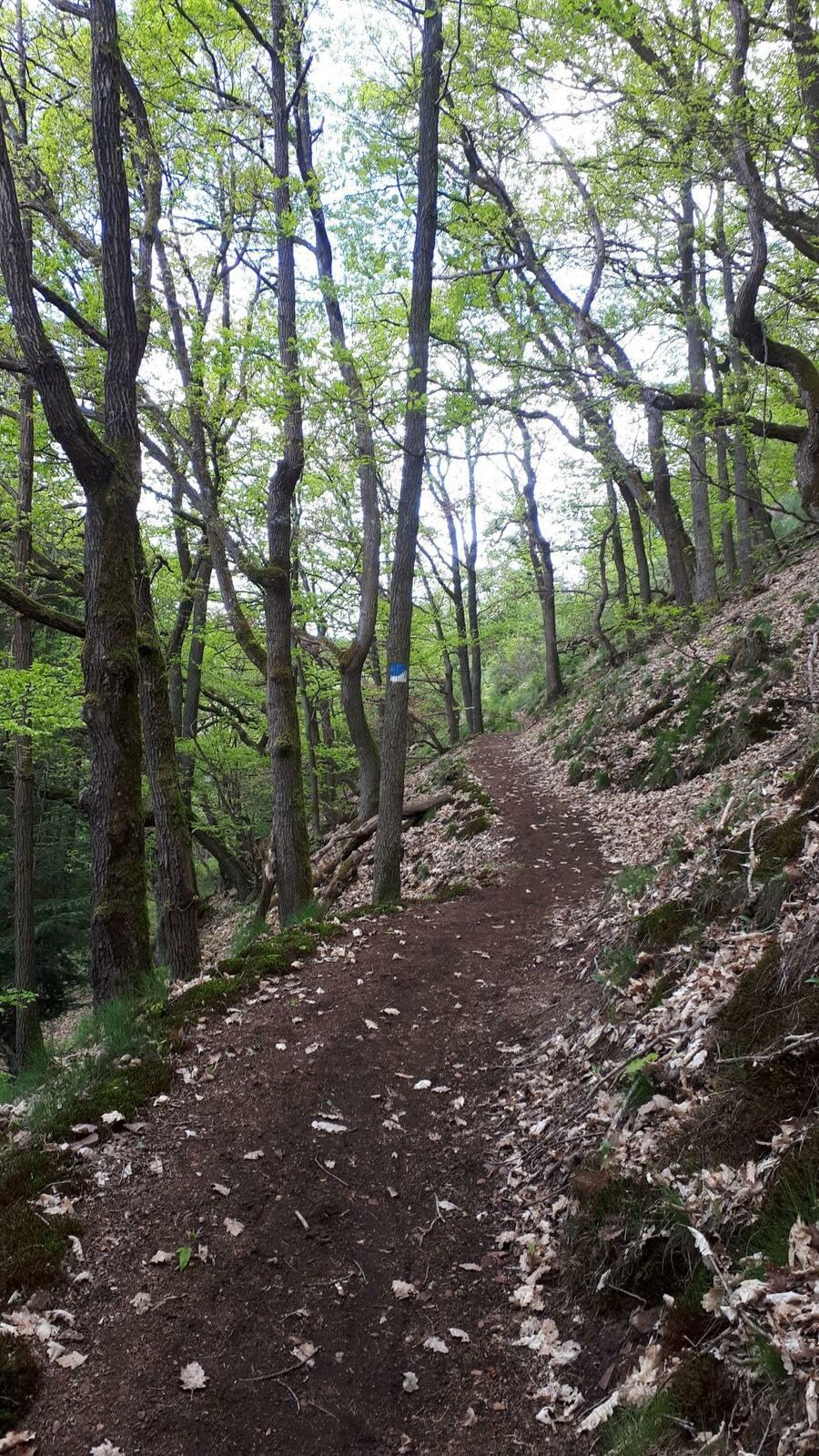
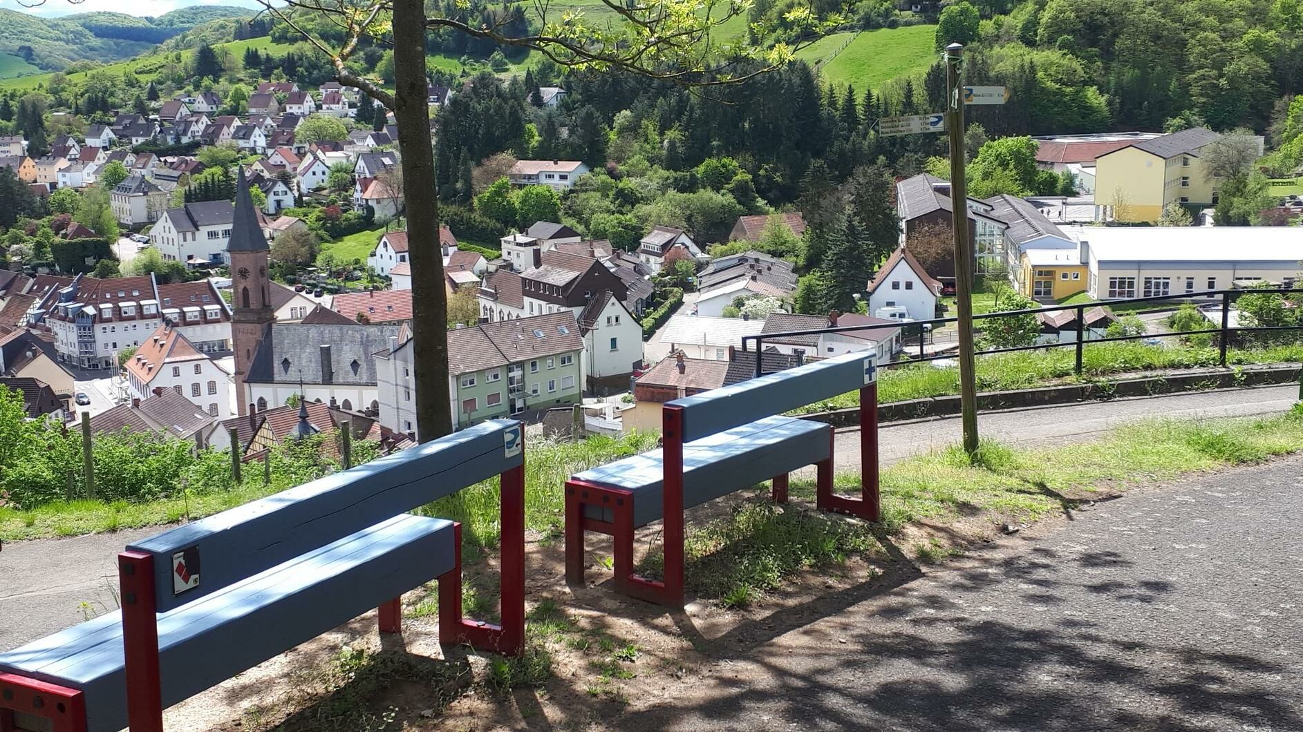
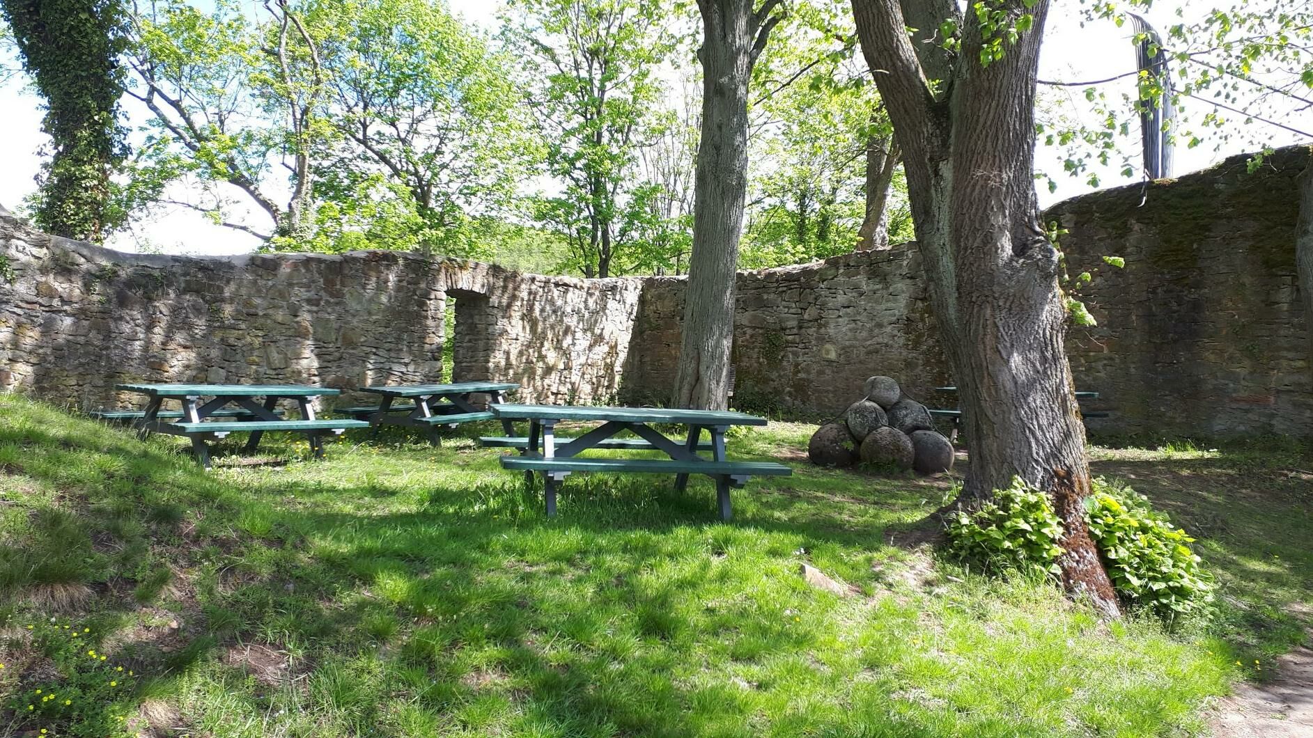
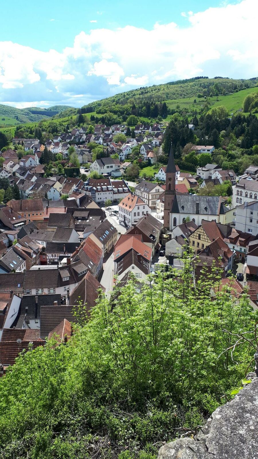
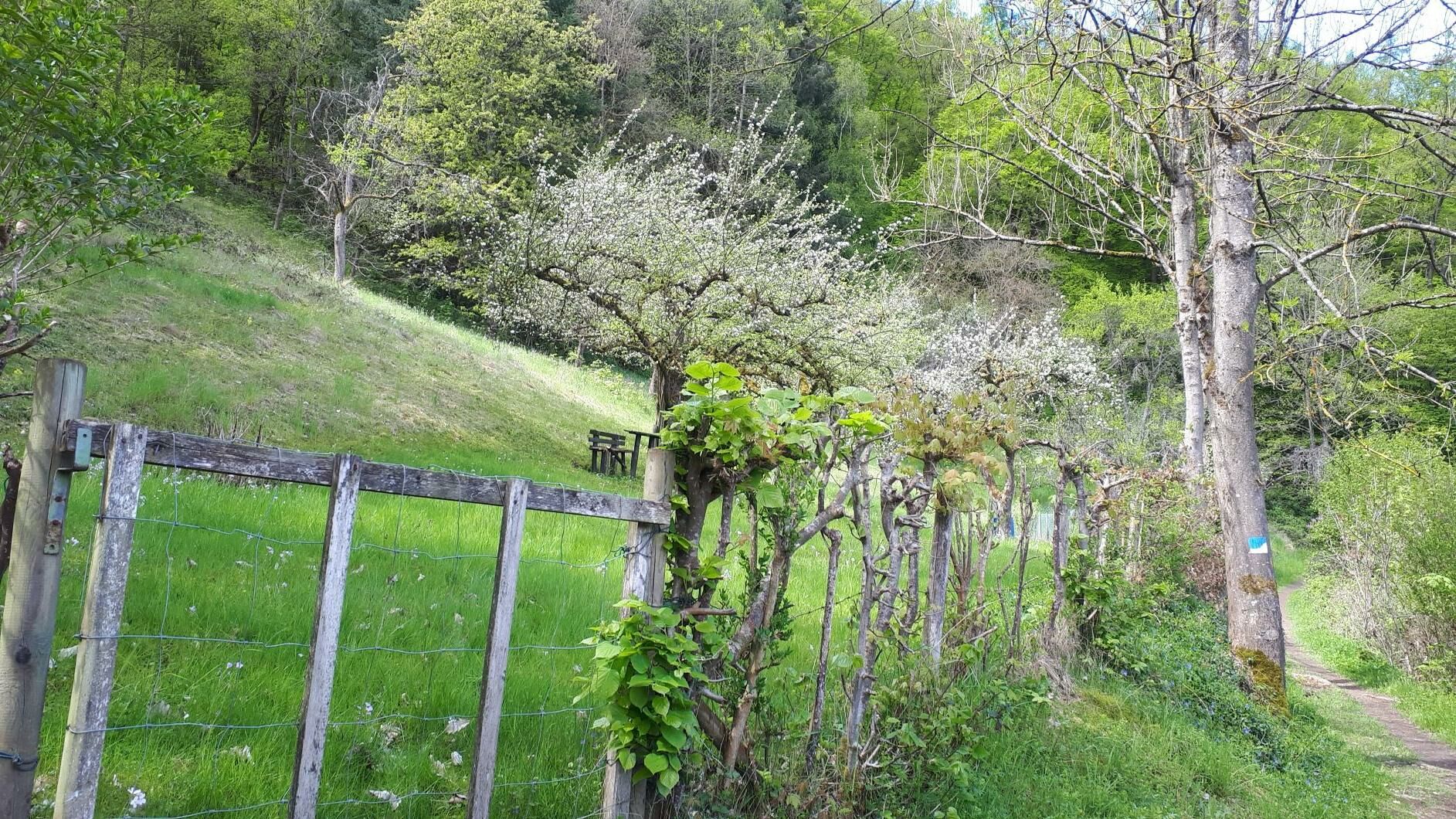
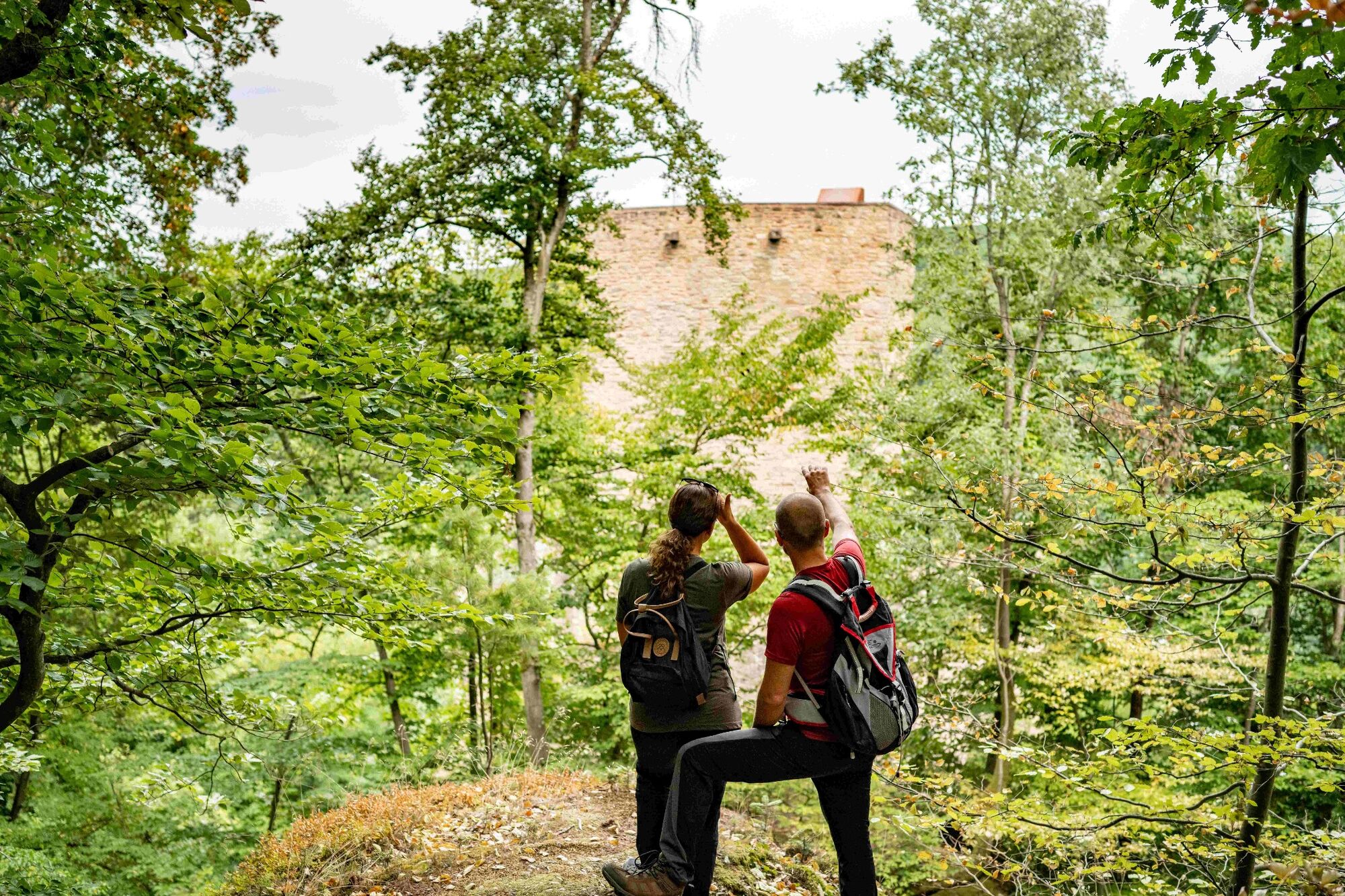
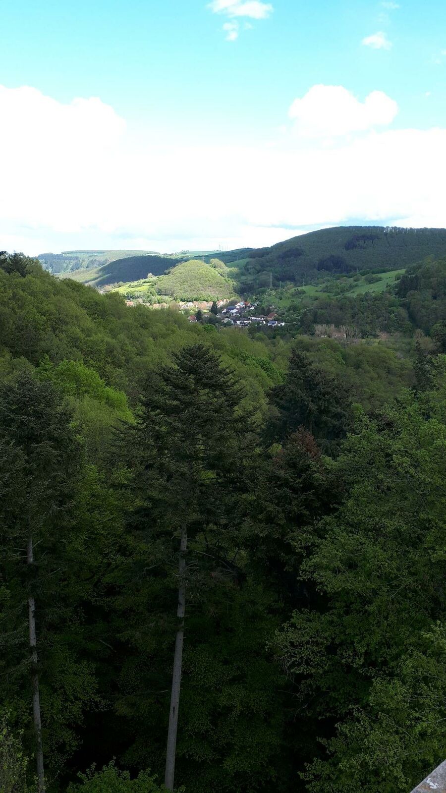
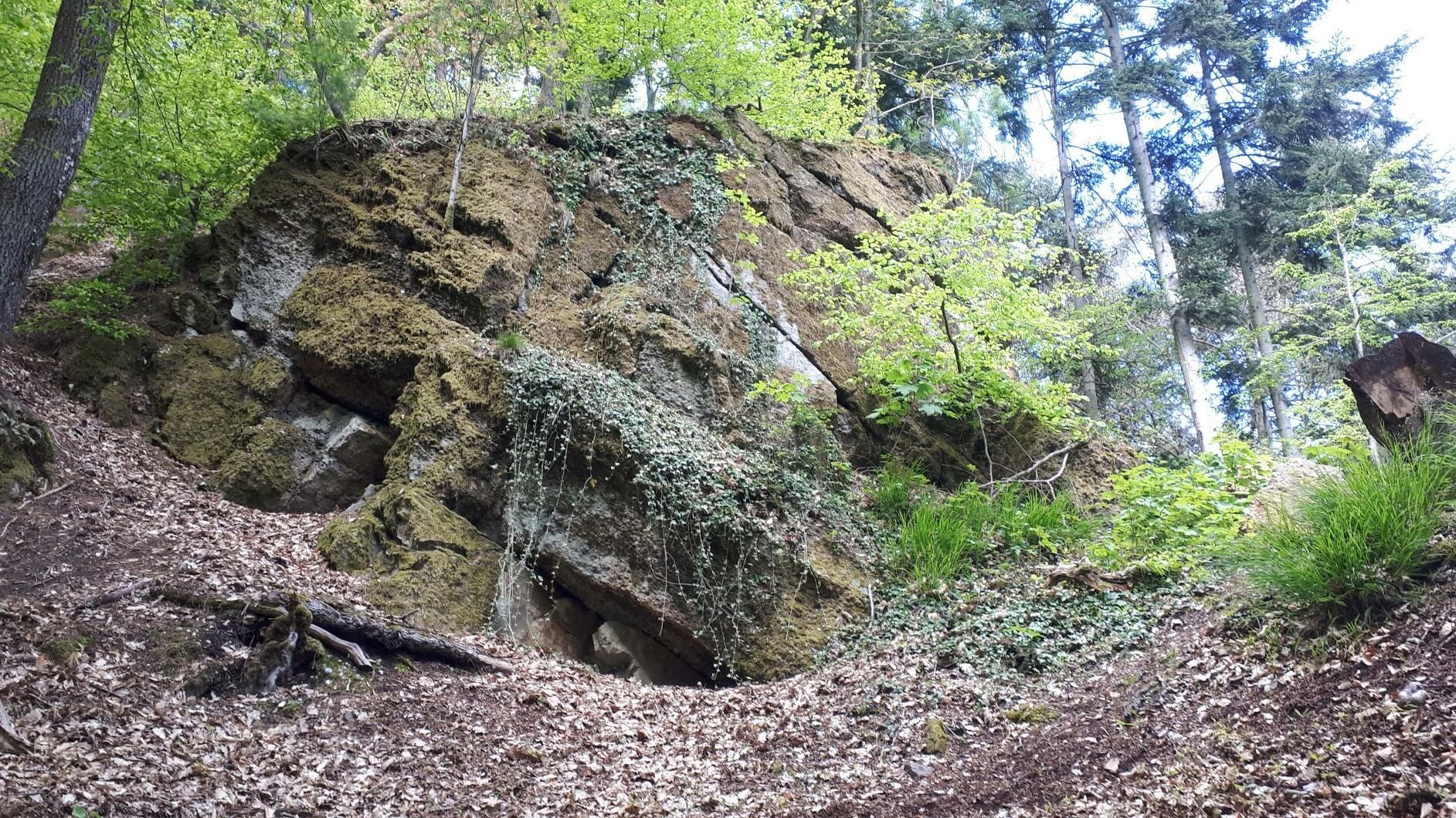
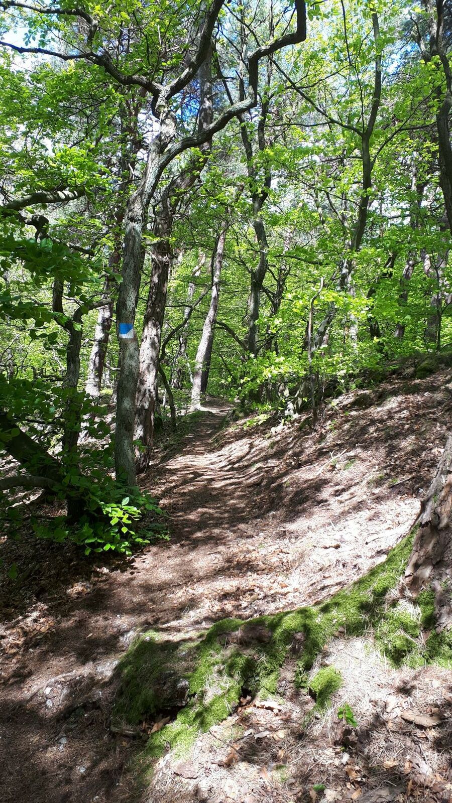
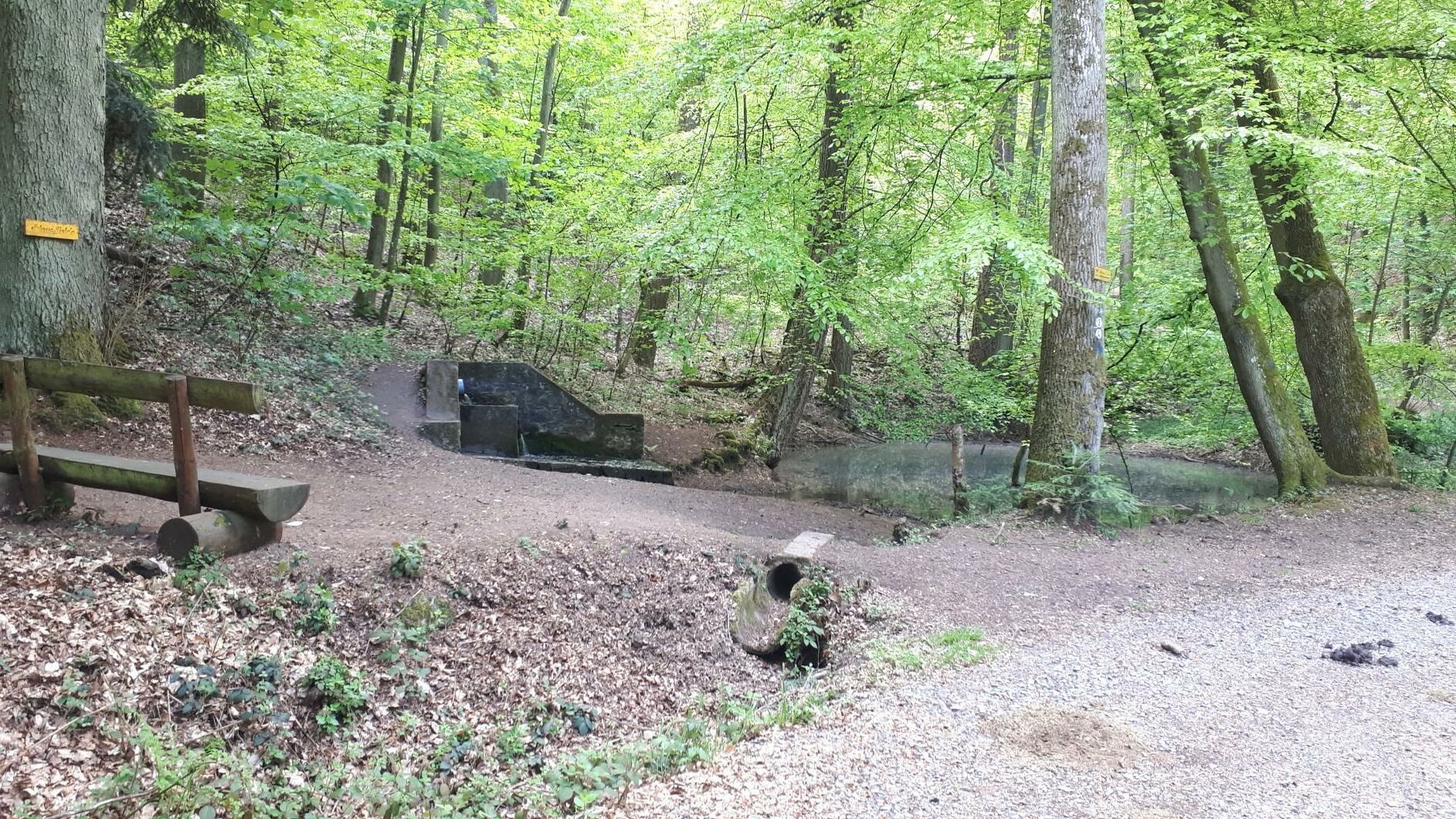
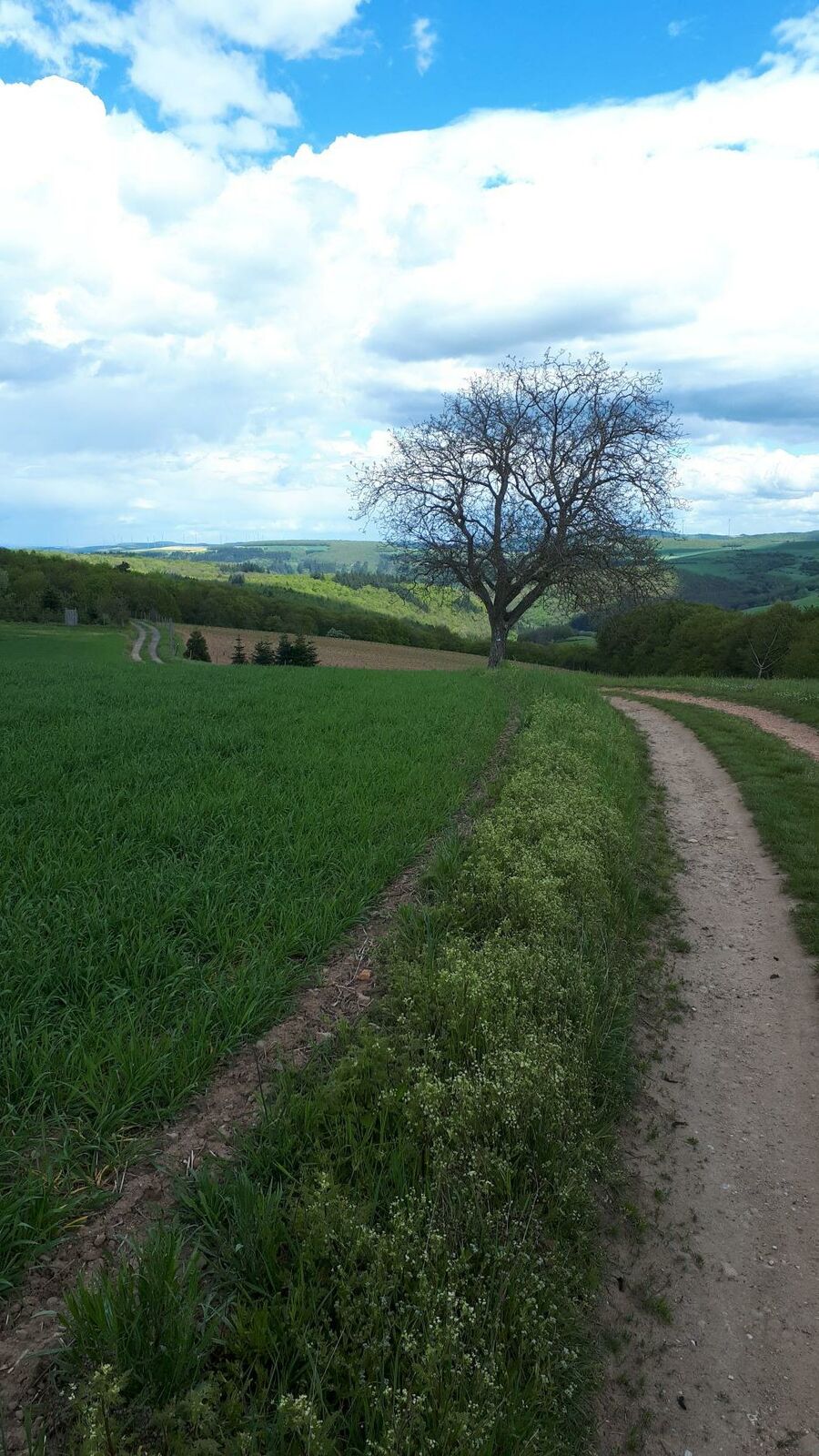
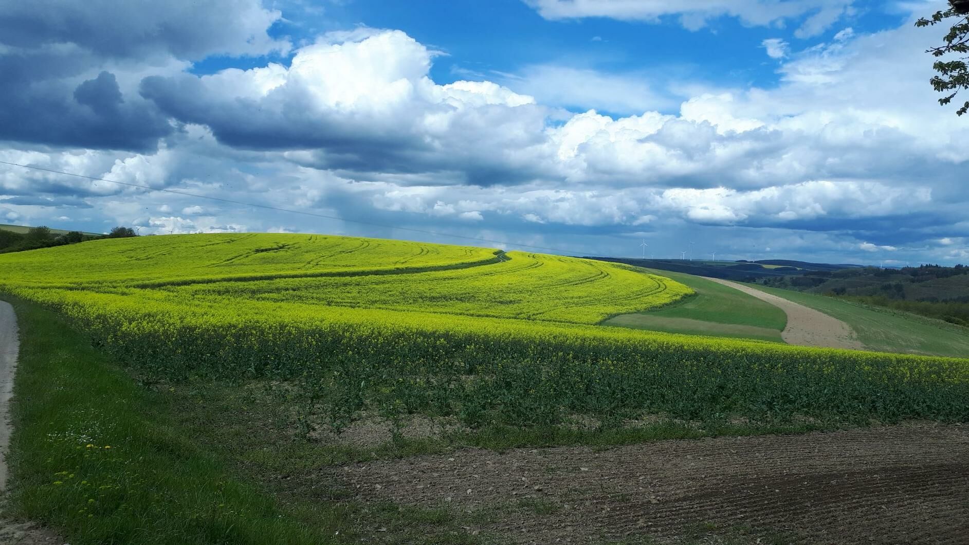
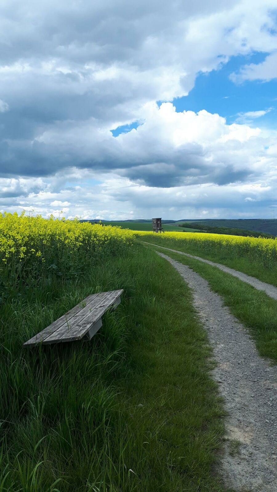
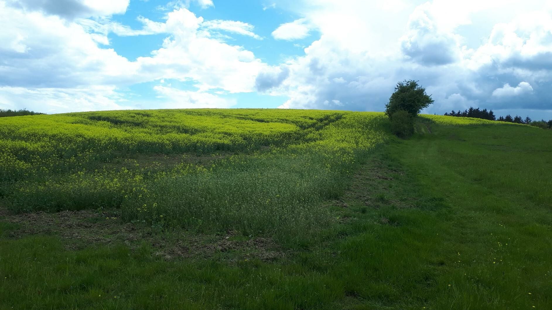
The last stage of the Pfälzer Höhenweg trail leads from Lauterecken via Lohnweiler through the shady forests of the Königsberg massif to Wolfstein. The 21km route includes the romantic castle ruins at Altwolfstein and Neuwolfstein.
- Difficoltà
-
intermedio
- Valutazione
-
- Percorso
-
Lauterecken0,0 kmSt.-Josefs-Kapelle0,3 kmLohnweiler2,1 kmWolfstein11,3 kmSelberghütte16,3 kmSelberg (545 m)16,4 kmRutsweiler Hütte PWV18,8 kmWolfstein22,0 kmPizzeria Gelateria La Piazzetta22,2 kmEv. Kirche22,2 kmLandgasthof Königsberg22,2 km
- La stagione migliore
-
genfebmaraprmaggiulugagosetottnovdic
- Punto più alto
- 541 m
- Destinazione
-
Wolfstein train station
- Profilo altimetrico
-
 © outdooractive.com
-

-
AutoreIl tour Pfälzer Höhenweg Stage 7: Lauterecken - Wolfstein è utilizzato da outdooractive.com fornito.
GPS Downloads


Info generali
Punto di ristoro
Culturale/Storico
Flora
Promettente
Altri tour nelle regioni