© EVAdinarica Project - EVA dinarica

- Punto più alto
- 26 m
- Profilo altimetrico
-
 © outdooractive.com

-

-
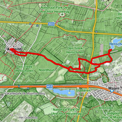
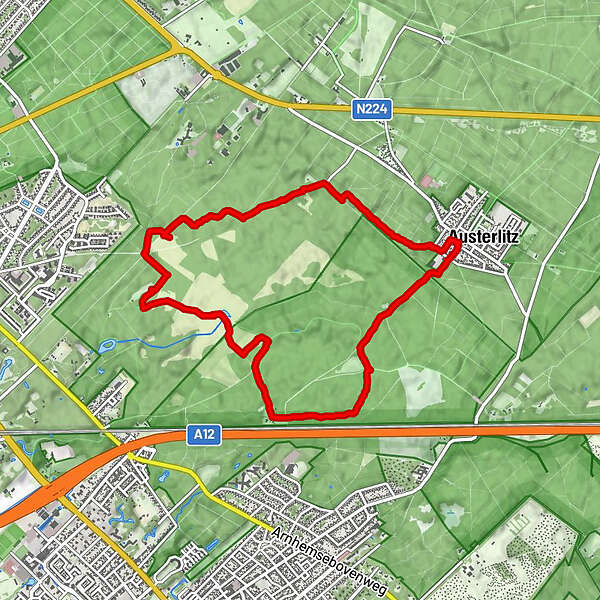
AutoreIl tour Utrechtse heuvelrug Rondje è utilizzato da outdooractive.com fornito.
GPS Downloads
Altri tour nelle regioni
© outdooractive.com