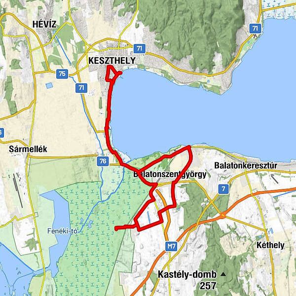
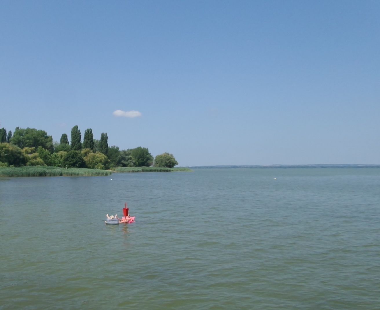
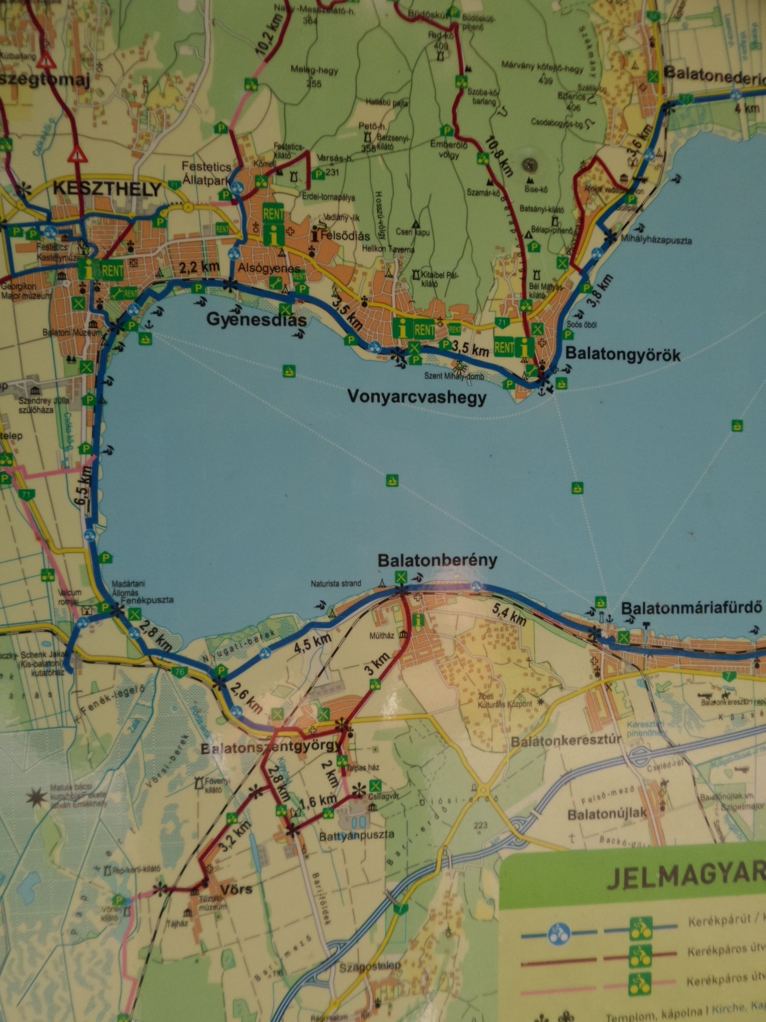
Balatonszentgyörgy - Vörs Kilato - Balatonbereny ( Balaton Ungarn )

Bicicletta


Dati percorsi
40,88km
103
- 131m
86hm
91hm
03:30h
- Descrizione rapida
-
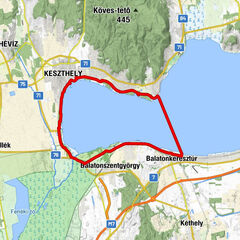
Rundfahrt über Balatonszentgyörgy nach Vörs - Kilato ( Aussichtsturm ) und Balatonbereny; zurück auf Balaton-Radweg nach Keszthely ( Balaton Ungarn )
- Difficoltà
-
intermedio
- Valutazione
-
- Punto di partenza
-
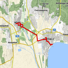
Keszthely
- Percorso
-
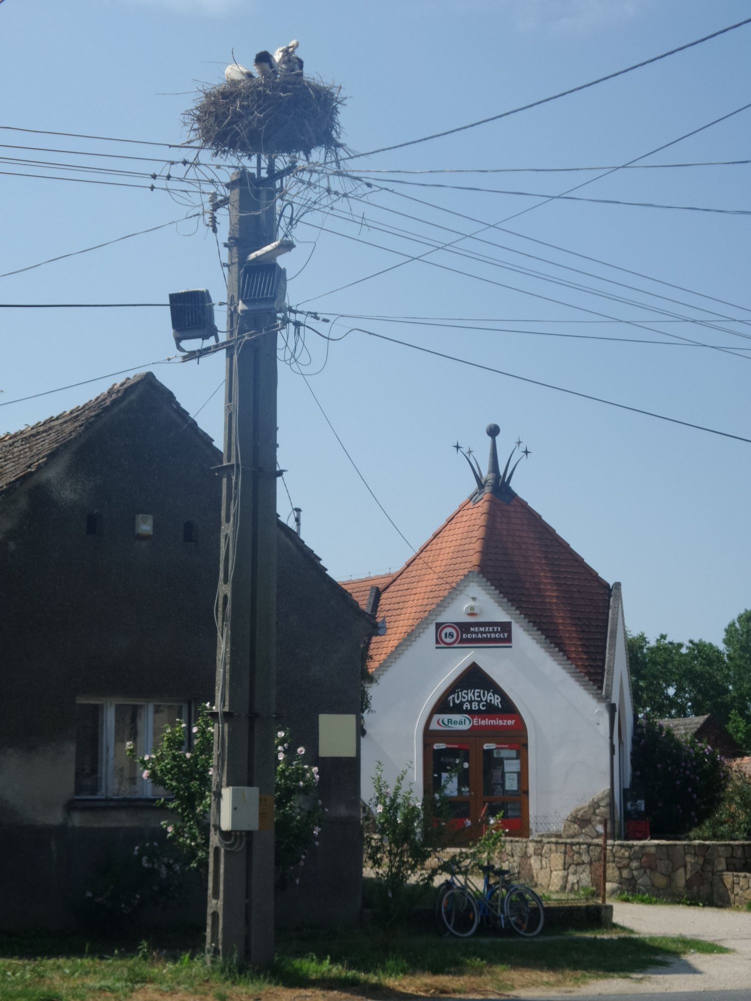
Kesthell0,1 kmHalászcsárda1,4 kmPedro steak house1,5 kmPepi Vendéglő1,5 kmKlára csárda3,1 kmSzent Márton püspök-templom13,8 kmVörs14,0 kmSzent Márton püspök-templom16,9 kmVörs17,4 kmBattyánpuszta18,7 kmSzent György-templom22,6 kmPiki Étterem és Élelmiszer22,7 kmSt. Georgen am Plattensee22,8 kmBalatonberény25,4 kmKeresztelő Szent János-templom25,5 kmKlára csárda36,0 kmPepi Vendéglő37,1 kmPedro steak house37,6 kmHalászcsárda37,8 kmMúzeum játszótér38,8 kmKesthell39,5 km
- La stagione migliore
-
genfebmaraprmaggiulugagosetottnovdic
- Punto più alto
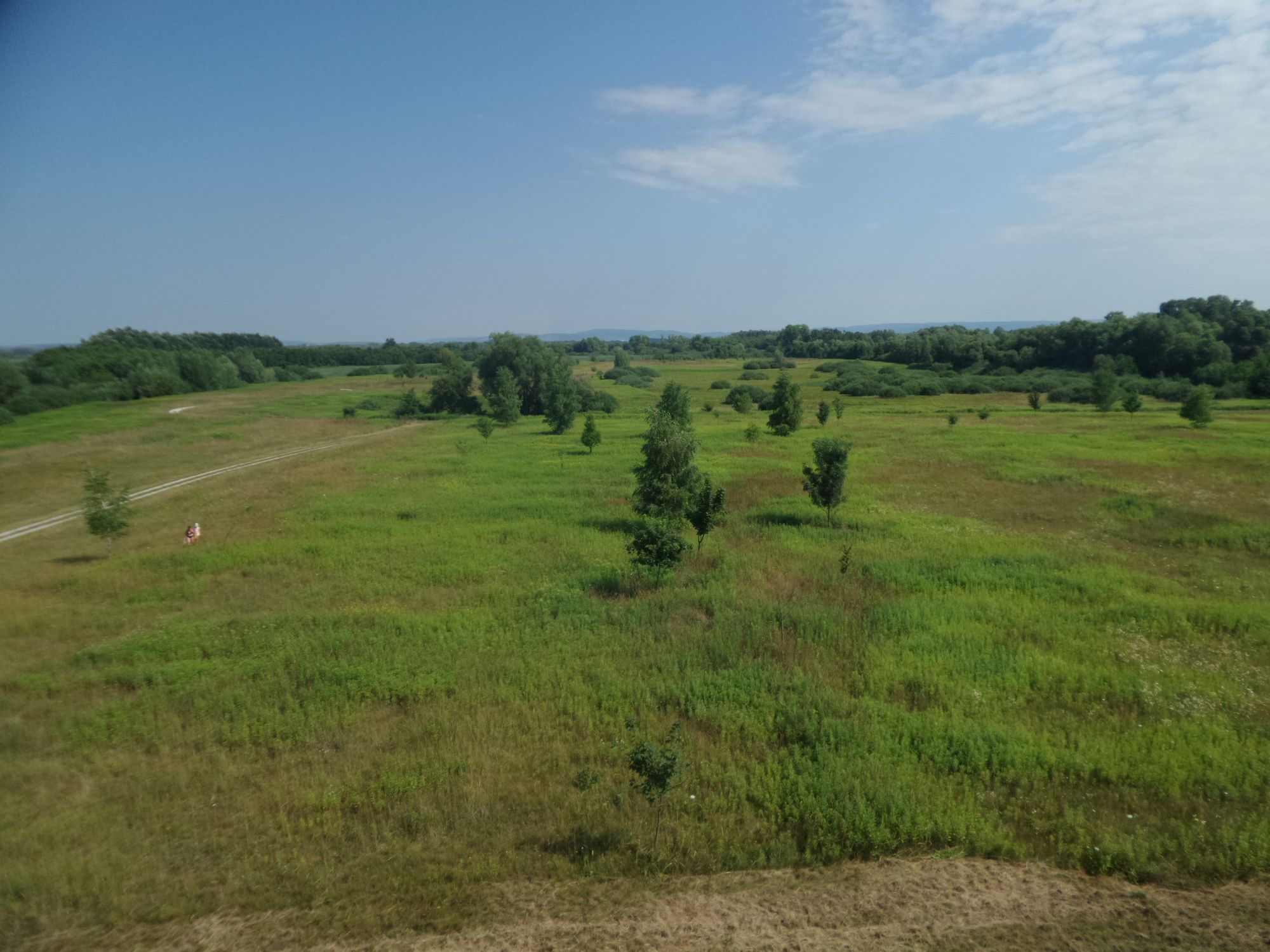
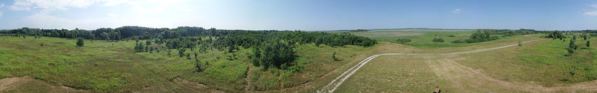
- Balatonbereny (131 m)
- Destinazione
-
Vörs Kilato (Aussichtsturm); Balatonbereny
- Riposo/Ritiro
-
Vörs Kilato (Aussichtsturm); Balatonbereny
- Fonte
- Xxlstier
GPS Downloads


Percorsi
Asfalto
(100%)
Ghiaia
Foresta
Vie di montagna
Singletrail
Trial
Traffico