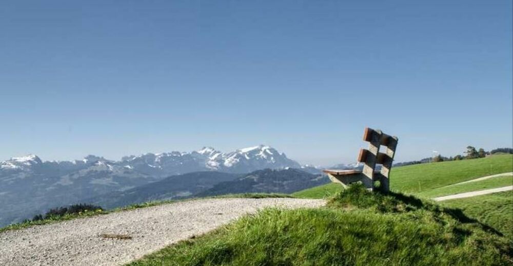
© Appenzellerland Tourismus AR - Nina Ergens
- Descrizione rapida
-
View from the Rhine Valley as far as the Voralberger Alps
- Difficoltà
-
facile
- Valutazione
-
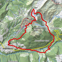
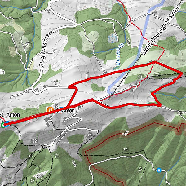
- Percorso
-
St. AntonKapelle St. AntonSt.Anton0,3 km
- La stagione migliore
-
genfebmaraprmaggiulugagosetottnovdic
- Punto più alto
- 1.108 m
- Destinazione
-
Kafi Anton
- Profilo altimetrico
-
 © outdooractive.com

- Autore
-
Il tour St. Anton circular trail - easy route è utilizzato da outdooractive.com fornito.
GPS Downloads


Info generali
Punto di ristoro
Promettente
Altri tour nelle regioni
-
St. Gallen - Bodensee
2065
-
St. Galler Rheintal
1332
-
Oberegg
249