© Appenzellerland Tourismus AR - Jolanda Spengler, Appenzeller Verlag

© Appenzellerland Tourismus AR - Jolanda Spengler, Appenzeller Verlag

© Appenzellerland Tourismus AR - Jolanda Spengler, Appenzeller Verlag

© Appenzellerland Tourismus AR - Jolanda Spengler, Appenzeller Verlag

© Appenzellerland Tourismus AR - Jolanda Spengler, Appenzeller Verlag
- Descrizione rapida
-
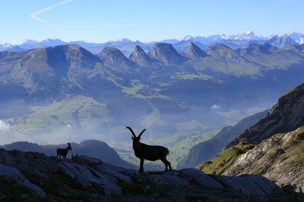
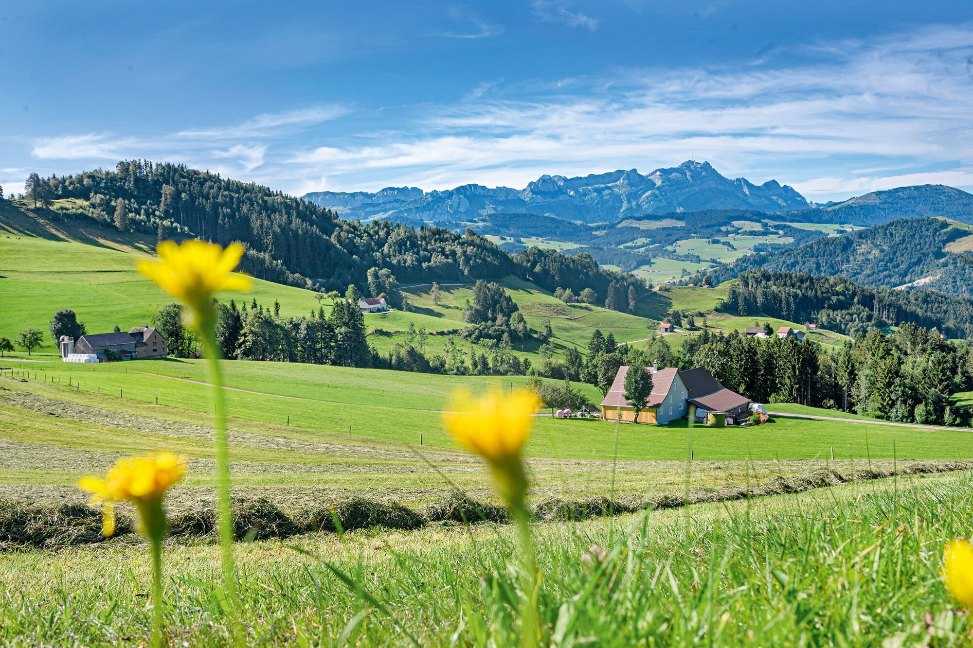
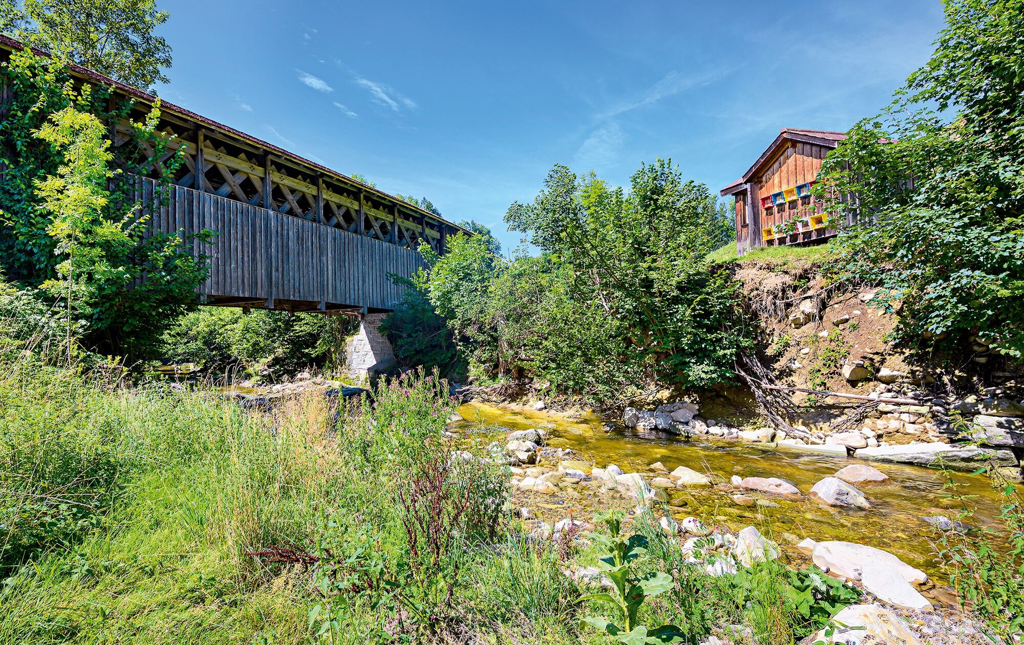
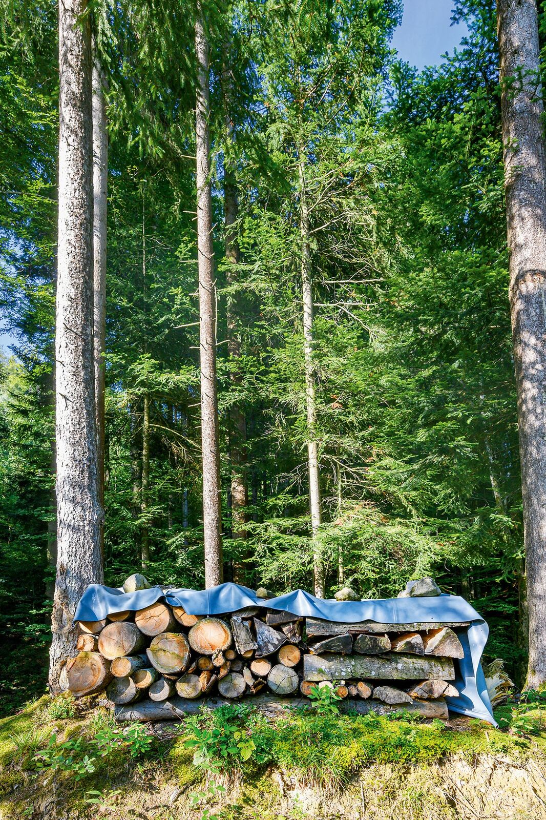
Morning dew settles on the meadows, the days are getting shorter and the shadows longer.
- Difficoltà
-
intermedio
- Valutazione
-
- Percorso
-
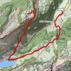
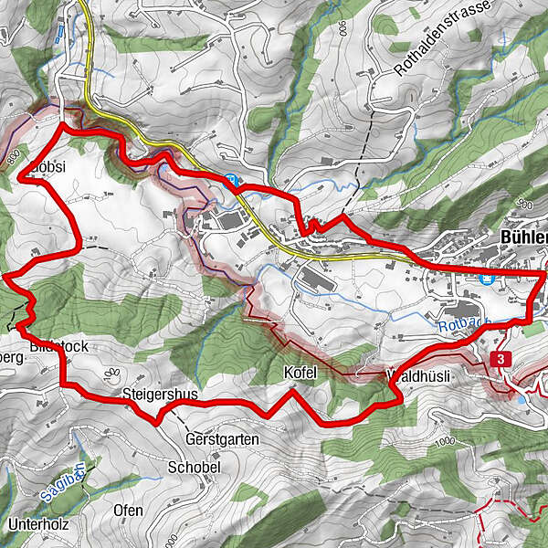
Bühler (828 m)Bühler0,2 kmKofel1,9 kmSteigershus2,6 kmBildstock3,3 kmGöbsi4,6 kmSan Gallo (675 m)5,2 kmSteigbach (814 m)6,2 kmBühler (828 m)7,6 kmBühler7,7 km
- La stagione migliore
-
genfebmaraprmaggiulugagosetottnovdic
- Punto più alto
- 982 m
- Destinazione
-
Bühler station
- Profilo altimetrico
-
 © outdooractive.com
- Autore
-
Il tour Autumn is harvest time è utilizzato da outdooractive.com fornito.
GPS Downloads


Info generali
Punto di ristoro
Promettente
Altri tour nelle regioni
-
Appenzellerland
1955
-
Appenzell Ausserrhoden
896
-
Bühler
327