© Appenzellerland AR - Marcel Steiner

© Appenzellerland AR - Marcel Steiner

© Appenzellerland AR - Peter Thuma

© Appenzellerland AR - Marcel Steiner
- Descrizione rapida
-
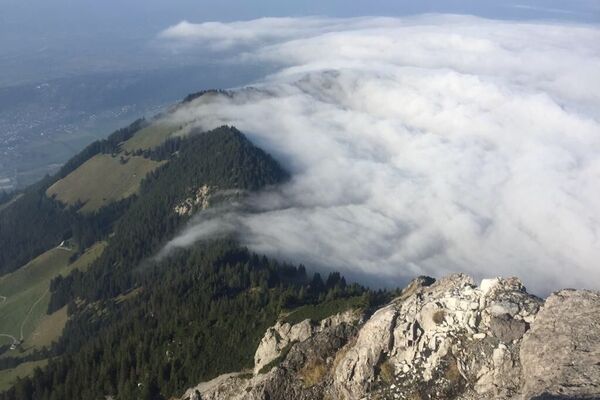
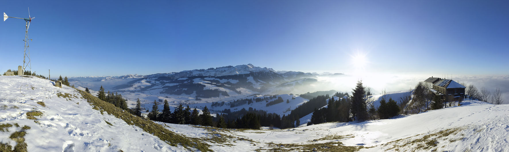
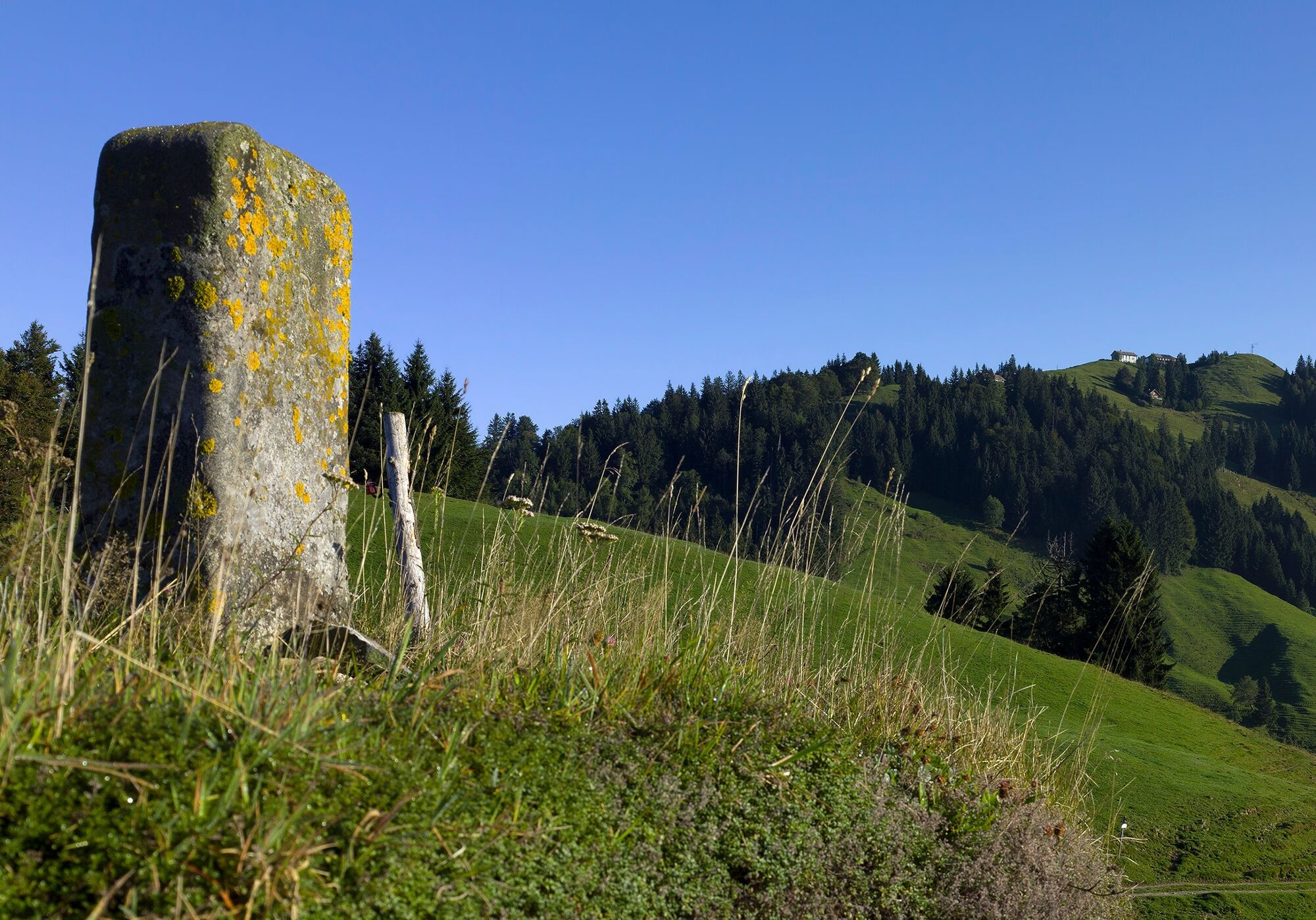
The Hundwiler Höhe is a popular hiking destination in Appenzellerland at any time of year.
- Difficoltà
-
intermedio
- Valutazione
-
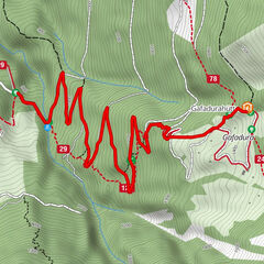
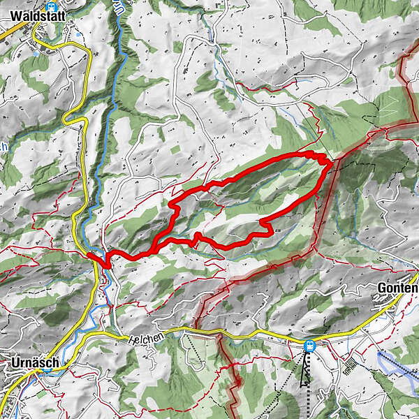
- Percorso
-
Säntisblick0,4 kmHundwiler Höhi (1.305 m)4,2 kmSäntisblick8,3 km
- La stagione migliore
-
genfebmaraprmaggiulugagosetottnovdic
- Punto più alto
- 1.269 m
- Destinazione
-
Zürchersmühle station
- Profilo altimetrico
-
 © outdooractive.com


- Autore
-
Il tour Looped trail to Hundwiler Höhi è utilizzato da outdooractive.com fornito.
GPS Downloads


Info generali
Promettente
Altri tour nelle regioni
-
Appenzellerland
1956
-
Appenzell Ausserrhoden
896
-
Jakobsbad - Kronberg
335