© Appenzellerland Tourismus AR - Celina Bernhart
© Appenzellerland Tourismus AR - Celina Bernhart
- Descrizione rapida
-
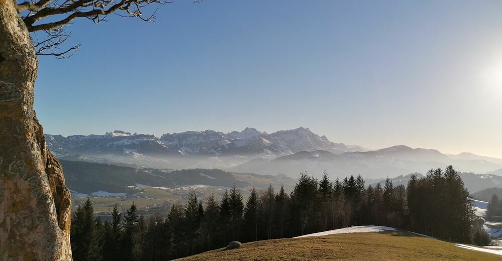
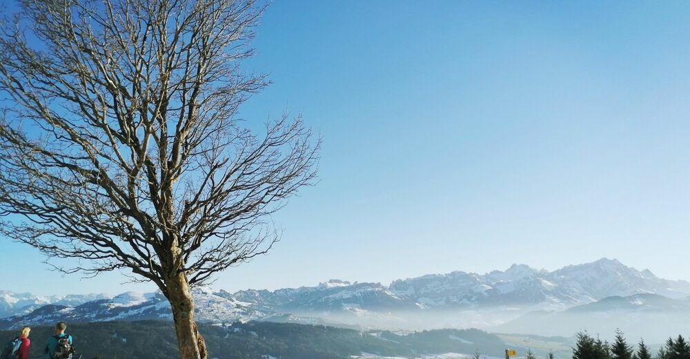
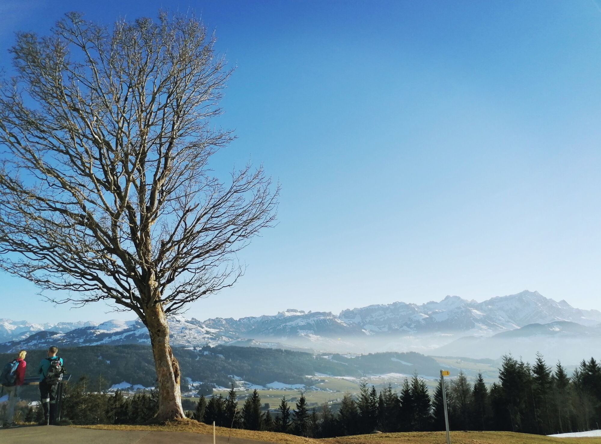
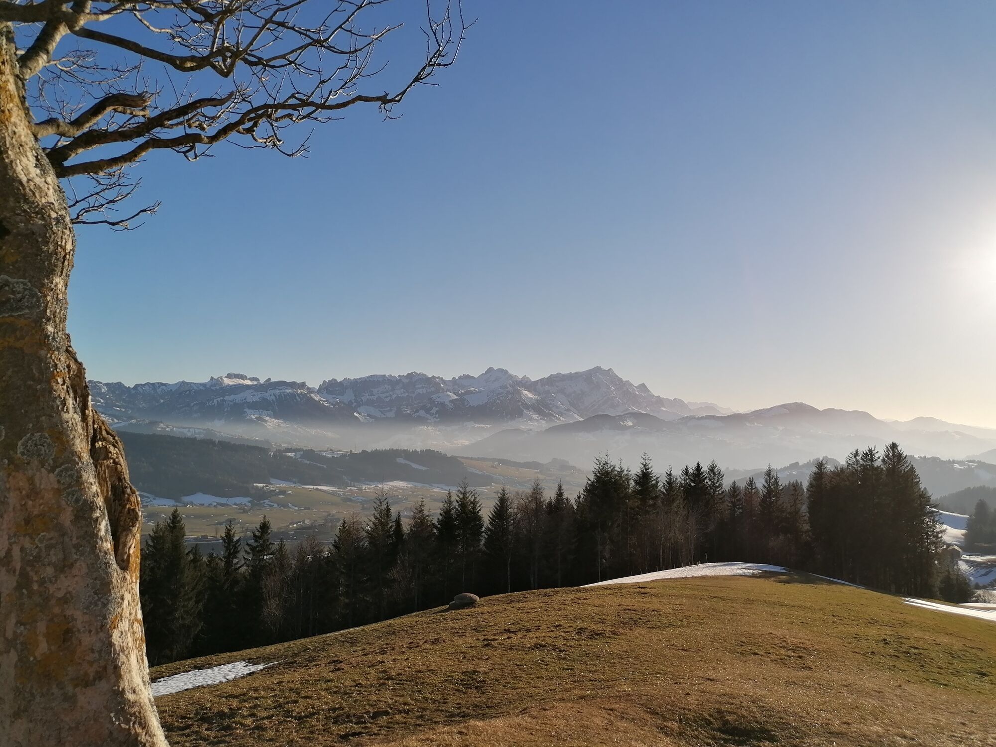
In the wintertime, the Gäbris road turns into a fantastic sled run. So wrap the children up and take a trip to this winter wonderland.
- Difficoltà
-
intermedio
- Valutazione
-
- Percorso
-
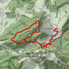
Oberer Gäbris3,5 kmUnterer Gäbris4,2 km
- La stagione migliore
-
genfebmaraprmaggiulugagosetottnovdic
- Punto più alto
- 1.239 m
- Destinazione
-
Gais Hospital
- Profilo altimetrico
-
 © outdooractive.com
- Autore
-
Il tour Up to Gäbris mountain è utilizzato da outdooractive.com fornito.
GPS Downloads


Info generali
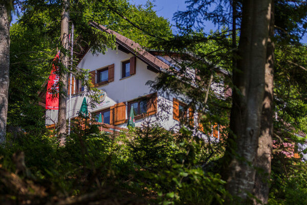
Punto di ristoro
Promettente
Altri tour nelle regioni
-
St. Gallen - Bodensee
2066
-
Appenzell Ausserrhoden
896
-
Gais
335