© Thurgau Tourismus - Regio Frauenfeld Tourismus


© Thurgau Tourismus - Regio Frauenfeld Tourismus

© Thurgau Tourismus - Regio Frauenfeld Tourismus

© Thurgau Tourismus - Regio Frauenfeld Tourismus

© Thurgau Tourismus - Regio Frauenfeld Tourismus

© Thurgau Tourismus - Regio Frauenfeld Tourismus

© Thurgau Tourismus - Regio Frauenfeld Tourismus

© Thurgau Tourismus - Regio Frauenfeld Tourismus

© Thurgau Tourismus - Regio Frauenfeld Tourismus
- Descrizione rapida
-
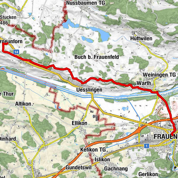
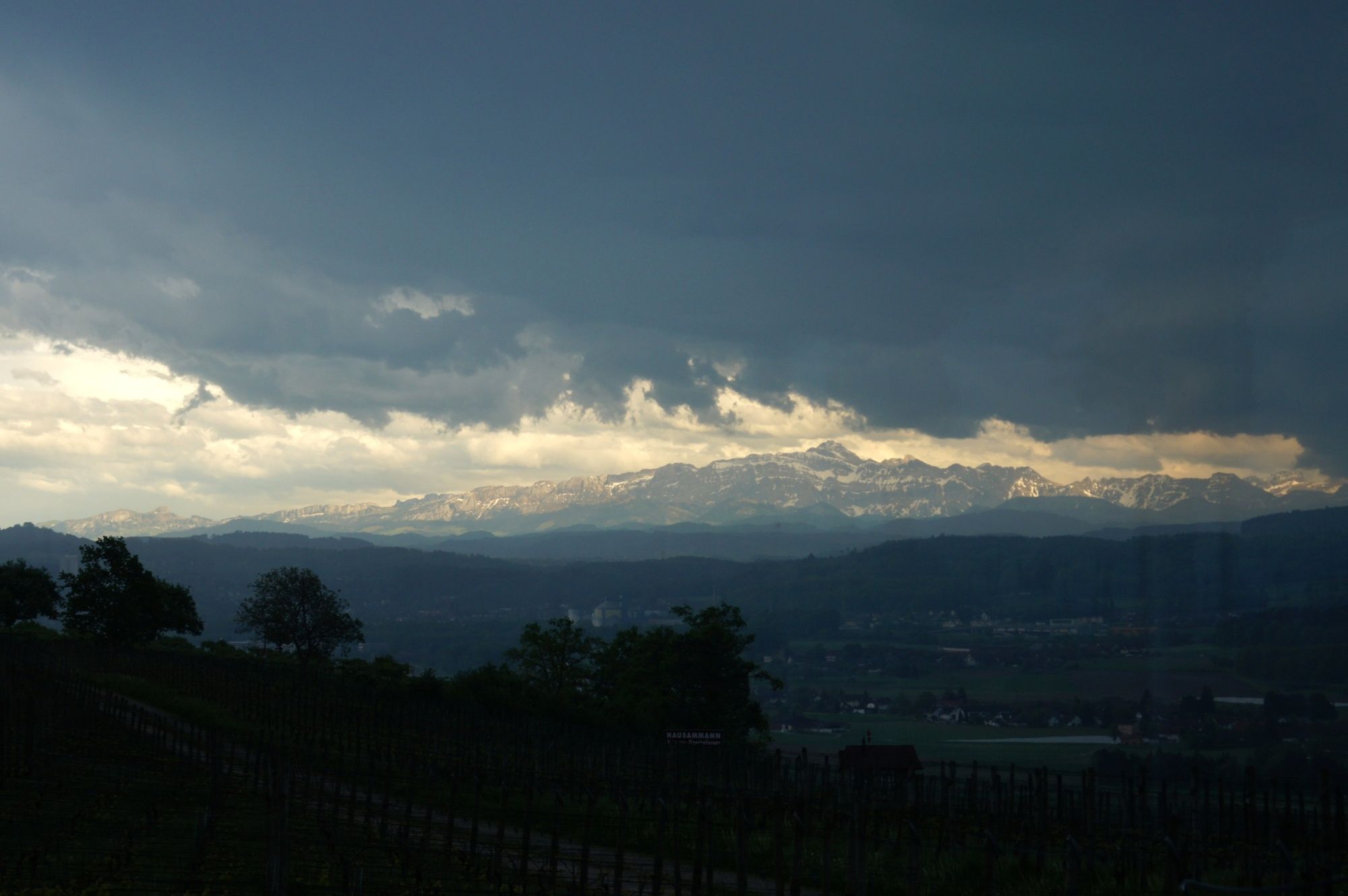
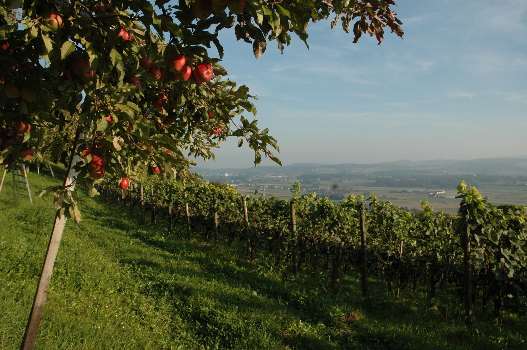
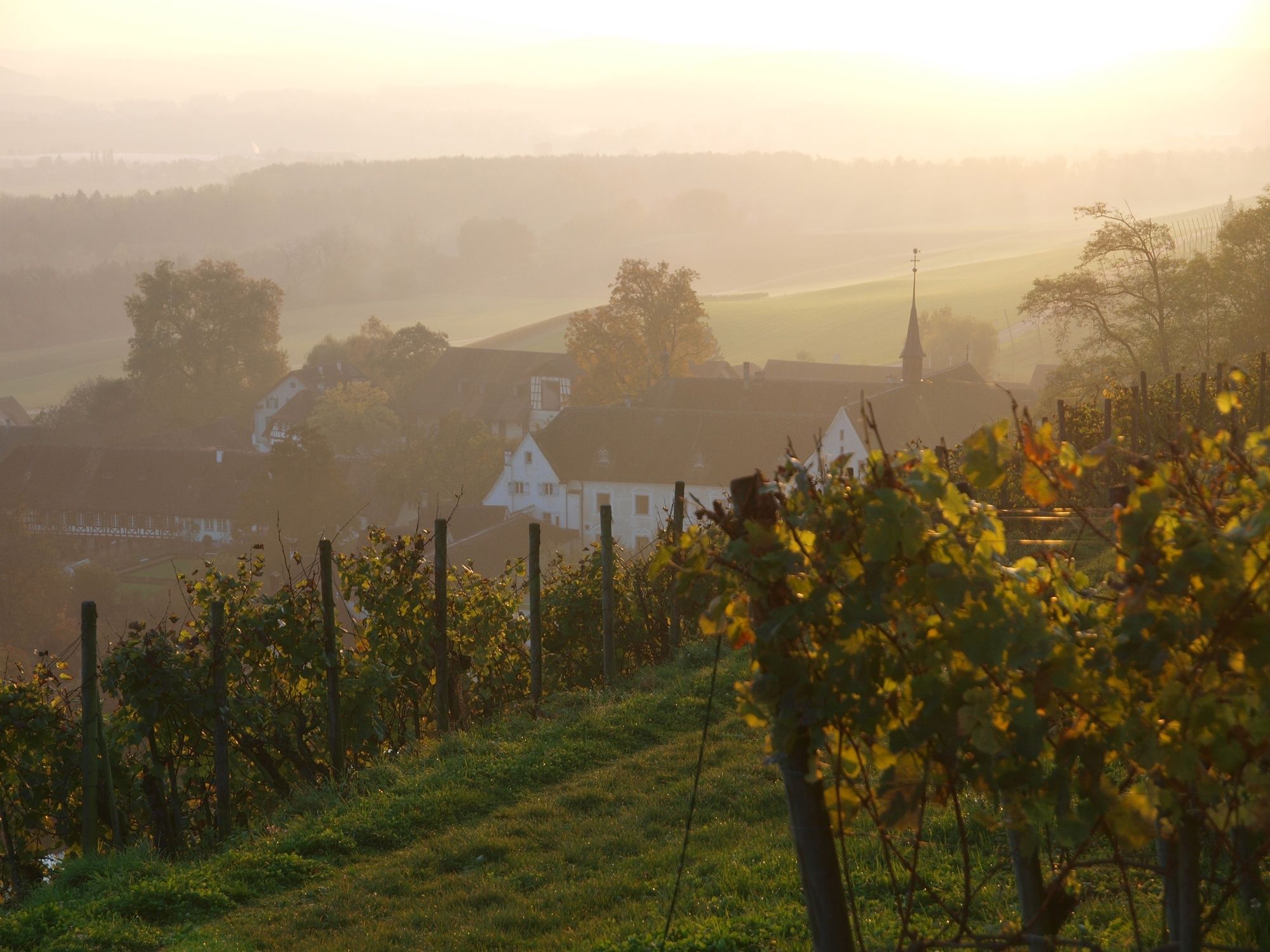
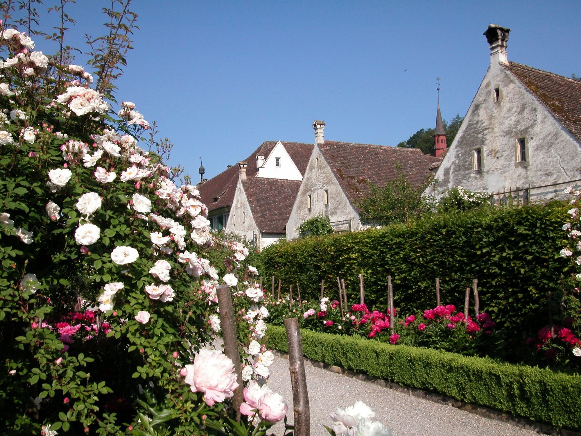
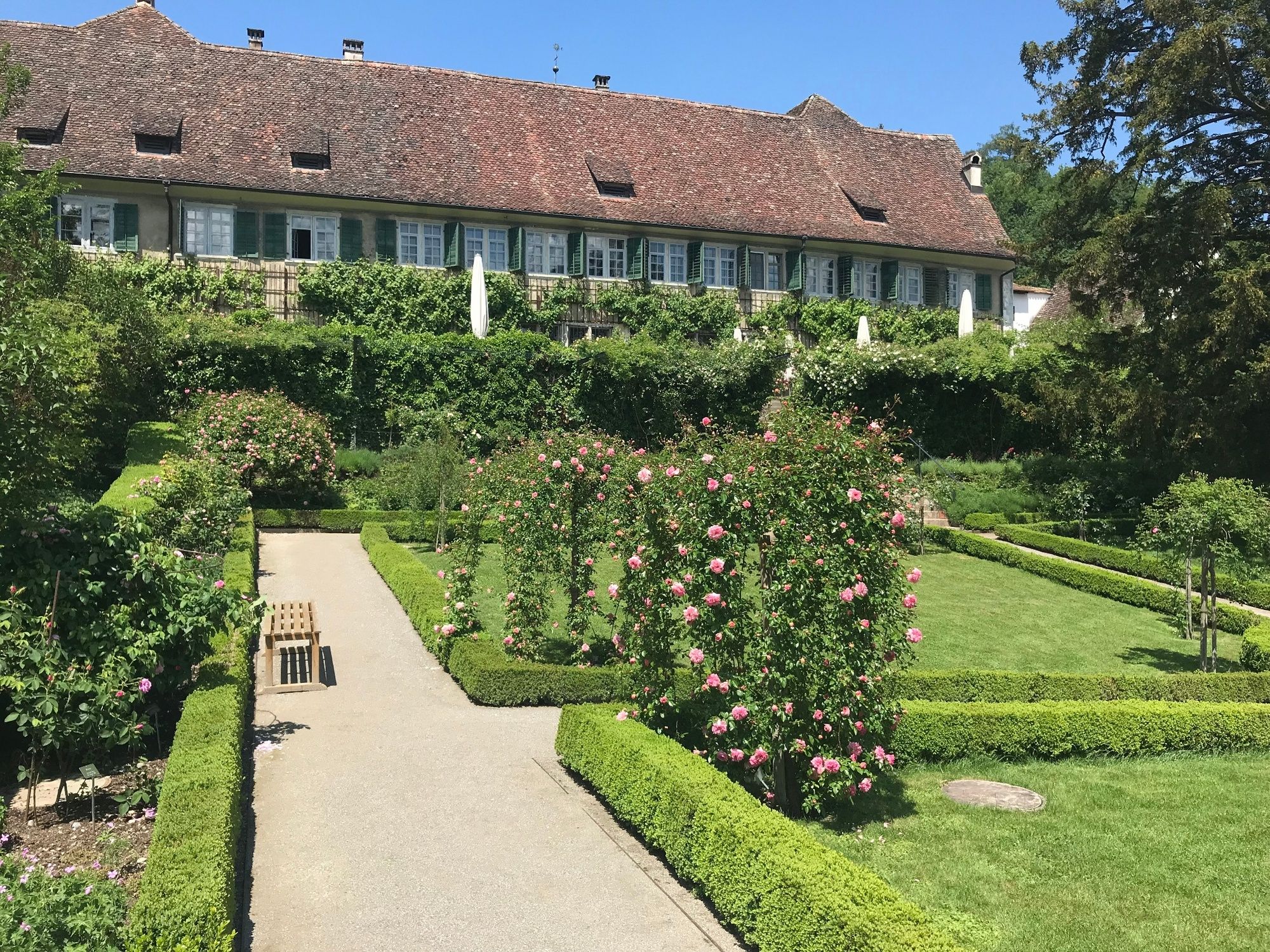
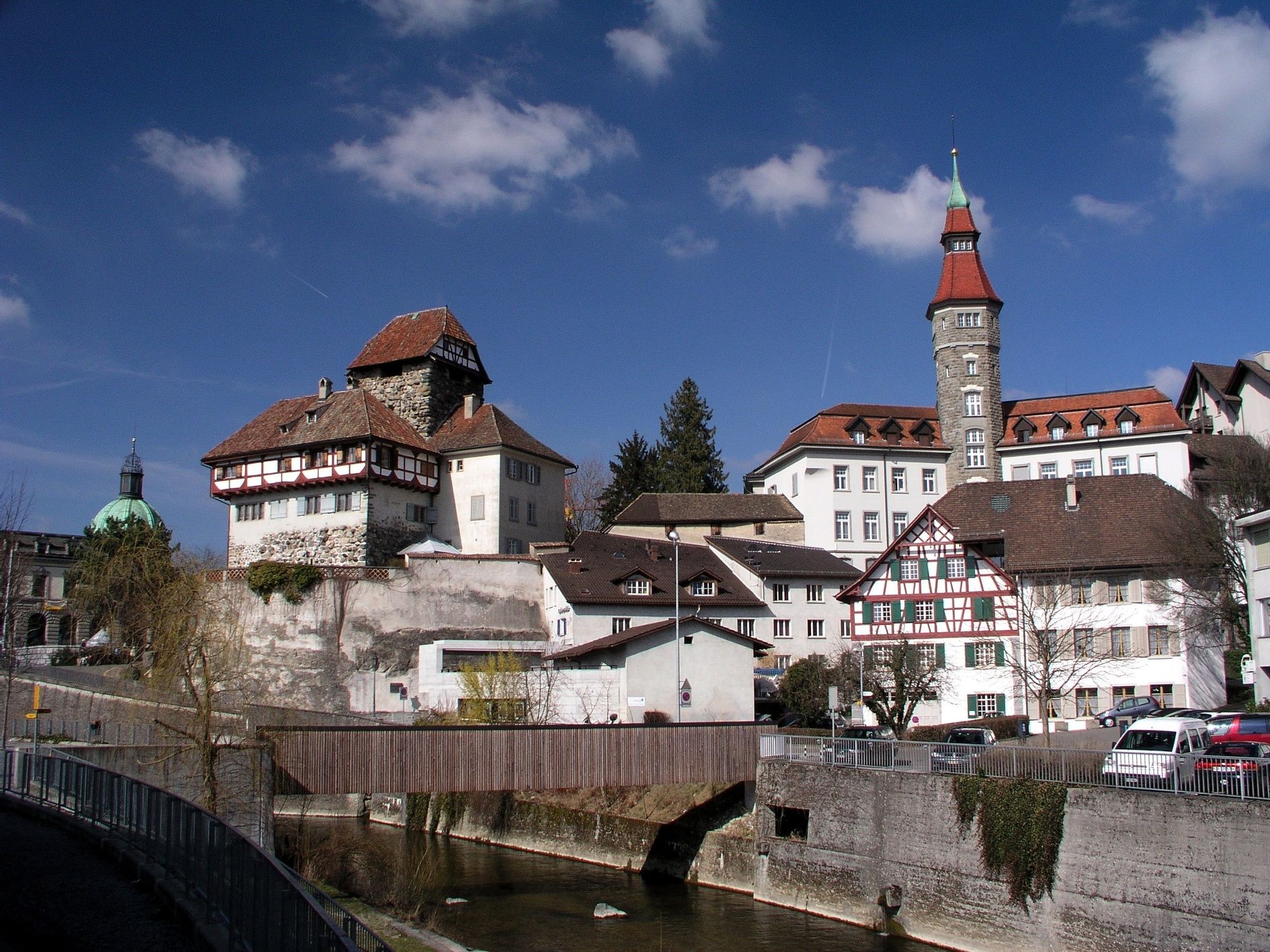
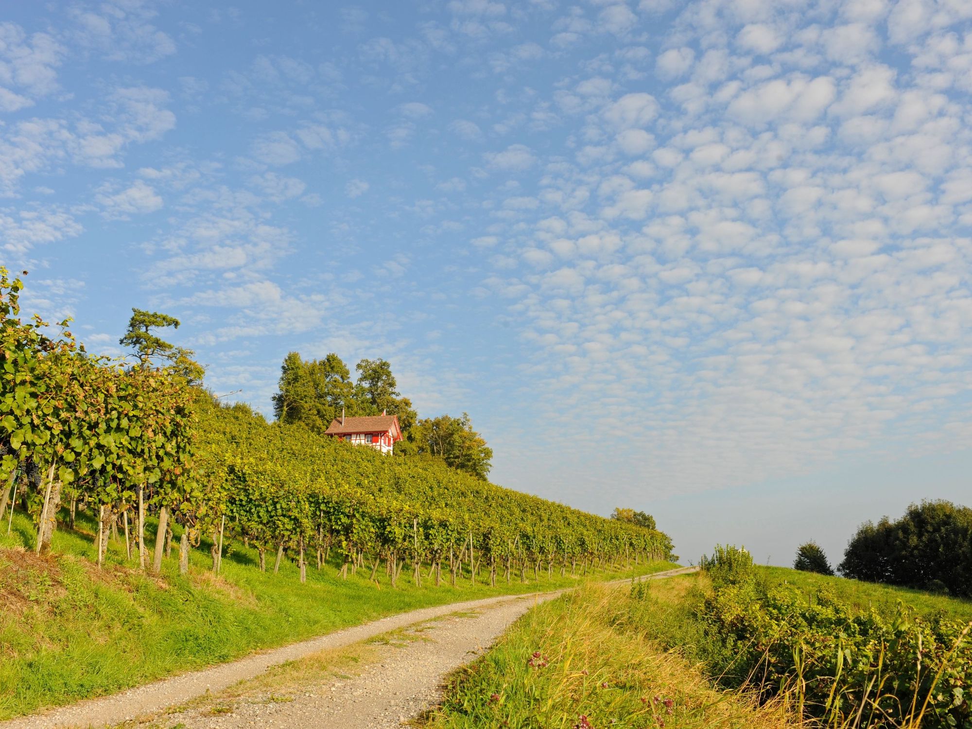
Eine aussichtsreiche Wanderung mit einzigartigem Ausblick auf das Thurtal und die fernen Alpen. Sie wandern im Rebberg über Iselisberg, die Kartause Ittingen nach Frauenfeld.
- Difficoltà
-
facile
- Valutazione
-
- Percorso
-
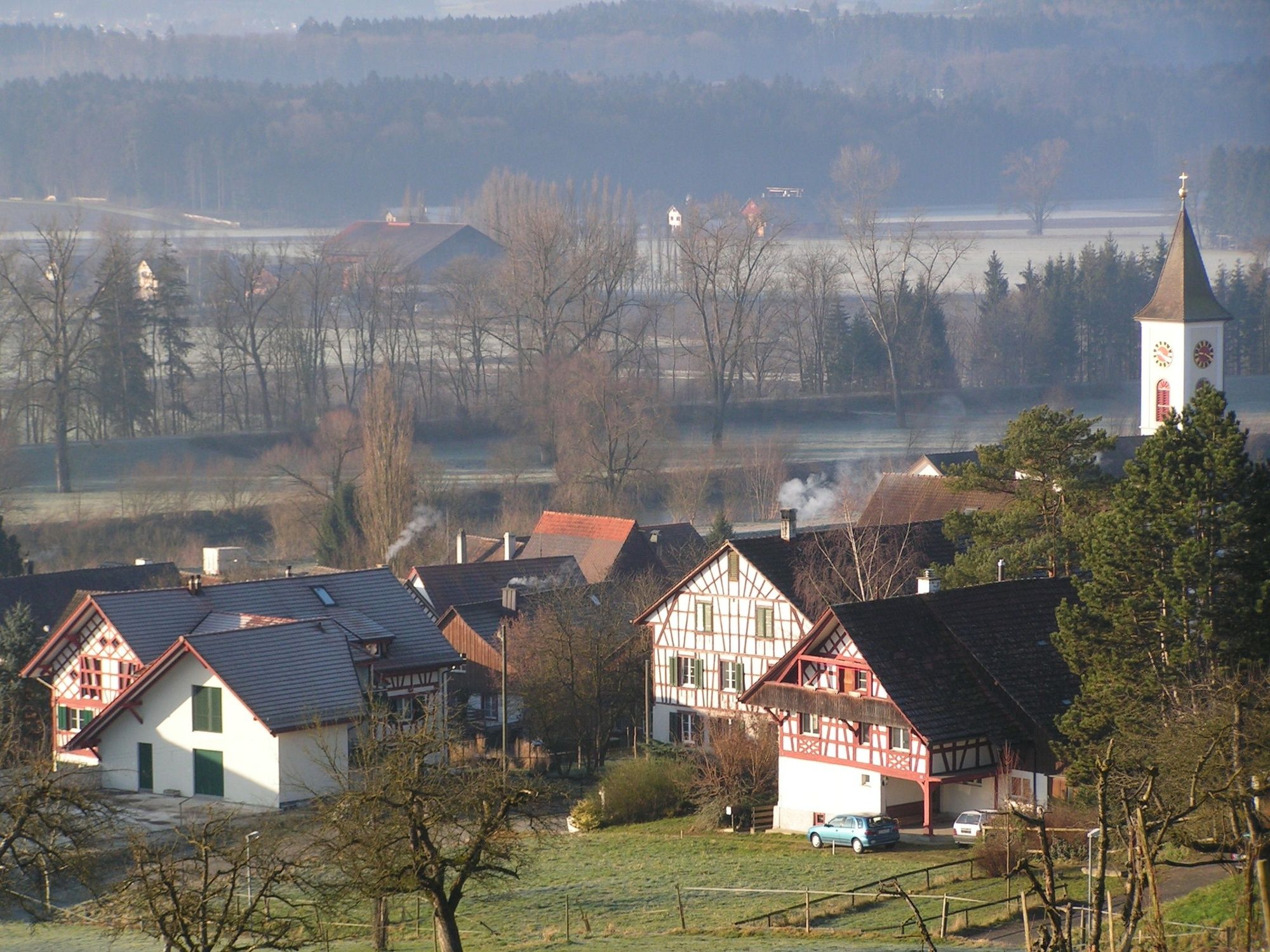
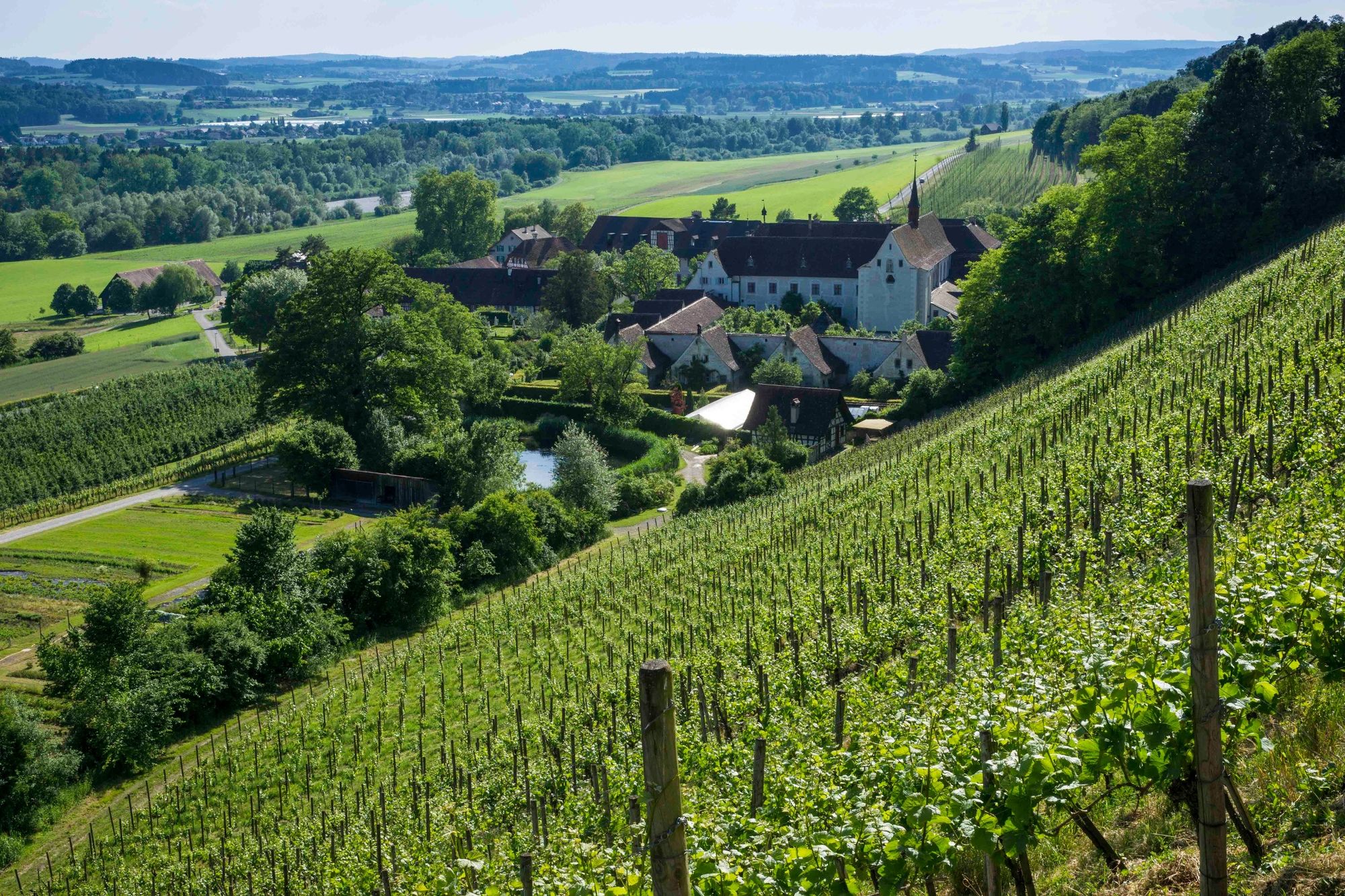
Oberneunforn0,0 kmNiederneunforn2,1 kmPünte2,8 kmLabi2,8 kmHase3,5 kmIselisberg6,1 kmBerlingerhof7,6 kmKartause Ittingen9,5 kmRestaurant Mühle9,6 kmWarth10,2 kmBreite10,5 kmWaldturm (nur geplant?)13,2 kmLindenpark14,0 kmFrauenfeld (417 m)14,1 km
- La stagione migliore
-
genfebmaraprmaggiulugagosetottnovdic
- Punto più alto
- 536 m
- Destinazione
-
Frauenfeld, Bahnhof
- Profilo altimetrico
-
 © outdooractive.com


- Autore
-
Il tour Panoramaweg Oberneunforn – Frauenfeld è utilizzato da outdooractive.com fornito.
GPS Downloads


Info generali
Punto di ristoro
Promettente
Altri tour nelle regioni
-
SchaffhauserLand
1027
-
Regio Frauenfeld
523
-
Uesslingen-Buch
106