- Descrizione rapida
-
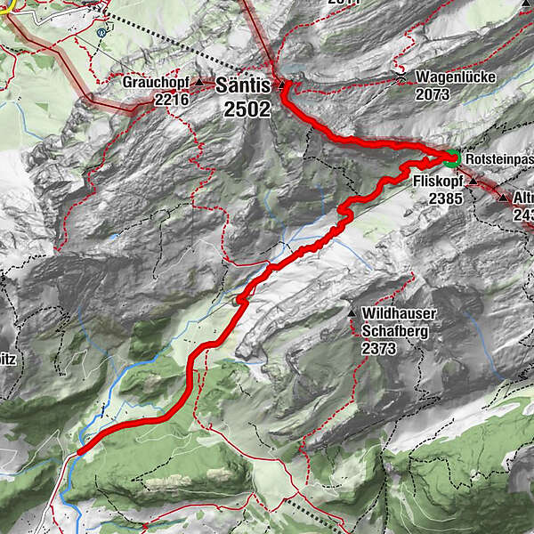
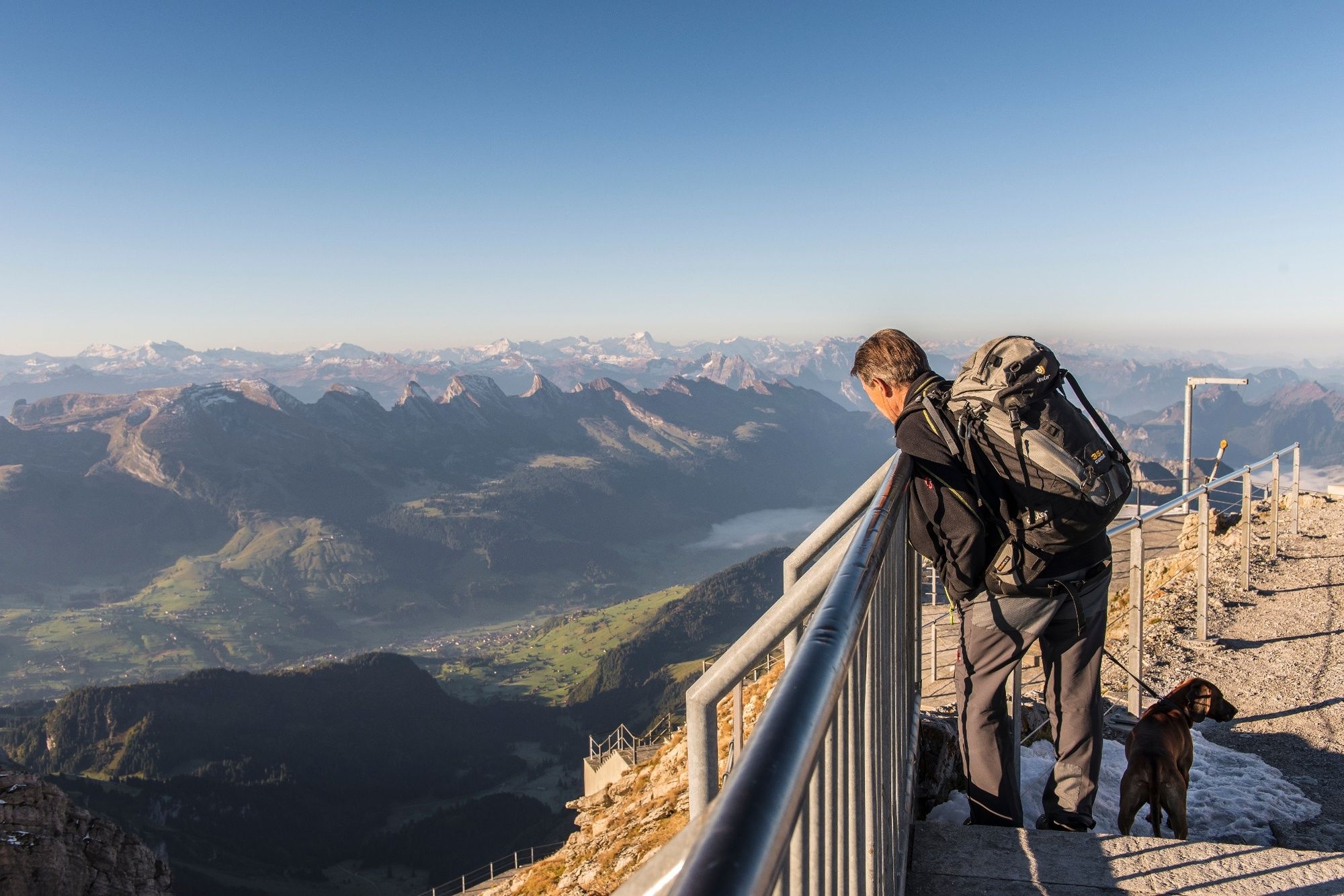
Der Weg vom Rotsteinpass über den Lisengrat zum Gipfel des Säntis lässt jedes Wandererherz höher schlagen.
- Difficoltà
-
difficile
- Valutazione
-
- Percorso
-
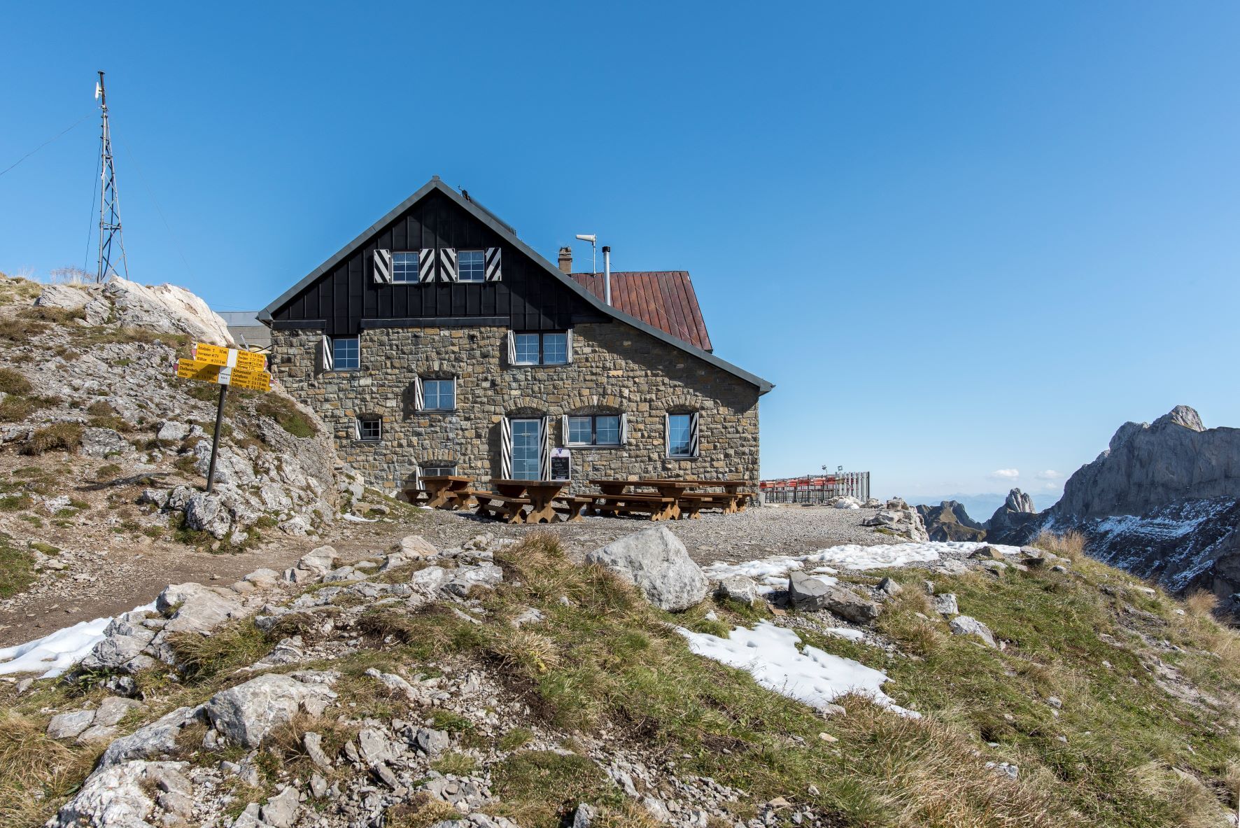
Rotsteinpass6,1 kmBerggasthaus Rotsteinpass6,2 kmWisswand7,3 kmChalbersäntis8,0 kmSäntis (2.502 m)8,4 kmBerggasthaus Alter Säntis8,5 km
- La stagione migliore
-
genfebmaraprmaggiulugagosetottnovdic
- Punto più alto
- 2.462 m
- Destinazione
-
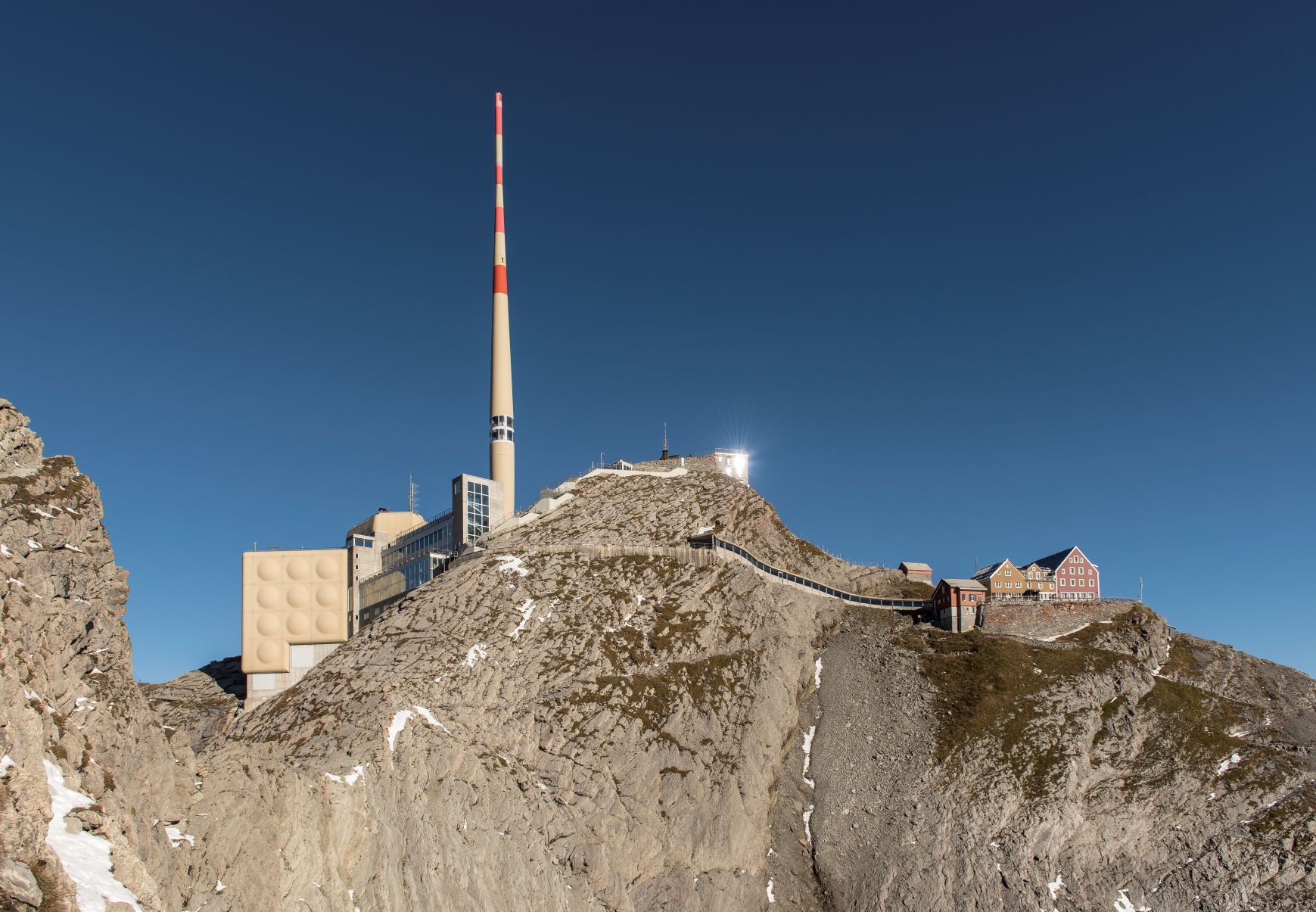
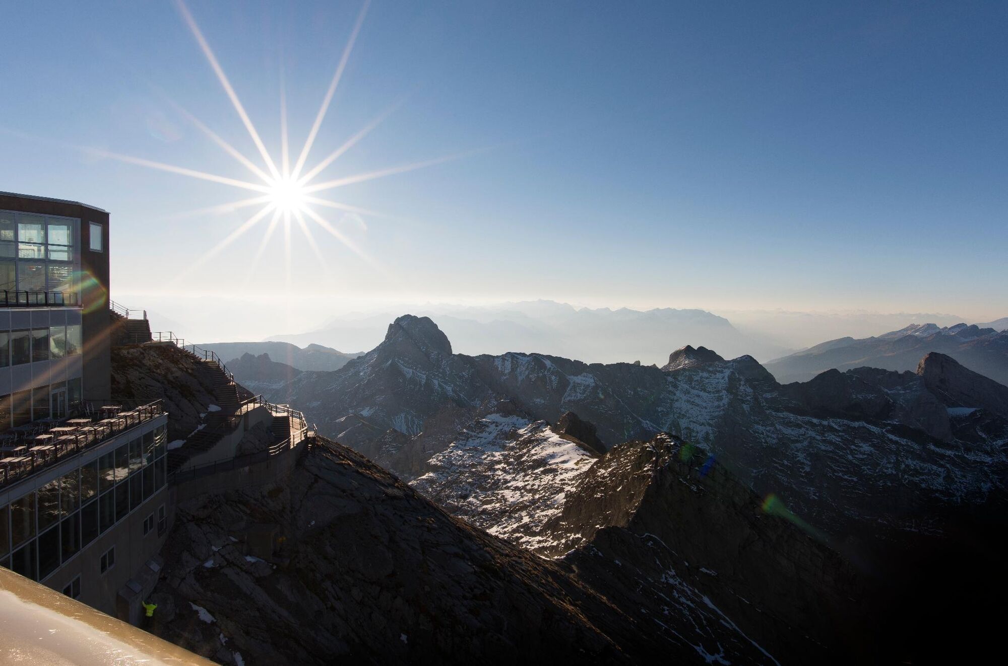
Säntis
- Profilo altimetrico
-
 © outdooractive.com
- Autore
-
Il tour Säntis – Route Rotsteinpass è utilizzato da outdooractive.com fornito.
GPS Downloads


Info generali
Punto di ristoro
Altri tour nelle regioni
-
Appenzellerland
1955
-
Ebenalp
1093
-
Säntis / Schwägalp
333