© Schaffhauserland Tourismus - Bruno Sternegg

© Regionaler Naturpark Schaffhausen

© Schaffhauserland Tourismus - Bruno Sternegg

© Regionaler Naturpark schaffhausen

© schaffhauserland-tourismus

© schaffhauserland-tourismus

© schaffhauserland-tourismus

© Schaffhauserland Tourismus - Bruno Sternegg

© Regionaler Naturpark Schaffhausen
- Descrizione rapida
-
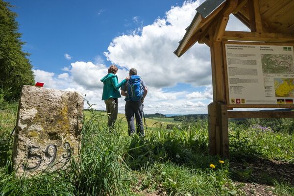
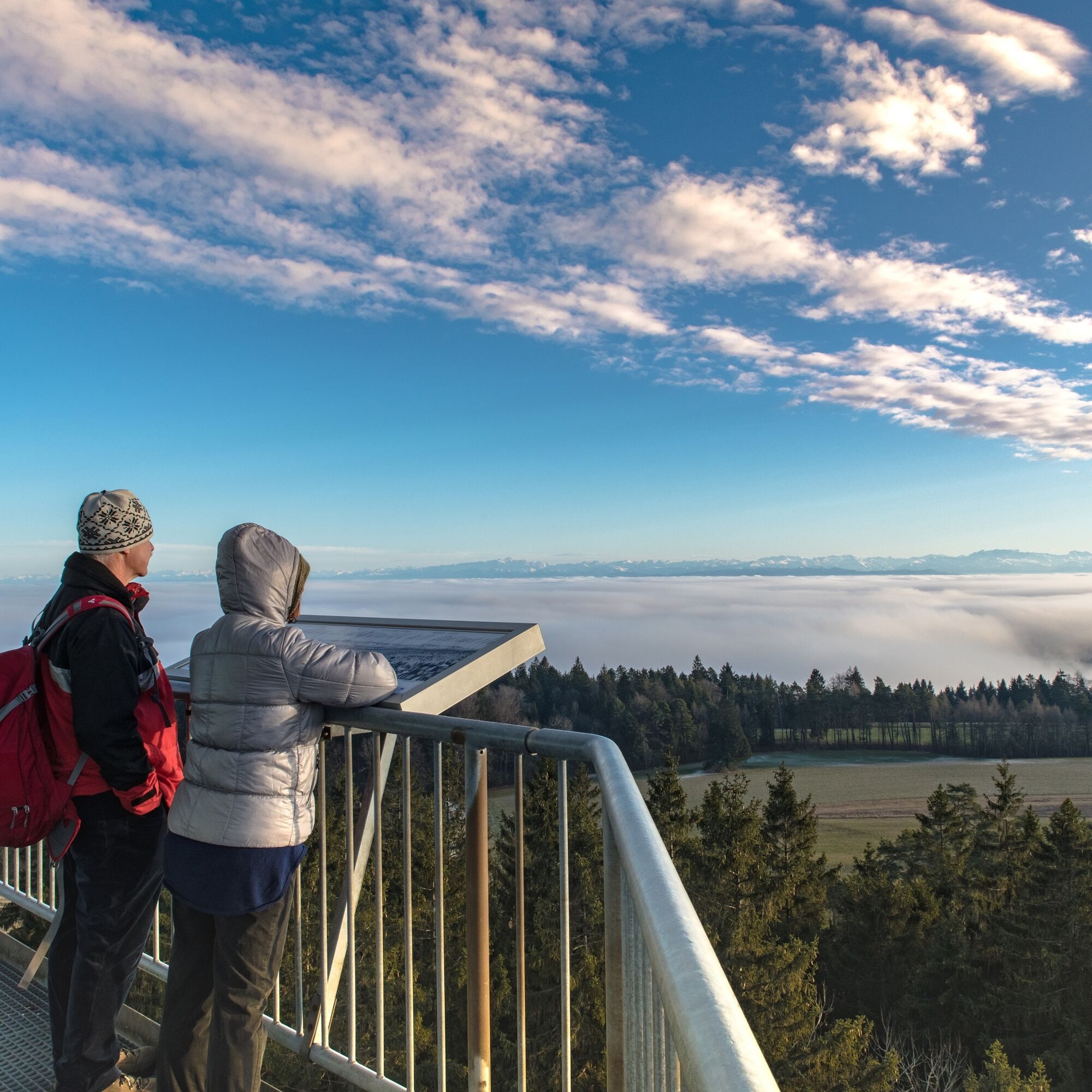
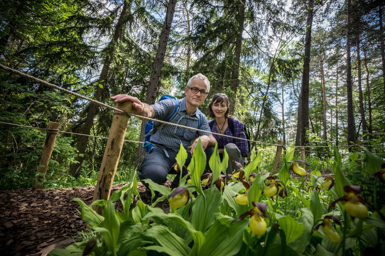
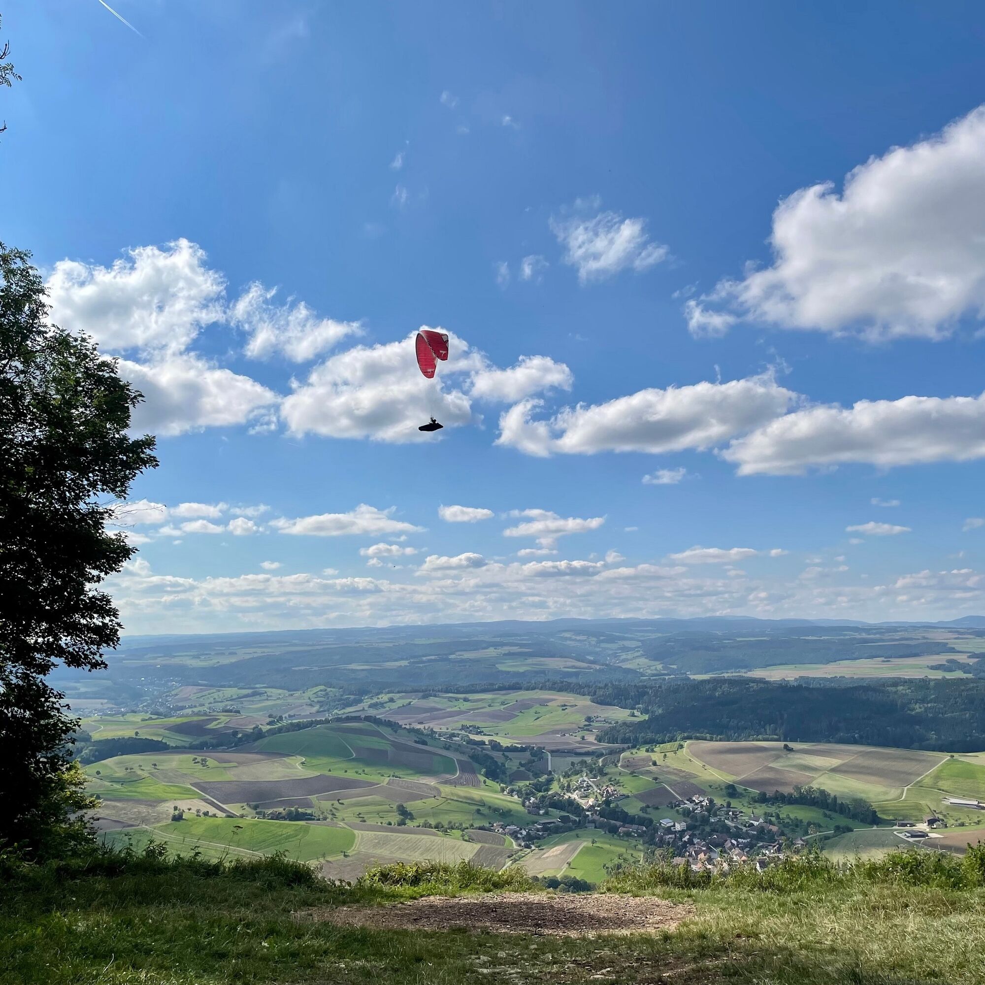
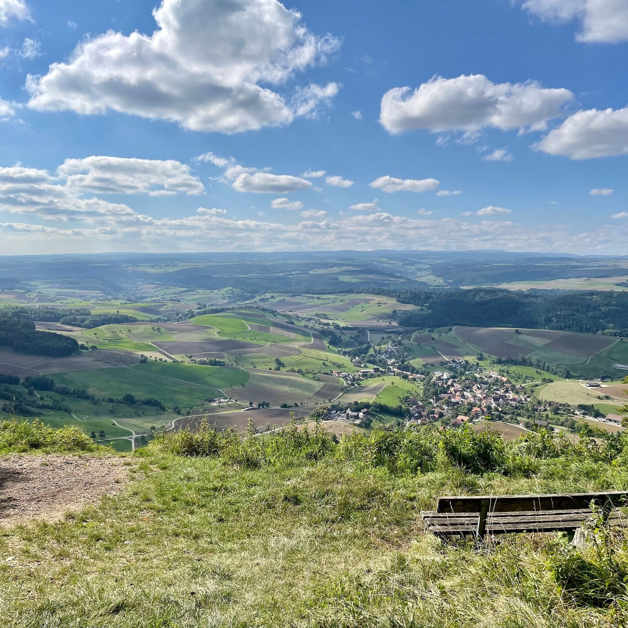
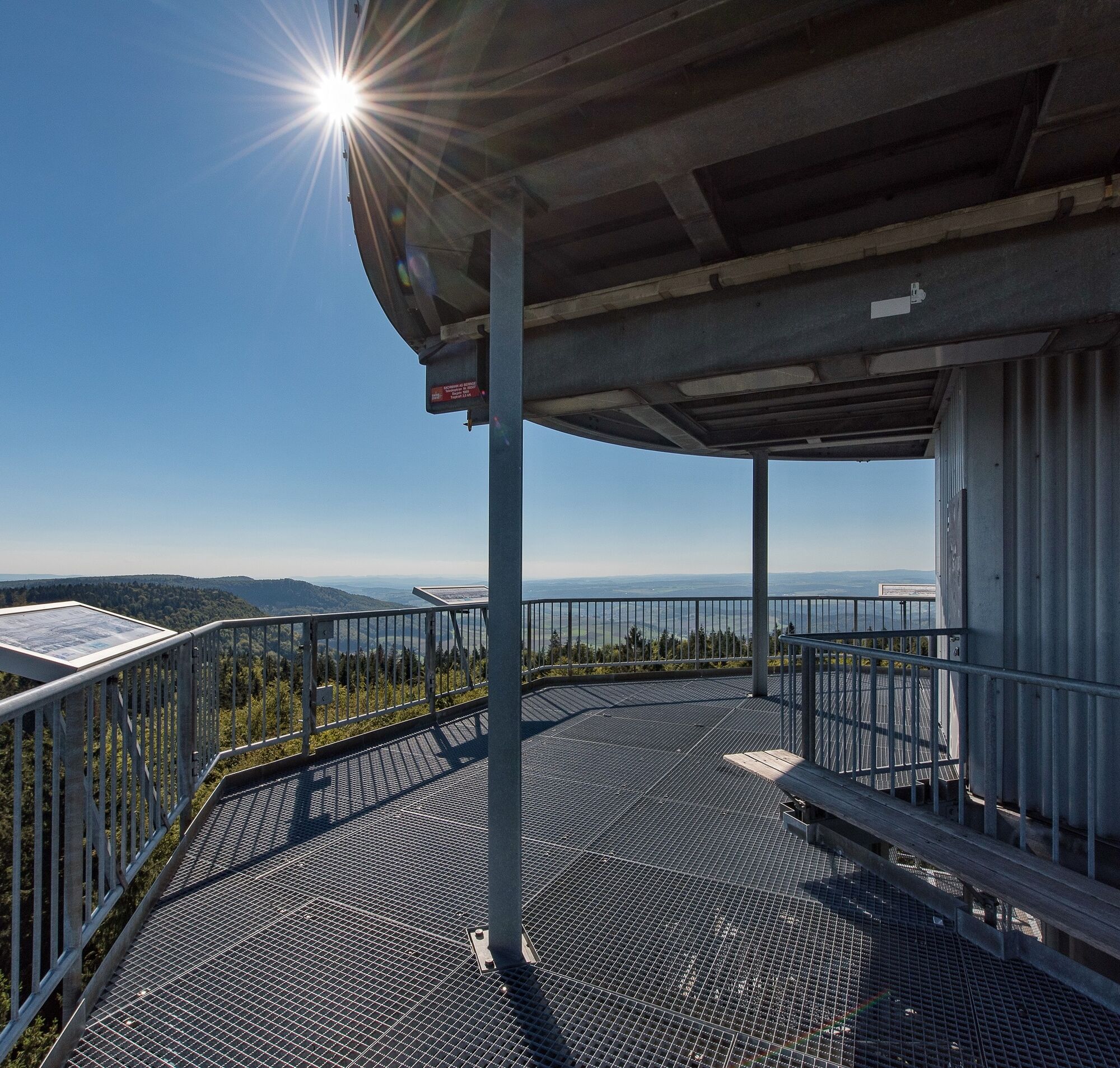
The route takes you past lookout towers which, among other things, give you a fantastic view over the Klettgau region.
- Difficoltà
-
intermedio
- Valutazione
-
- Percorso
-
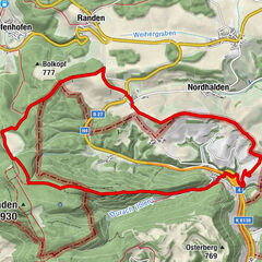
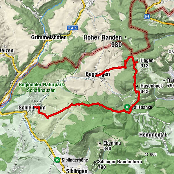
Gasthaus zur BrauereiSchleitheim (467 m)Ref. Kirche Schleitheim0,0 kmStrickhof2,8 kmWaldwirtschaft Schlossranden4,8 kmZelgli5,7 kmHagen (912 m)10,6 kmBeggingen14,2 km
- La stagione migliore
-
genfebmaraprmaggiulugagosetottnovdic
- Punto più alto
- 904 m
- Destinazione
-
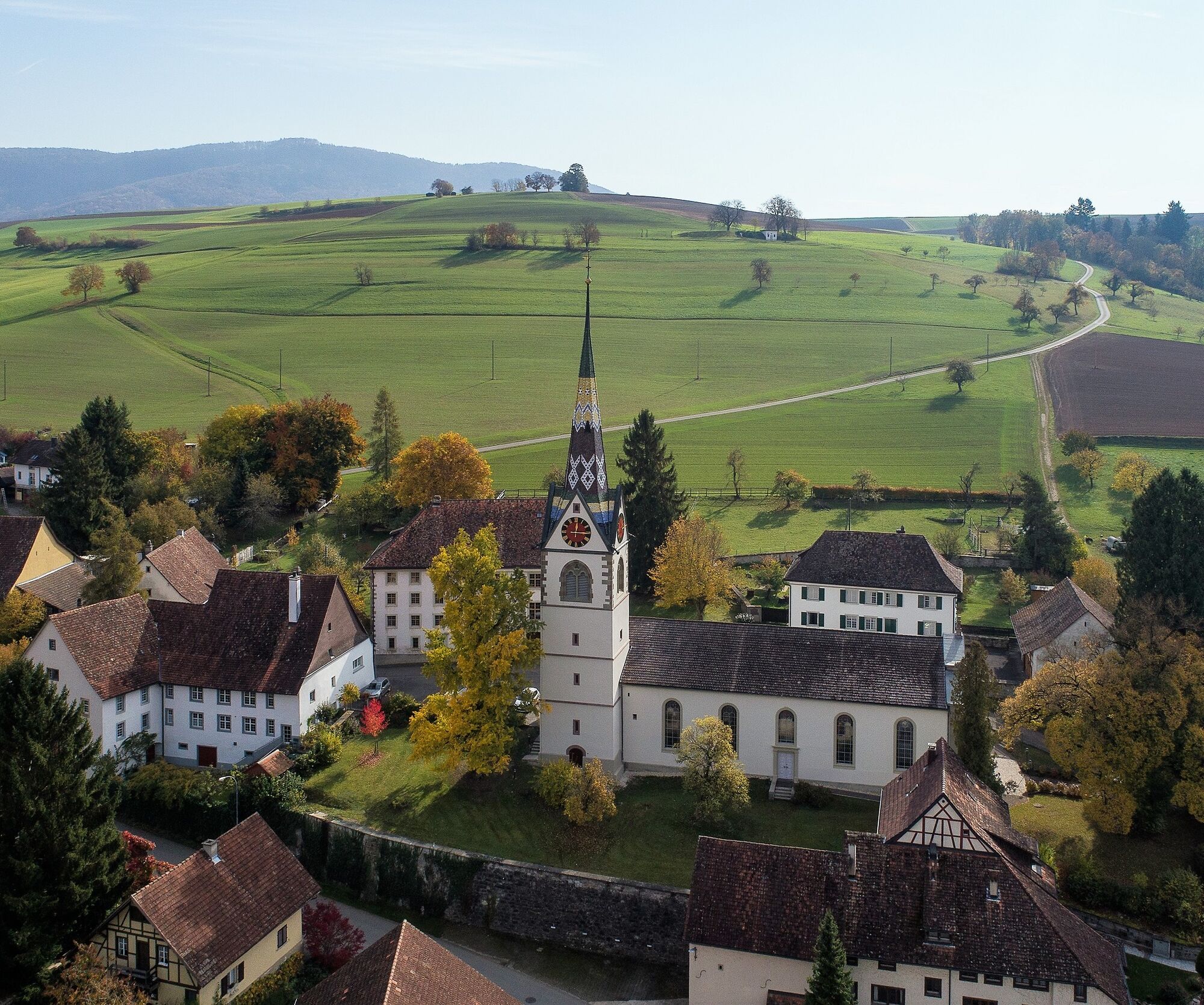
Beggingen village
- Profilo altimetrico
-
 © outdooractive.com
- Autore
-
Il tour Randen - Hagentour (Schleitheim-Beggingen) è utilizzato da outdooractive.com fornito.
GPS Downloads


Info generali
Promettente
Altri tour nelle regioni
-
SchaffhauserLand
1027
-
Randen
547
-
Beggingen
175