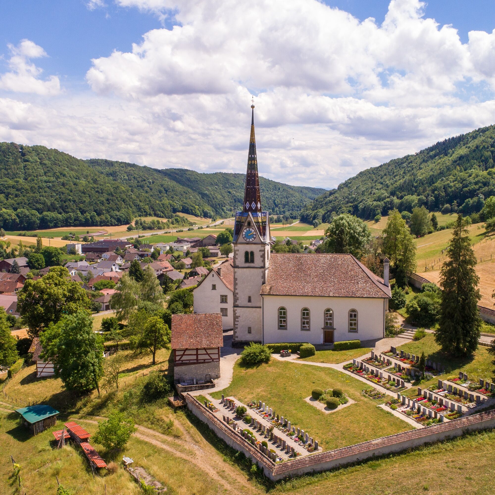
© Schaffhauserland Tourismus - Bruno Sternegg

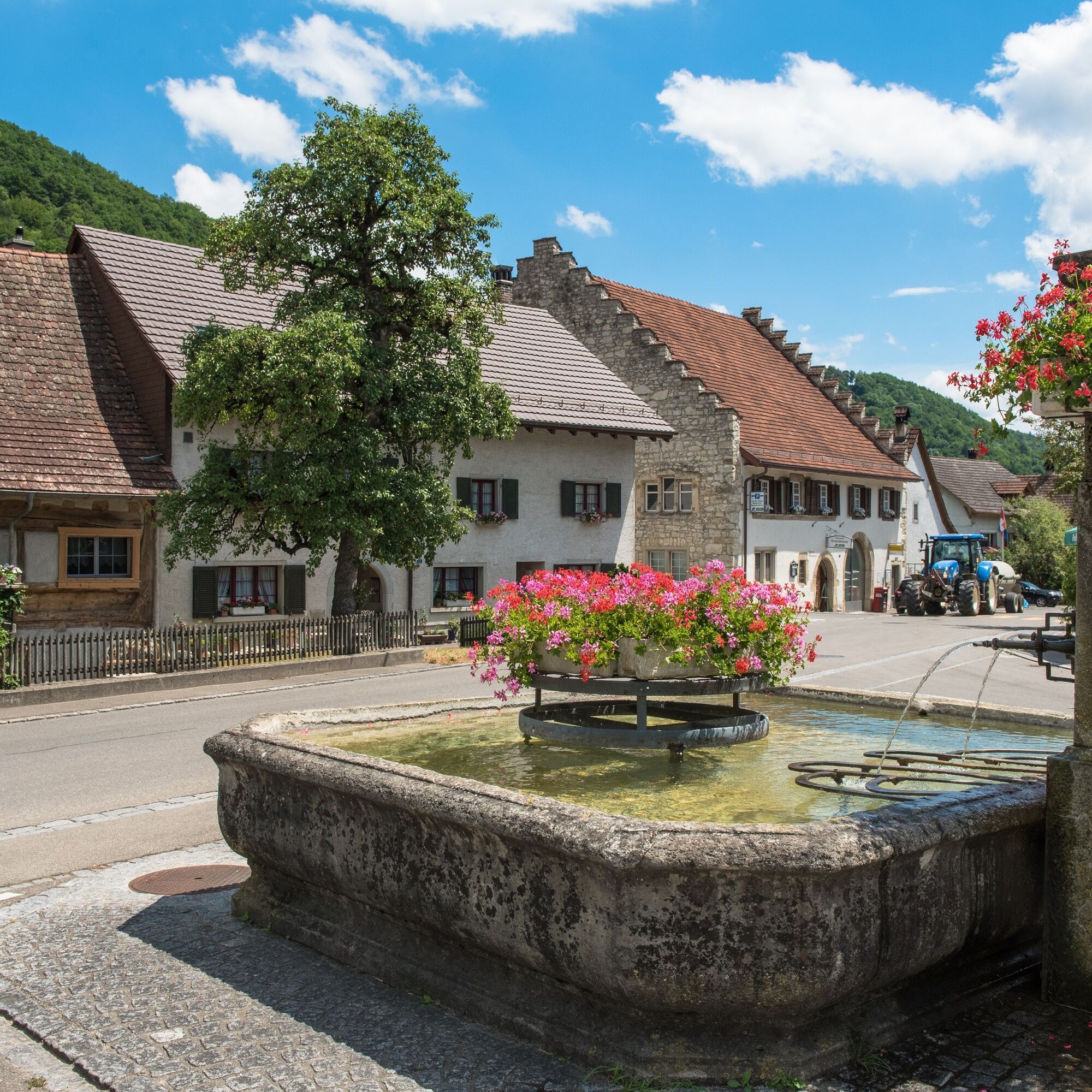
© Schaffhauserland Tourismus - Bruno Sternegg

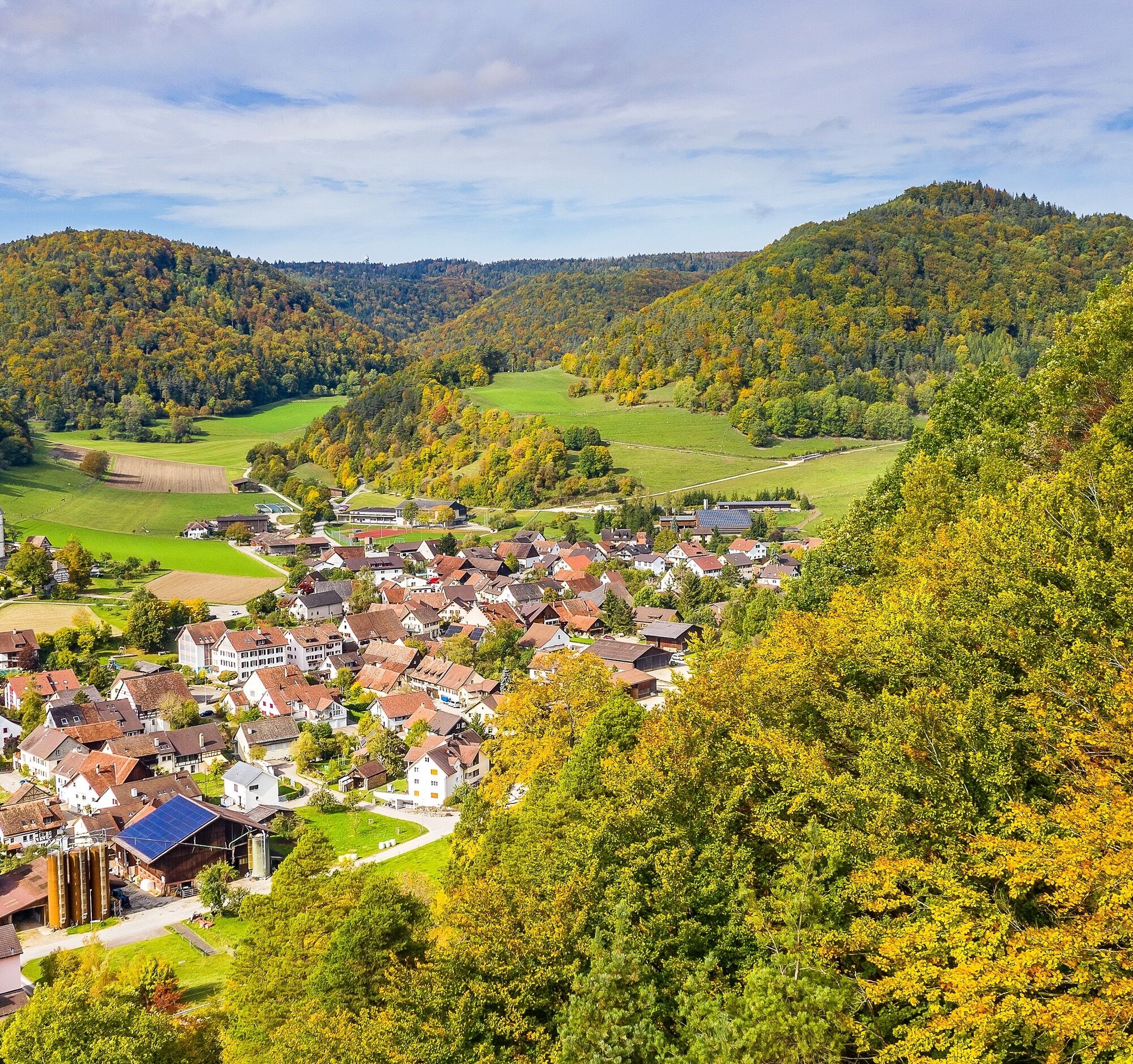
© Schaffhauserland Tourismus - Bruno Sternegg

© Schaffhauserland Tourismus - Bruno Sternegg
- Descrizione rapida
-
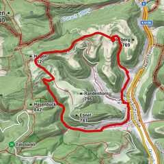
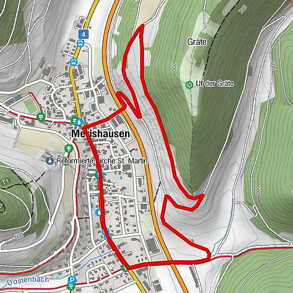
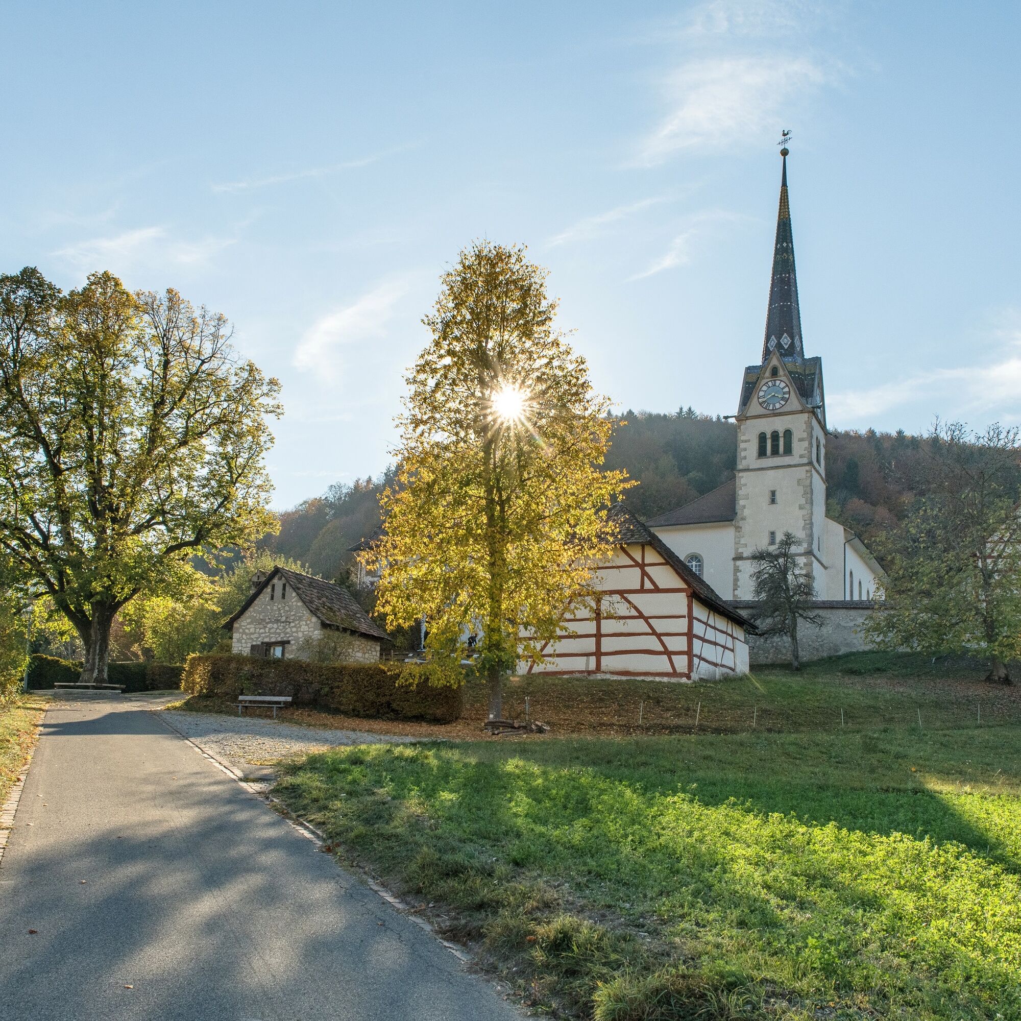
The hiking route along the Sonnenhang offers a beautiful panoramic view of the village. There are many beautifully designed benches along the route
- Difficoltà
-
facile
- Valutazione
-
- Percorso
-
Restaurant Gemeindehaus2,4 kmRest. Kranz2,4 kmMerishausen (533 m)2,5 km
- La stagione migliore
-
genfebmaraprmaggiulugagosetottnovdic
- Punto più alto
- 600 m
- Destinazione
-
Merishausen, Langwies
- Profilo altimetrico
-
 © outdooractive.com
- Autore
-
Il tour Nature trail Merishausen: Route Red è utilizzato da outdooractive.com fornito.
GPS Downloads


Info generali
Punto di ristoro
Promettente
Altri tour nelle regioni
-
SchaffhauserLand
1029
-
Reiat
474
-
Merishausen
178