- Descrizione rapida
-
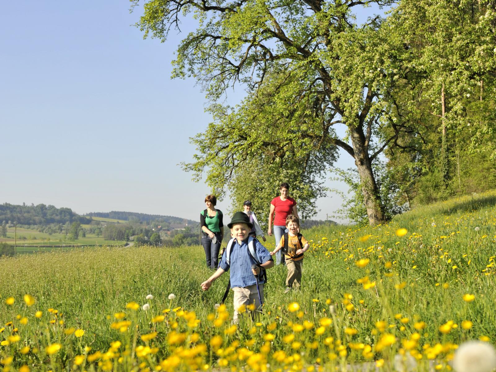
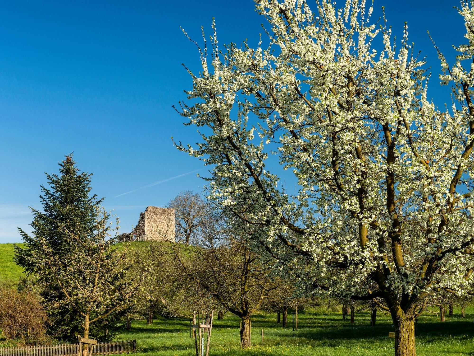
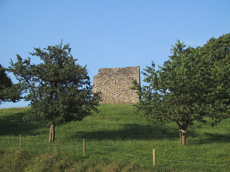
Der Geo-Weg macht auf die unterschiedliche Nutzung des Bodens und die geschichtlichen Spuren, die noch vielfältig vorhanden sind, aufmerksam.
- Difficoltà
-
facile
- Valutazione
-
- Percorso
-
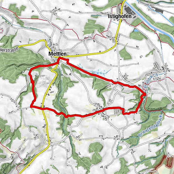
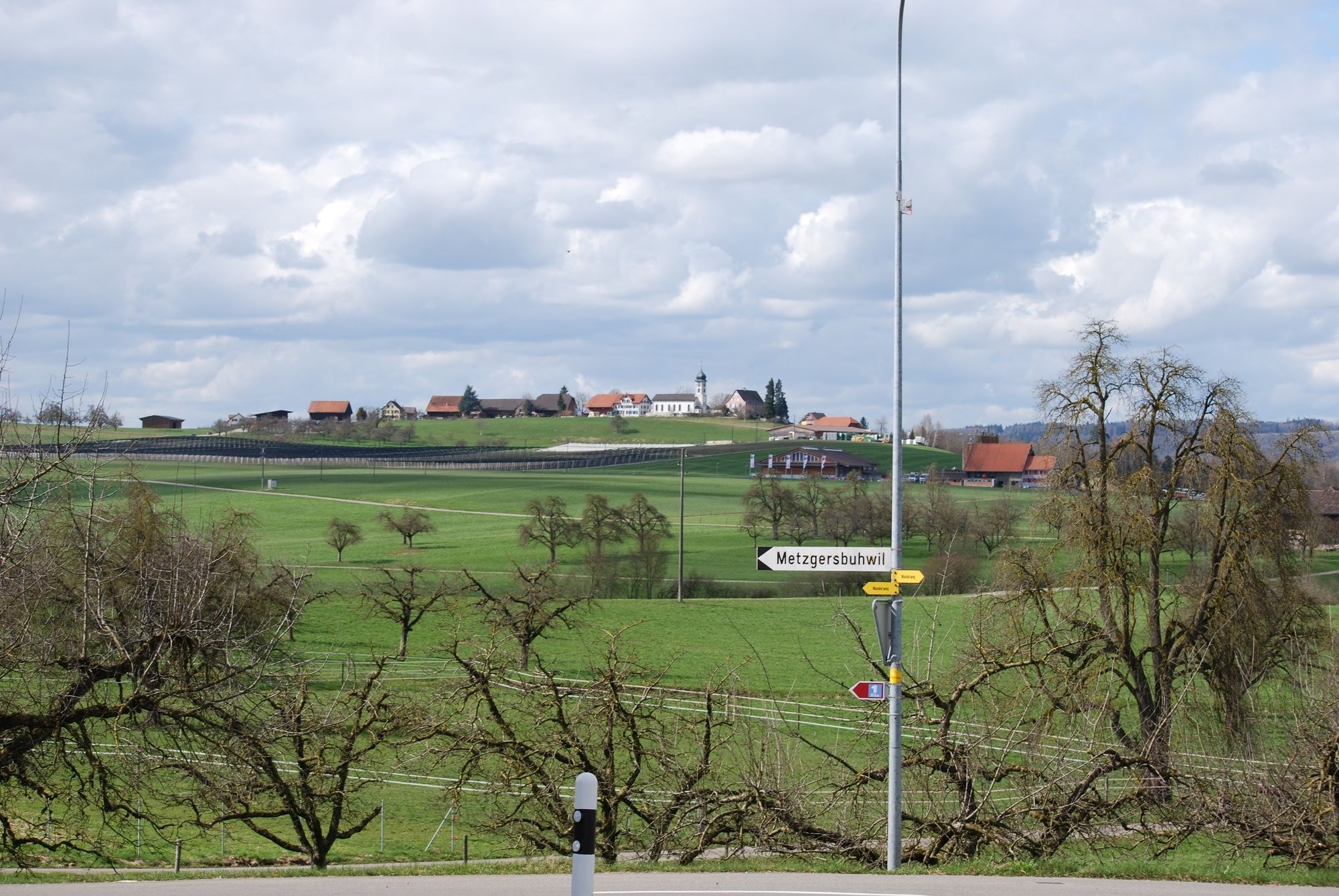
Schönholzerswilen0,1 kmBurgstogg (549 m)3,0 kmMettlen4,3 kmAspe5,4 kmMetzgersbuhwil6,4 kmRitzisbuhwil6,8 kmHintermühle7,3 kmImmenberg8,1 kmSchönholzerswilen9,3 km
- La stagione migliore
-
genfebmaraprmaggiulugagosetottnovdic
- Punto più alto
- 589 m
- Destinazione
-
Schönholzerswilen, Dorfplatz
- Profilo altimetrico
-
 © outdooractive.com
- Autore
-
Il tour Geo-Weg Schönholzerswilen è utilizzato da outdooractive.com fornito.
GPS Downloads


Altri tour nelle regioni
-
Thurgau Bodensee
1433
-
Weinfelden
494
-
Bürglen TG
85