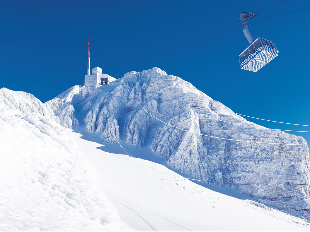
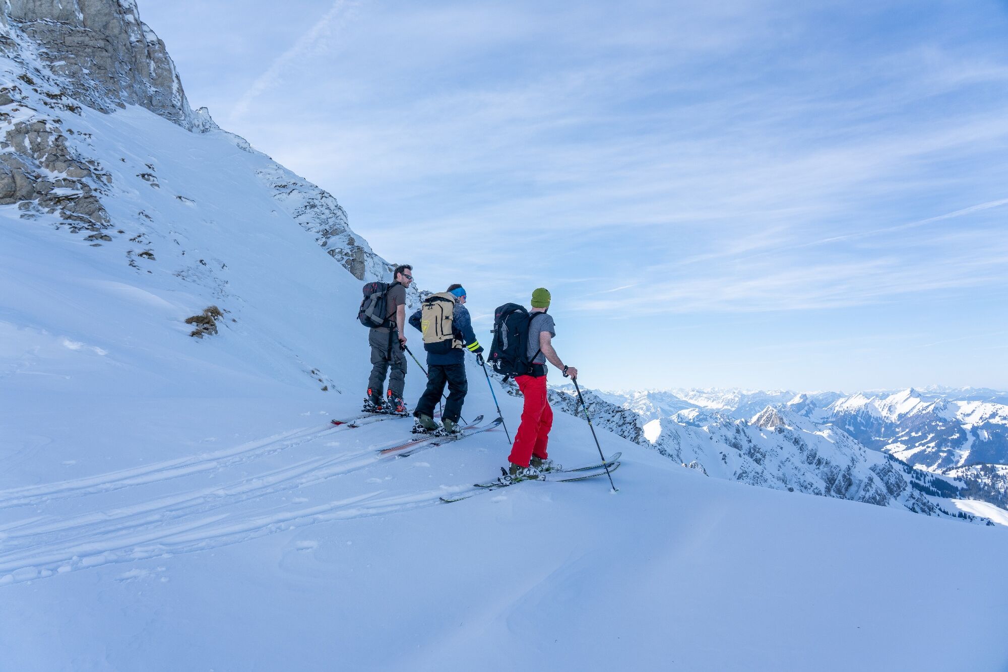
Skitour: Säntis - Meglisalp - Rotsteinpass - Unterwasser

Sciescursionismo


- Descrizione rapida
-
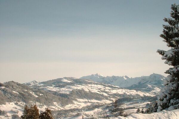
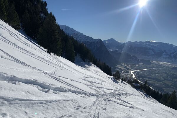
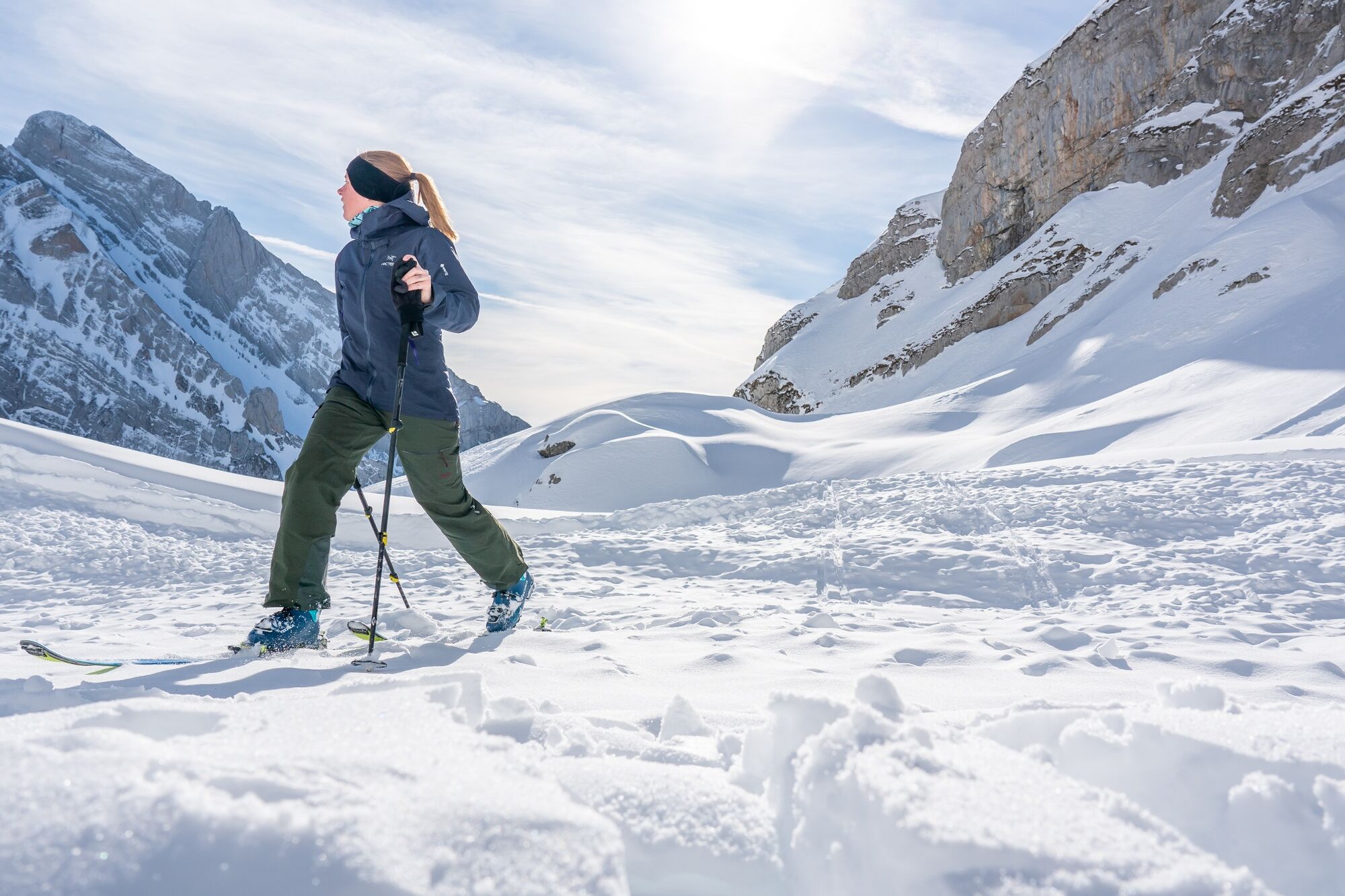
Eine Skitour im Toggenburg mit hochalpinem Charakter vom Säntis, über die Meglisalp - Rotsteinpass, hinunter nach Unterwasser.
- Difficoltà
-
difficile
- Valutazione
-
- Percorso
-
Säntis0,0 kmMeglisalp (1.517 m)3,4 kmMeglisalp3,5 kmBerggasthaus Rotsteinpass6,2 kmBergrestaurant Gamplüt10,9 kmGamplüt (1.357 m)10,9 kmLaui14,0 kmÄlpli15,0 kmThurfälle15,8 kmUnterwasser16,3 km
- La stagione migliore
-
agosetottnovdicgenfebmaraprmaggiulug
- Punto più alto
- 2.422 m
- Destinazione
-
Unterwasser
- Exposition
- Profilo altimetrico
-
 © outdooractive.com
-

-
AutoreIl tour Skitour: Säntis - Meglisalp - Rotsteinpass - Unterwasser è utilizzato da outdooractive.com fornito.
GPS Downloads


Info generali
Punto di ristoro
Promettente
Altri tour nelle regioni
-
Appenzellerland
50
-
Ebenalp
27
-
Säntis / Schwägalp
10