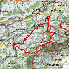
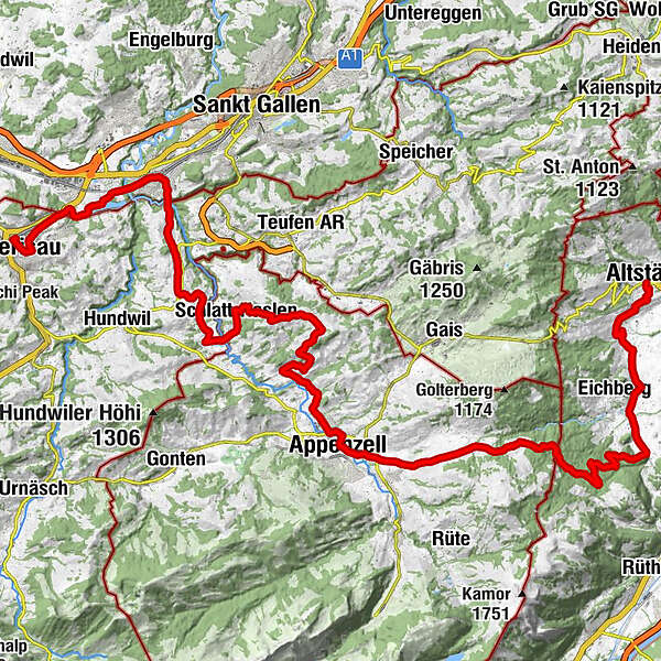
Herzroute - From the Appenzell region to the Rhine Valley

Bicicletta

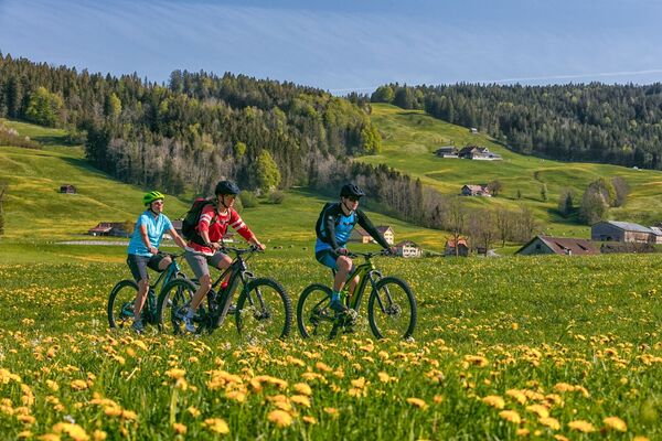
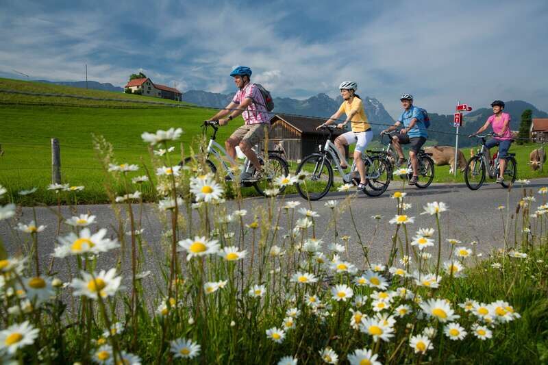
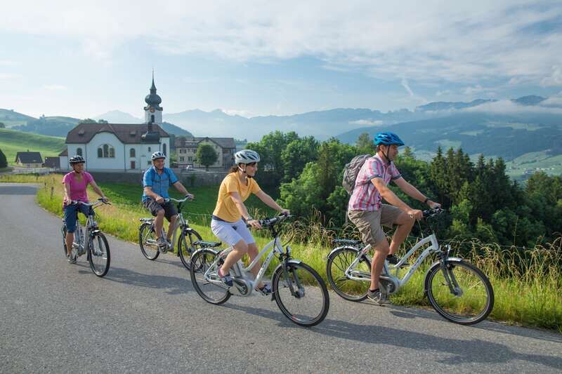
© Appenzellerland Tourismus AR - Jana Bacher

© Appenzellerland Tourismus AR - Jana Bacher

© Appenzellerland Tourismus AR - Jana Bacher
- Descrizione rapida
-
Die Herzroute beehrte die Region!
- Difficoltà
-
intermedio
- Valutazione
-
- Percorso
-
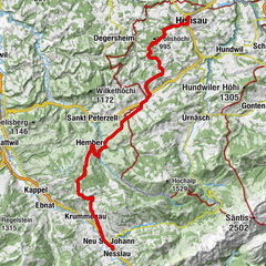
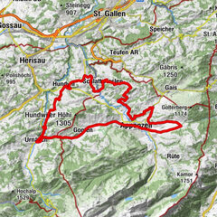
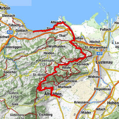
Evangelisch-reformierte Kirche0,6 kmHerisau (771 m)0,6 kmVineyard Herisau0,7 kmSan Gallo (675 m)6,5 kmKapelle St. Wolfgang7,1 kmGasthaus Schäfli7,8 kmReformierte Kirche10,0 kmOchsen10,0 kmStein AR10,3 kmStöcken12,1 kmRestaurant Linde14,3 kmSchlatt-Haslen14,7 kmRestaurant Krone14,8 kmWallfahrtskirche Maria Hilf14,8 kmSan Gallo (675 m)15,6 kmOberes Nördli16,8 kmVorderberg17,2 kmLeimensteig17,7 kmSchobel18,7 kmKatholische Kirche St.Josef20,1 kmAppenzell Schlatt20,1 kmRestaurant Anker21,7 kmKappelle St. Karl23,5 kmZiel24,3 kmSonnhalde24,9 kmLourdeskappelle24,9 kmAppenzell (778 m)25,3 kmWirtschaft Altes Bild29,2 kmEggerstanden (892 m)29,3 kmNeues Bild29,3 kmFuchsplatz36,4 kmOderen39,4 kmAu39,8 kmHinterforst42,0 kmMattenhof42,3 kmAltstätten45,3 kmAltstätten Stadt (469 m)45,4 km
- La stagione migliore
-
genfebmaraprmaggiulugagosetottnovdic
- Punto più alto
- 980 m
- Destinazione
-
Altstätten
- Profilo altimetrico
-
 © outdooractive.com

- Autore
-
Il tour Herzroute - From the Appenzell region to the Rhine Valley è utilizzato da outdooractive.com fornito.
GPS Downloads


Info generali
Punto di ristoro
Promettente
Altri tour nelle regioni
-
Appenzellerland
236
-
Appenzell Ausserrhoden
105
-
Bühler
36