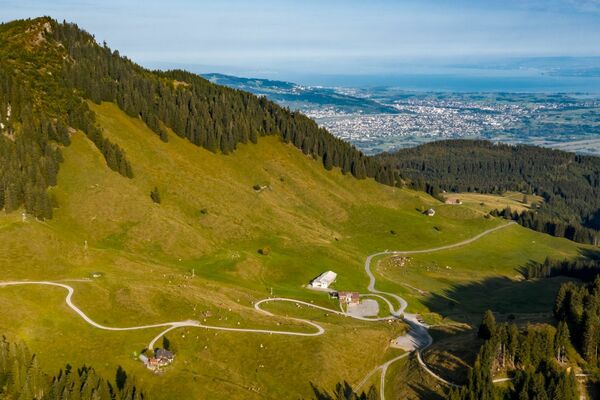
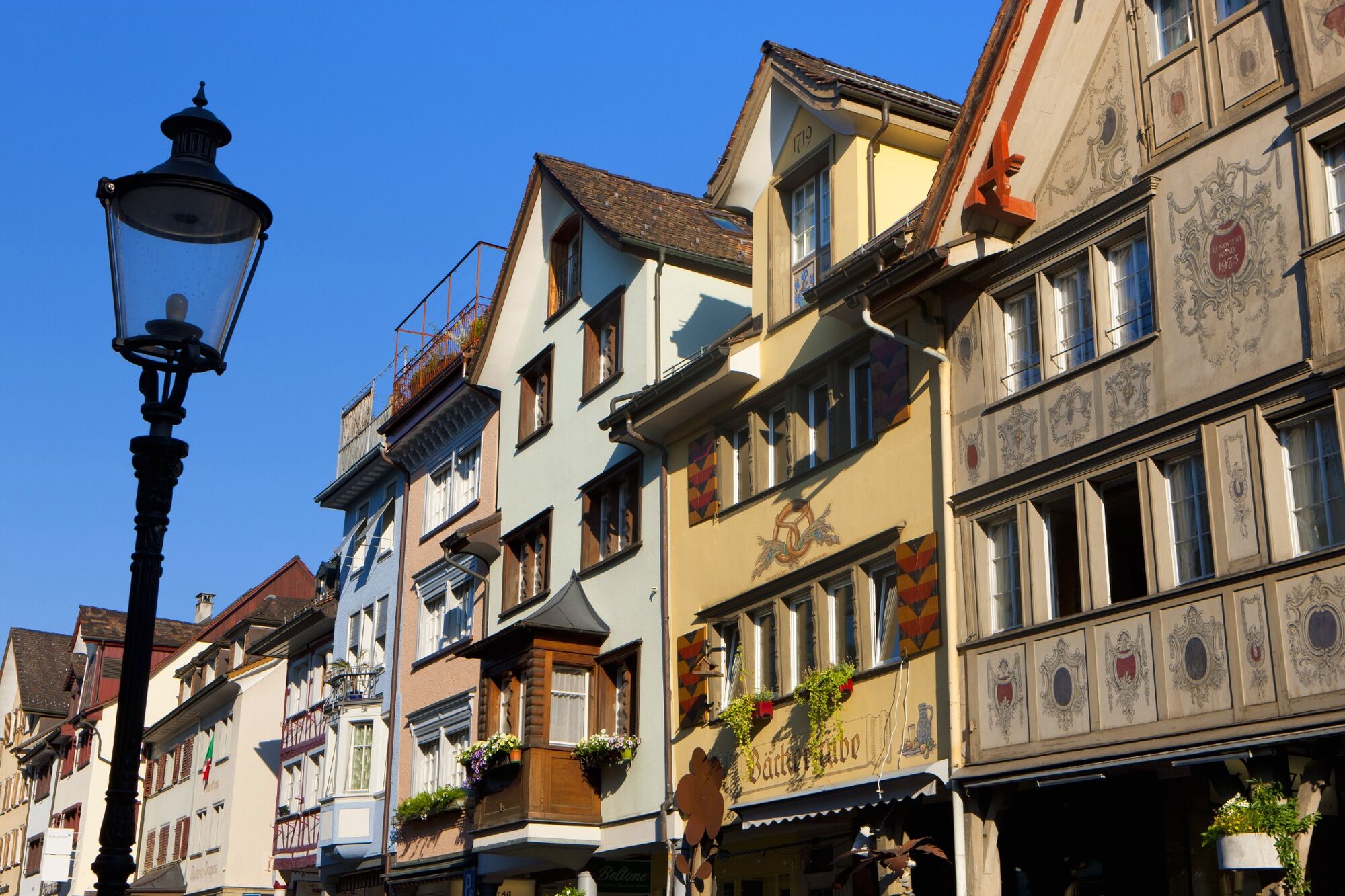
© Christoph Sonderegger - St.Gallen-Bodensee Tourismus

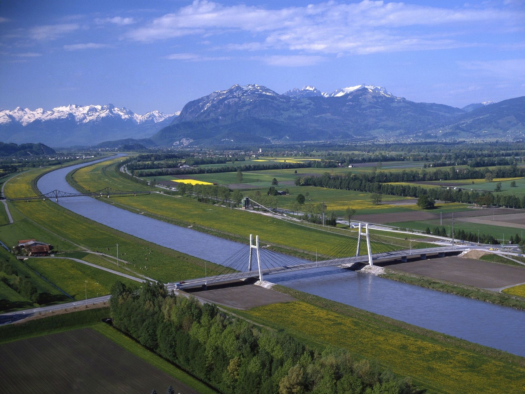
© Roland Gerth - St.Gallen-Bodensee Tourismus
- Descrizione rapida
-
In just three days by bike right across the entire Principality of Liechtenstein and the Rhine Valley.
- Difficoltà
-
intermedio
- Valutazione
-
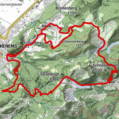
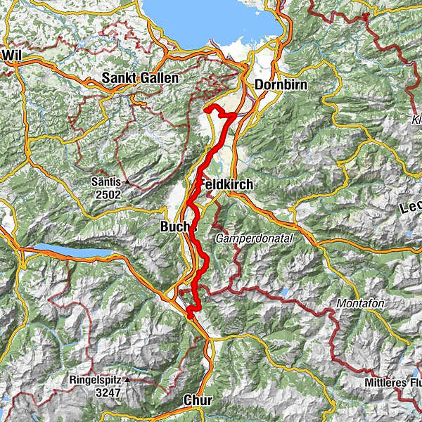
- Percorso
-
AltstättenAltstätten (430 m)0,9 kmKriessern7,8 kmMontlingen13,7 kmBüchel (426 m)21,3 kmRuggell (433 m)28,0 kmGamprin (472 m)30,9 kmBendern32,3 kmFriedhofskapelle St. Johannes38,5 kmSchaan (450 m)38,9 kmMühleholz40,0 kmEbenholz40,7 kmKänzile42,9 kmVaduz (455 m)43,2 kmTriesenberg (884 m)47,2 kmPfarrkirche Sankt Josef47,3 kmSteinort48,5 kmBalzers (477 m)57,4 kmKaserne Sankt Luzisteig63,0 kmRestaurant Panorama63,0 kmSankt Luzisteig63,9 kmSankt Luzisteig (713m)63,9 kmSteigkirche63,9 kmGasthof St. Luzisteig63,9 kmFläsch (528 m)66,3 kmBad Ragaz (502 m)69,2 km
- La stagione migliore
-
genfebmaraprmaggiulugagosetottnovdic
- Punto più alto
- 986 m
- Destinazione
-
Bad Ragaz
- Profilo altimetrico
-
 © outdooractive.com
- Autore
-
Il tour 2-Country Bike è utilizzato da outdooractive.com fornito.
GPS Downloads


Info generali
Punto di ristoro
Culturale/Storico
Promettente
Altri tour nelle regioni
-
Appenzellerland
154
-
Liechtenstein
129
-
Eschen-Nendeln
27