© Appenzellerland Tourismus AR - Corinne Kunz

© Appenzellerland Tourismus AR - Daniel Ammann

© Appenzellerland Tourismus AR - Corinne Kunz
- Descrizione rapida
-
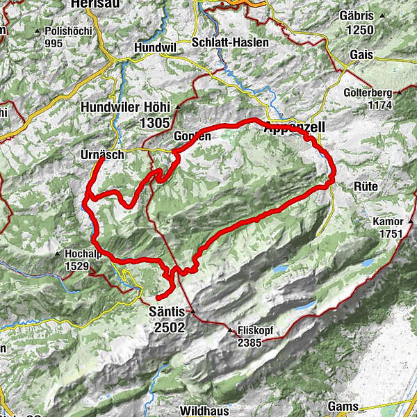
A fantastic circuit from Urnäsch to Appenzell and back again.
- Difficoltà
-
difficile
- Valutazione
-
- Percorso
-
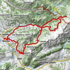
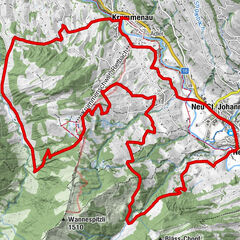
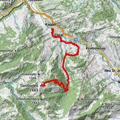
Urnäschref. Kirche0,1 kmRestaurant Sonne1,4 kmGrünau1,5 kmBergwirtschaft Blattendürren4,4 kmRose10,4 kmGasthaus Krone11,2 kmKatholische Kirche St. Verena11,2 kmGasthaus Bären11,3 kmCafe Rössli11,4 kmGonten (902 m)11,4 kmGontenbad13,8 kmKesselismühle14,9 kmRestaurant Rose15,0 kmAppenzell (778 m)16,4 kmPfarrkirche St. Mauritius16,9 kmKappelle St Anna18,4 kmRestaurant/Bäckerei Schäfli18,7 kmSteinegg19,1 kmKapelle St. Magdalena19,2 kmWeissbad (820 m)20,3 kmPizzeria Alpenhof20,7 kmWeissbad20,7 kmHagtobel22,1 kmUntere Bickeren22,4 kmAlthus23,0 kmRestaurant Warth23,4 kmEugst23,9 kmRestaurent Lehmen24,6 kmLehmen24,7 kmLeuenfall25,3 kmSiebenhütten32,5 kmSchwägalp33,4 kmTanne35,9 kmRiglen36,7 kmRossfall39,9 kmGrünau43,1 kmRestaurant Sonne43,4 kmUrnäsch44,7 kmref. Kirche44,8 km
- La stagione migliore
-
genfebmaraprmaggiulugagosetottnovdic
- Punto più alto
- 1.394 m
- Destinazione
-
Urnäsch
- Profilo altimetrico
-
 © outdooractive.com


- Autore
-
Il tour Potersalp-Route è utilizzato da outdooractive.com fornito.
GPS Downloads


Info generali
Punto di ristoro
Culturale/Storico
Promettente
Altri tour nelle regioni
-
Appenzellerland
151
-
Ebenalp
86
-
Jakobsbad - Kronberg
11