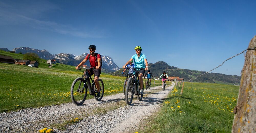
© © appenzell.ch - Corinne Kunz
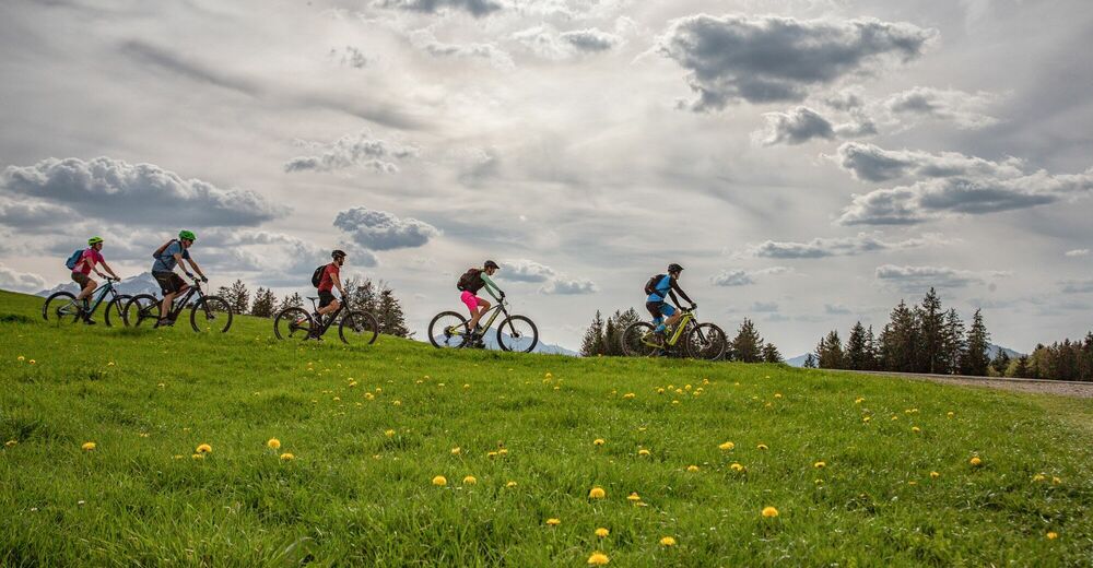
© © appenzell.ch - Corinne Kunz

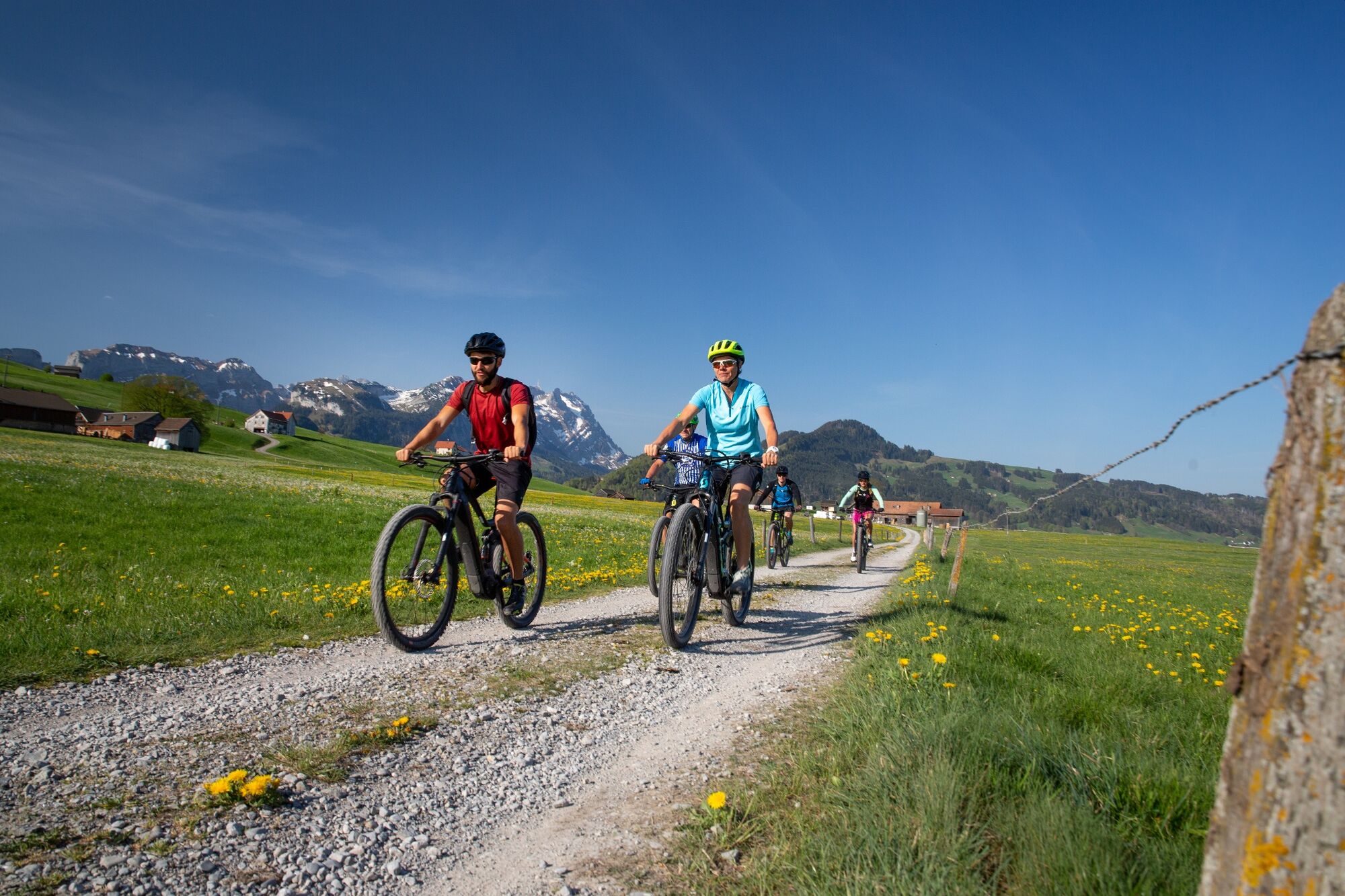
© Verlagshaus Schwellbrunn - Marcel Steiner
- Descrizione rapida
-
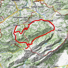
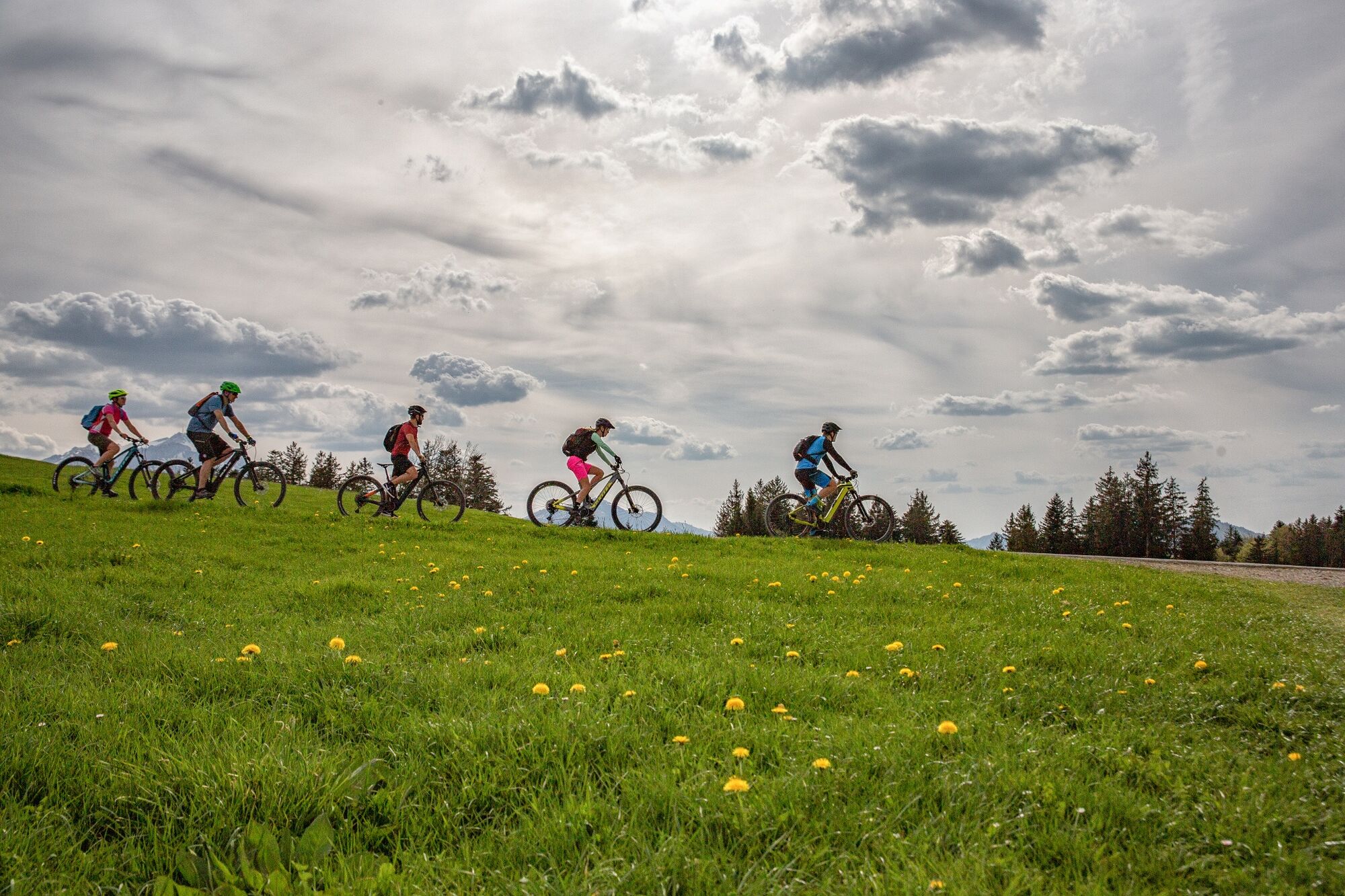
A circular route from Gais to Appenzell and bach, with Hoher Hirschberg as the highlight.
- Difficoltà
-
intermedio
- Valutazione
-
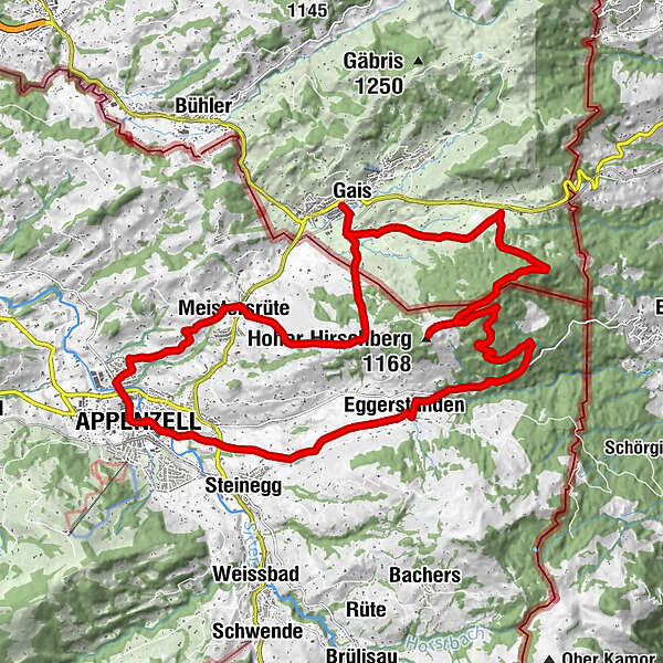
- Percorso
-
Gais (933 m)0,0 kmZwislen (914 m)0,4 kmGolterberg (1.174 m)5,9 kmHoher Hirschberg6,9 kmEggerstanden (892 m)12,9 kmAppenzell (778 m)17,4 kmPfarrkirche St. Mauritius17,5 kmZiel18,0 kmKapelle Maria zur Sonne20,5 kmAppenzell Meistersrüte21,2 kmZwislen (914 m)25,2 kmGais (933 m)25,8 km
- La stagione migliore
-
genfebmaraprmaggiulugagosetottnovdic
- Punto più alto
- 1.168 m
- Destinazione
-
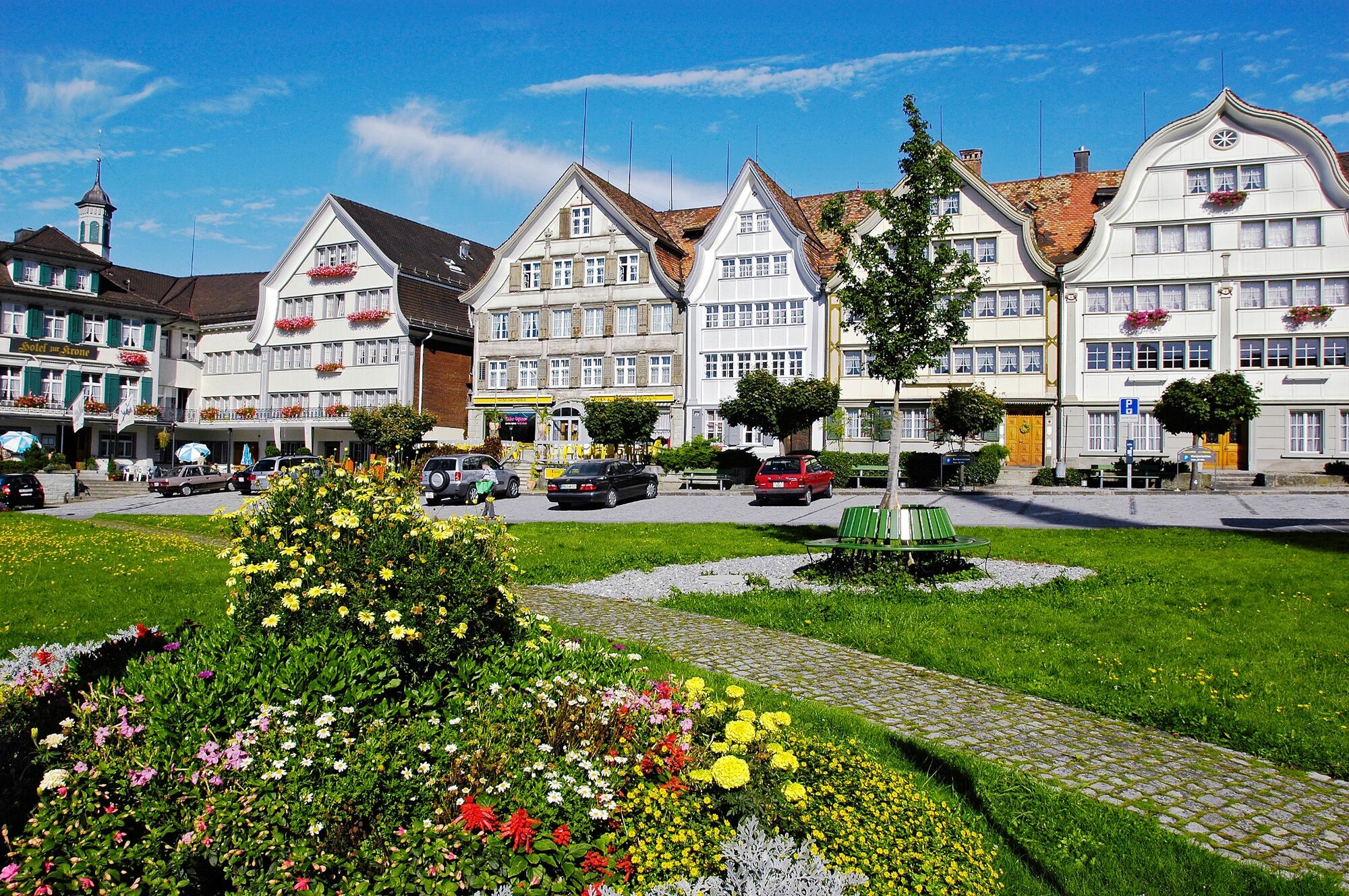
Gais
- Profilo altimetrico
-
 © outdooractive.com
- Autore
-
Il tour Hoher Hirschberg-Route è utilizzato da outdooractive.com fornito.
GPS Downloads


Info generali
Punto di ristoro
Culturale/Storico
Promettente
Altri tour nelle regioni
-
Appenzellerland
151
-
Appenzell Innerrhoden
83
-
Gais
21