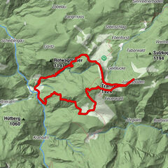
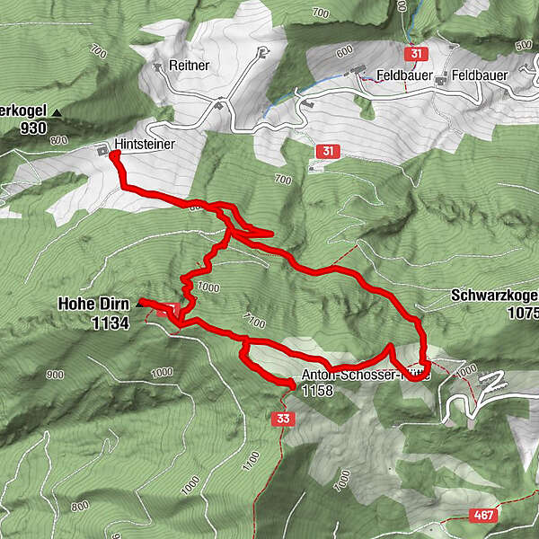
Dati percorsi
6,77km
767
- 1.158m
418hm
410hm
01:59h
- Descrizione rapida
-
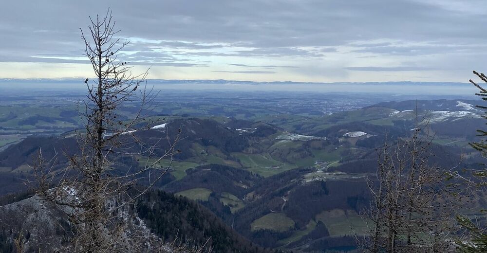
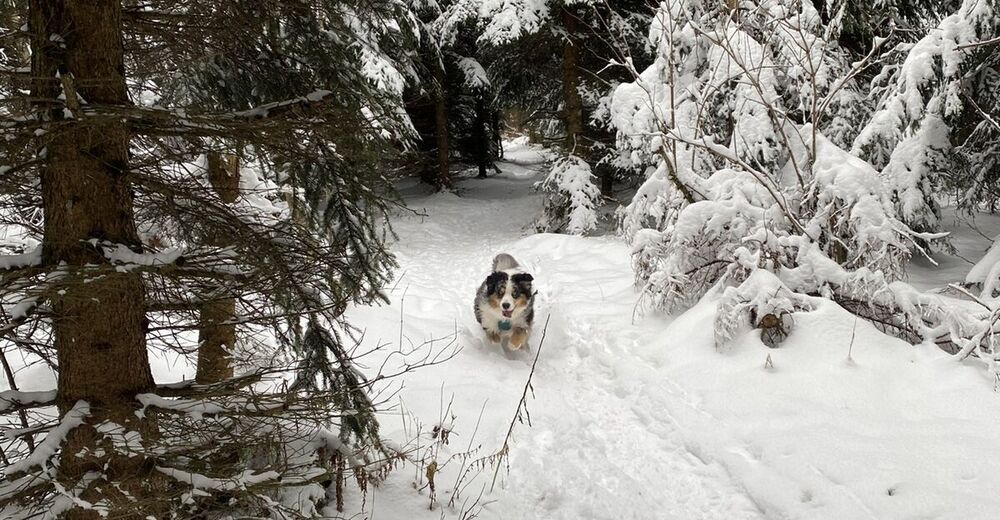
Schöner Rundwanderweg auf die Hohe Dirn mit Einkehrmöglichkeit
- Difficoltà
-
facile
- Valutazione
-
- Percorso
-
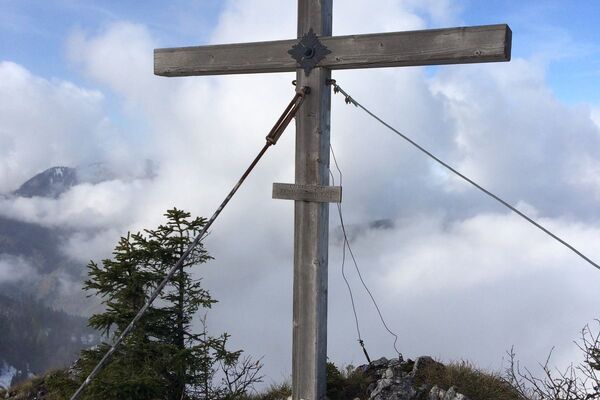
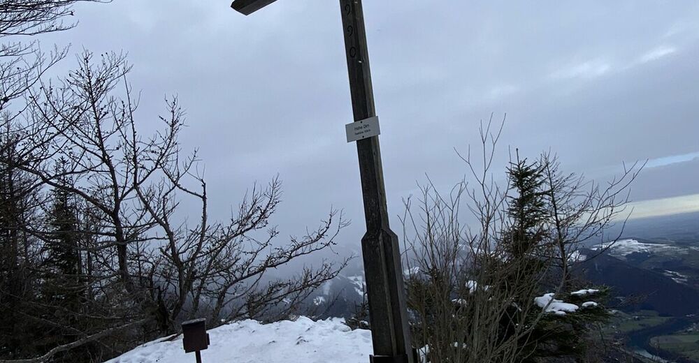
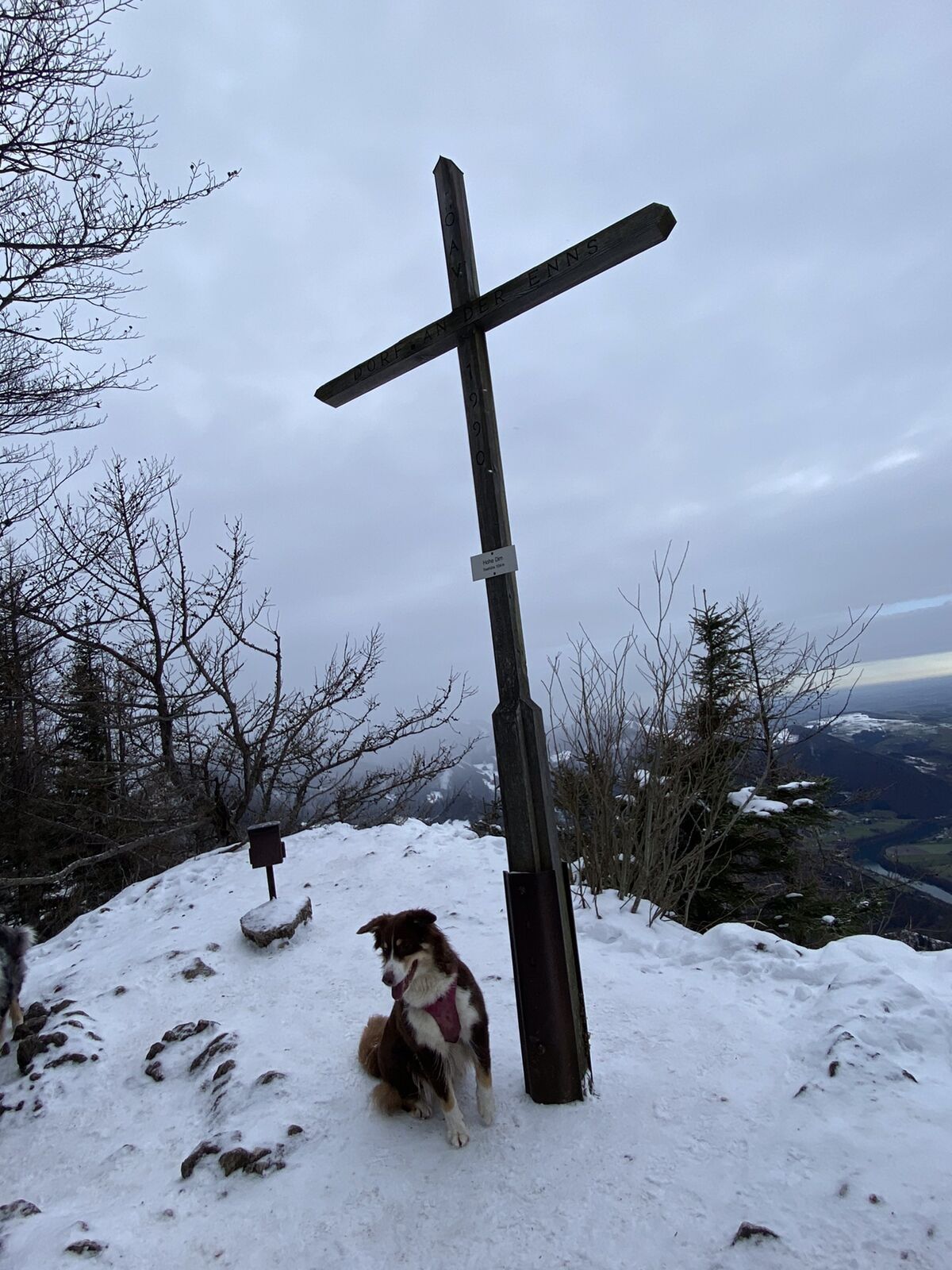
Hohe Dirn (1.134 m)2,2 km
- La stagione migliore
-
genfebmaraprmaggiulugagosetottnovdic
- Punto più alto
- 1.158 m
GPS Downloads


Altri tour nelle regioni
-
Traunviertel
1940
-
Steyr und die Nationalpark Region
1371
-
Losenstein
397