


Circular trail to the Dambergwarte and Laurenzi Chapel


Foto dei nostri utenti
 © Alexander Herrmann 2Creato il 16.05.2025
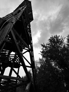 © Alexander Herrmann 2Creato il 16.05.2025
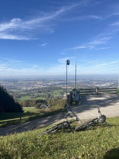
 © Paul PiesingerCreato il 17.10.2024
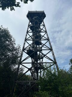
 © Manuela Huemer FriscoCreato il 20.08.2024
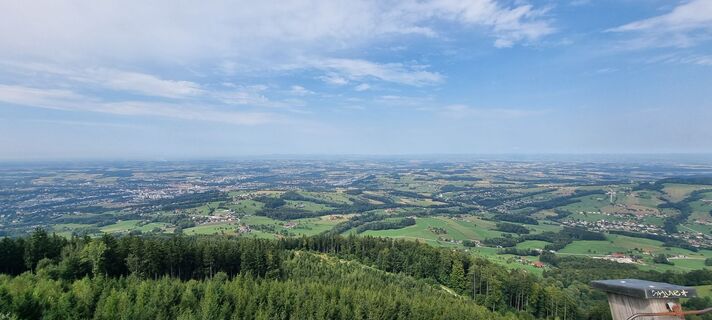 © Manuela Huemer FriscoCreato il 20.08.2024
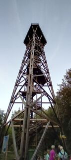
 © Joachim InfangerCreato il 24.08.2023
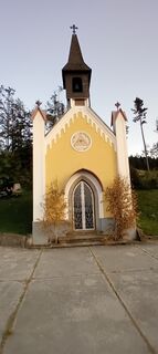 © Joachim InfangerCreato il 24.08.2023
 © Joachim InfangerCreato il 24.08.2023
 © Sepp86Creato il 14.06.2023
 © Sepp86Creato il 14.06.2023
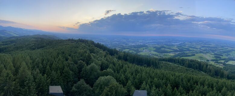 © Sepp86Creato il 14.06.2023
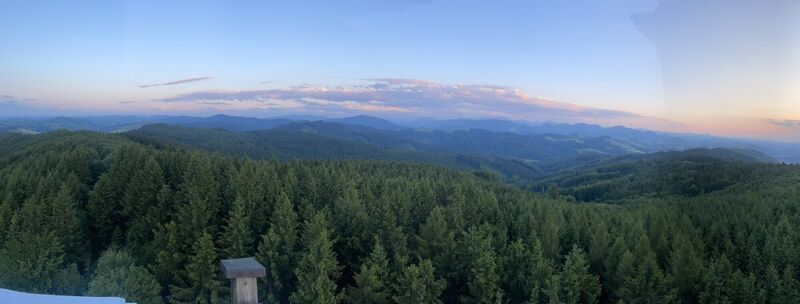 © Sepp86Creato il 14.06.2023
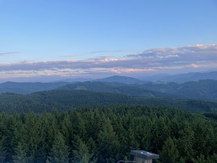 © Sepp86Creato il 14.06.2023
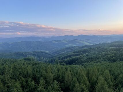 © Sepp86Creato il 14.06.2023
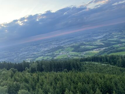 © Sepp86Creato il 14.06.2023
 © Sepp86Creato il 14.06.2023
 © Sepp86Creato il 14.06.2023
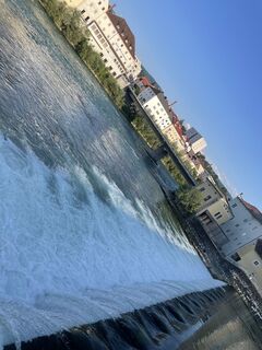 © Sepp86Creato il 14.06.2023
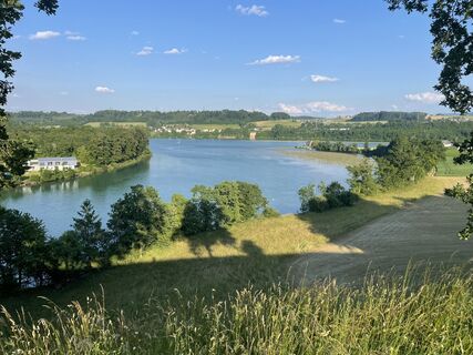 © Sepp86Creato il 14.06.2023
 © Hari WimmerCreato il 06.10.2022
 © Hari WimmerCreato il 06.10.2022


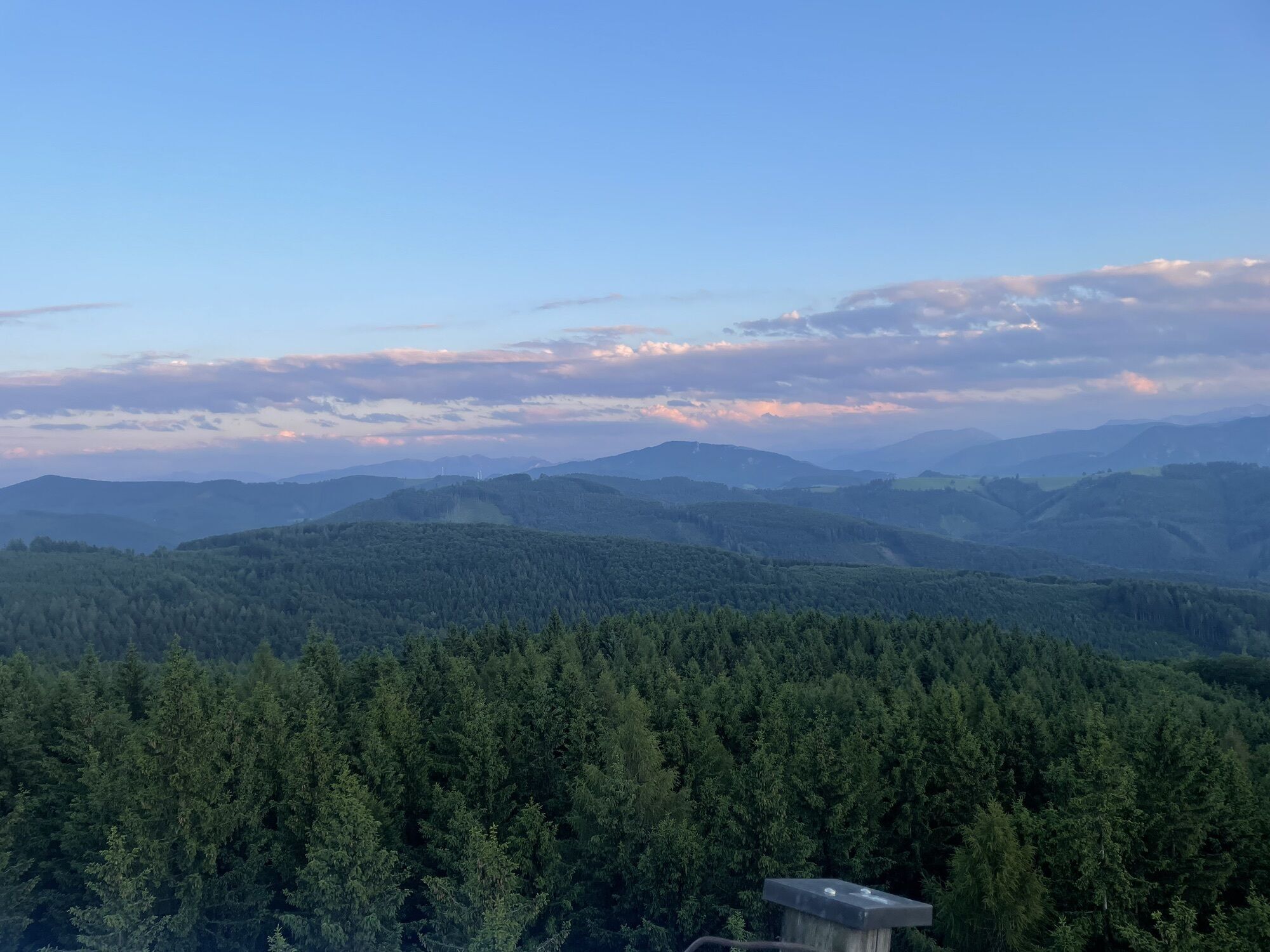


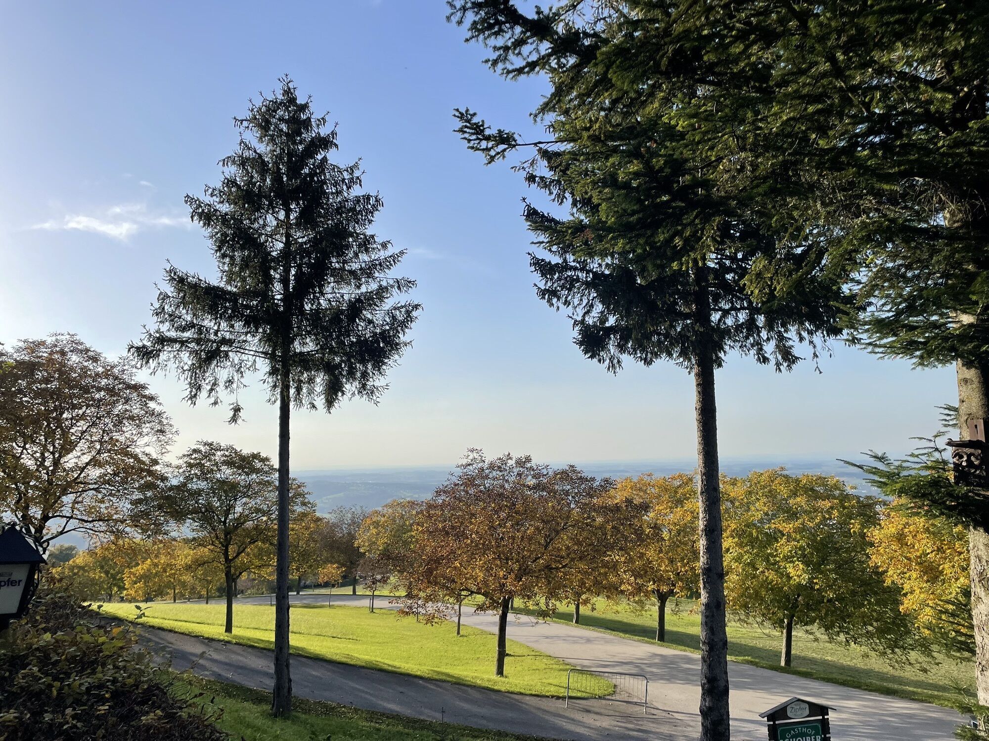
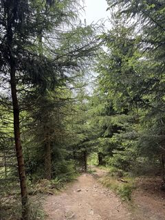
The hike leads steadily uphill from the Gasthof Schoiber to the Dambergwarte, offers wonderful views and leads back to the starting point via the Laurenzi Chapel.
Trail number: 406, E90


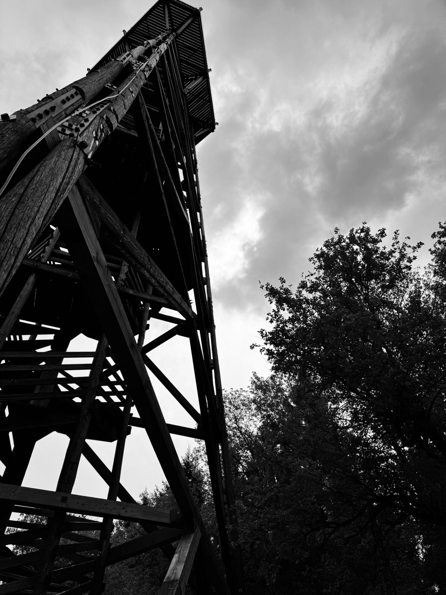
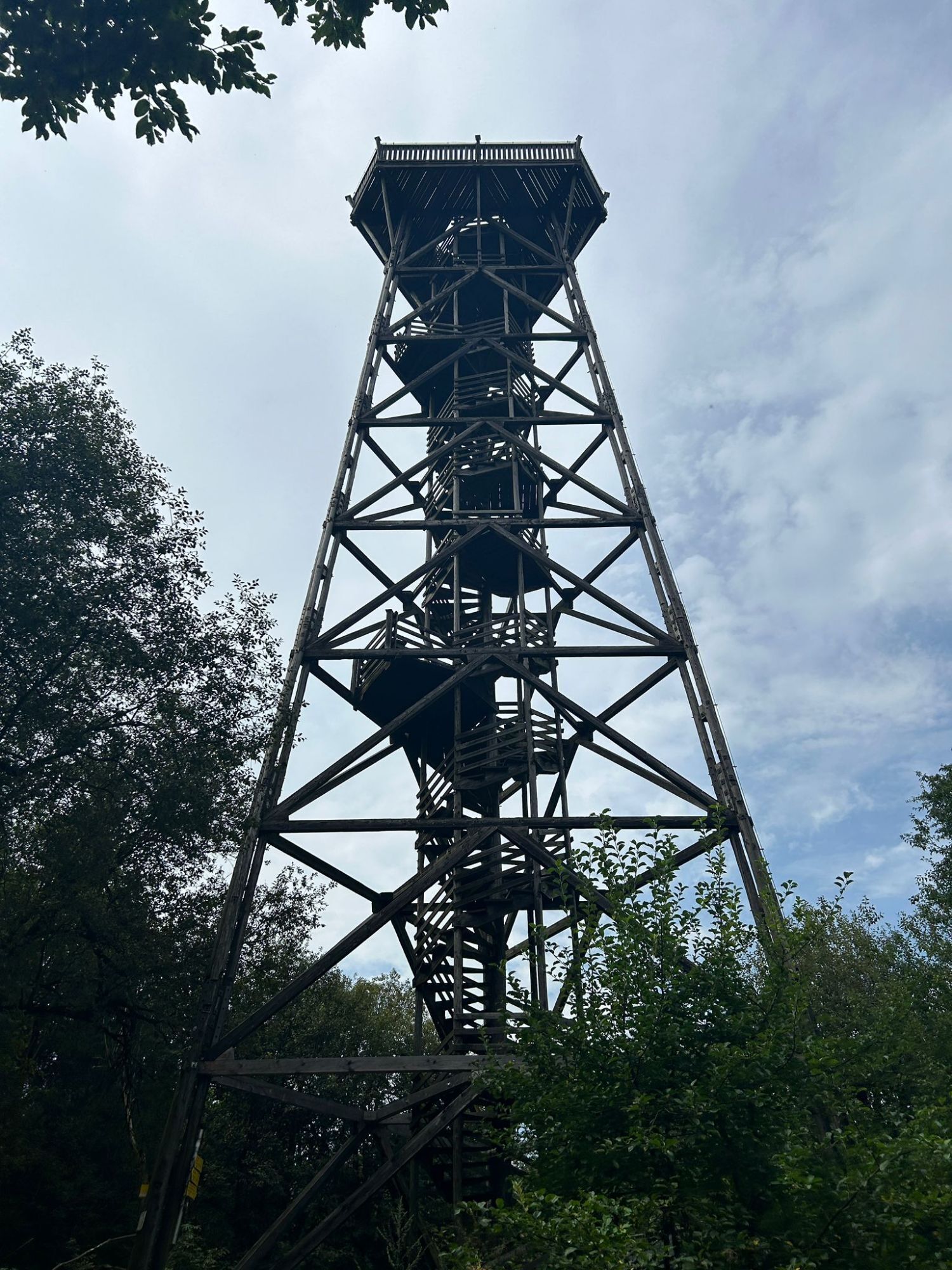
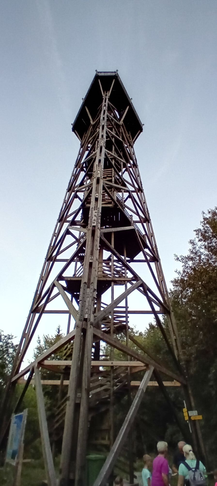
The hike leads steadily uphill from the Schoiber inn through the forest, crosses the forest road and soon you are at the foot of the Dambergwart.
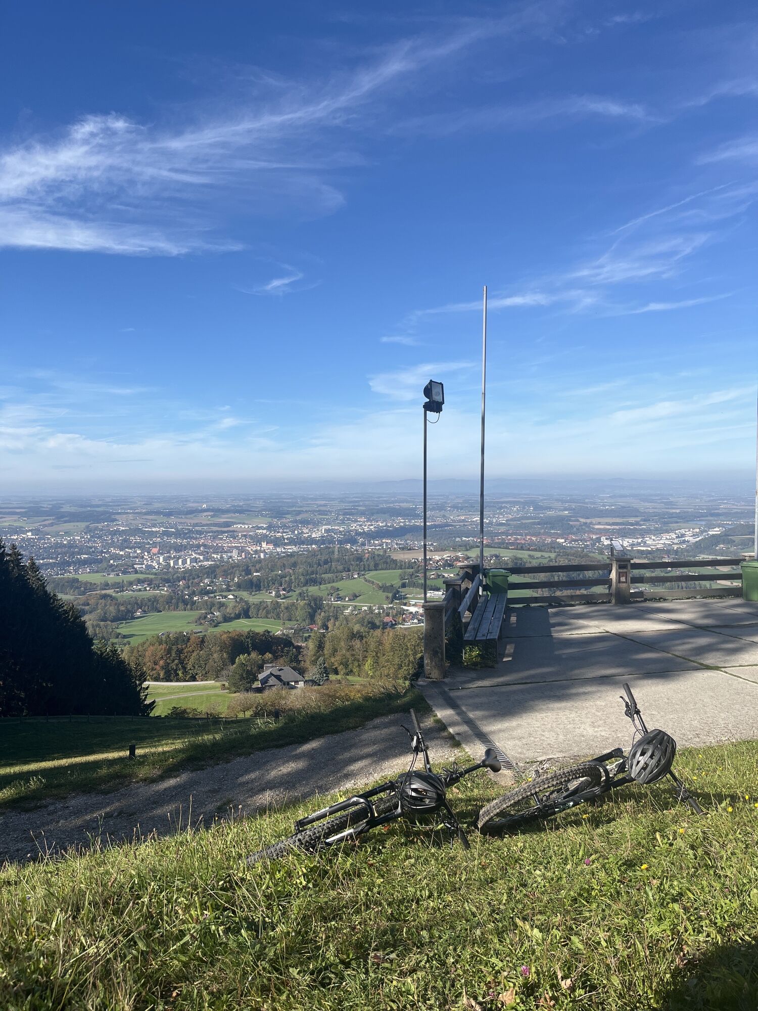
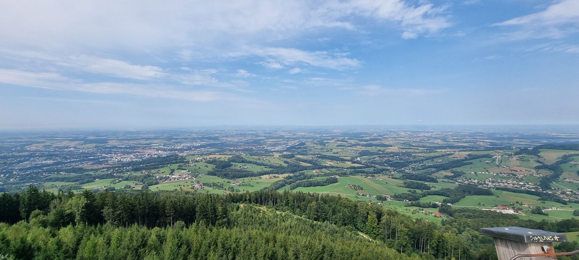
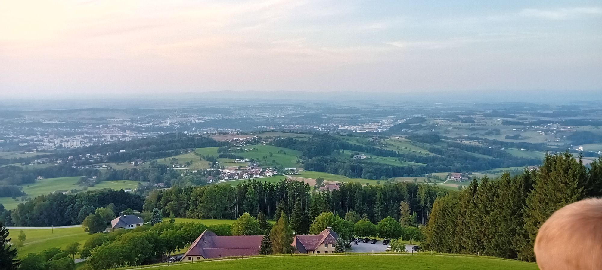
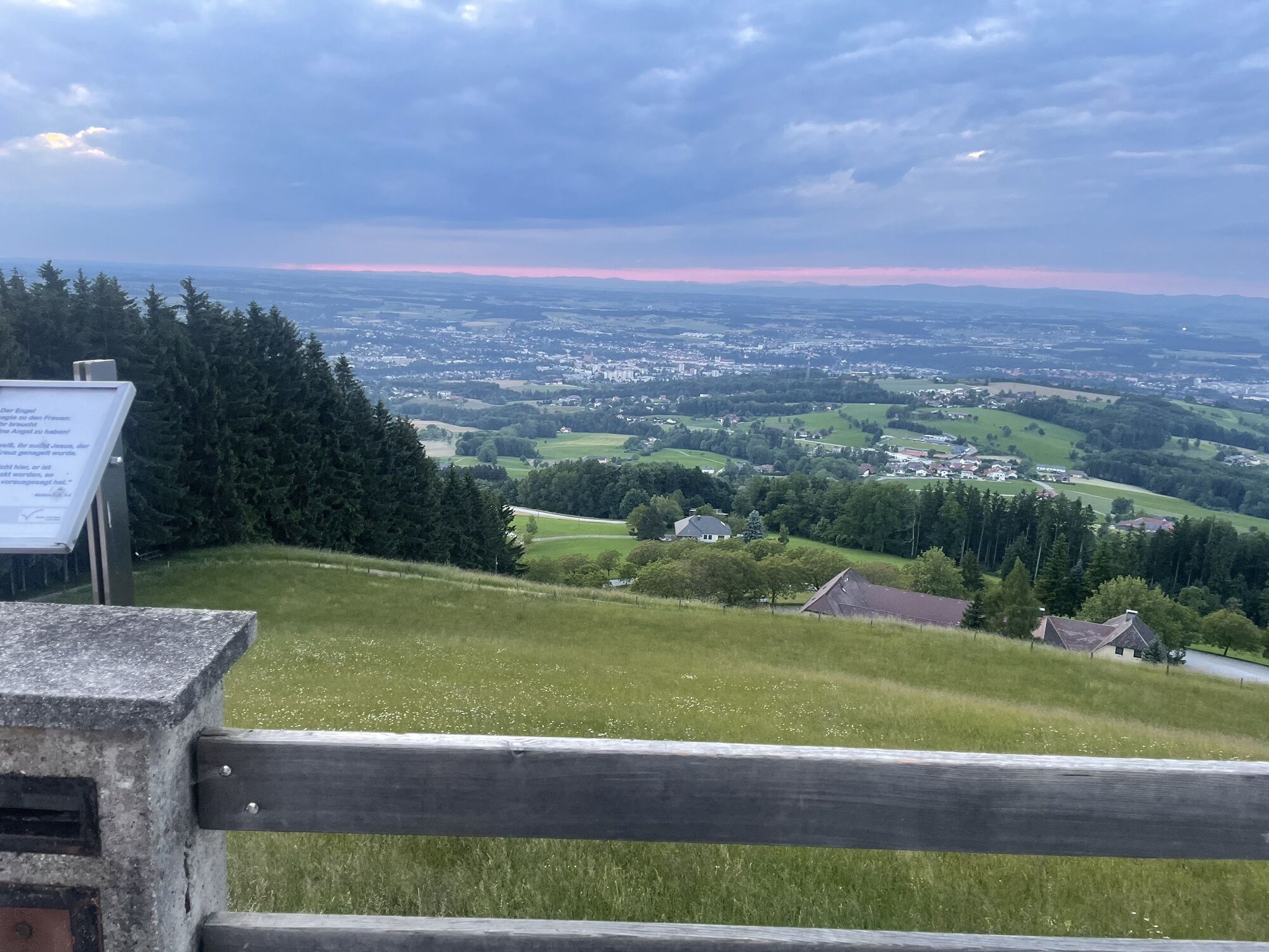
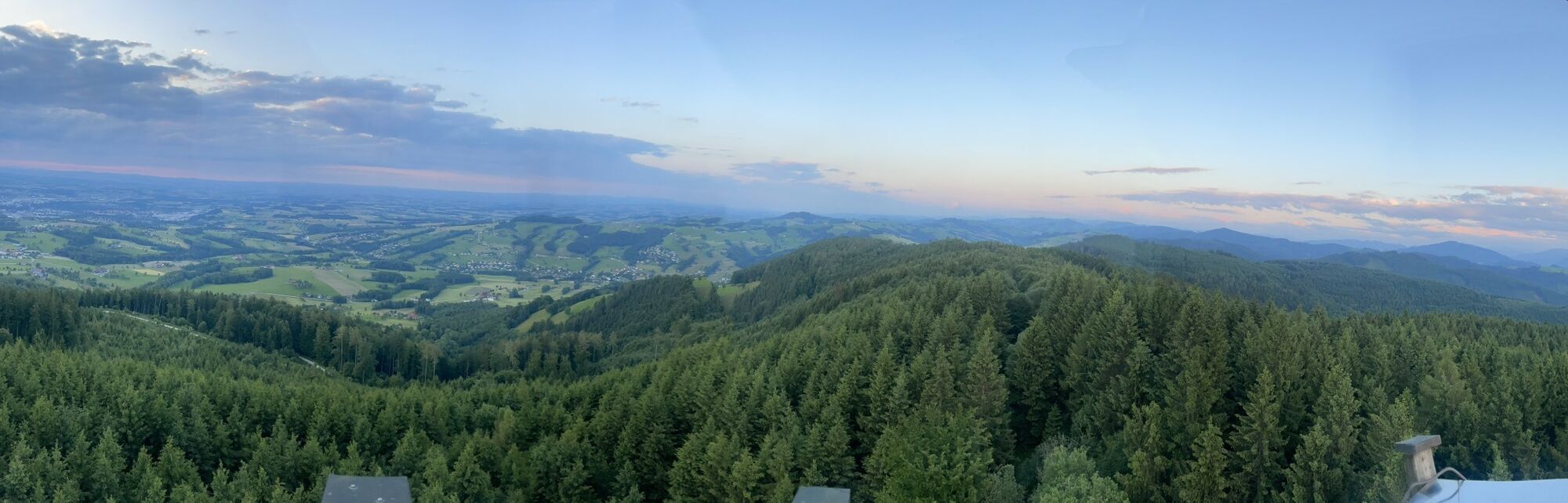
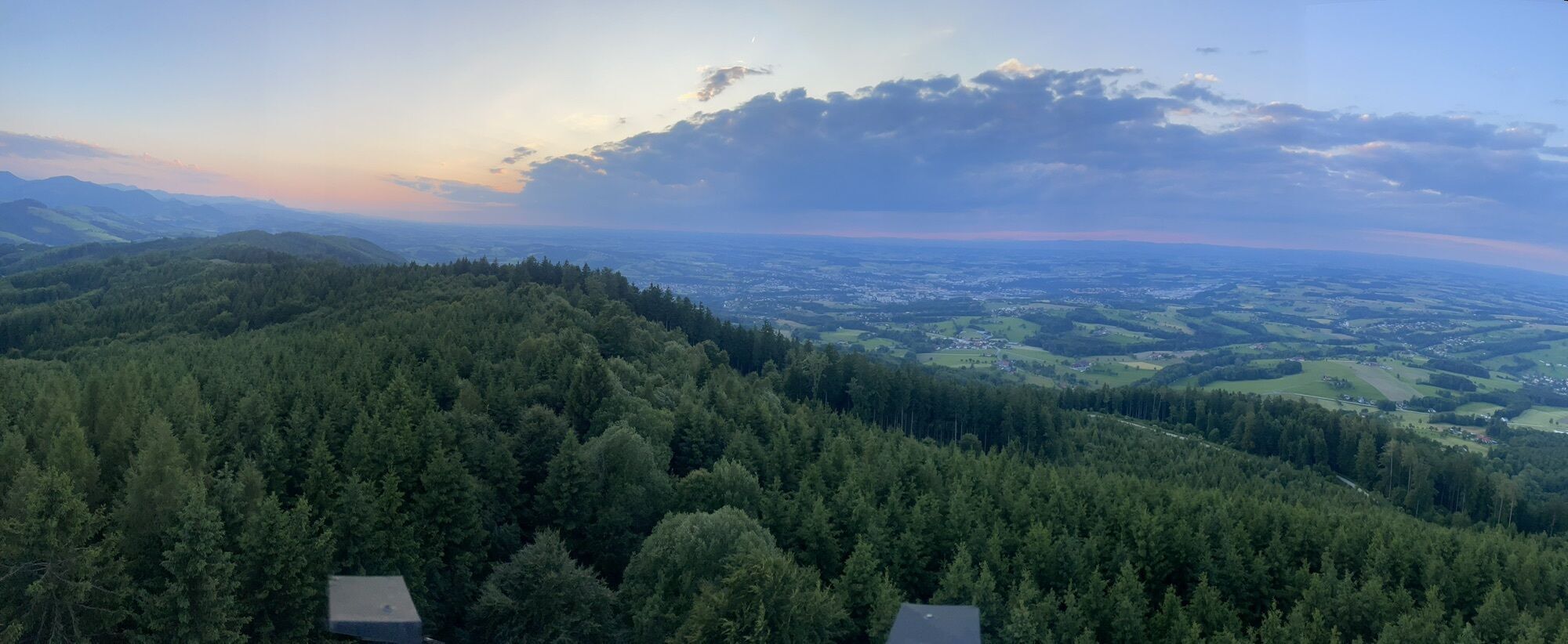
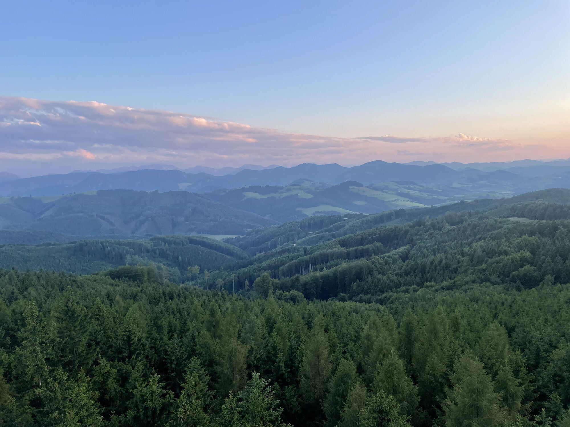
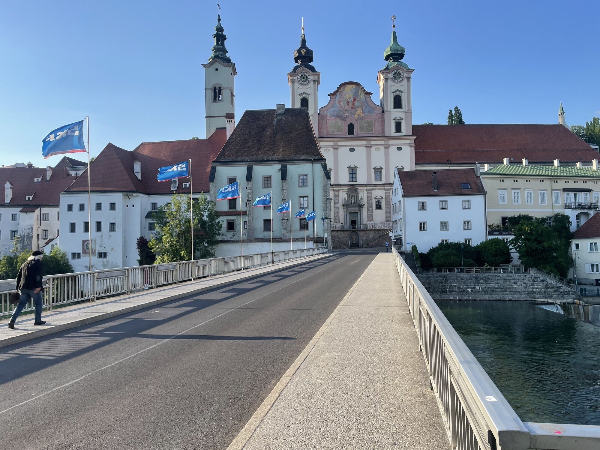
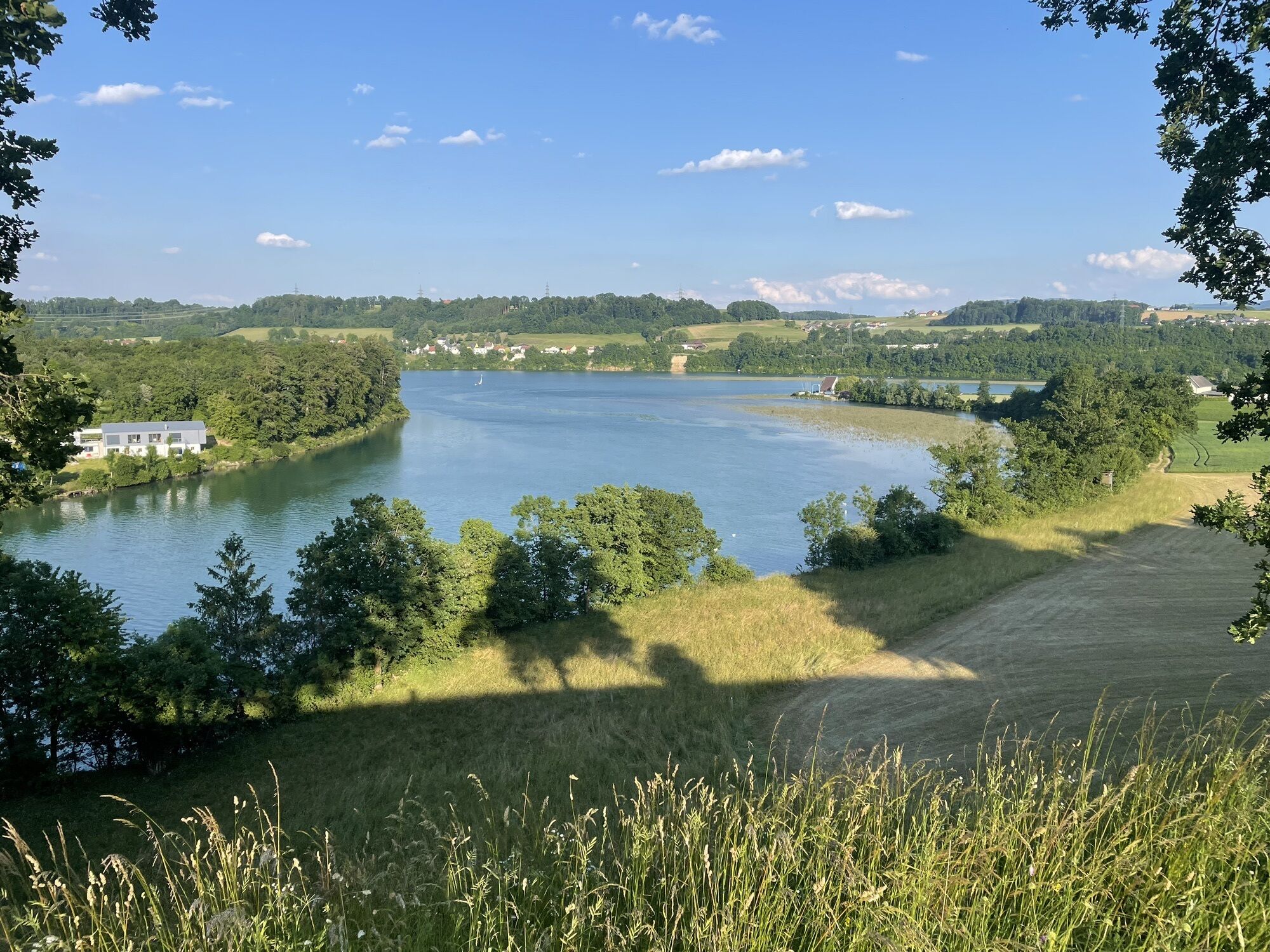
The numerous steps up to the Dambergwarte are rewarded with a magnificent view of the city of Steyr, into the Ramingtal valley and neighbouring Niederösterreich and into the Ennstal valley and the Kalkalpen National Park.
At the Dambergwarte, continue westwards for a short distance and then turn right to the Laurenzi Chapel, from where the starting point can already be seen.
From Salzburg/Linz: A1 motorway exit Enns-Steyr > B115 into the Enns Valley.
From Vienna: A1 motorway exit Haag > B42 > B122 > B115 into the Enns Valley
From Passau: A8 Passau > Wels > A1 motorway exit Enns-Steyr > B115 into the Enns Valley
From Graz: A9 Pyhrnautobahn > motorway exit Klaus > Grünburg > into the Ennstal valley
The Ennstalbahn runs between Linz and Weißenbach-St. Gallen.
Details at www.ooevv.at
Railway Stations are located in Ternberg, Trattenbach, Losenstein, Reichraming, Großraming, Gaflenz, Weyer, Küpfern, Kastenreith, Kleinreifling and Weißenbach-St. Gallen.
St. Ulrich/parking Gasthof Schoiber
NATURSCHAUSPIEL: Experience "Die Natur der Nacht am Damberg" as part of a nature tour - www.naturschauspiel.at
I tour più popolari nelle vicinanze
- 4,7
Steinerner Jäger (1185m) und Schieferstein (1206m) ab Parkplatz Hochhabichler
medioEscursionismo4,46 km - 4,4
Ternberg -Schoberstein
medioEscursionismo6,60 km - 4,5
Pfaffenmauer - Schoberstein - Gipfel der Lust Gasthof Klausriegler, Oberösterreich/Österreich
medioEscursionismo9,72 km - 4,8
Schoberstein da Trattenbach/Gasthaus Klausriegler
medioEscursionismo2,60 km - 4,1
Sonnkogel (1177m) und Hohe Dirn (1134m) ab Parkplatz Hohe Dirn
medioEscursionismo7,71 km - 4,0
Schieferstein und Steinerner Jäger von Reichraming, Oberösterreich
medioEscursionismo3,82 km - 4,7
Enns Aktiv Weg Ternberg
medioEscursionismo4,85 km - 3,7
Schoberstein (dalla stazione di Trattenbach)
luceEscursionismo5,53 km - 4,2
Gipfel der Lust, Koglerstein, Schobersteinhaus
luceEscursionismo8,56 km - 4,6
Steinerner Jäger (1185m) und Schieferstein (1206m) ab Parkplatz Hack
pesanteEscursionismo8,58 km
Escursioni e tracking


Non perdete le offerte e le ispirazioni per le vostre prossime vacanze
Il vostro indirizzo e-mail è stato aggiunto alla mailing list.