© Rosina Bürscher

© Rosina Bürscher

© Rosina Bürscher

© Rosina Bürscher

© Rosina Bürscher


- Descrizione rapida
-
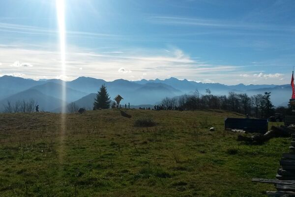
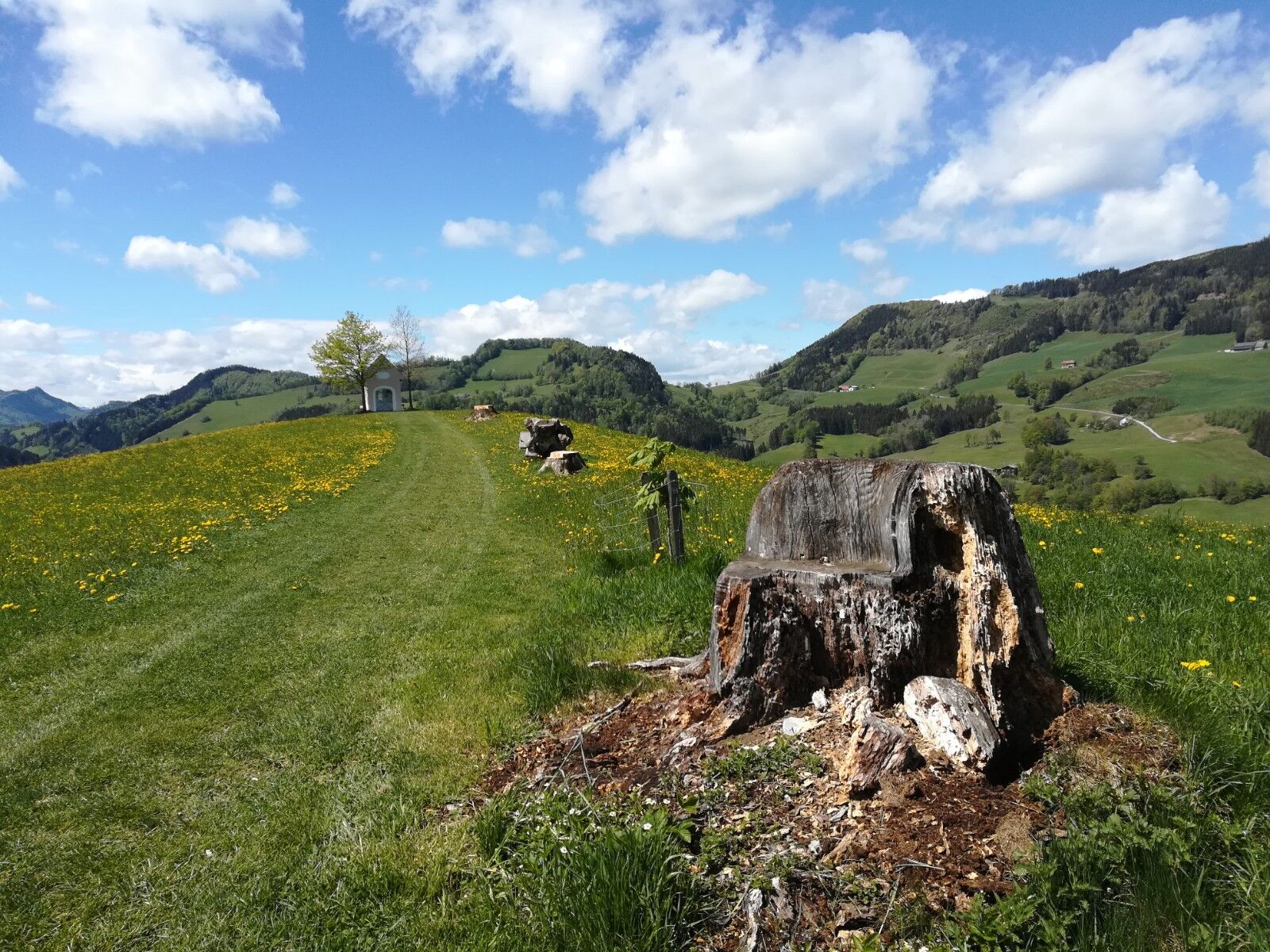
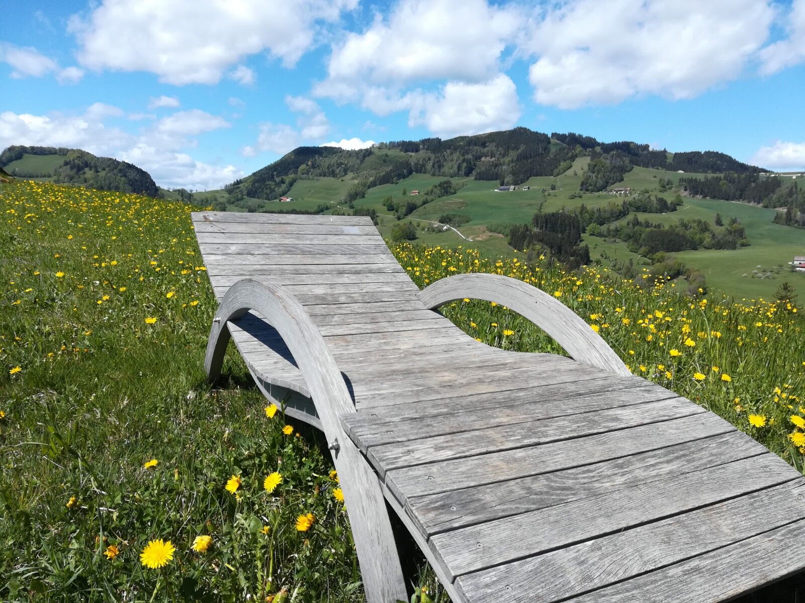
Saving round about the Alberhöhe with wonderful panoramic view
- Difficoltà
-
facile
- Valutazione
-
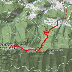
- Percorso
-
Kirche Maria NeustiftMaria Neustift0,0 kmGasthaus Schaupp0,0 km
- La stagione migliore
-
genfebmaraprmaggiulugagosetottnovdic
- Punto più alto
- 631 m
- Destinazione
-
Maria Neustift/center of the village
- Profilo altimetrico
-


- Autore
-
Il tour Way of salvation è utilizzato da outdooractive.com fornito.
GPS Downloads


Info generali
Punto di ristoro
Promettente
Altri tour nelle regioni
-
Traunviertel
1940
-
Moststraße
754
-
Maria Neustift
333