

© TV Nationalpark Region Ennstal/Kraushofer

© TV Nationalpark Region Ennstal

© TV Nationalpark Region Ennstal

- Descrizione rapida
-
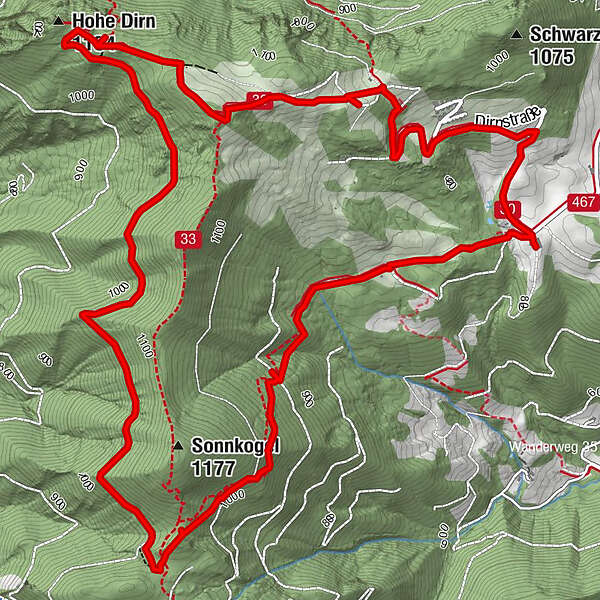
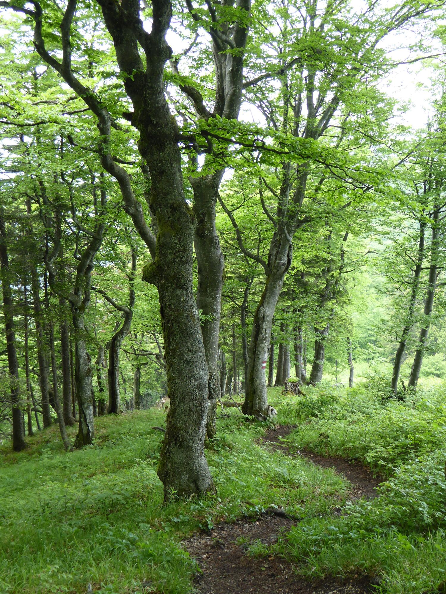
Via forest paths and forest roads around the Sonnkogel and to the summit of the Hohe Dirn (1,134m)
- Difficoltà
-
intermedio
- Valutazione
-
- Percorso
-
Hohe Dirn (1.134 m)6,9 km
- La stagione migliore
-
genfebmaraprmaggiulugagosetottnovdic
- Punto più alto
- 1.155 m
- Destinazione
-
Reichraming/Hohe Dirn parking (access via Losenstein)
- Profilo altimetrico
-


- Autore
-
Il tour Big Dirn Circular Trail è utilizzato da outdooractive.com fornito.
GPS Downloads


Info generali
Punto di ristoro
Promettente
Altri tour nelle regioni
-
Traunviertel
1940
-
Steyr und die Nationalpark Region
1371
-
Losenstein
397


