© Tourismusverband Steyr Nationalpark Region - Renate Schweighuber

© Tourismusverband Steyr Nationalpark Region - Renate Schweighuber

© Tourismusverband Steyr Nationalpark Region - Renate Schweighuber

© TV Nationalpark Region Steyrtal

- Descrizione rapida
-
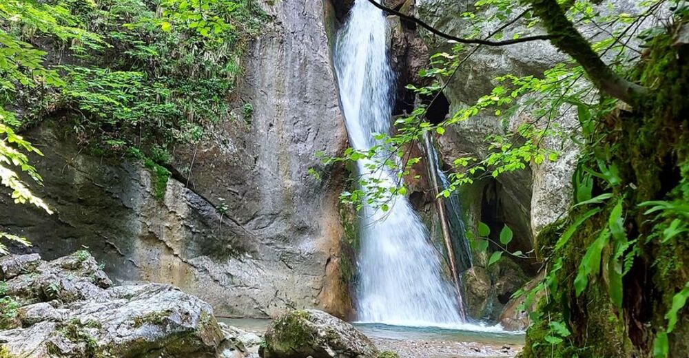
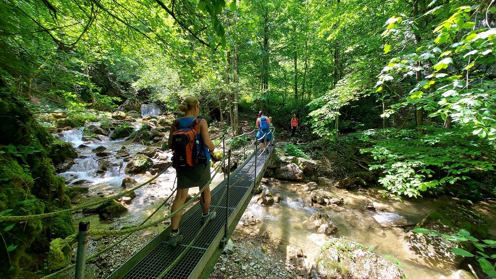
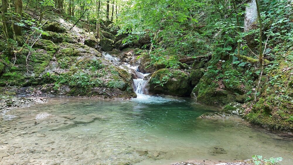
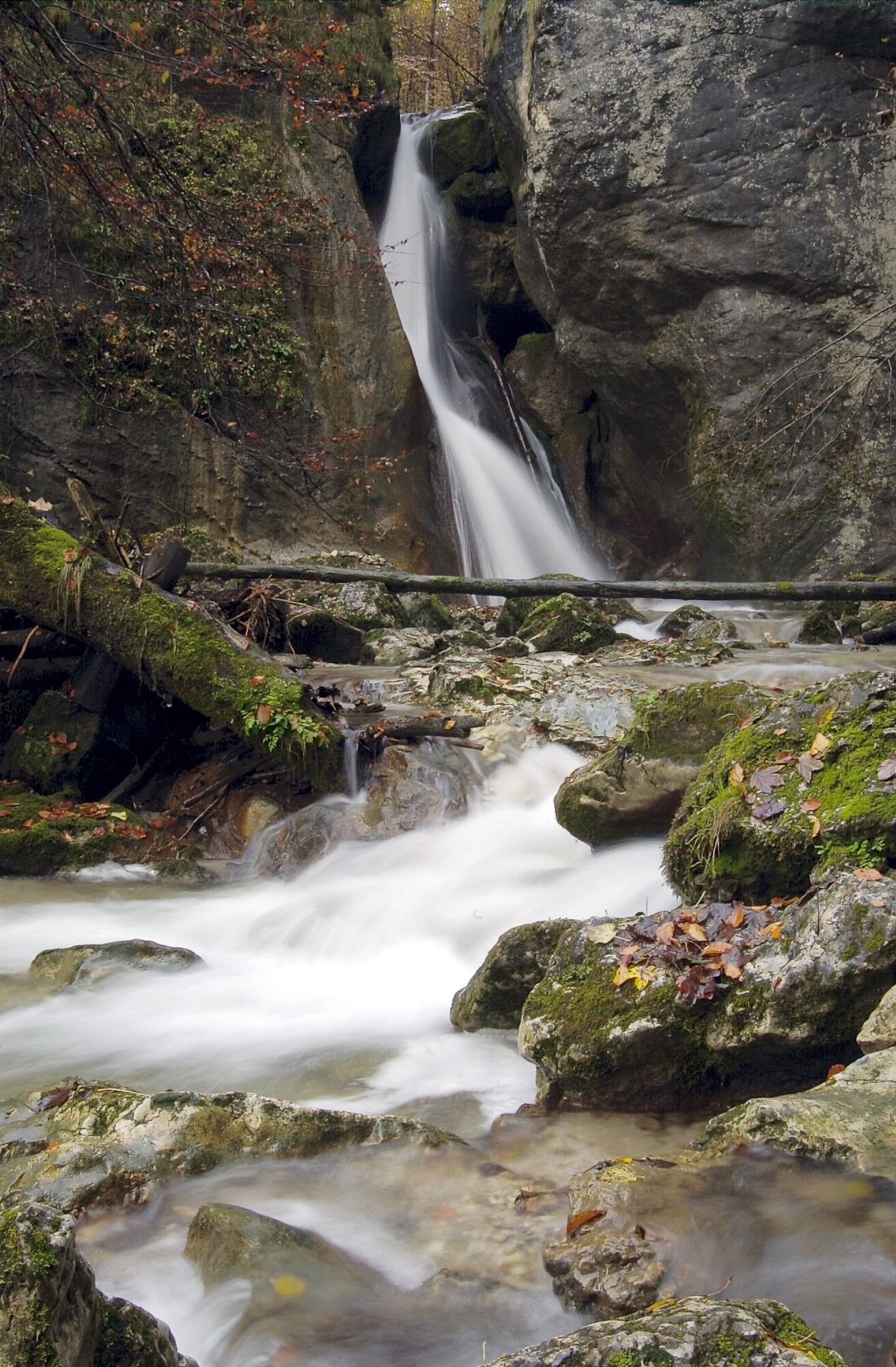
Romantic family hike to the natural spectacle of the Rinnerberg waterfall and gorge
- Difficoltà
-
intermedio
- Valutazione
-
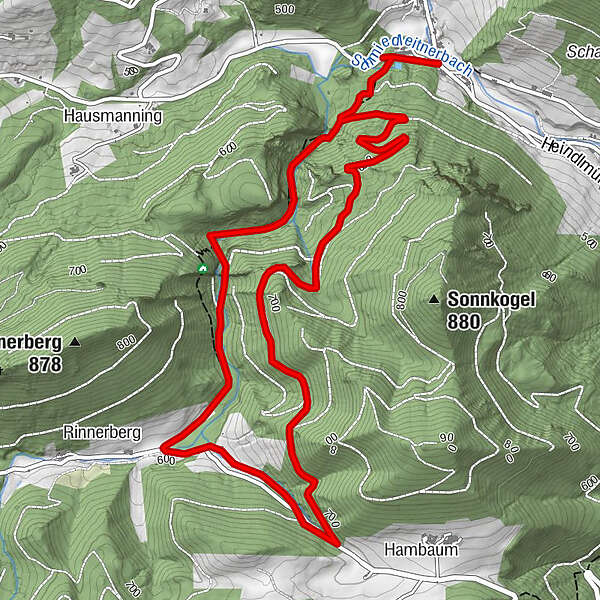
- Percorso
-
Rinnerberger Wasserfall1,1 kmRinnerberger Wasserfall5,3 km
- La stagione migliore
-
genfebmaraprmaggiulugagosetottnovdic
- Punto più alto
- 703 m
- Destinazione
-
Grünburg/Leonstein - former Waldklause
- Profilo altimetrico
-


- Autore
-
Il tour Rinnerberger Wasserfall - Klamm è utilizzato da outdooractive.com fornito.
GPS Downloads


Altri tour nelle regioni
-
Traunviertel
1939
-
Tourismusregion Bad Hall
768
-
Oberschlierbach
332