© TV Nationalpark Region Steyrtal


- Descrizione rapida
-
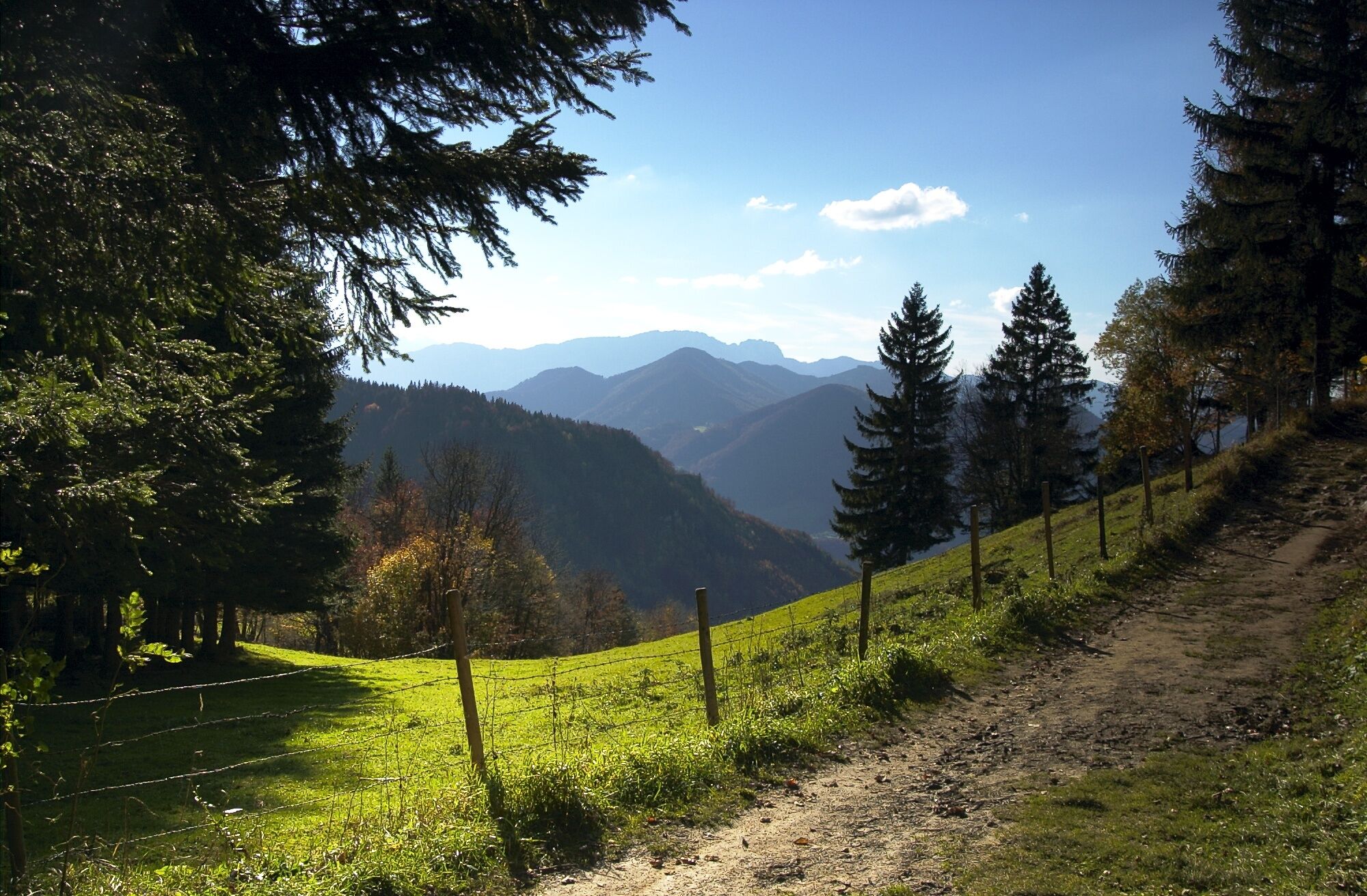
Easy hike with beautiful views!
- Difficoltà
-
facile
- Valutazione
-
- Percorso
-
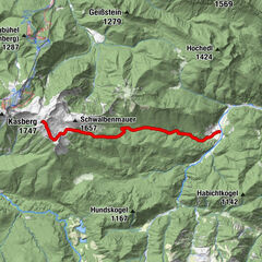
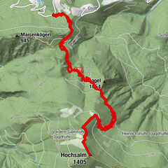
Leonstein3,1 kmPfarrkirche Leonstein3,1 km
- La stagione migliore
-
genfebmaraprmaggiulugagosetottnovdic
- Punto più alto
- 527 m
- Destinazione
-
Grünburg/Leonstein
- Profilo altimetrico
-

- Autore
-
Il tour Leonstein High Trail è utilizzato da outdooractive.com fornito.
GPS Downloads


Info generali
Culturale/Storico
Altri tour nelle regioni
-
Traunviertel
1939
-
Tourismusregion Bad Hall
768
-
Molln
373