© Tourismusverband Steyr Nationalpark Region - Renate Schweighuber

- Descrizione rapida
-
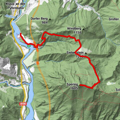
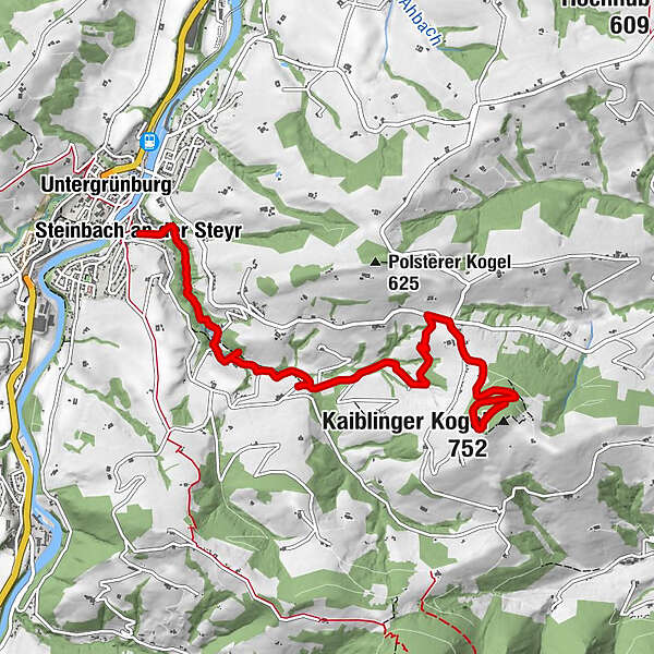
Hike from Steinbach an der Steyr to the Sandner Linde and on to the Kaiblinger Kogel
- Difficoltà
-
intermedio
- Valutazione
-
- Percorso
-
Steinbach an der SteyrUntergrünburgSandner Linde4,7 kmKaiblinger Kogel (752 m)6,6 km
- La stagione migliore
-
genfebmaraprmaggiulugagosetottnovdic
- Punto più alto
- 726 m
- Destinazione
-
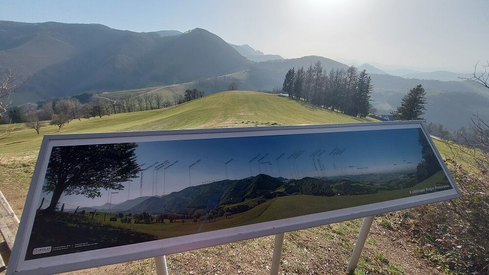
Steinbach an der Steyr/Kaiblinger Kogel
- Profilo altimetrico
-

- Autore
-
Il tour Sandner Linde - Kaiblinger Kogel è utilizzato da outdooractive.com fornito.
GPS Downloads


Info generali
Punto di ristoro
Flora
Promettente
Altri tour nelle regioni
-
Traunviertel
1940
-
Tourismusregion Bad Hall
770
-
Grünburg
359