© TV Nationalpark Region Ennstal - Sandra Kraushofer

© TV Nationalpark Region Ennstal - Sandra Kraushofer

© TV Nationalpark Region Ennstal - Sandra Kraushofer

© TV Nationalpark Region Ennstal - Sandra Kraushofer

- Descrizione rapida
-
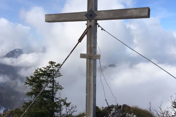
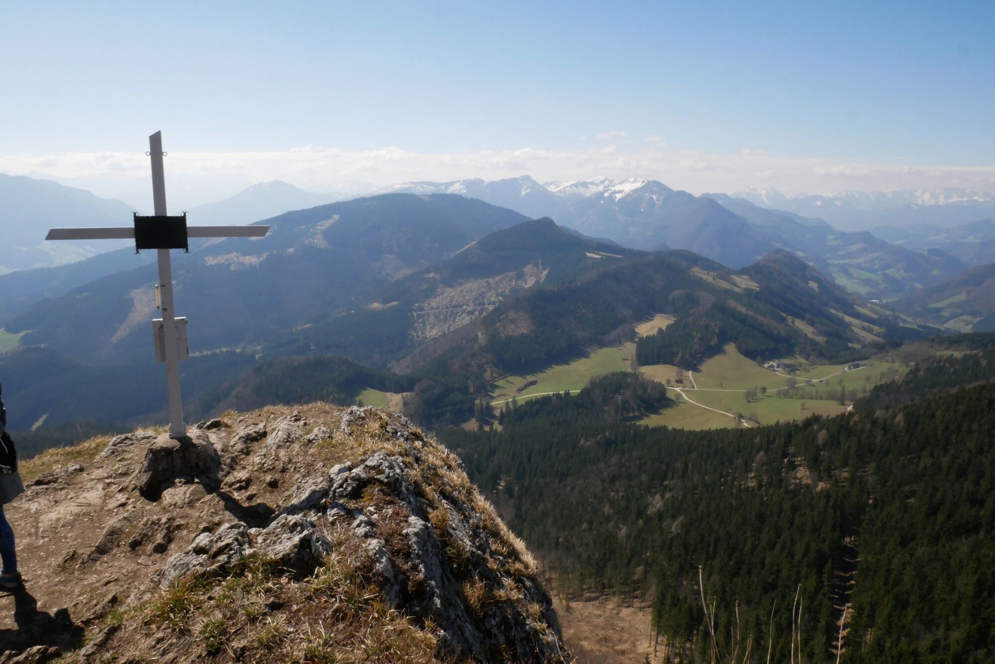
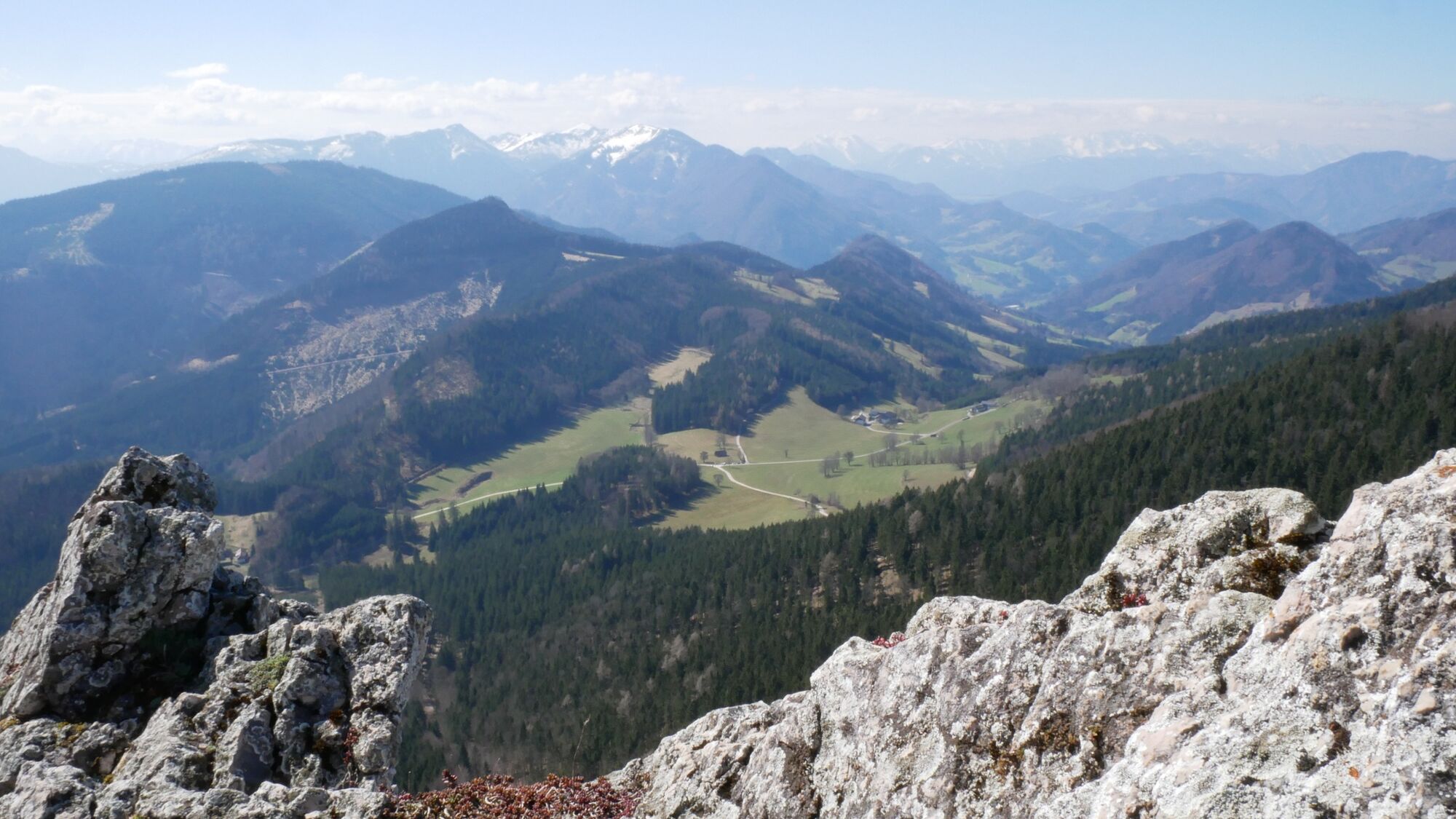
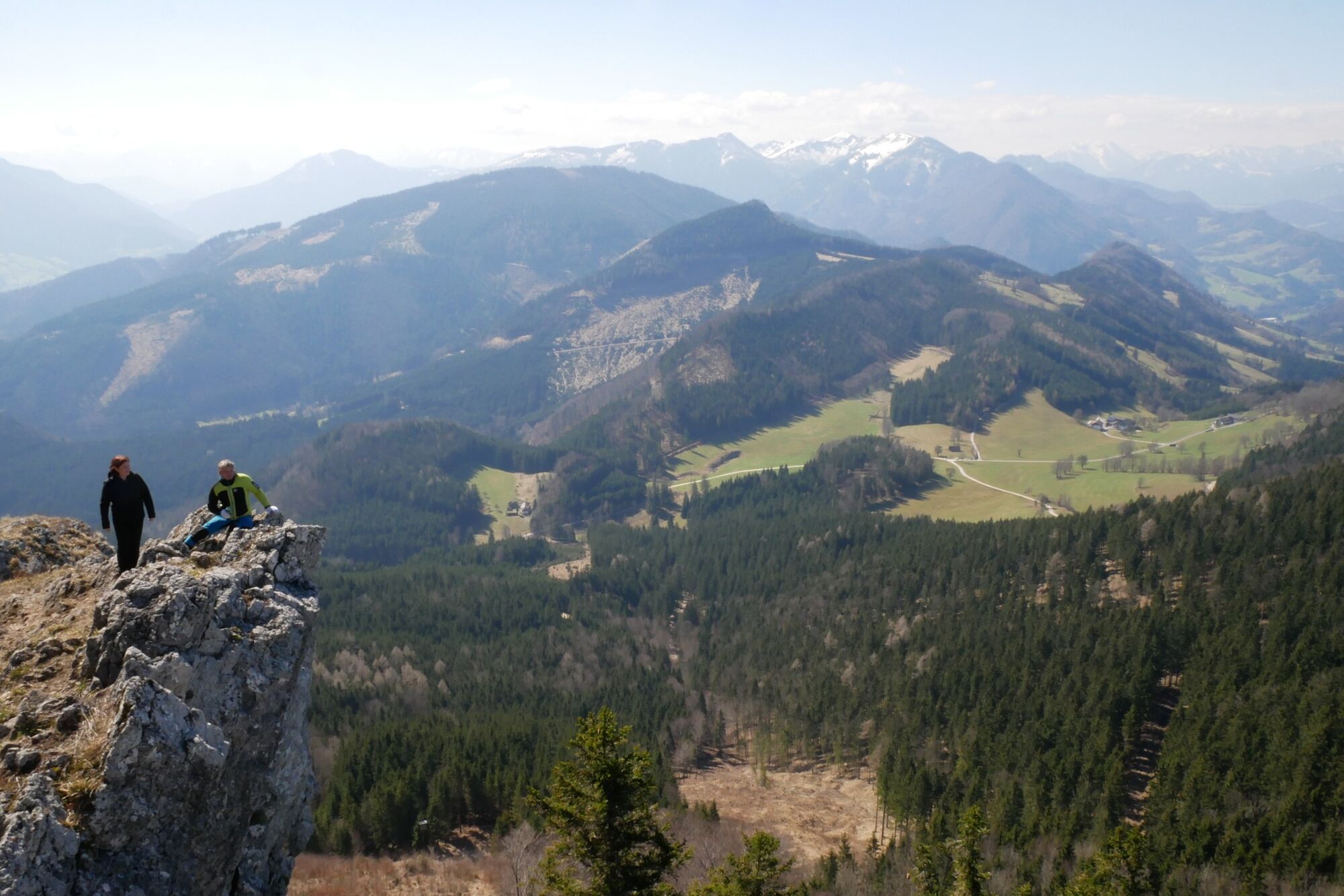
Short hike up a small, but in the summit area rocky lookout mountain
- Difficoltà
-
intermedio
- Valutazione
-
- Percorso
-
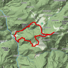
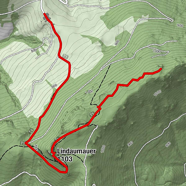
Heuriger Zöttl - Hochramskogler0,0 kmLindauerhöhle1,6 kmLindaumauer (1.103 m)1,6 kmLindauer Berg (1.084 m)2,7 km
- La stagione migliore
-
genfebmaraprmaggiulugagosetottnovdic
- Punto più alto
- 1.083 m
- Destinazione
-
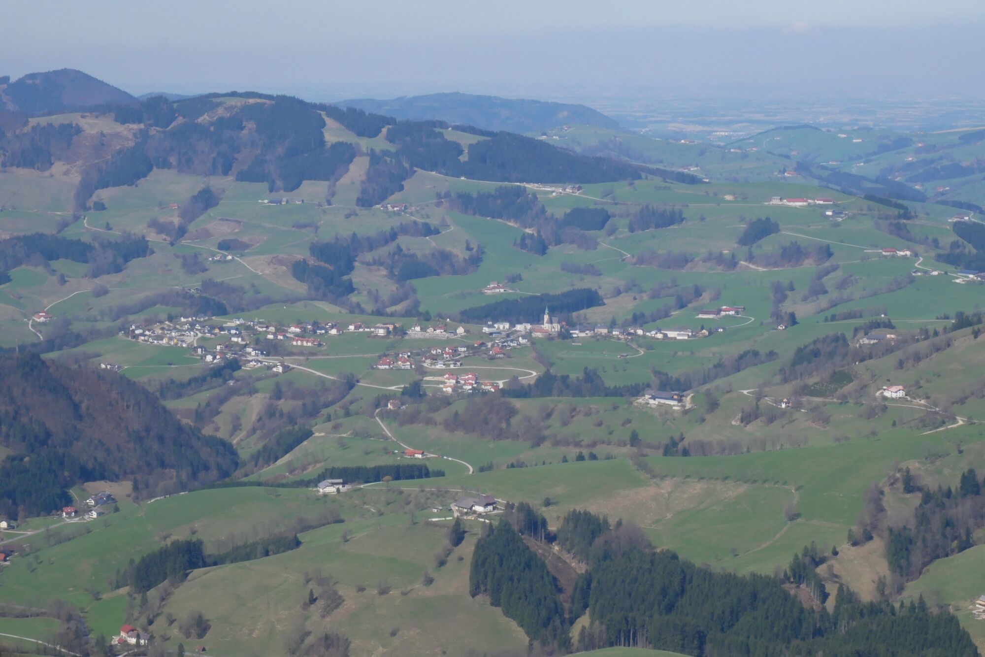
Maria Neustift/Jausenstation Hochramskogel
- Profilo altimetrico
-

- Autore
-
Il tour Lindaumauer and Lindauer Berg è utilizzato da outdooractive.com fornito.
GPS Downloads


Info generali
Punto di ristoro
Promettente
Altri tour nelle regioni
-
Traunviertel
1940
-
Moststraße
754
-
Maria Neustift
333