Dati percorsi
9,96km
240
- 259m
13hm
01:29h
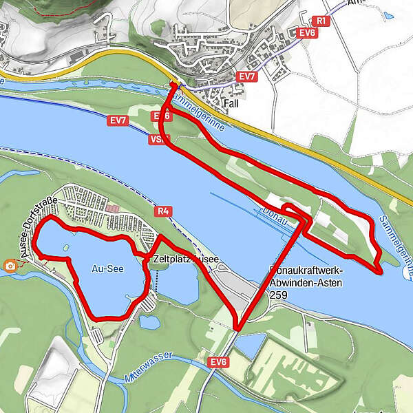
- Descrizione rapida
-
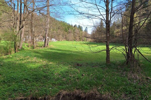
Flache Wanderung mit Sicht auf Donau und Ausee
- Difficoltà
-
facile
- Valutazione
-
- Punto di partenza
-
Parkplatz an der B3, beim Eingang zum Donau Kraftwerksgelände Abwinden / Asten
- Percorso
-
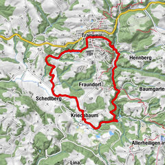
PacinoBiber Restaurant6,6 kmPacino9,9 km
- La stagione migliore
-
genfebmaraprmaggiulugagosetottnovdic
- Punto più alto
- 259 m
- Fonte
- Christian Fürst
GPS Downloads


Altri tour nelle regioni
-
Mühlviertel
1781
-
Linz & Region Linz
842
-
Luftenberg an der Donau
222