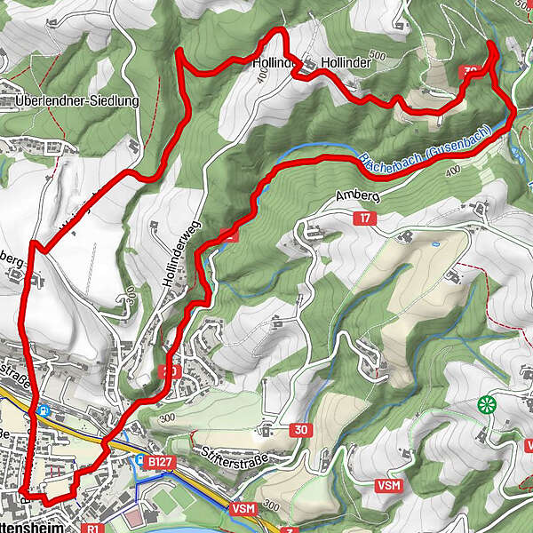
Dati percorsi
9,06km
244
- 449m
135hm
173hm
02:06h
- Descrizione rapida
-
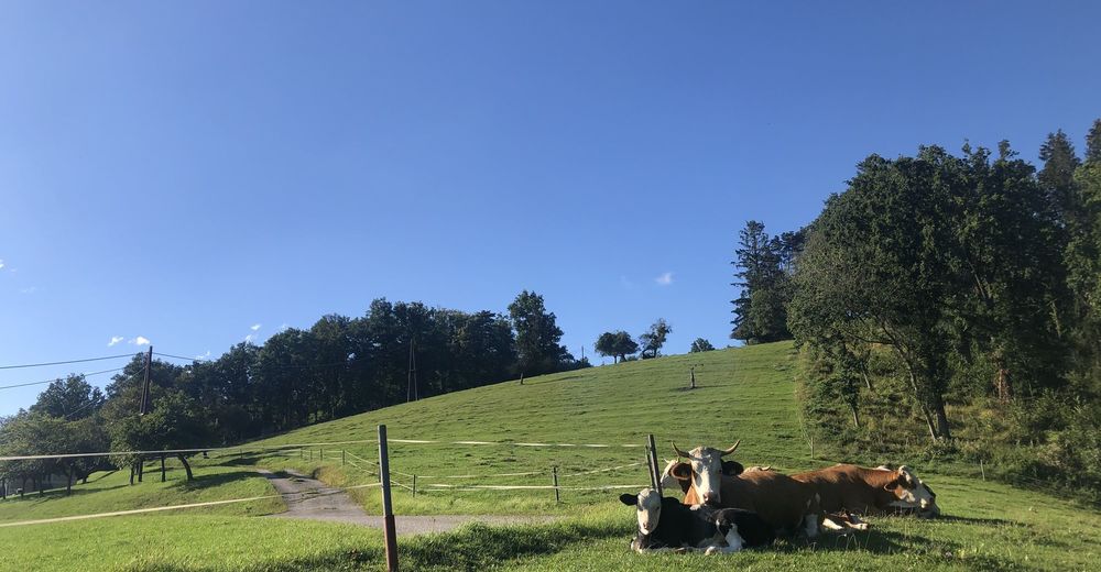
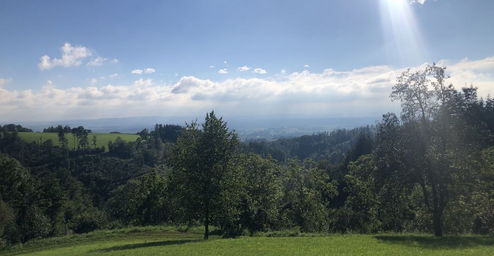
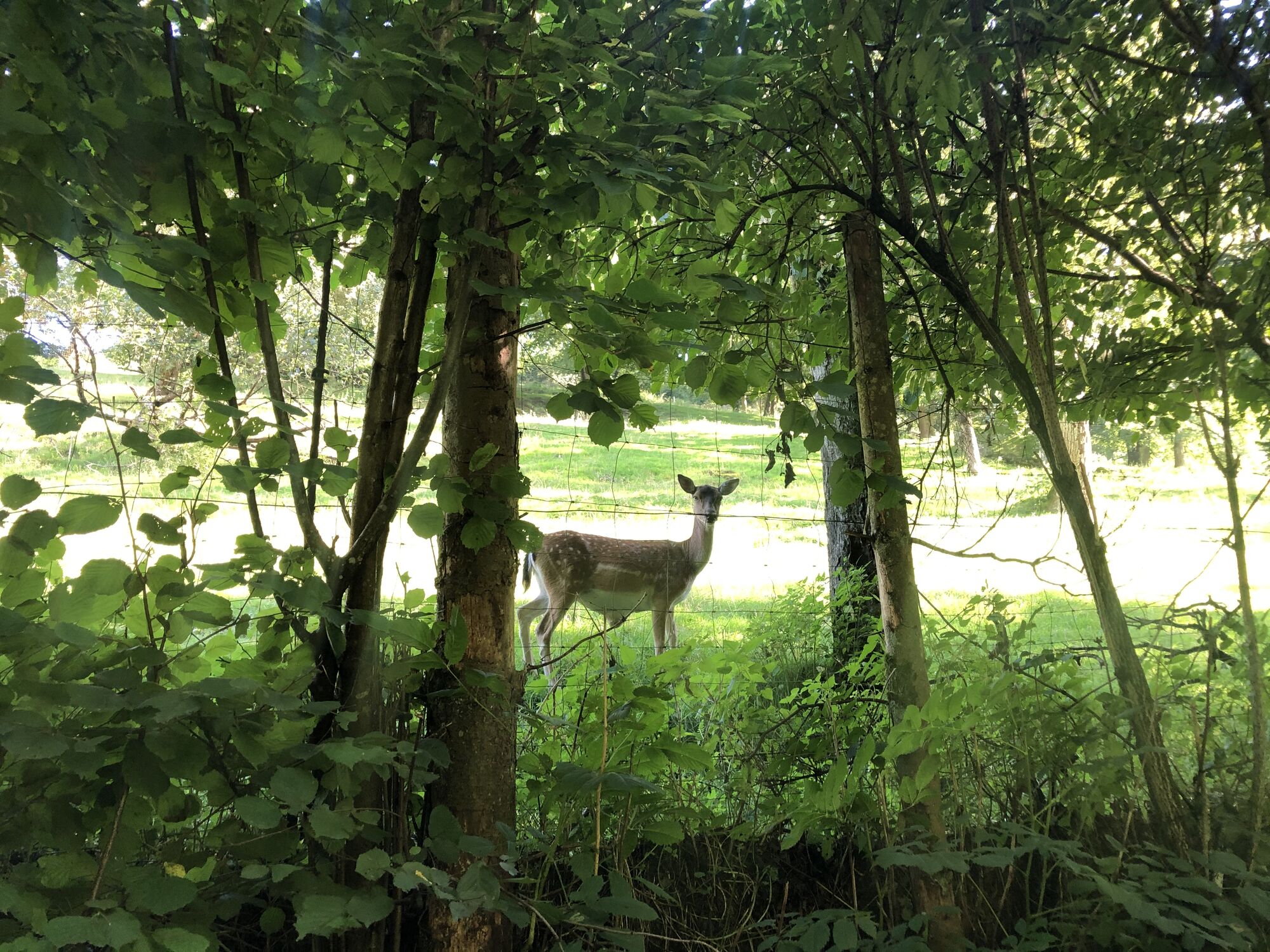
Schöne Wanderung für Familien.
- Difficoltà
-
facile
- Valutazione
-
- Percorso
-
Ottensheim0,2 kmWeingarten8,4 kmOttensheim9,0 km
- La stagione migliore
-
genfebmaraprmaggiulugagosetottnovdic
- Punto più alto
- 449 m
- Riposo/Ritiro
-
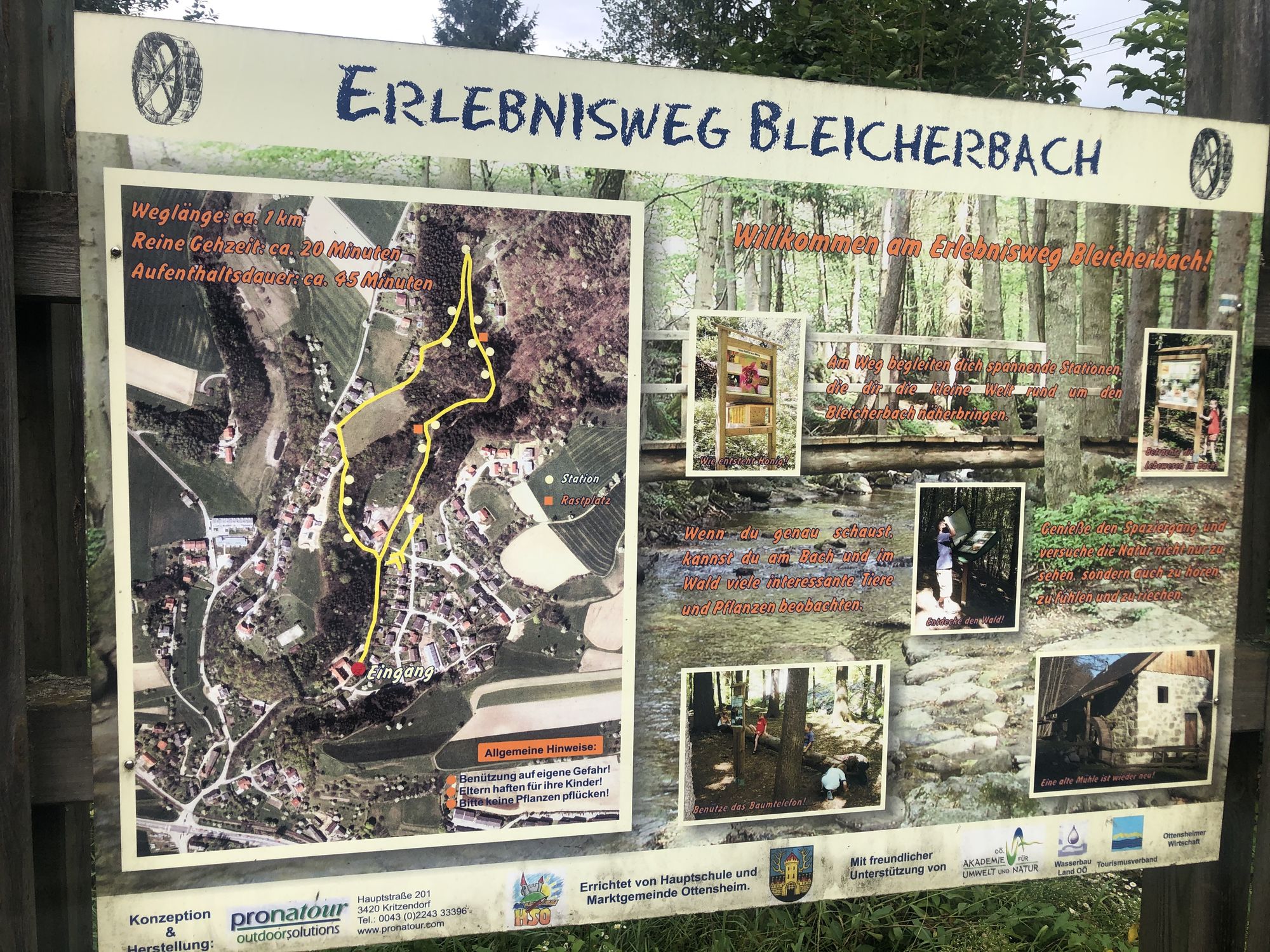
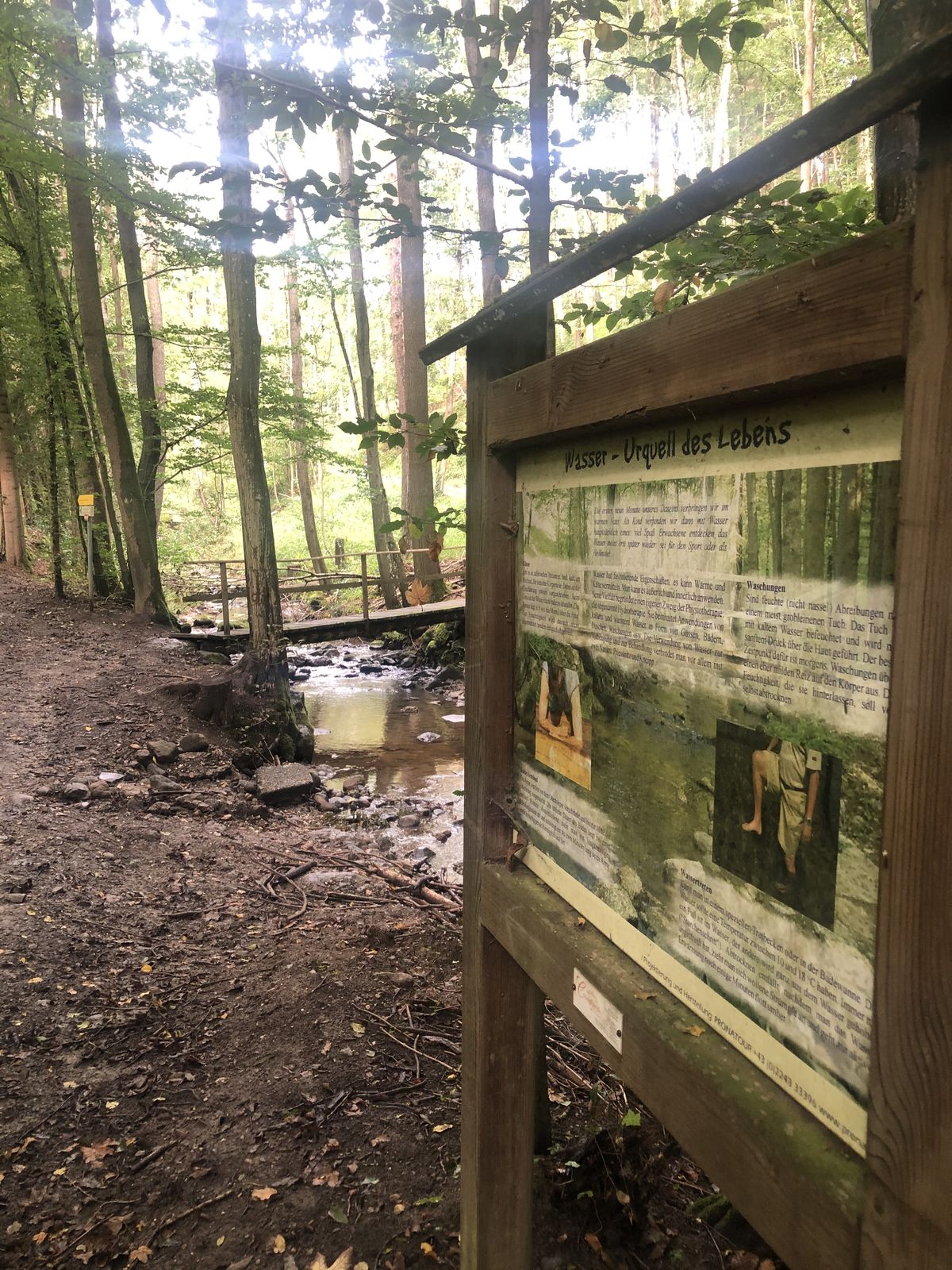
keine Einkehrmöglichkeiten am Weg


- Fonte
- HerrFessor
GPS Downloads


Condizioni dei sentieri
Asfalto
Ghiaia
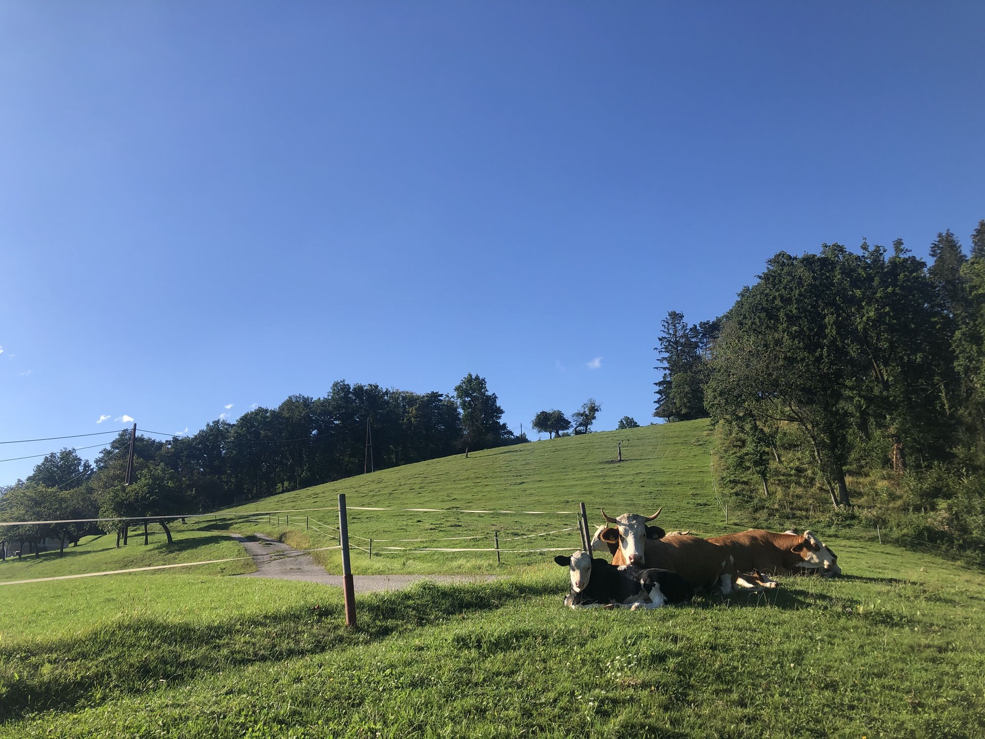
Prato
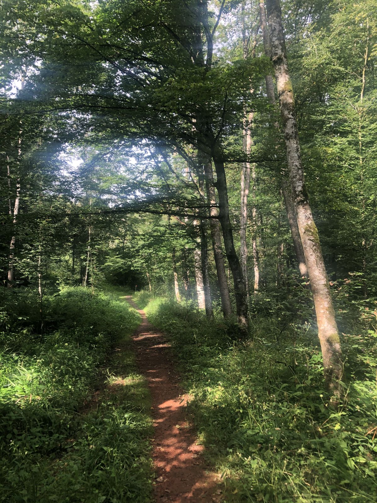
Foresta
Roccia
Esposta
Altri tour nelle regioni
-
Mühlviertel
1791
-
Linz & Region Linz
842
-
Ottensheim
300