Dati percorsi
12,2km
1.140
- 1.743m
679hm
684hm
04:22h
- Descrizione rapida
-
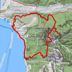
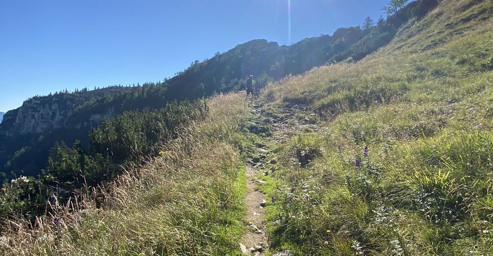
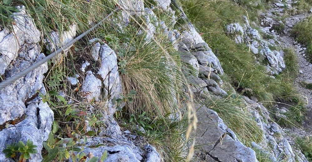
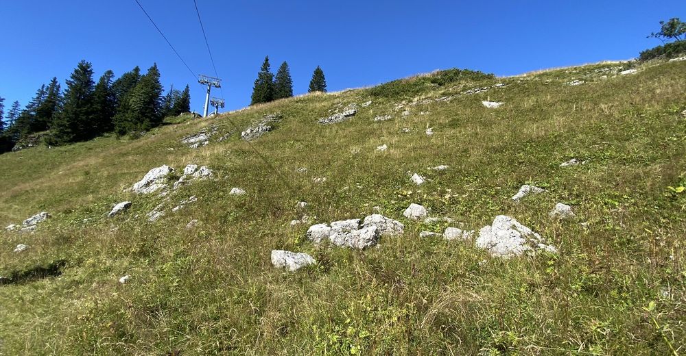
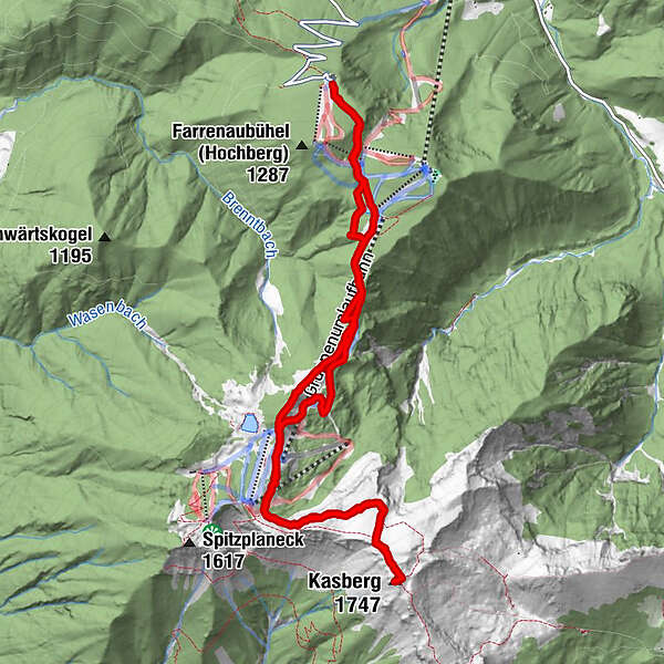
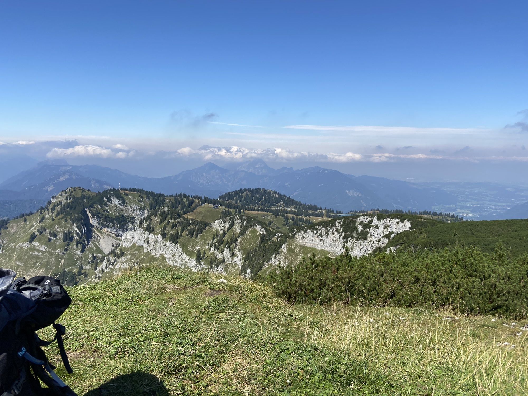
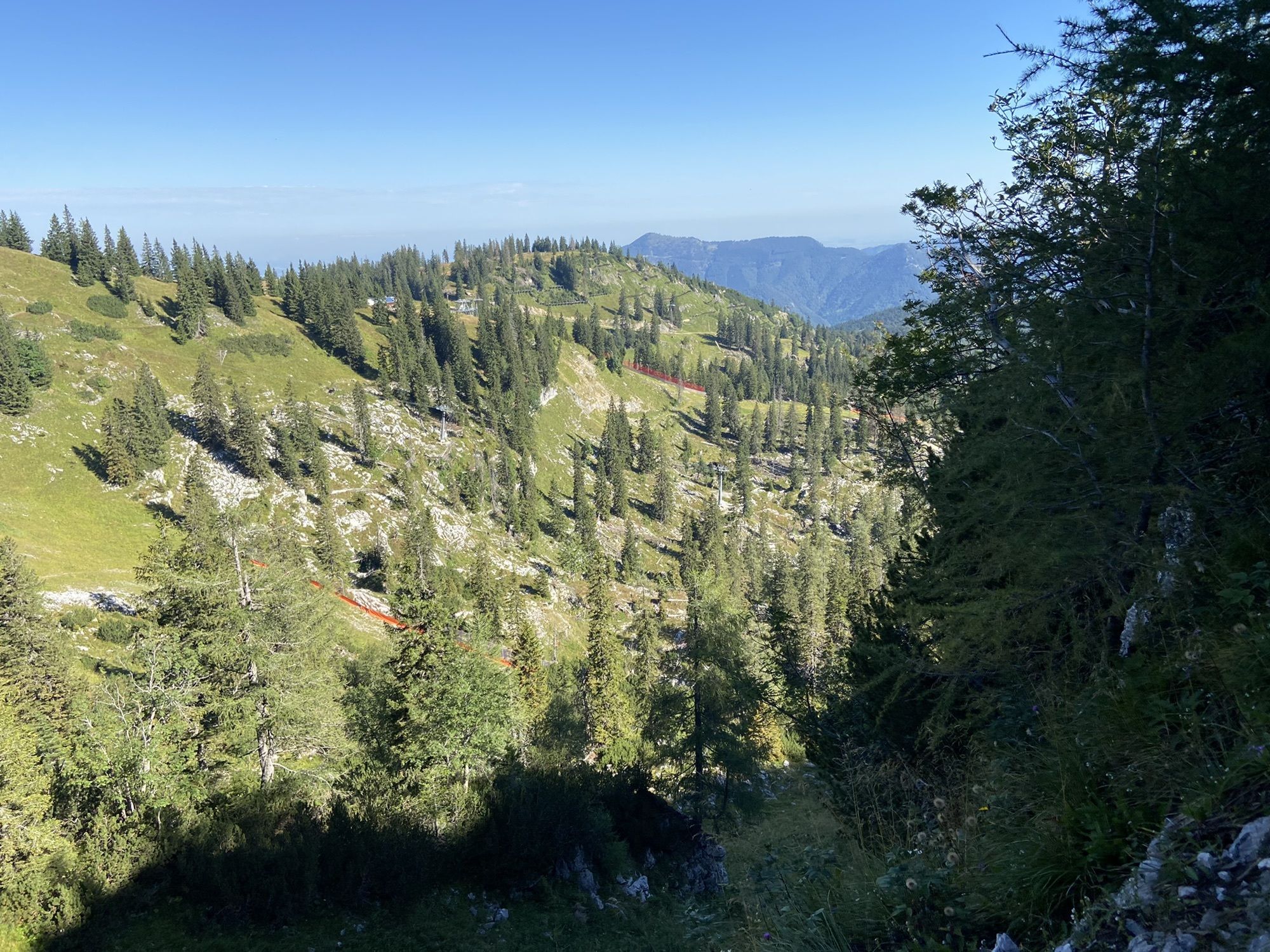
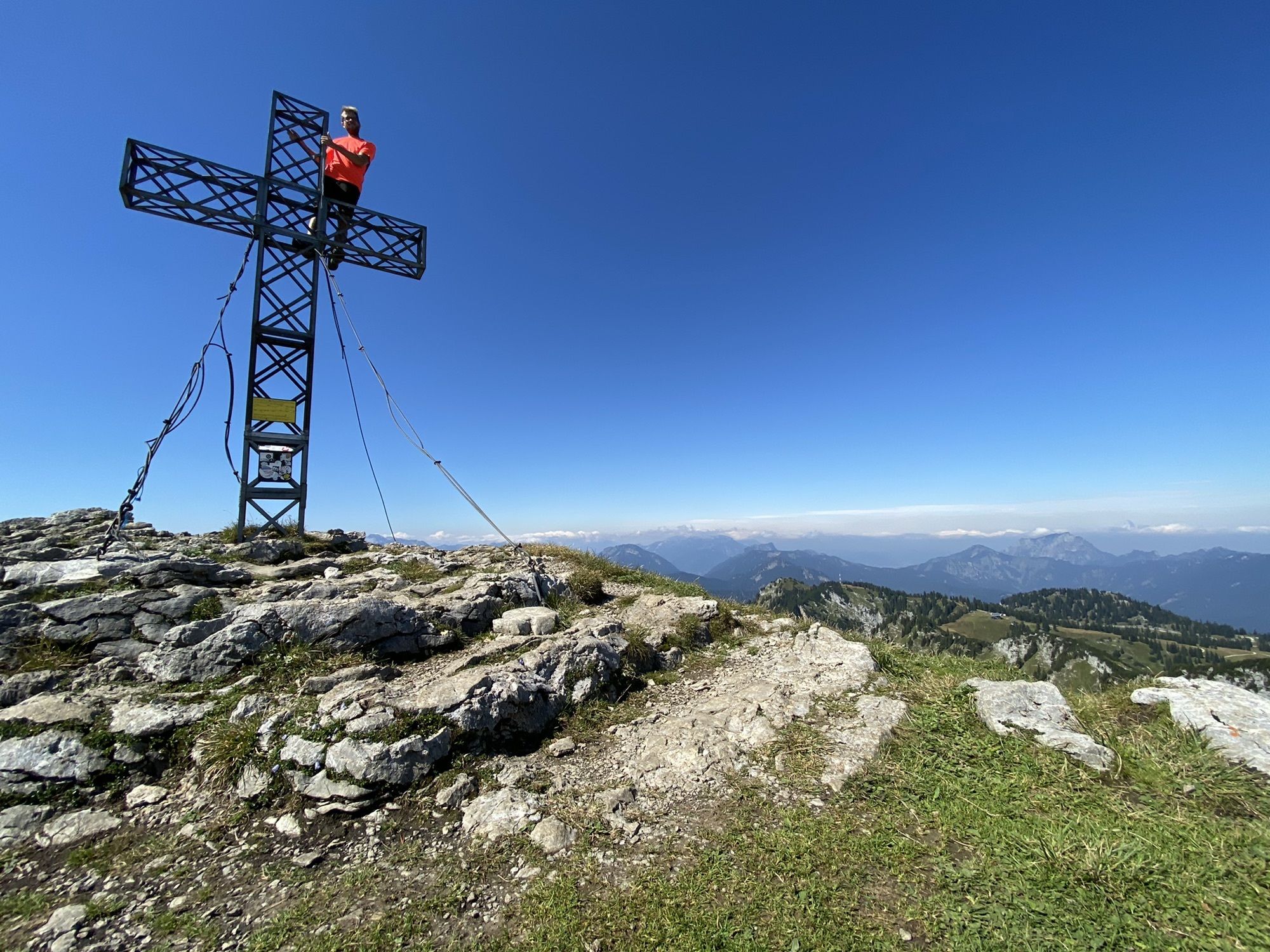
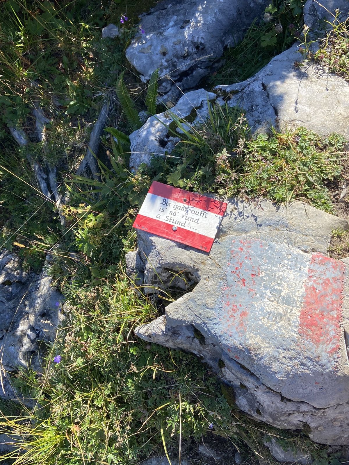
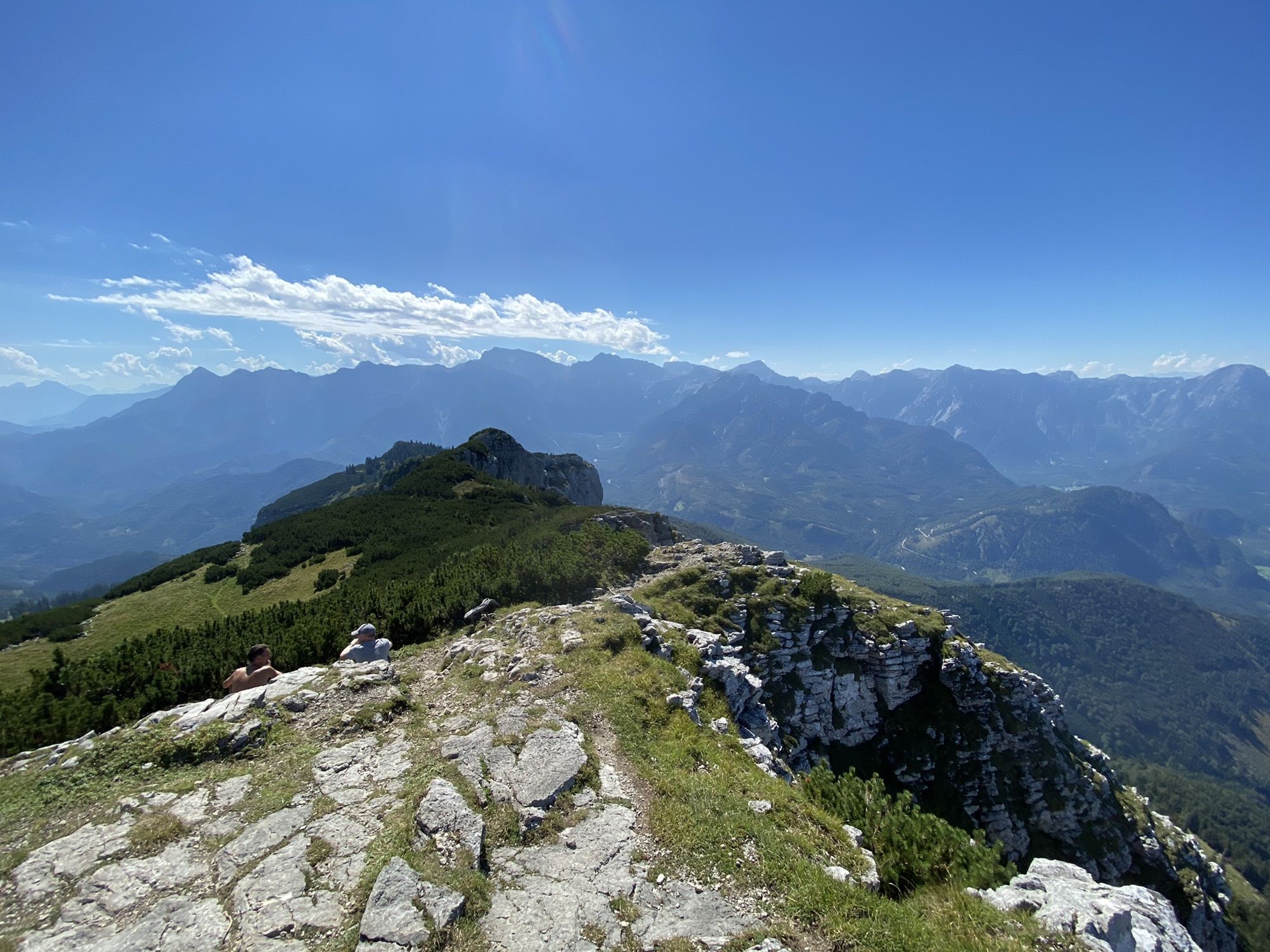
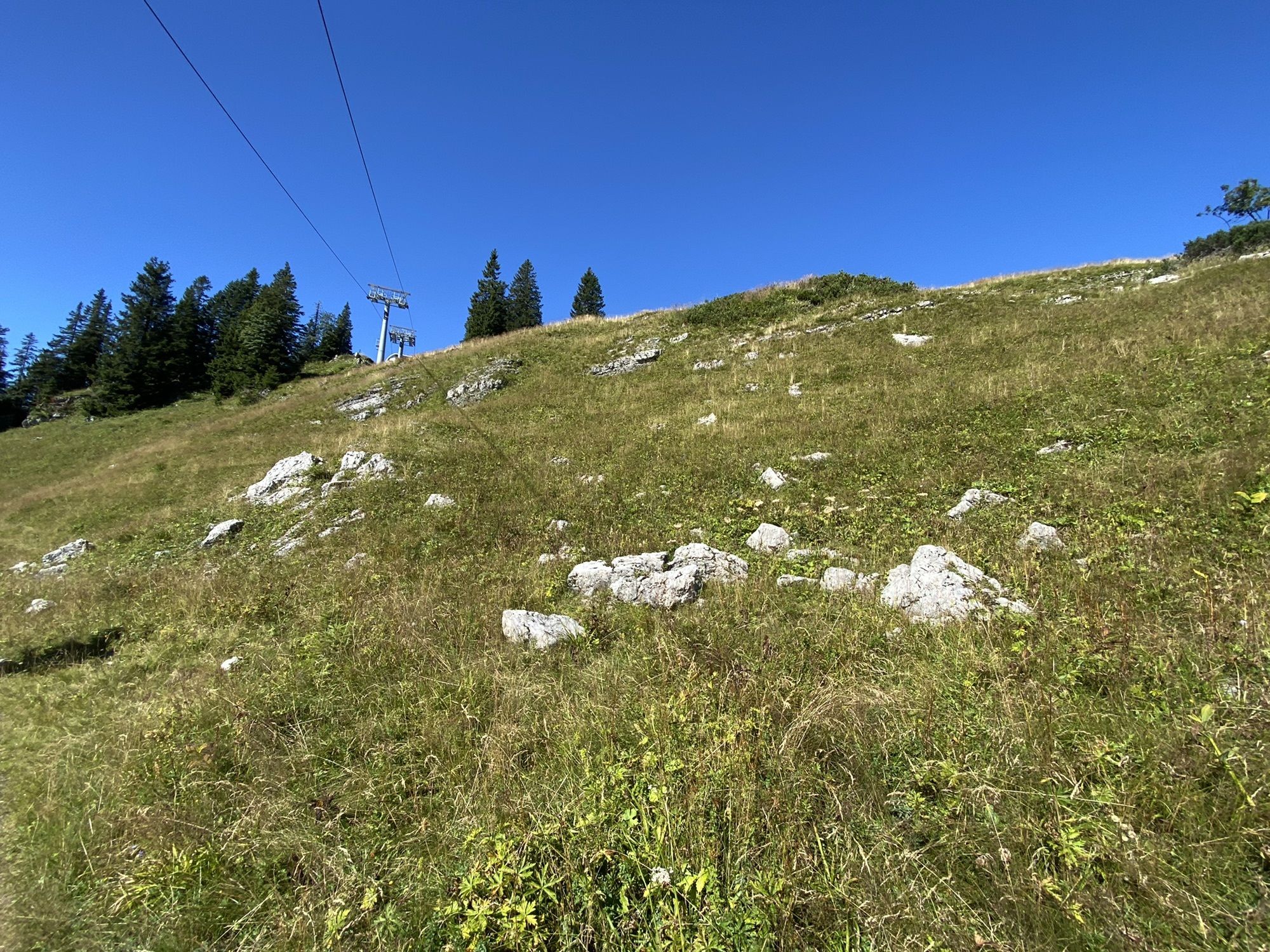
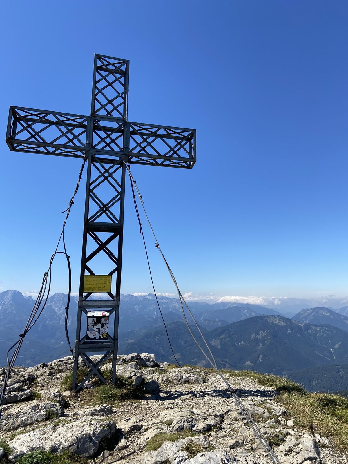
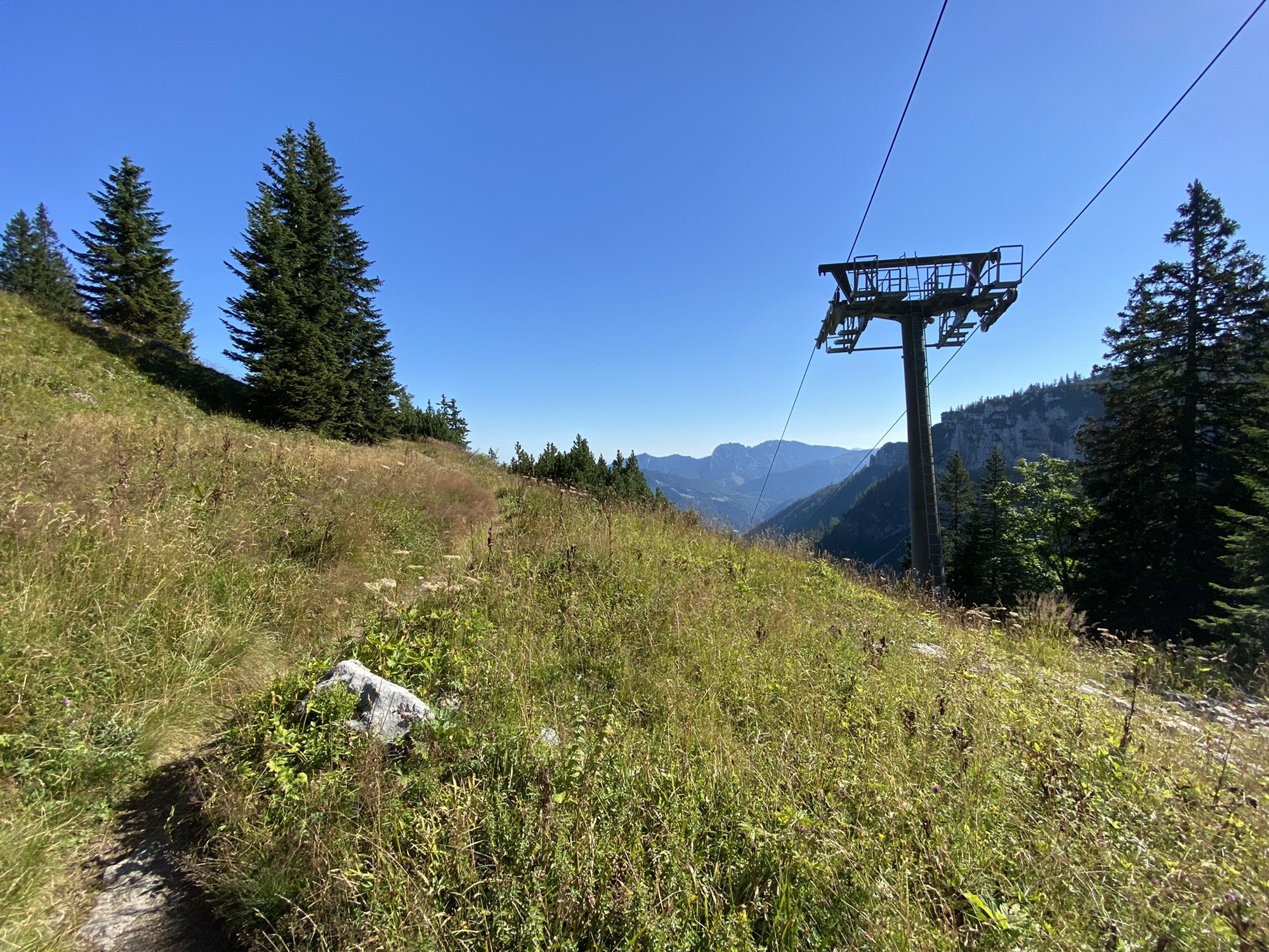
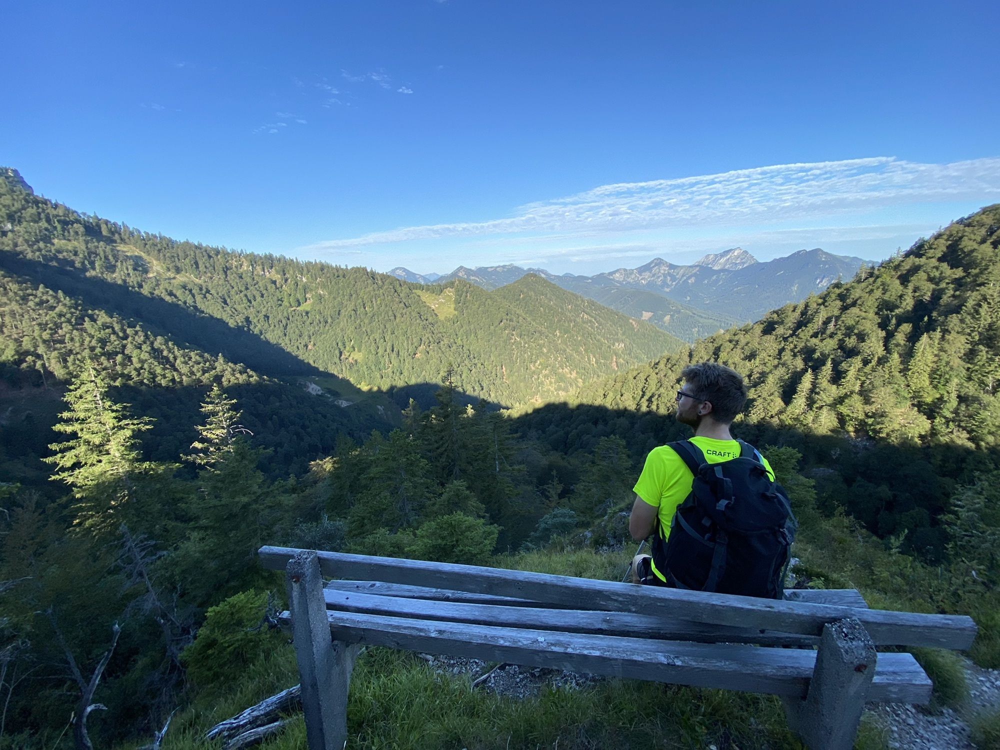
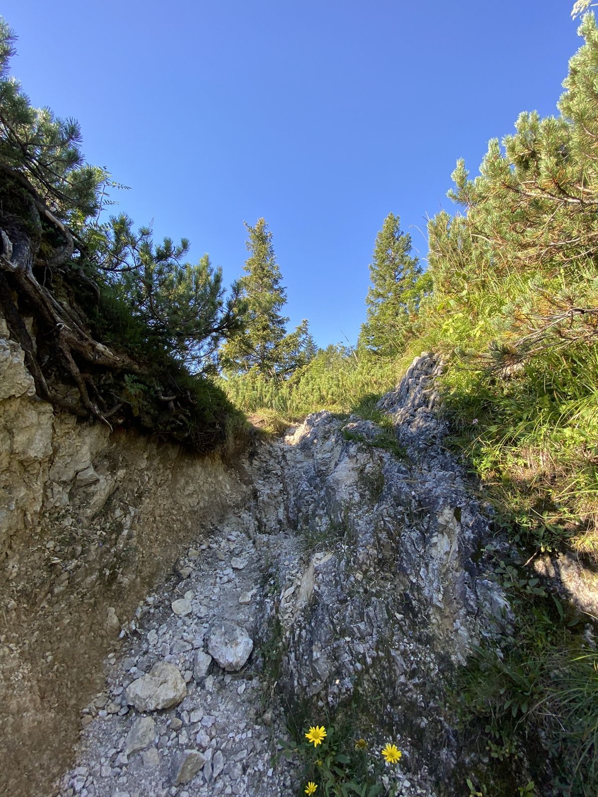
Hochberghaus - Sepp-Huber-Hütte - Kasberg
- Difficoltà
-
intermedio
- Valutazione
-
- Percorso
-
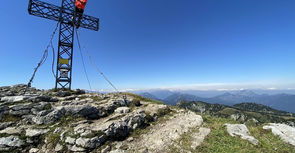
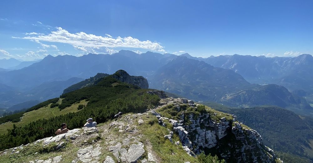
Benn Nock (1.520 m)3,2 kmSepp Huber Hütte (1.506 m)3,7 kmKasberg (1.743 m)6,0 kmSepp Huber Hütte (1.506 m)8,3 kmHochberghaus12,2 km
- La stagione migliore
-
genfebmaraprmaggiulugagosetottnovdic
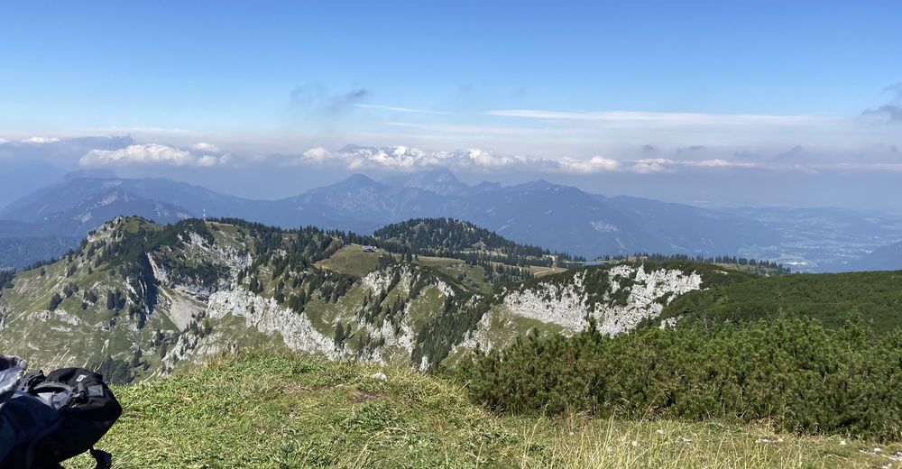
- Punto più alto
- 1.743 m


GPS Downloads


Altri tour nelle regioni
-
Ausseerland - Salzkammergut
3393
-
Traunsee-Almtal
911
-
Grünau im Almtal
288