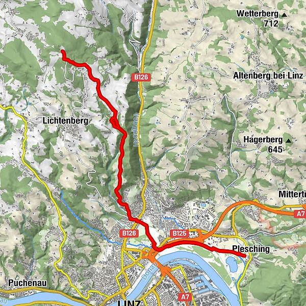
Dati percorsi
24,56km
249
- 884m
659hm
663hm
04:46h
- Descrizione rapida
-
GIS Stadtwanderung ab Pleschingersee
- Difficoltà
-
facile
- Valutazione
-
- Percorso
-
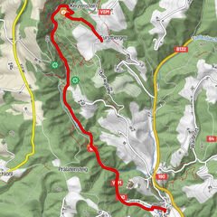
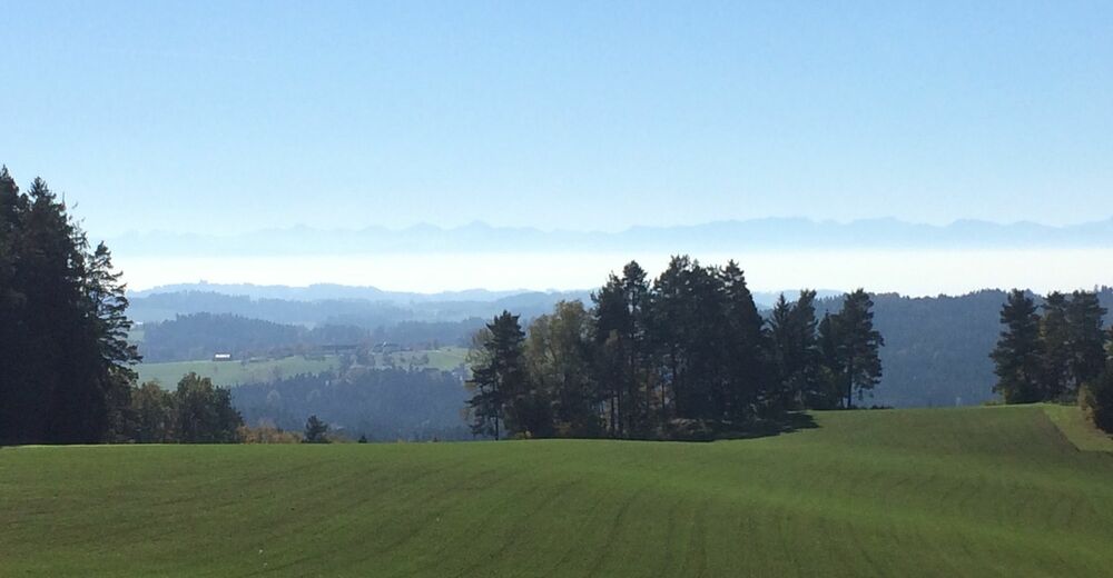
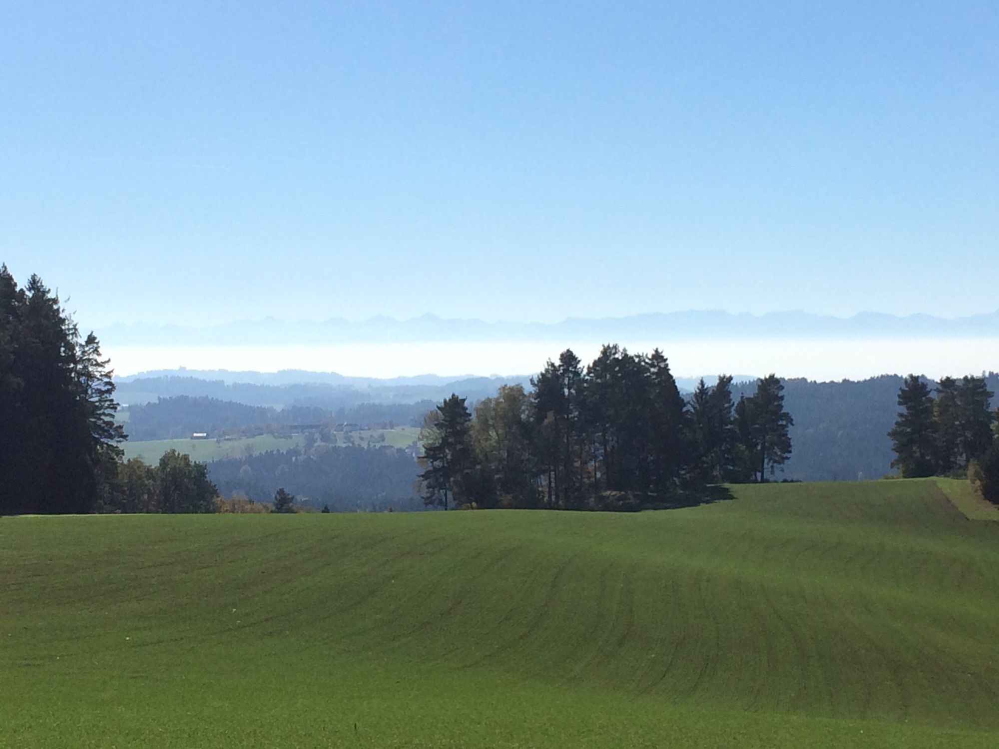
PleschingLinz (266 m)3,2 kmGründberg Kapelle5,8 kmGründberg6,3 kmPanoramastüberl10,5 kmGasthaus zur Gis12,4 kmPanoramastüberl14,4 kmGründberg18,4 kmGründberg Kapelle18,9 kmLinz (266 m)21,5 kmPlesching24,4 km
- La stagione migliore
-
genfebmaraprmaggiulugagosetottnovdic
- Punto più alto
- 884 m
GPS Downloads


Altri tour nelle regioni
-
Mühlviertel
1781
-
Linz & Region Linz
844
-
Linz
351