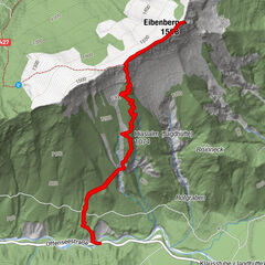
Dati percorsi
3,56km
506
- 603m
113hm
120hm
00:49h
- Descrizione rapida
-
Gemütliche Wanderung
- Difficoltà
-
facile
- Valutazione
-
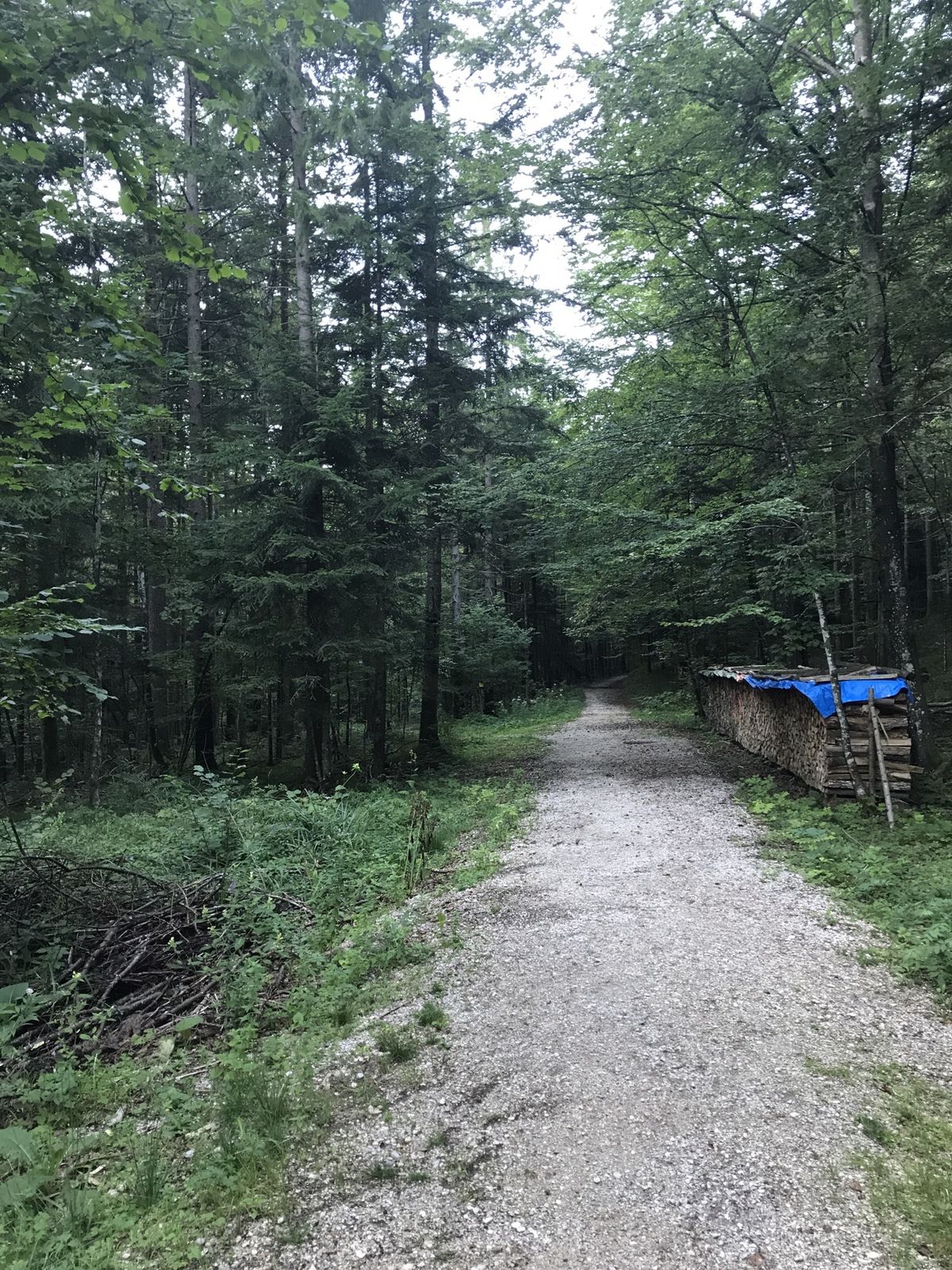
- Percorso
-
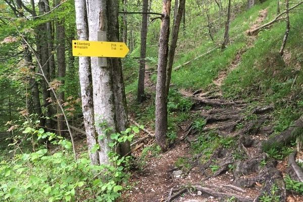
Unterjoch0,3 km
- Punto più alto
- 603 m

GPS Downloads


Altri tour nelle regioni
-
Salzkammergut Oberösterreich
3078
-
Dachstein Salzkammergut
1700
-
Bad Goisern
389