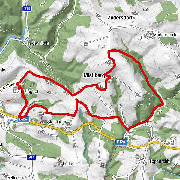
Dati percorsi
6,71km
339
- 494m
159hm
166hm
02:00h
- Difficoltà
-
facile
- Valutazione
-
- Punto di partenza
-
Bildungshaus Greisinghof, Mistlberg 20, 4284 Tragwein
- Percorso
-
Mistlberg1,2 kmZudersdorf2,2 km
- La stagione migliore
-
genfebmaraprmaggiulugagosetottnovdic
- Punto più alto
- 494 m
- Destinazione
-
Bildungshaus Greisinghof, Mistlberg 20, 4284 Tragwein
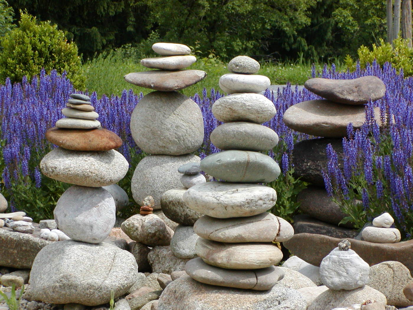
- Riposo/Ritiro
-
Ev. beim Mostheurigen Windischhofer!
- Cartine
-
Wanderkarte Tragwein


GPS Downloads


Condizioni dei sentieri
Asfalto
Ghiaia
Prato
Foresta
Roccia
Esposta
Altri tour nelle regioni
-
Mühlviertel
1781
-
Mühlviertler Alm Freistadt
1069
-
Tragwein
263