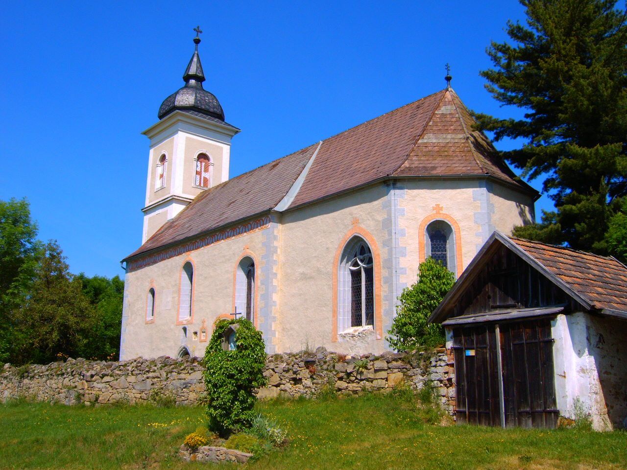
© Marktgemeinde Neufelden
Dati percorsi
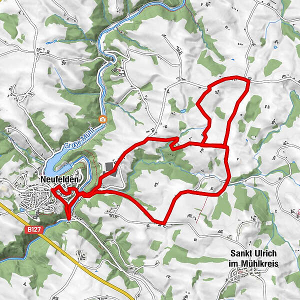
12,26km
447
- 617m
528hm
04:00h
- Descrizione rapida
-
Mittelschwere Wanderung mit einigen Höhenunterschieden
- Valutazione
-
- Punto di partenza
-
Ortszentrum - Kreuzung Alter Berg 2
- Percorso
-
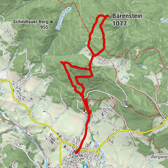
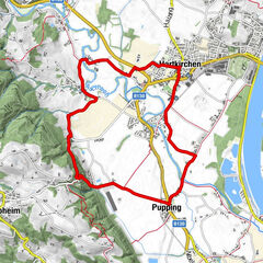
Neufelden0,0 kmArme-Sünder-Kapelle0,1 kmUnternberg0,8 kmSchörgenhub2,5 kmSteinbruch, St. Anna6,6 kmSteinbruch6,7 kmPlankenberg10,5 kmUnternberg11,6 kmPfarrkirche Neufelden11,9 kmNeufelden12,1 km
- Punto più alto
- 617 m
- Riposo/Ritiro
-
Mühltalhof
- Cartine
-
Granitland Mühlviertel
www.granitland.at/
GPS Downloads


Condizioni dei sentieri
Asfalto
Ghiaia
Prato
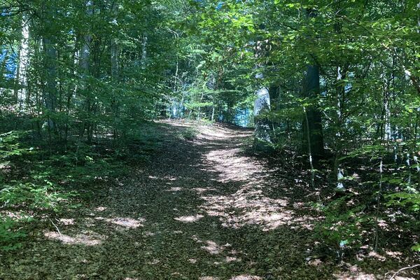
Foresta
Roccia
Esposta
Altri tour nelle regioni
-
Mühlviertel
1781
-
Mühlviertler Hochland
749
-
Neufelden
214