
© Gmd. Hinterstoder
Dati percorsi
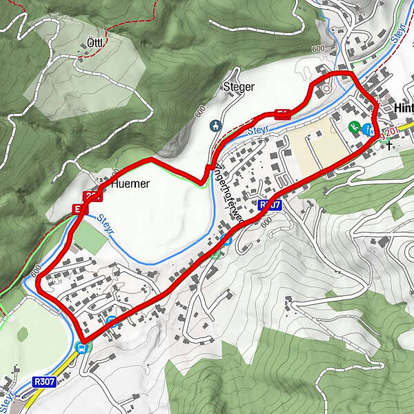
17,7km
587
- 1.391m
915hm
00:44h
- Valutazione
-
- Percorso
-
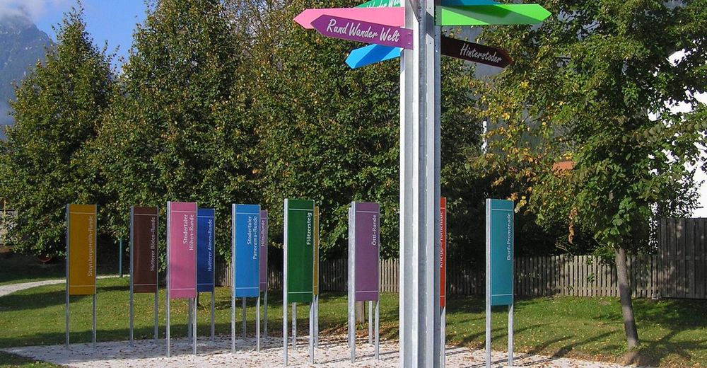
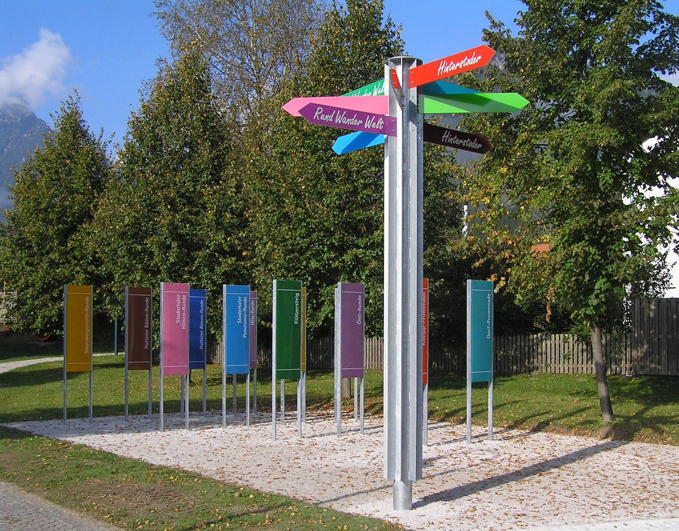
Gasthof Zur Post0,0 kmHinterstoder0,0 kmKleiner Italiener2,9 kmGasthof Zur Post2,9 km
- Punto più alto
- 1.391 m
- Cartine
-
Wanderkarte Pyhrn-Priel erhältlich in allen Pyhrn-Priel Tourismusbüros!
GPS Downloads


Altri tour nelle regioni
-
Traunviertel
1940
-
Urlaubsregion Pyhrn - Priel
1440
-
Hinterstoder
395


