© TVB Mühlviertler Kernland
© TVB Mühlviertler Kernland
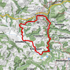
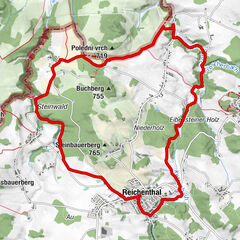
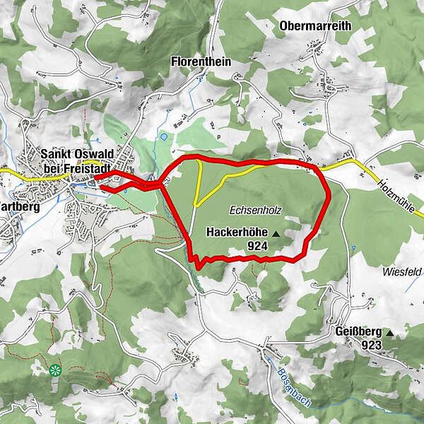
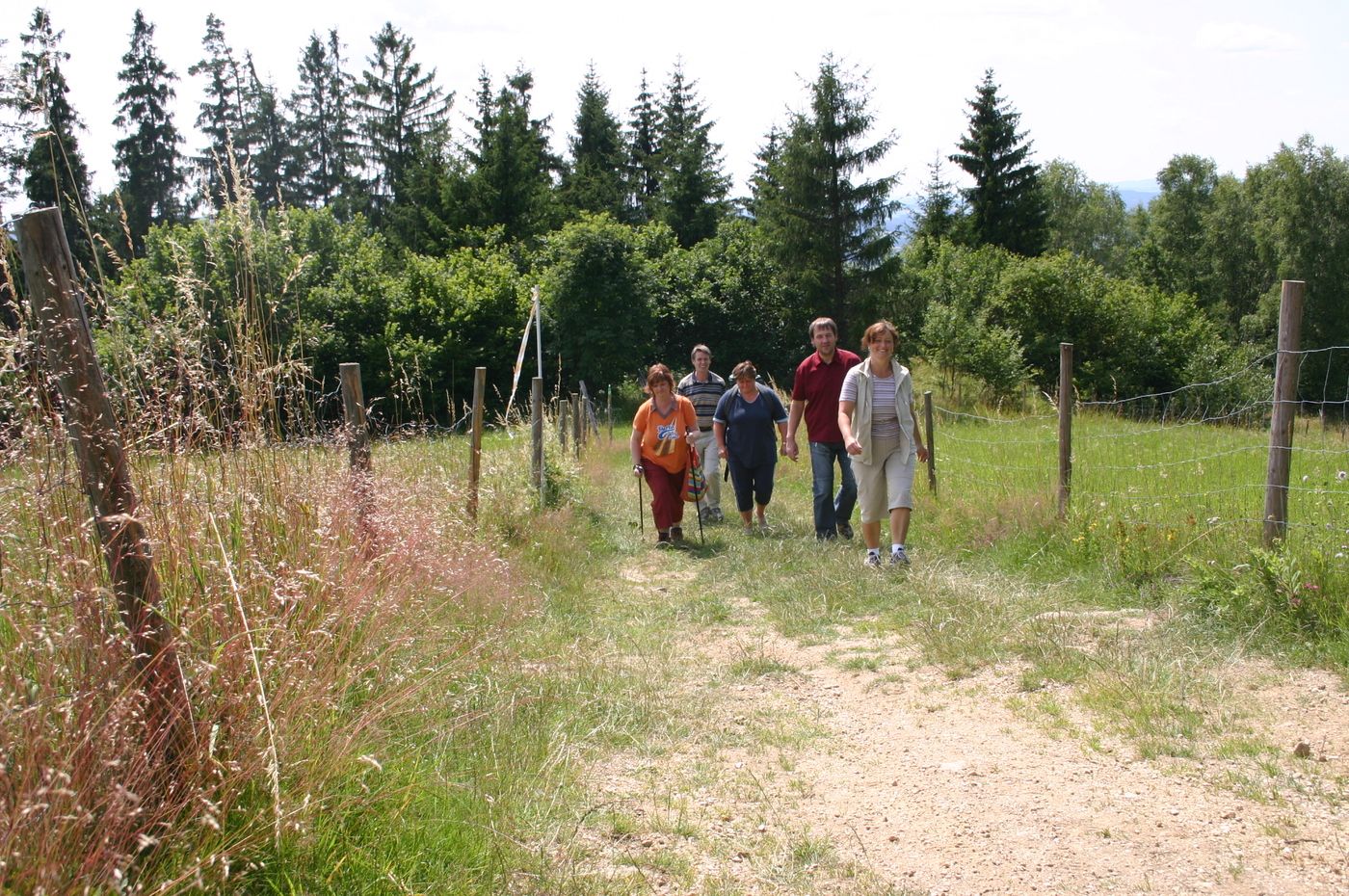
Dati percorsi
7,31km
617
- 890m
273hm
271hm
02:30h
- Difficoltà
-
facile
- Valutazione
-
- Punto di partenza
-
Marktturm St. oswald b. Fr.
- Percorso
-
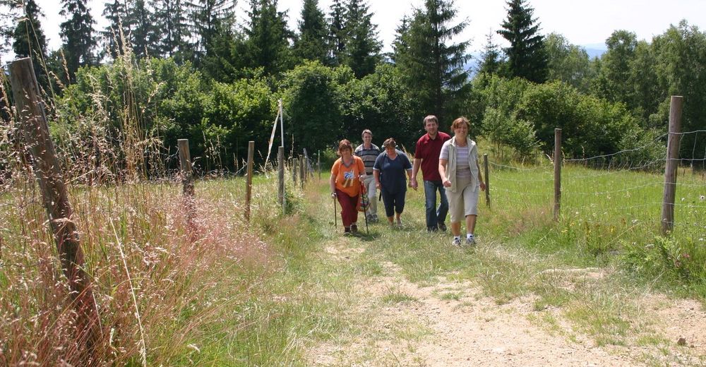
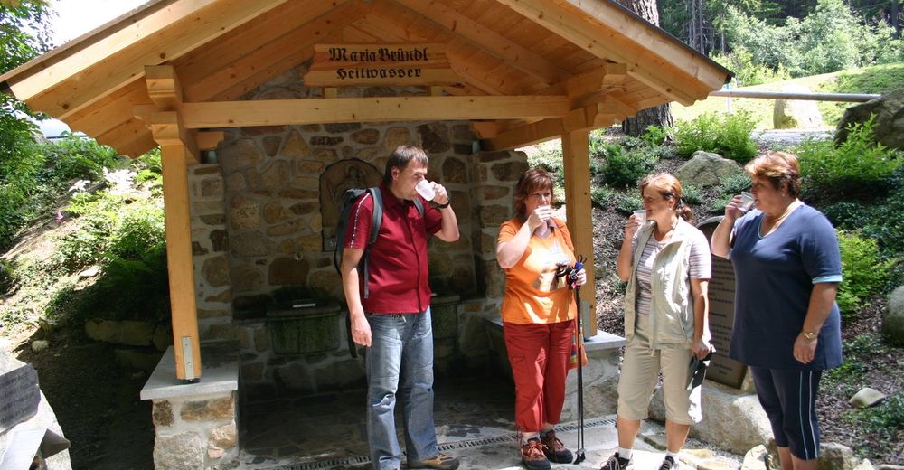
Sankt Oswald bei FreistadtGasthof Zur PostGasthof zur Holzmühle2,6 kmHolzmühle2,6 kmRaphaelshöhe5,2 kmMaria Bründl Kapelle5,7 kmSankt Oswald bei Freistadt7,1 km
- La stagione migliore
-
genfebmaraprmaggiulugagosetottnovdic
- Punto più alto
- 890 m
- Riposo/Ritiro
-
Gastronomie im Ort
- Cartine
-
TVB MÜhlviertler Kernland
Hauptplatz 14
4240 Freistadt, Österreich
Tel.: +43 (7942)75700
Fax: +43 (7942) 75700 20
E-Mail: kernland@oberoesterreich.at
WWW: www.muehlviertler-kernland.at

GPS Downloads


Condizioni dei sentieri
Asfalto
Ghiaia
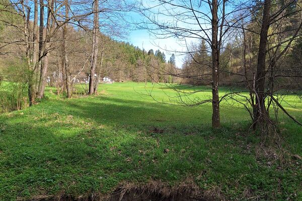
Prato
Foresta
Roccia
Esposta
Altri tour nelle regioni
-
Mühlviertel
1779
-
Mühlviertler Alm Freistadt
1067
-
St. Oswald bei Freistadt
328