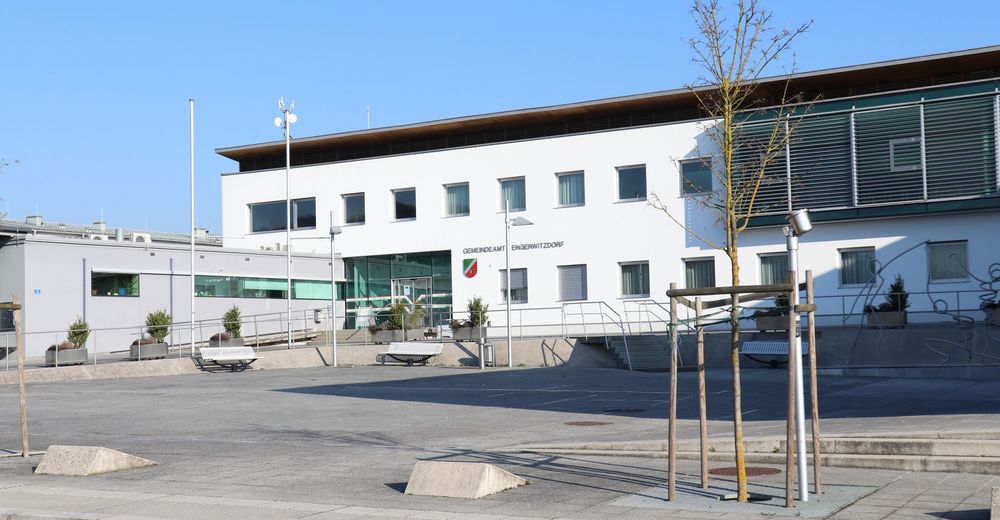
Gemeinde Engerwitzdorf
Dati percorsi
8,25km
317
- 405m
105hm
96hm
02:29h
- Descrizione rapida
-
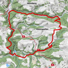
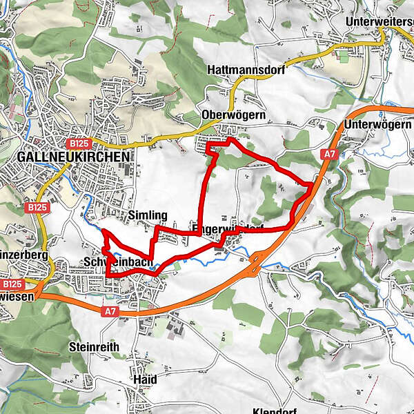
Rundweg Weinbergstraße
- Difficoltà
-
intermedio
- Valutazione
-
- Percorso
-
Schweinbach0,0 kmGallneukirchen0,6 kmSimling1,7 kmOberwögern3,9 kmEngerwitzdorf6,4 kmRadenau7,5 kmSchweinbach7,9 km
- Punto più alto
- 405 m
GPS Downloads


Altri tour nelle regioni
-
Mühlviertel
1781
-
Mühlviertler Sterngartl
1062
-
Engerwitzdorf
302