
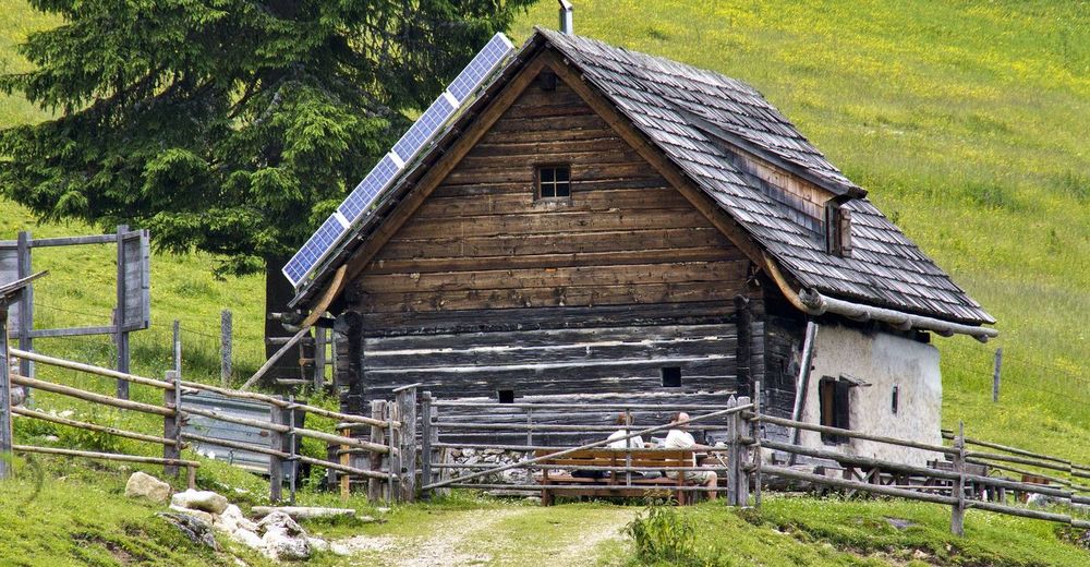
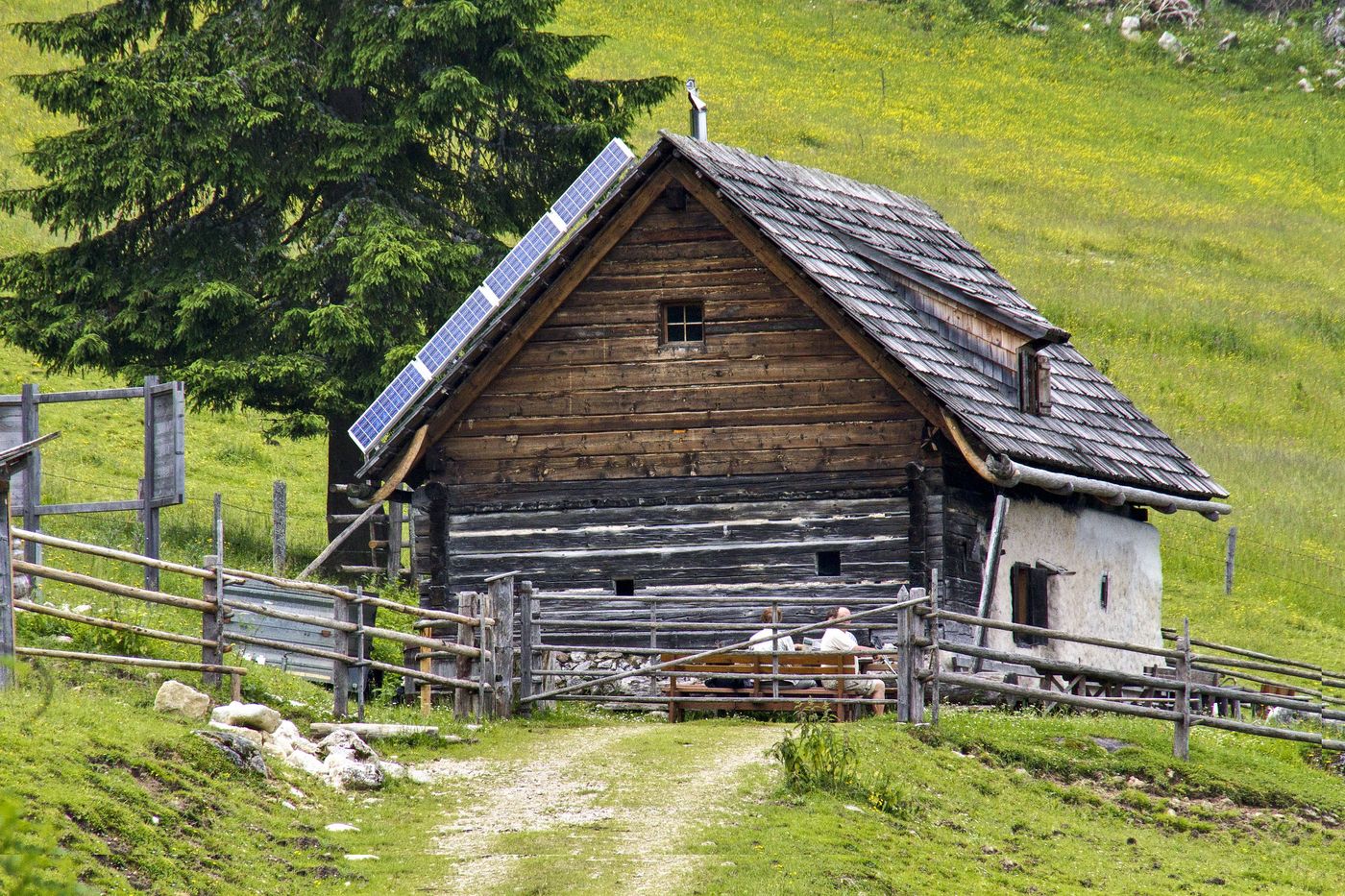
© Sulzbacher
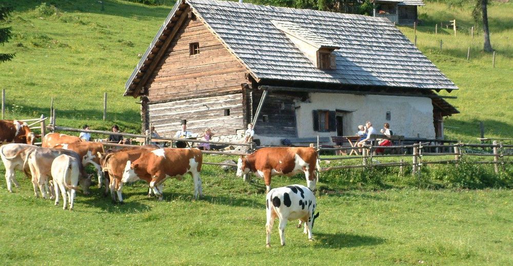
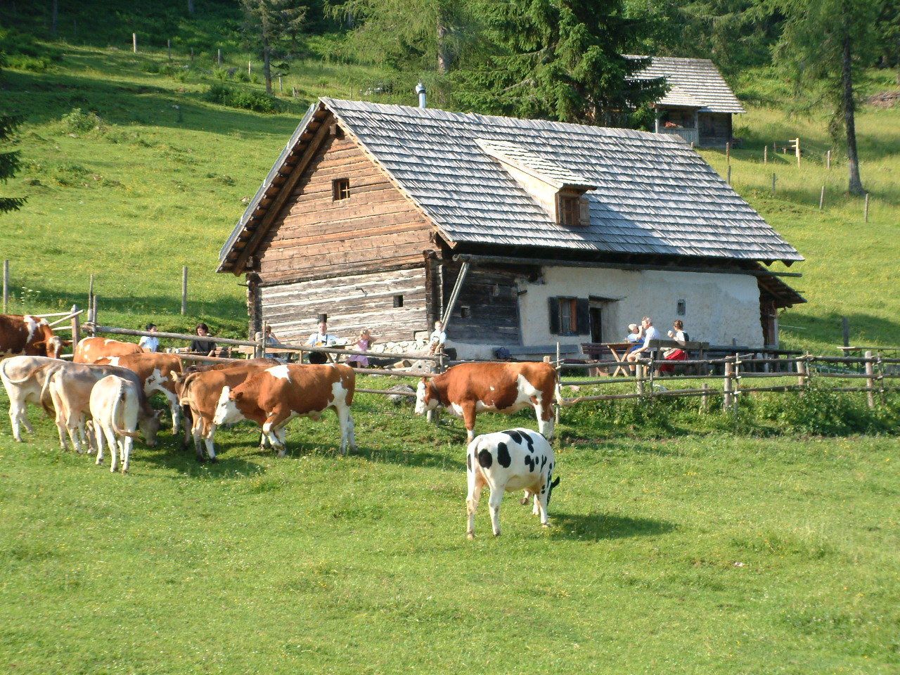
© Schachner

© Schachner
Dati percorsi
6,88km
957
- 1.401m
485hm
01:43h

- Descrizione rapida
-
Schwierigkeitsgrad: rot
- Difficoltà
-
intermedio
- Valutazione
-
- Punto di partenza
-
Almgasthof Baumschlagerberg, wenn man die umgekehrte Strecke geht beginnt man auf den Hutterer Böden
- Percorso
-
Schutzhütte Edtbauernalm5,7 kmBergstation Hössbahn6,8 km
- La stagione migliore
-
genfebmaraprmaggiulugagosetottnovdic
- Punto più alto
- 1.401 m
- Riposo/Ritiro
-
Almgasthof Baumschlagerber, Steyrsbergerreith, Edtbauernalm, Gastronomie auf den Hutterer Böden
- Cartine
-
Wanderkarte Pyhrn-Priel erhätlich in allen Pyhrn-Priel Tourismusbüros!

GPS Downloads


Condizioni dei sentieri
Asfalto
Ghiaia
Prato
Foresta
Roccia
Esposta
Altri tour nelle regioni
-
Traunviertel
1940
-
Urlaubsregion Pyhrn - Priel
1440
-
Hinterstoder
395


