© Sulzbacher
© Sulzbacher
© Sulzbacher
Dati percorsi
5,91km
574
- 805m
70hm
04:00h

- Descrizione rapida
-
Schwierigkeitsgrad: rot
- Valutazione
-
- Punto di partenza
-
Steiner "Witshaus" (bei Raiba) in Vorderstoder
- Percorso
-
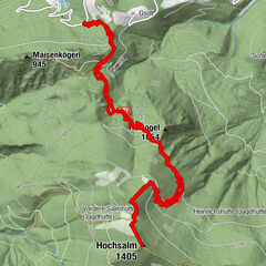
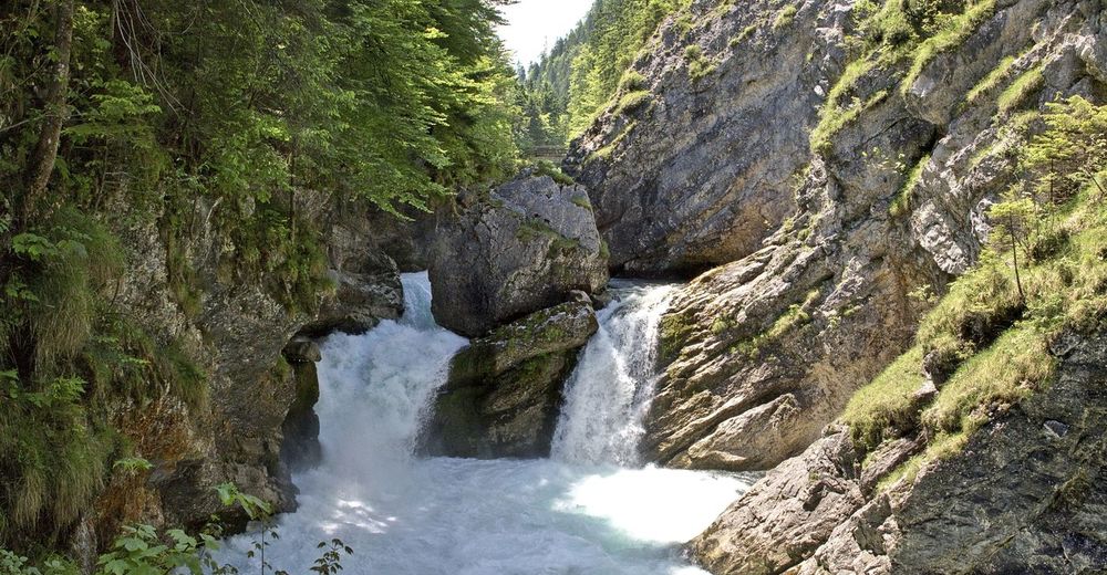
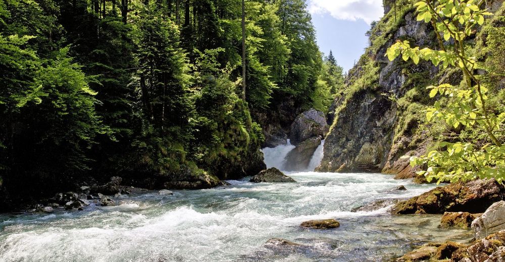
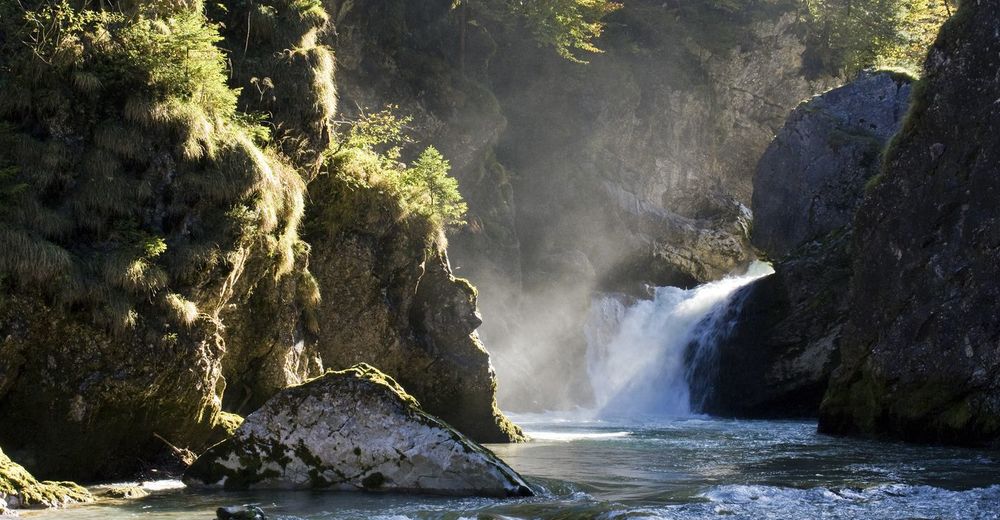
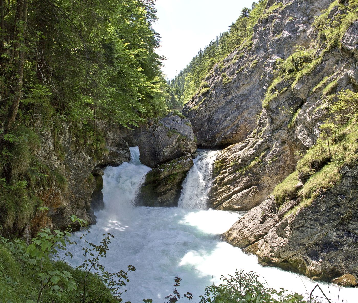
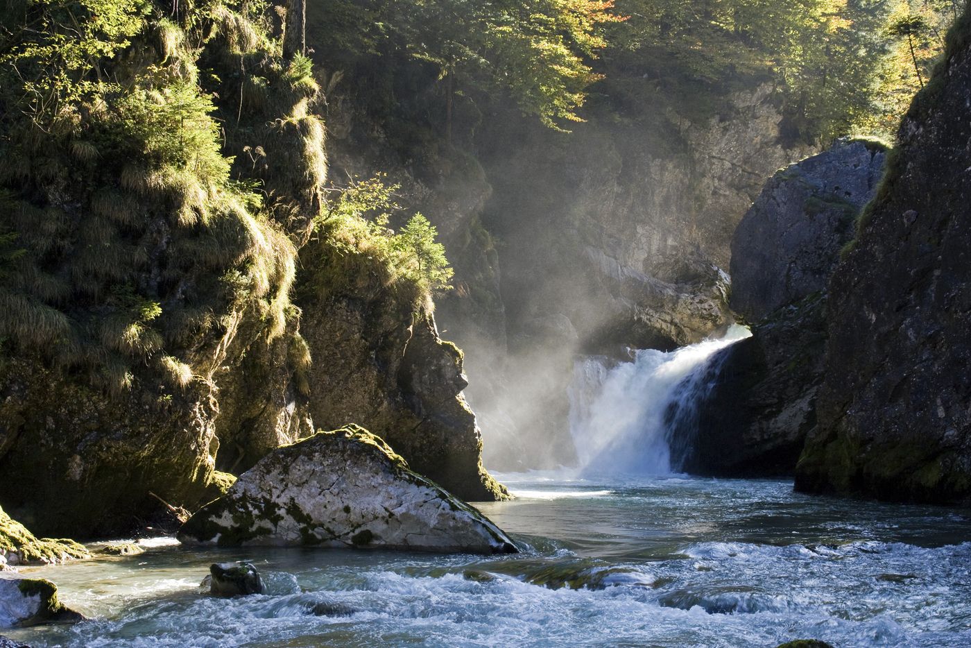
Vorderstoder0,0 kmPfarrgraben0,2 kmSchönau4,8 kmStromboding Wasserfall5,8 km
- Punto più alto
- 805 m
- Cartine
-
Wanderkarte Pyhrn-Priel erhätlich in allen Pyhrn-Priel Tourismusbüros!

GPS Downloads


Condizioni dei sentieri
Asfalto
Ghiaia
Prato
Foresta
Roccia
Esposta
Altri tour nelle regioni
-
Traunviertel
1964
-
Urlaubsregion Pyhrn - Priel
1440
-
Vorderstoder
438