Brunnental - Ring - Ödseen "Auf den Spuren von Kaiserin Sissi"

Escursionismo
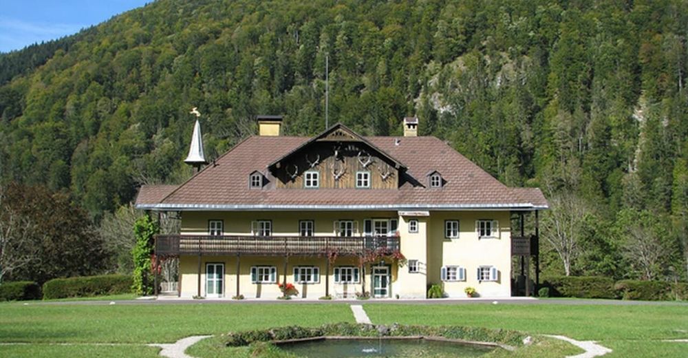
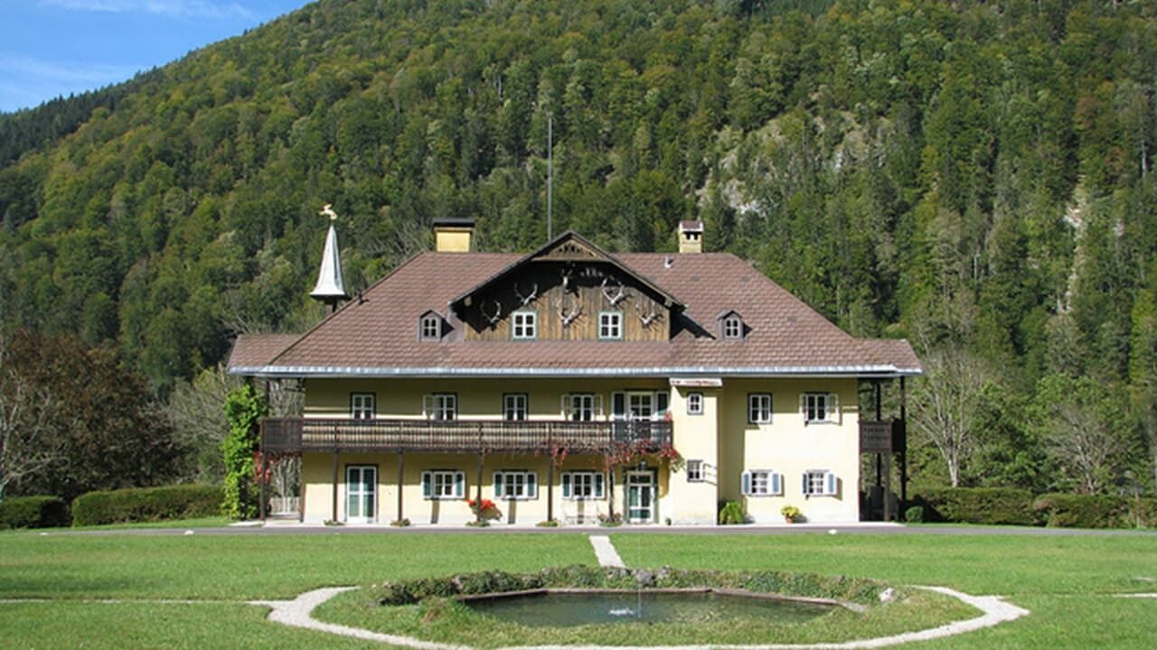
© Fürstenvilla zu Schaumburg-Lippe
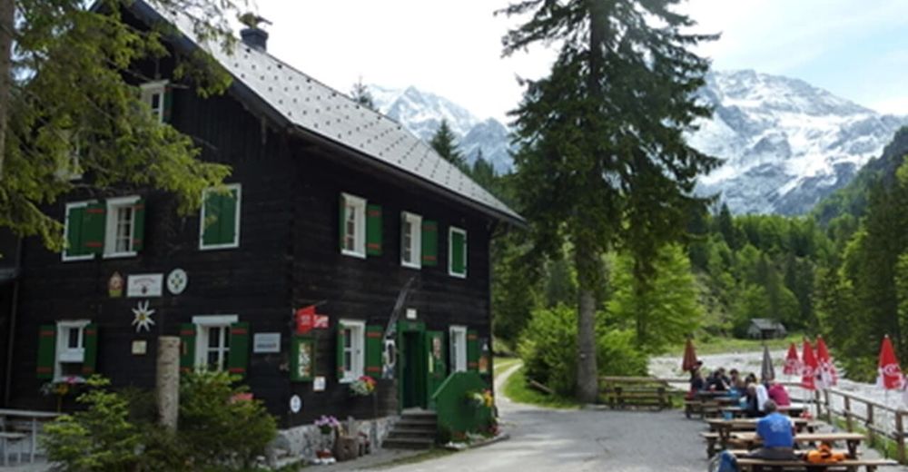
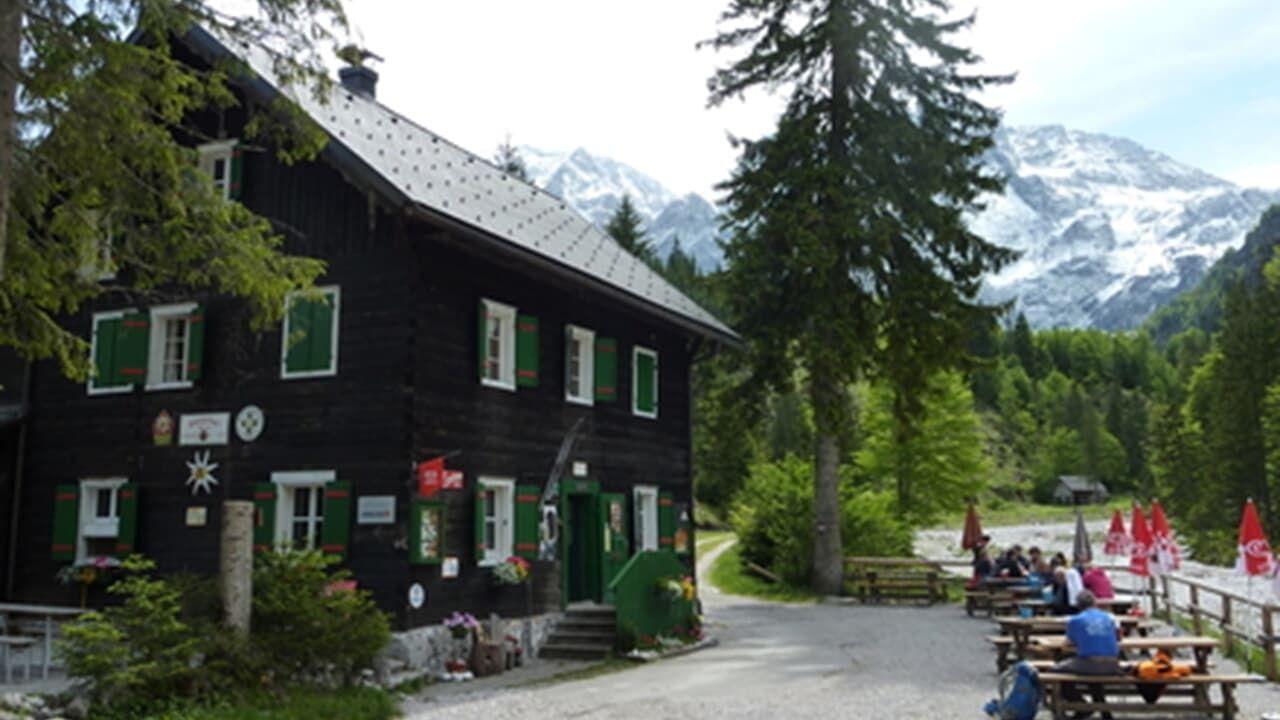
© Almtalerhaus
Dati percorsi
8,6km
550
- 898m
488hm
05:00h
- Descrizione rapida
-
Leichte bis mittlere Wanderung bis zum Großen und Kleinen Ödsee.
- Difficoltà
-
intermedio
- Valutazione
-
- Punto di partenza
-
Parkplatz im Brunnental (Steyrling)
- Percorso
-
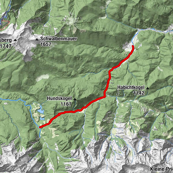
BrunnentalWaldfrieden Steyrling2,2 kmRingsattel (897 m)7,5 kmAlmtalerhaus8,6 km
- La stagione migliore
-
genfebmaraprmaggiulugagosetottnovdic
- Punto più alto
- 898 m
- Riposo/Ritiro
-
Almtaler Haus
- Cartine
-
Wanderkarte Pyhrn-Priel erhätlich in allen Pyhrn-Priel Tourismusbüros!
GPS Downloads


Condizioni dei sentieri
Asfalto
Ghiaia
Prato
Foresta
Roccia
Esposta
Altri tour nelle regioni


