
© Sulzbacher

© TVB Pyhrn-Priel / Erber
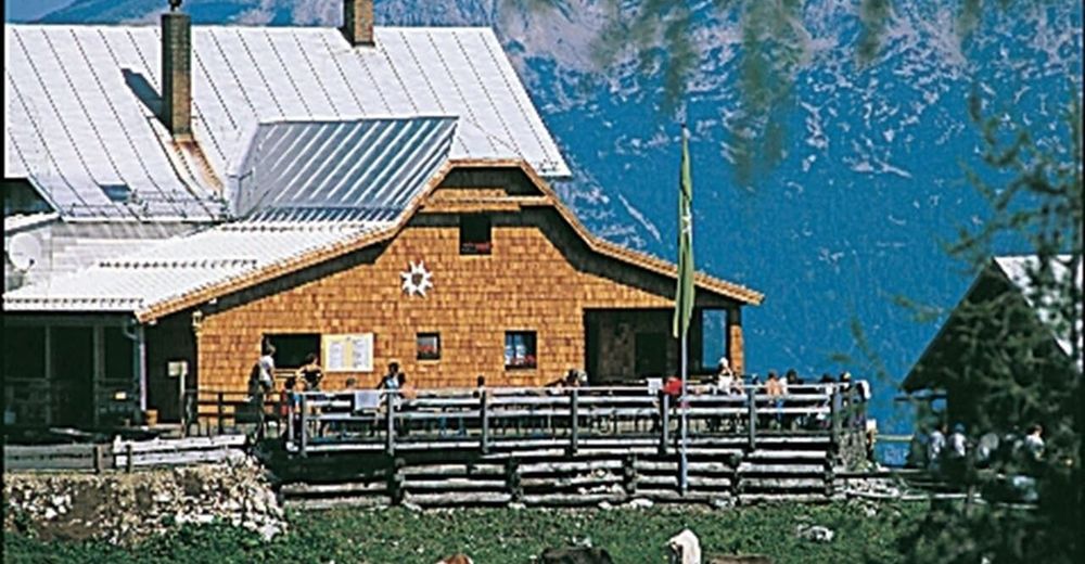
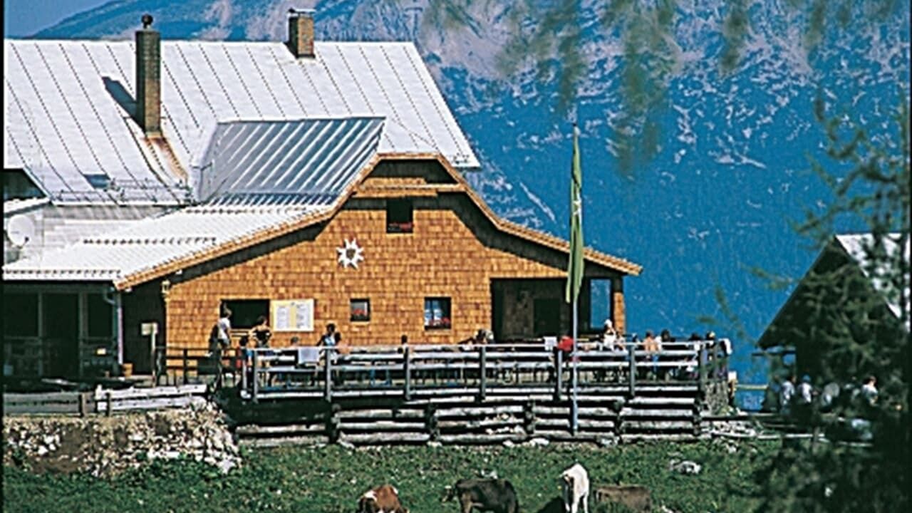
© Dümlerhütte
Dati percorsi
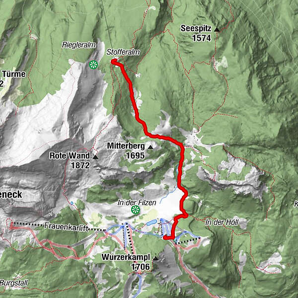
4,37km
1.364
- 1.599m
463hm
03:00h
- Descrizione rapida
-
Schwierigkeitsgrad: blau
- Difficoltà
-
facile
- Valutazione
-
- Punto di partenza
-
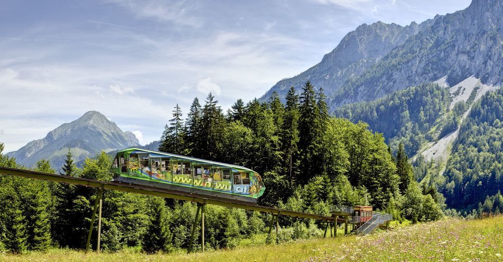
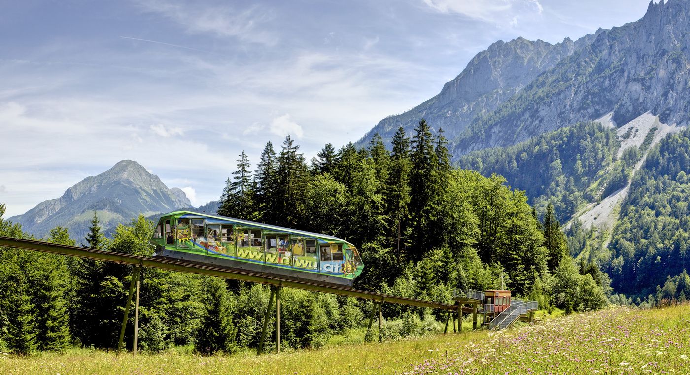
Bergstation Wurzeralm
- Percorso
-
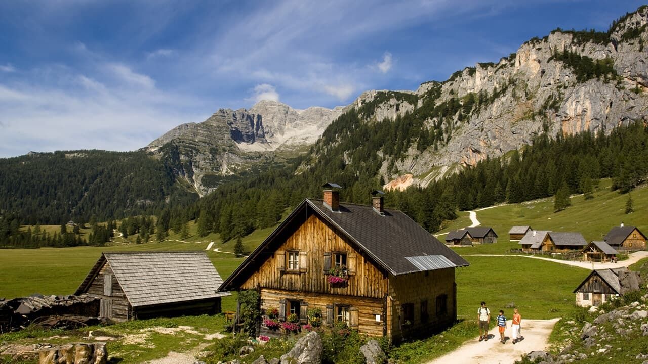
Bergrestaurant WurzeralmWiederlechnerhütte0,1 kmSonnalm0,2 kmNaturfreundehaus0,5 kmHals-Sattel (1.599 m)2,5 kmDümlerhütte4,4 km
- La stagione migliore
-
genfebmaraprmaggiulugagosetottnovdic
- Punto più alto
- 1.599 m
- Riposo/Ritiro
-
Wurzeralm Bergrestaurant, Linzerhaus, Dümlerhütte
- Cartine
-
Wanderkarte Pyhrn-Priel erhätlich in allen Pyhrn-Priel Tourismusbüros!
GPS Downloads


Condizioni dei sentieri
Asfalto
Ghiaia
Prato
Foresta
Roccia
Esposta
Altri tour nelle regioni
-
Gesäuse
2225
-
Urlaubsregion Pyhrn - Priel
1440
-
Spital am Pyhrn - Wurzeralm
434


