Seebach - Schweizersberg (Route 3)

Logo Seebach - Schweizersberg (Route 3)
Dati percorsi
2,67km
617 - 694m
Distanz
76hm
L'ascesa
02:00h
 
Durata
Descrizione rapida

Schwierigkeitsgrad: blau

Valutazione
Tecnica
Forma fisica
Panorama
Avventura / Esperienza
Punto di partenza

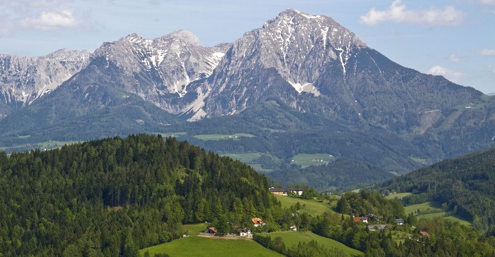
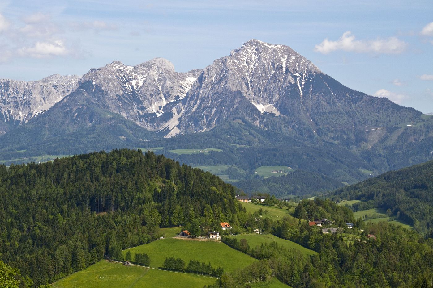
Kfz-Werkstätte Zemsauer

Percorso
Gasthof zum Sengsschmied
2,7 km
Roßleithen
2,7 km


Punto più alto
694 m

Riposo/Ritiro

Jausenstation Gallbrunn, GH Sengsschmied
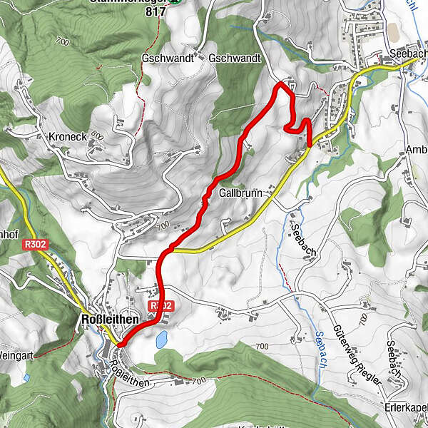
Cartine

Wanderkarte Pyhrn-Priel erhätlich in allen Pyhrn-Priel Tourismusbüros!


Valutazione complessiva

5

0

%

4

0

%

3

0

%

2

0

%

1

0

%

Errore
Si è verificato un errore. Si prega di riprovare.
Grazie per la vostra recensione

La valutazione è stata cancellata

GPS Downloads
  • GPX GPS Exchange Format (XML)
  • KML Google Earth, Google Maps
Codici di download QR per telefoni cellulari

Condizioni dei sentieri

Asfalto
Ghiaia
Prato
Foresta
Roccia
Esposta
Altri tour nelle regioni

Tour popolari della zona

Vorderstoder - Zellerhütte

difficile Escursionismo
5,55km | 749hm | 05:00h

Wurzeralm - Warscheneck

difficile Escursionismo
12,79km | 1053hm | 08:00h

Gleinkersee - Dümlerhütte

intermedio Escursionismo
7,2km | 650hm | 03:15h

Hinterstoder - Großer Priel

difficile Escursionismo
10,69km | 1993hm | 09:30h